Elevation of Huttonsville, WV, USA
Location: United States > West Virginia > Randolph County > Huttonsville >
Longitude: -79.978958
Latitude: 38.7128871
Elevation: 621m / 2037feet
Barometric Pressure: 94KPa
Elevation Map:
Satellite Map:
Related Photos:

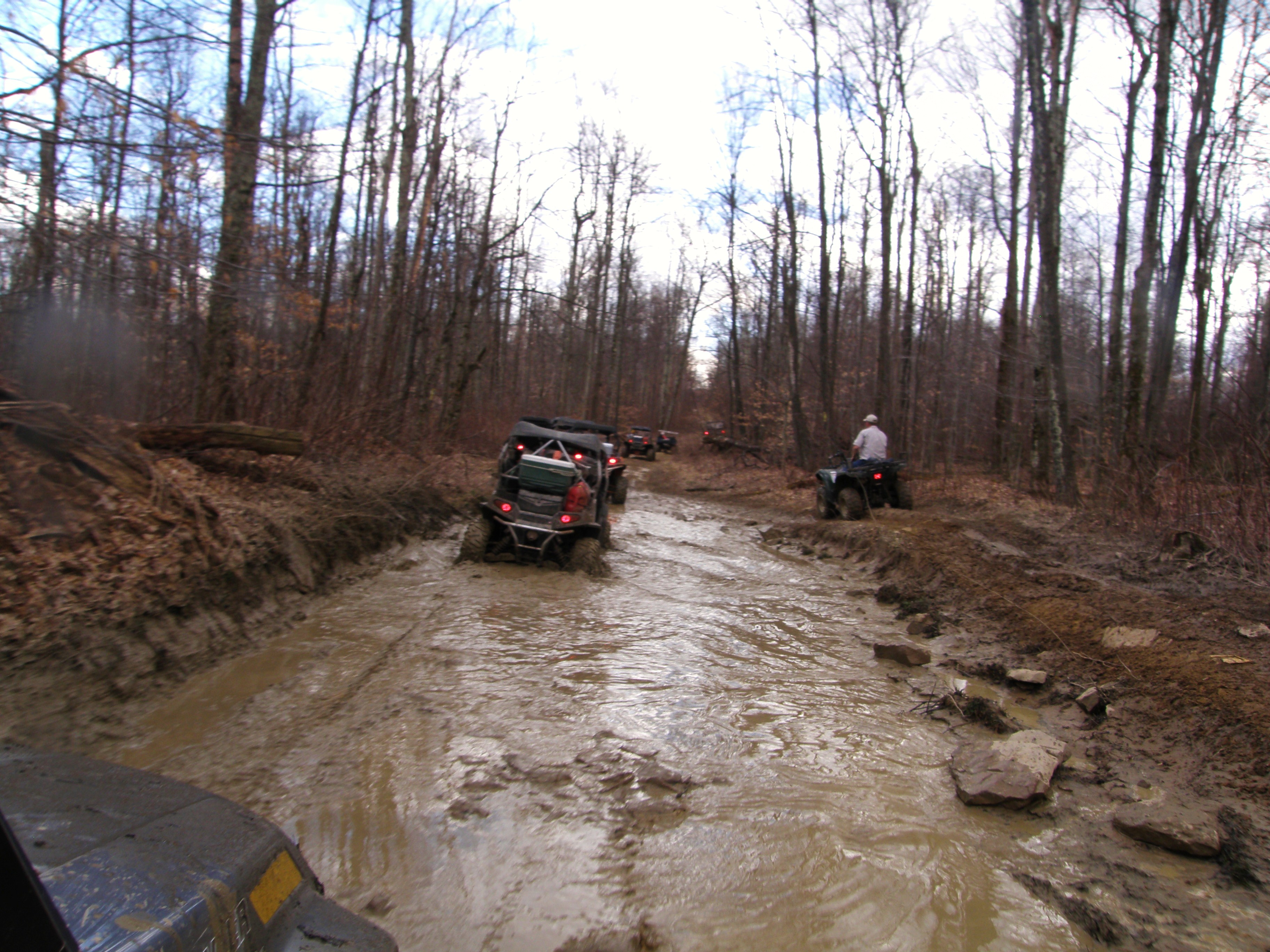
Kumbrabow Forest Milky Way

Shavers Fork, Cheat River - winter & fall

Change of seasons

Busy Bee

Gaudineer' s Knob Scenic Area

Gaudineer Tower Site

Cheat Summit Fort

Staunton-Parkersburg Turnpike

Fort Milroy Cemetery

Fort Milroy Cemetery

Kumbrabow State Forest

DSCF0036 - Version 2

Shavers Fork, Cheat River - West Virginia

Driving in a winter wonderland

Gaudineer Overlook Trail

Seven easy pieces

170918-FS-Monongahela-KMB-001
Our 2012 Trail Ride To The Maple Syrup Festival At Pickens WV

Cheat Mountain Salamander

Cheat Mountain Salamander

When Cows Go Camping

Cheat Mountain

Williams River

IMG_3312.JPG
Topographic Map of Huttonsville, WV, USA
Find elevation by address:

Places near Huttonsville, WV, USA:
Mill Creek
Huttonsville
Huttonsville, WV, USA
Randolph County
Valley Bend, WV, USA
Beverly, WV, USA
Cottage Hill Ln, Beverly, WV, USA
Middle Fork
Burgess Mobile Home Park
Rich Mountain Battlefield
Beverly
Rich Mountain Road
Valley Head
Coalton
Left Fork Files Creek
Roaring Creek
County Road 151
Valley Head, WV, USA
Mingo
Beverly
Recent Searches:
- Elevation of Corso Fratelli Cairoli, 35, Macerata MC, Italy
- Elevation of Tallevast Rd, Sarasota, FL, USA
- Elevation of 4th St E, Sonoma, CA, USA
- Elevation of Black Hollow Rd, Pennsdale, PA, USA
- Elevation of Oakland Ave, Williamsport, PA, USA
- Elevation of Pedrógão Grande, Portugal
- Elevation of Klee Dr, Martinsburg, WV, USA
- Elevation of Via Roma, Pieranica CR, Italy
- Elevation of Tavkvetili Mountain, Georgia
- Elevation of Hartfords Bluff Cir, Mt Pleasant, SC, USA