Elevation of Roaring Creek, WV, USA
Location: United States > West Virginia > Randolph County >
Longitude: -79.986407
Latitude: 38.9108264
Elevation: 687m / 2254feet
Barometric Pressure: 93KPa
Elevation Map:
Satellite Map:
Related Photos:

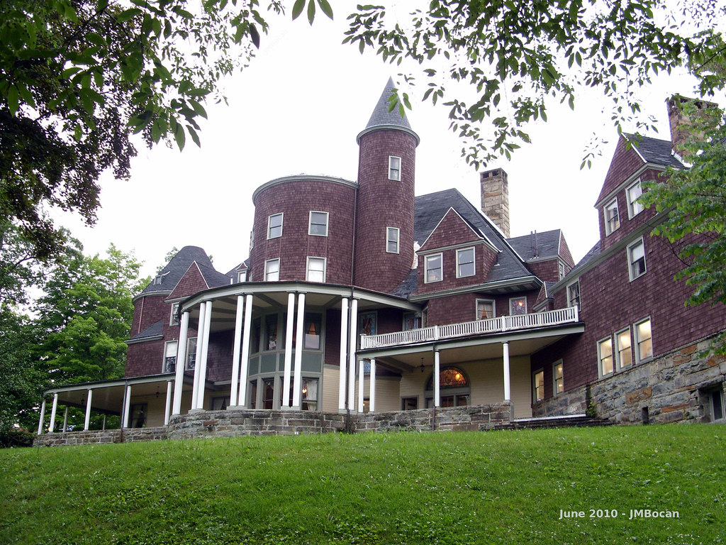
A View from Graceland

Roadside View 2

Roadside view

Graceland Inn - Side View
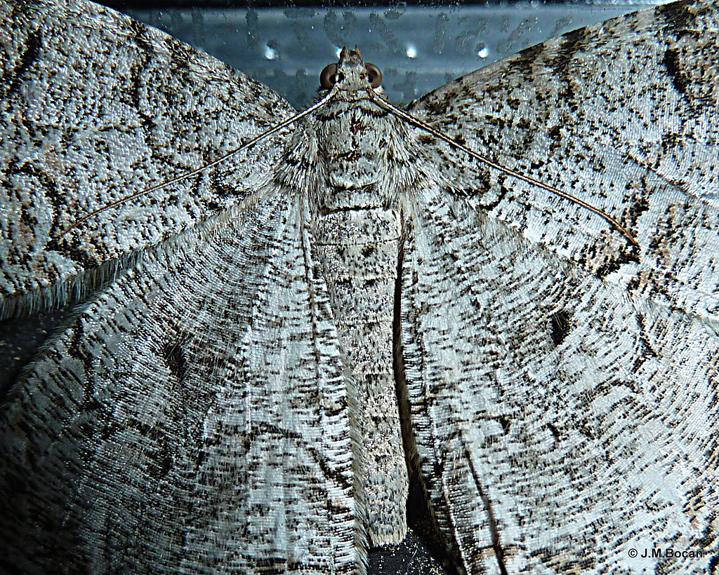
Moth - Detail
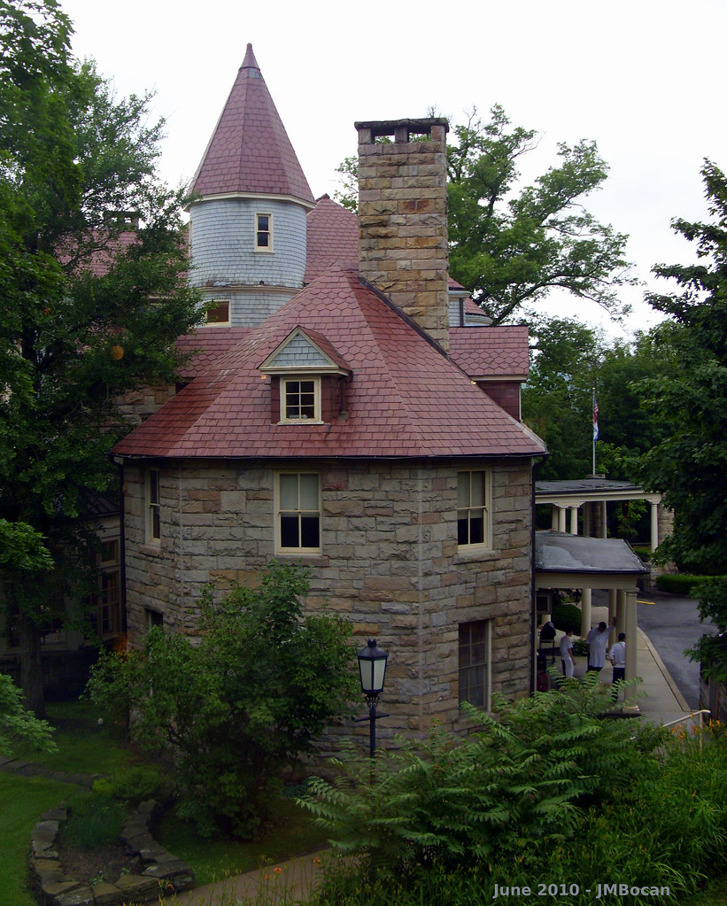
Halliehurst Hall - Back View
Graceland - Side View

DSCS702346.JPG
Cross Me If You Dare

When Cows Go Camping

Audra State Park

Focused in.

Rays of Country Goodness

Seven easy pieces

Driving in a winter wonderland
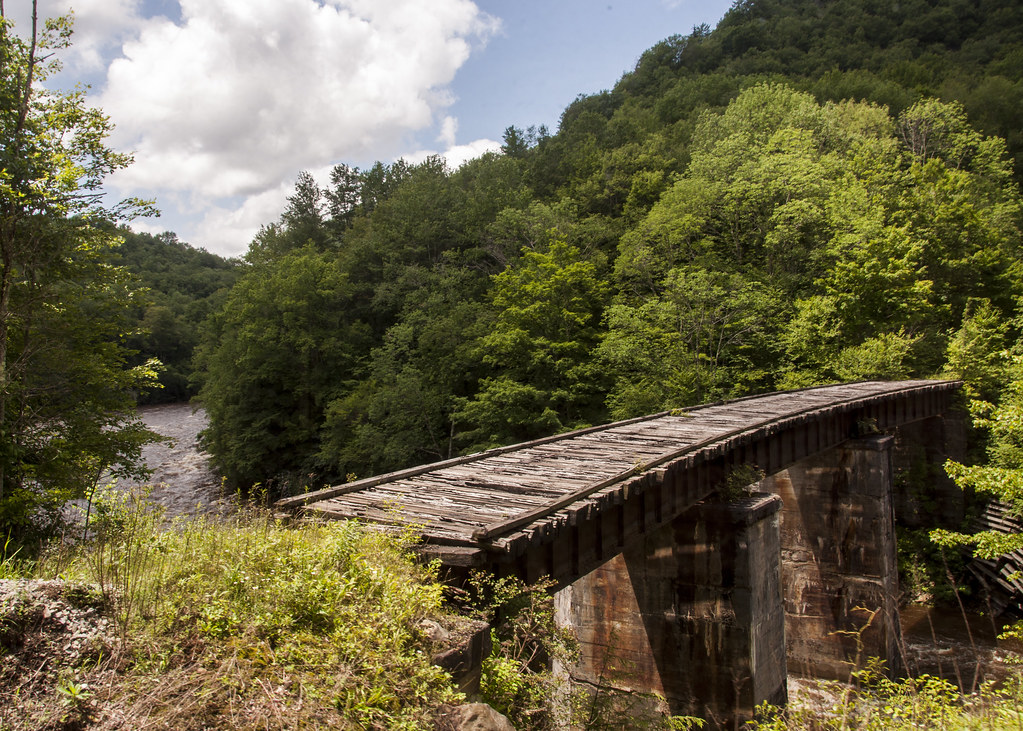
Tygarts Valley River

14/365

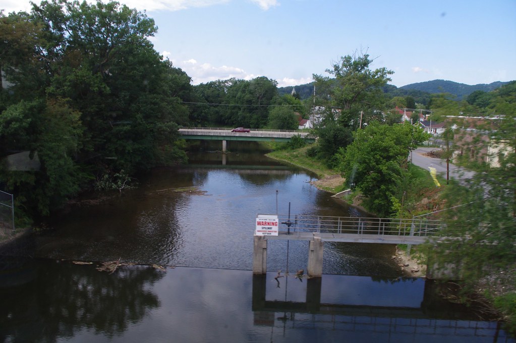
Backing into Elkins
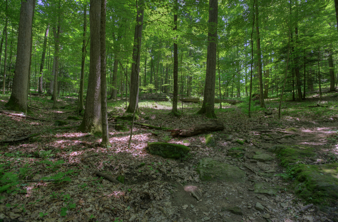
Audra State Park

Laurel Hill Battlefield

Audra State Park

Middle Fork River Image 14 7-14-2004 Photo

Glendale Park

Middle Fork River Image 13 7-14-2004 Photo

Glendale Park

Laurel Hill Battlefield

The 63 foot lower falls at Falls of Hills Creek ???? #waterfall #gotowv #wv #nature #everytrailconnects
Topographic Map of Roaring Creek, WV, USA
Find elevation by address:

Places near Roaring Creek, WV, USA:
County Road 151
Coalton
Rich Mountain Battlefield
Barbour County Hwy, Belington, WV, USA
Weaver Rd, Belington, WV, USA
56 Concord Rd
Old Elkins Rd, Ellamore, WV, USA
Burnt Bridge Rd, Buckhannon, WV, USA
101 Lincoln Ave
2000 Livingston Ave
Elkins Depot Welcome Center
Leadsville
Elkins
299 Wamsley Rd
Davis & Elkins College
200 Sycamore St
E 3rd St, Elkins, WV, USA
857 Hawkins Rd
Cravens Run Road
Rainbow Estate Road
Recent Searches:
- Elevation of Corso Fratelli Cairoli, 35, Macerata MC, Italy
- Elevation of Tallevast Rd, Sarasota, FL, USA
- Elevation of 4th St E, Sonoma, CA, USA
- Elevation of Black Hollow Rd, Pennsdale, PA, USA
- Elevation of Oakland Ave, Williamsport, PA, USA
- Elevation of Pedrógão Grande, Portugal
- Elevation of Klee Dr, Martinsburg, WV, USA
- Elevation of Via Roma, Pieranica CR, Italy
- Elevation of Tavkvetili Mountain, Georgia
- Elevation of Hartfords Bluff Cir, Mt Pleasant, SC, USA