Elevation of Weaver Rd, Belington, WV, USA
Location: United States > West Virginia > Barbour County >
Longitude: -79.93109
Latitude: 38.969205
Elevation: 590m / 1936feet
Barometric Pressure: 94KPa
Elevation Map:
Satellite Map:
Related Photos:

Roadside view

Roadside View 2

Storm grate - 200 block of Randolph Street - Elkins, West Virginia

Moth - Detail
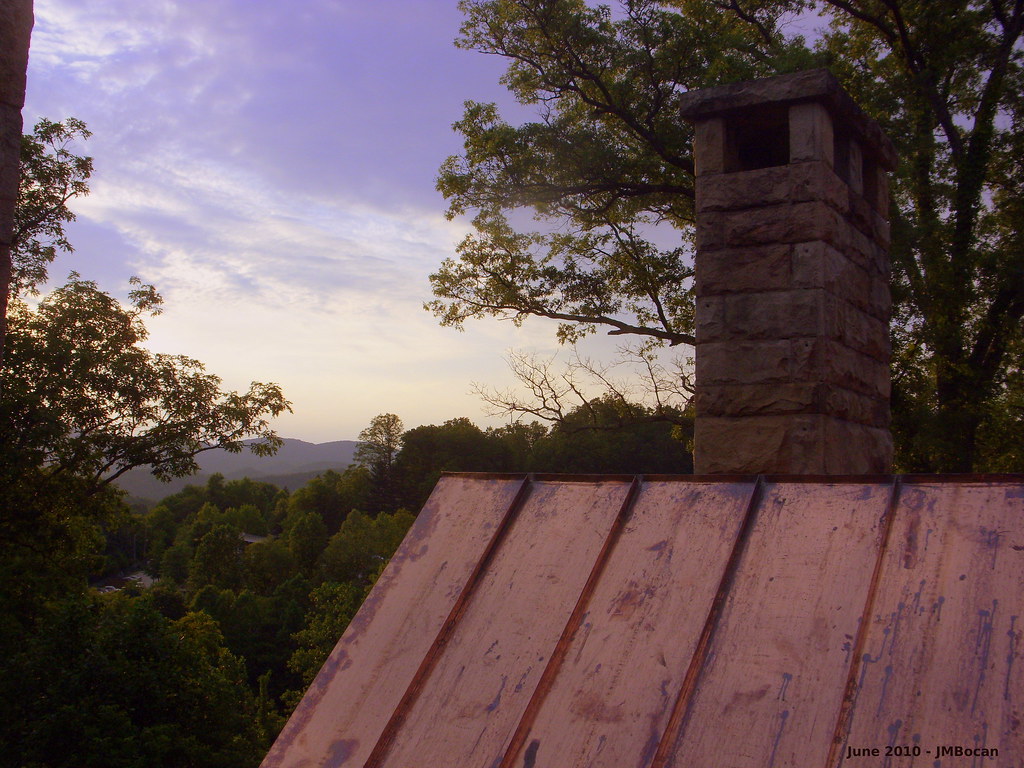
A View from Graceland
Graceland Inn - Side View

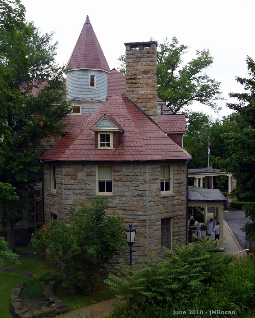
Halliehurst Hall - Back View
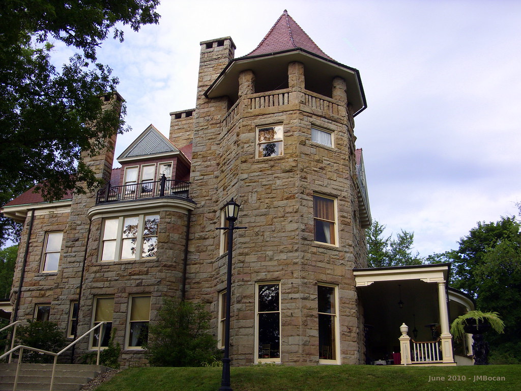
Graceland - Side View

DSCS702346.JPG
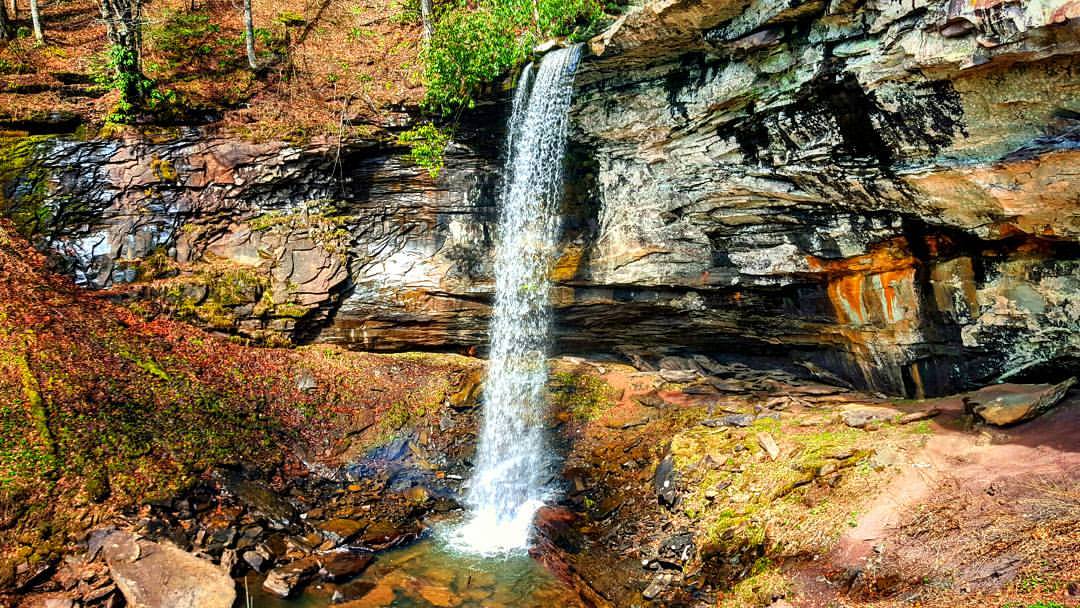
The 63 foot lower falls at Falls of Hills Creek ???? #waterfall #gotowv #wv #nature #everytrailconnects
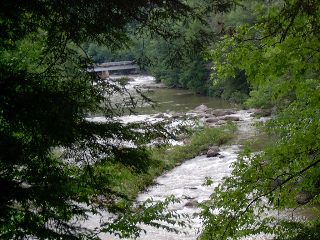
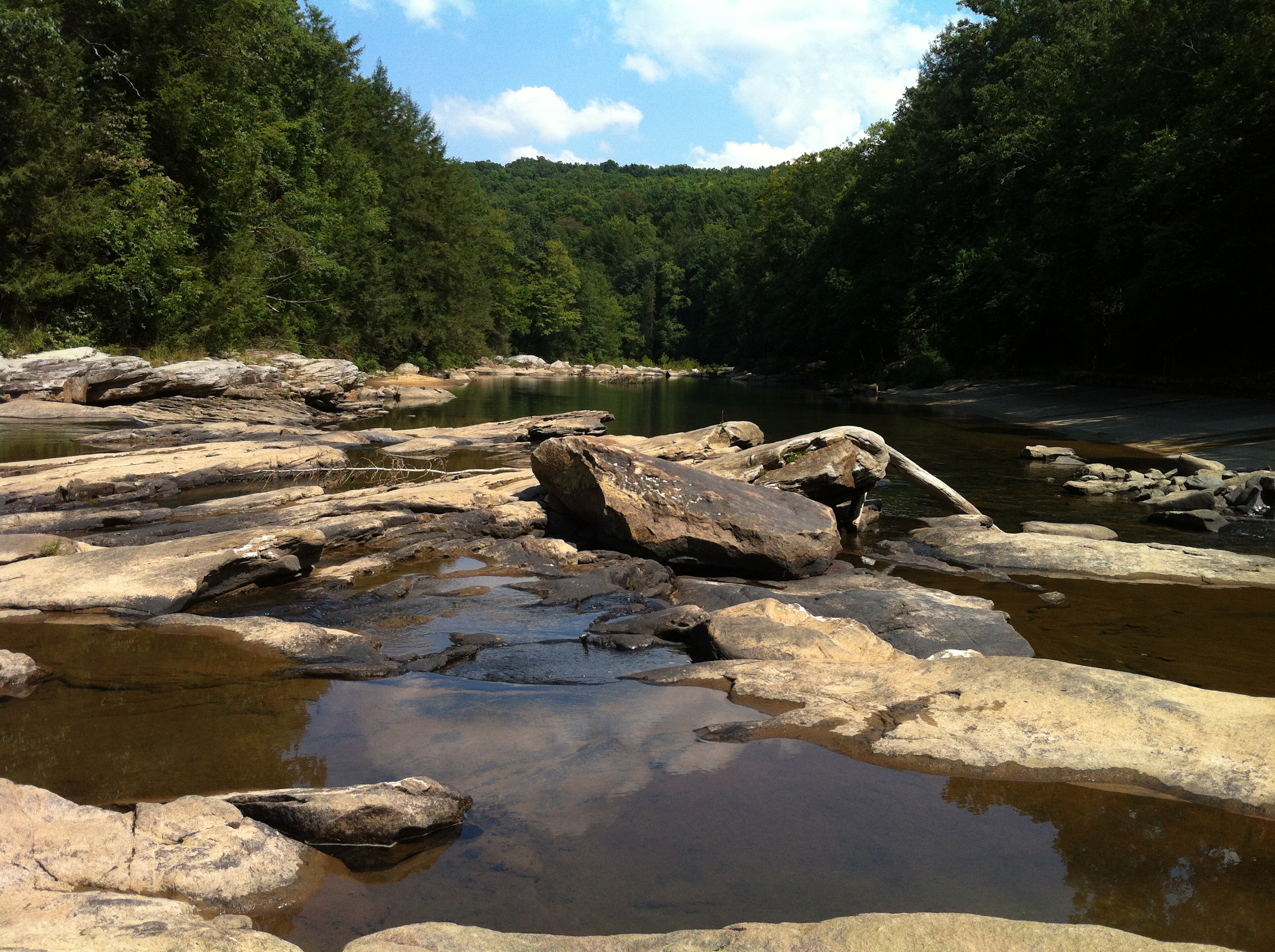
Middle Fork River Image 3 7-14-2004 Photo
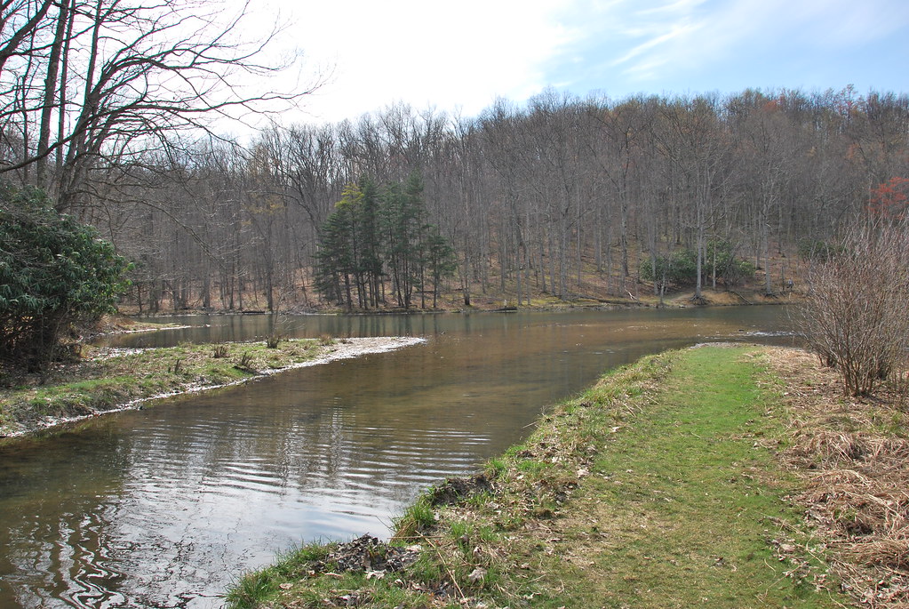
Teter Creek Lake
Camp Garnett 3-16-2006 Photo
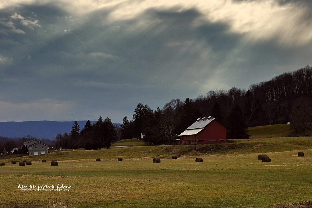
Rays of Country Goodness
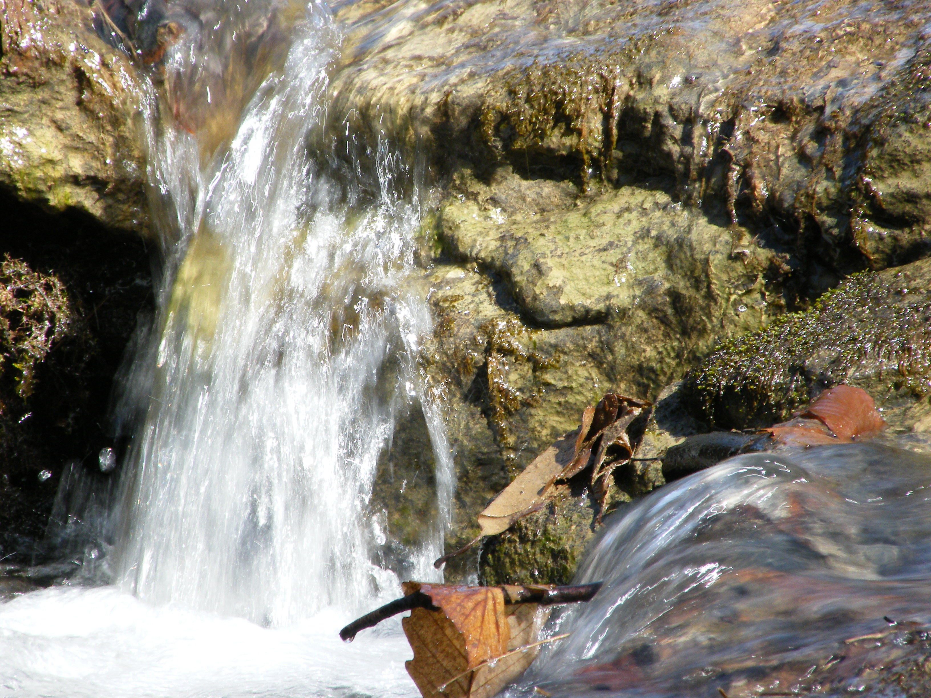
Falling Water 2
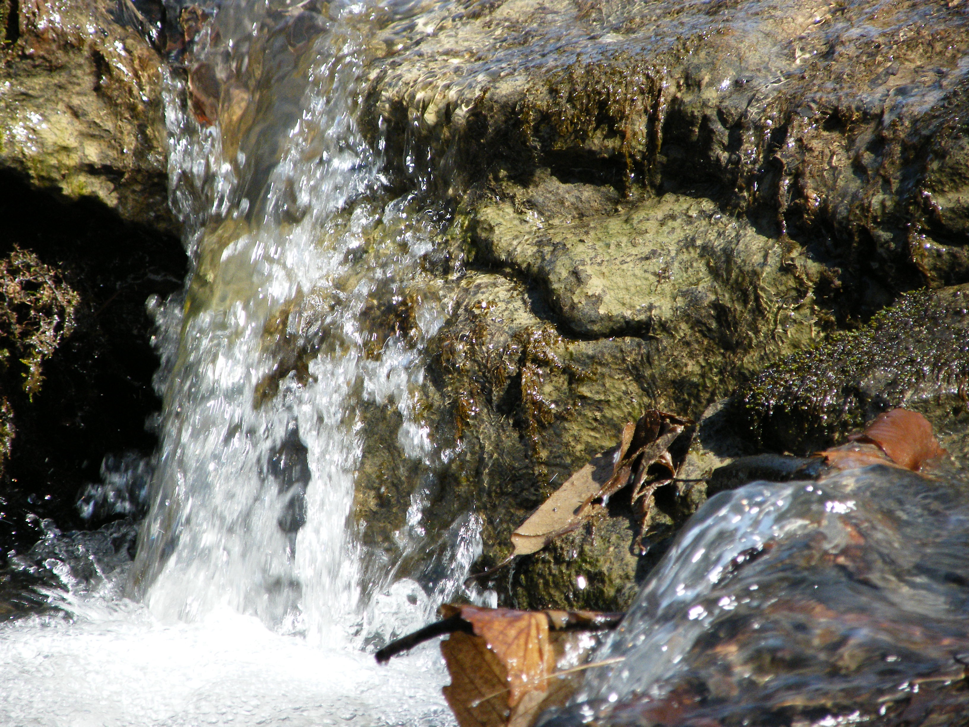
Falling Water 3
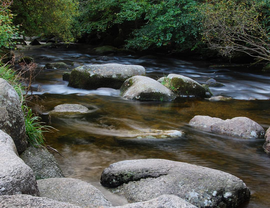
#dartmeet #devon #dartmoor #dslr #d80 #nikon #water #waterfall #stream #longexposure

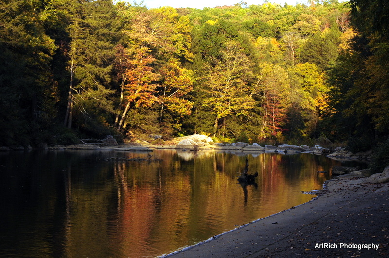
Greens of Autumn
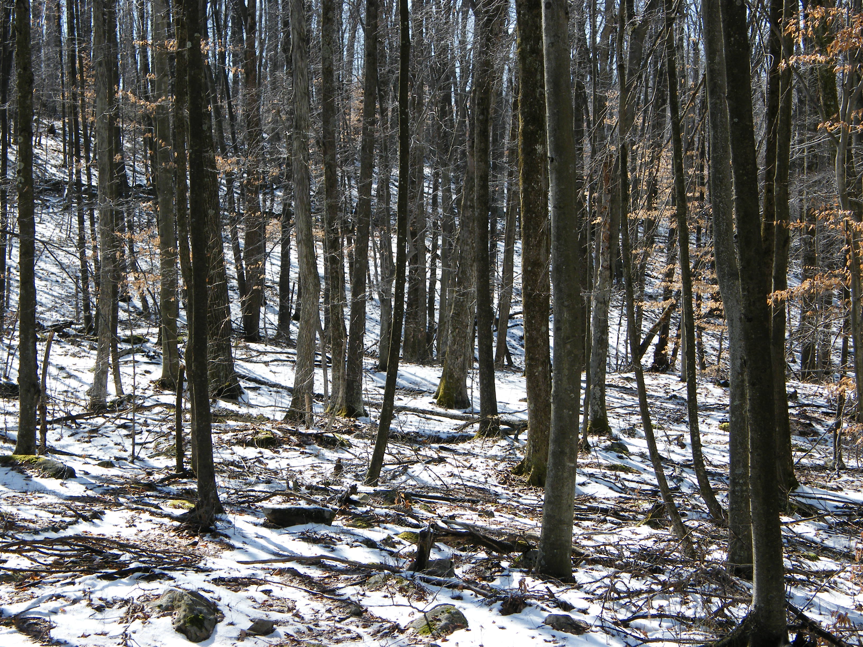
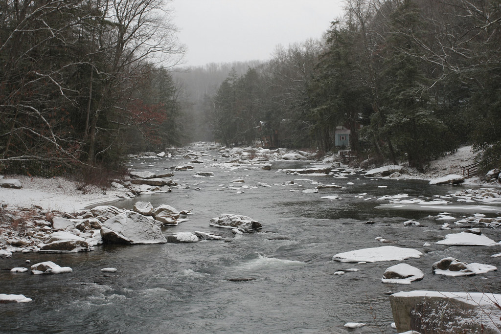
Melting Snow

Sunset Through Trees
Audra State Park
Img1984 06-Dec-08
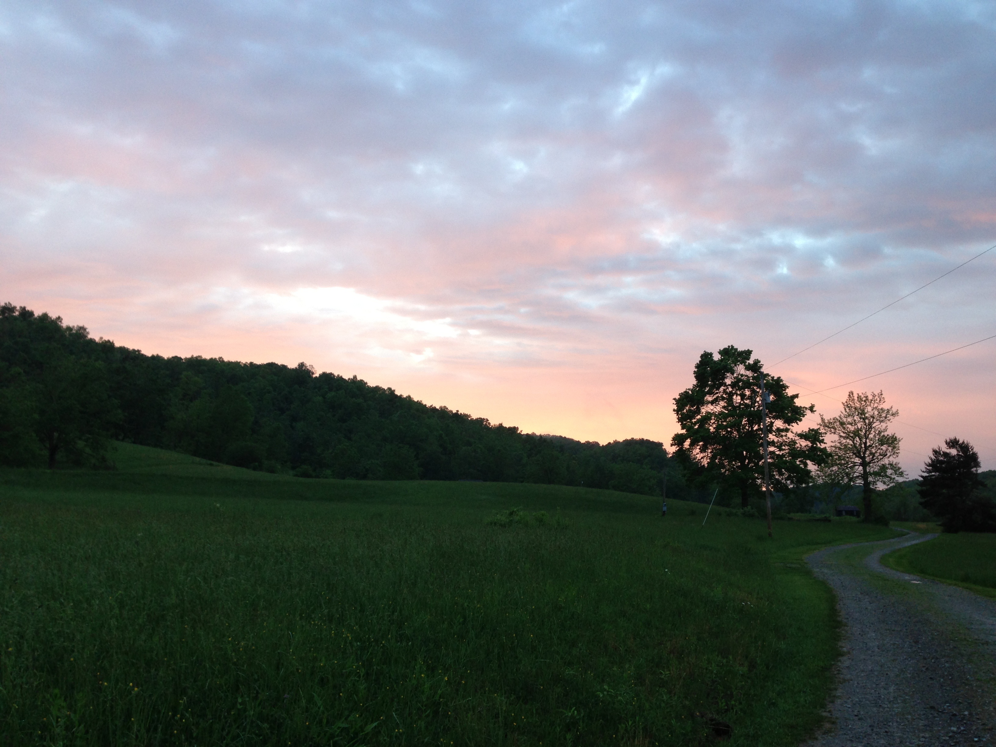
Evening light
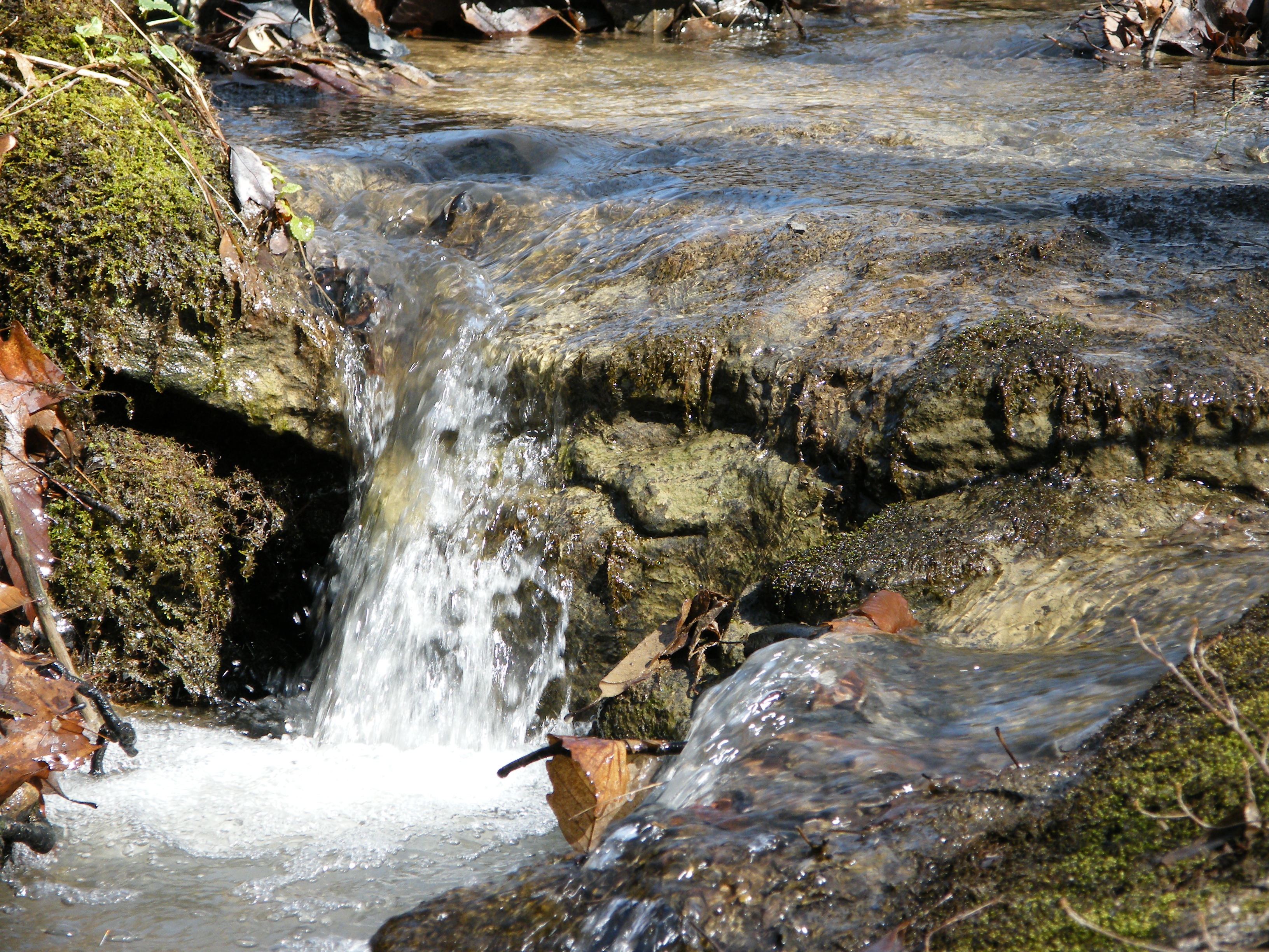
Falling Water 4

14/365
Landscape Enlargements

Audra State Park
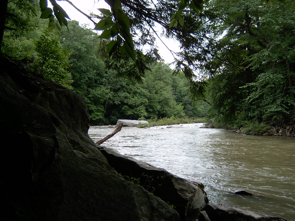
Middle Fork River Image 4 7-14-2004 Photo
Topographic Map of Weaver Rd, Belington, WV, USA
Find elevation by address:

Places near Weaver Rd, Belington, WV, USA:
Barbour County Hwy, Belington, WV, USA
56 Concord Rd
Roaring Creek
Coalton
101 Lincoln Ave
Leadsville
County Road 151
Elkins Depot Welcome Center
2000 Livingston Ave
Davis & Elkins College
Elkins
200 Sycamore St
Cravens Run Road
Rainbow Estate Road
Whyte
Rich Mountain Battlefield
E 3rd St, Elkins, WV, USA
Kelly Mountain Road
Old Elkins Rd, Ellamore, WV, USA
Beverly
Recent Searches:
- Elevation of Corso Fratelli Cairoli, 35, Macerata MC, Italy
- Elevation of Tallevast Rd, Sarasota, FL, USA
- Elevation of 4th St E, Sonoma, CA, USA
- Elevation of Black Hollow Rd, Pennsdale, PA, USA
- Elevation of Oakland Ave, Williamsport, PA, USA
- Elevation of Pedrógão Grande, Portugal
- Elevation of Klee Dr, Martinsburg, WV, USA
- Elevation of Via Roma, Pieranica CR, Italy
- Elevation of Tavkvetili Mountain, Georgia
- Elevation of Hartfords Bluff Cir, Mt Pleasant, SC, USA