Elevation of Burnt Bridge Rd, Buckhannon, WV, USA

Location: United States > West Virginia > Upshur County > Second >

Longitude: -80.102668

Latitude: 38.904682

Elevation: 565m / 1854feet

Barometric Pressure: 95KPa

Elevation Map:

elevation map of Burnt Bridge Rd, Buckhannon, WV, USA

Satellite Map:

Satellite map of Burnt Bridge Rd, Buckhannon, WV, USA

Related Photos:

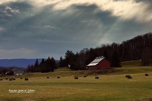
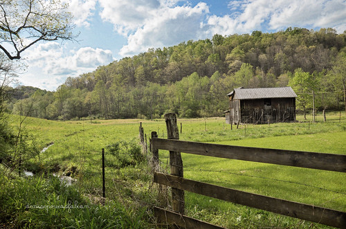
sky sunlight mountains nature field barn rural landscape outdoors farm country meadow explore westvirginia beverly rays appalachia richmountain randolphcounty nikond90 richmountainbattlefield
Rays of Country Goodness
usa unitedstates westvirginia rivers mississippiriver ohioriver monongahelariver buckhannon barbourcounty belington middleforkriver tygartvalleyriver
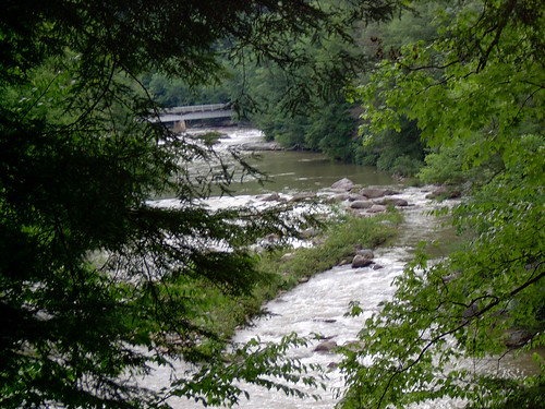
Middle Fork River Image 3 7-14-2004 Photo
usa unitedstates westvirginia coalton richmountainbattlefield
Camp Garnett 3-16-2006 Photo
mountains army westvirginia militaryhistory 1861 americancivilwar randolphctywv
Camp Garrett at foot of Rich Mountain WV
mountains army westvirginia militaryhistory 1861 americancivilwar westvirginiahistory randolphctywv
Rich Mountain Battlefield WV: 1861 June
rural outdoors countryside spring seasons state textures barbara westvirginia processing appalachia 2012 upshurcounty nikond90 gladyfork fencefriday kimklassen onethousandgifts beyondlayers
And a Happy Fence Friday to All
water
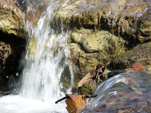
Falling Water 2
water
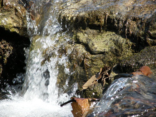
Falling Water 3
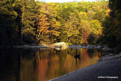
motion green water pine flow wv rhododendron hdr audra
Greens of Autumn
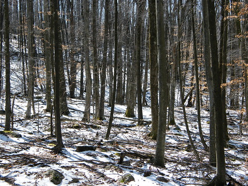
snow woods
Melting Snow
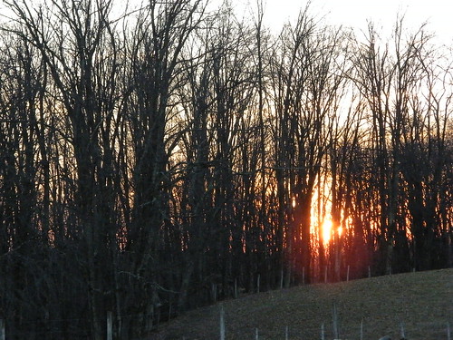
trees sunset
Sunset Through Trees
Audra State Park
geocaching
Img1984 06-Dec-08
water
Falling Water 4
Landscape Enlargements
usa canonef1635mmf28liiusm canoneos5dmarkii bw82mmkaesemanncircularpolarizerwithmultiresistantcoati optekacfm300carbonfibermonopodwithbenrob1ballhead
Audra State Park
usa unitedstates westvirginia rivers mississippiriver ohioriver monongahelariver buckhannon barbourcounty belington middleforkriver tygartvalleyriver
Middle Fork River Image 4 7-14-2004 Photo
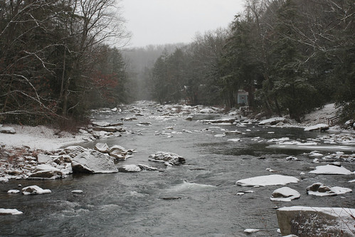
sun river rocks wv audrastatepark
Audra State Park
usa unitedstates westvirginia rivers mississippiriver ohioriver monongahelariver buckhannon barbourcounty belington middleforkriver tygartvalleyriver
Middle Fork River Image 7 7-14-2004 Photo
usa unitedstates westvirginia rivers mississippiriver ohioriver monongahelariver buckhannon barbourcounty belington middleforkriver tygartvalleyriver
Middle Fork River Image 14 7-14-2004 Photo
usa unitedstates westvirginia rivers mississippiriver ohioriver monongahelariver buckhannon barbourcounty belington middleforkriver tygartvalleyriver
Middle Fork River Image 13 7-14-2004 Photo