Elevation of Wamsley Rd, Buckhannon, WV, USA
Location: United States > West Virginia > Upshur County > Second >
Longitude: -80.127763
Latitude: 38.920951
Elevation: 609m / 1998feet
Barometric Pressure: 94KPa
Elevation Map:
Satellite Map:
Related Photos:
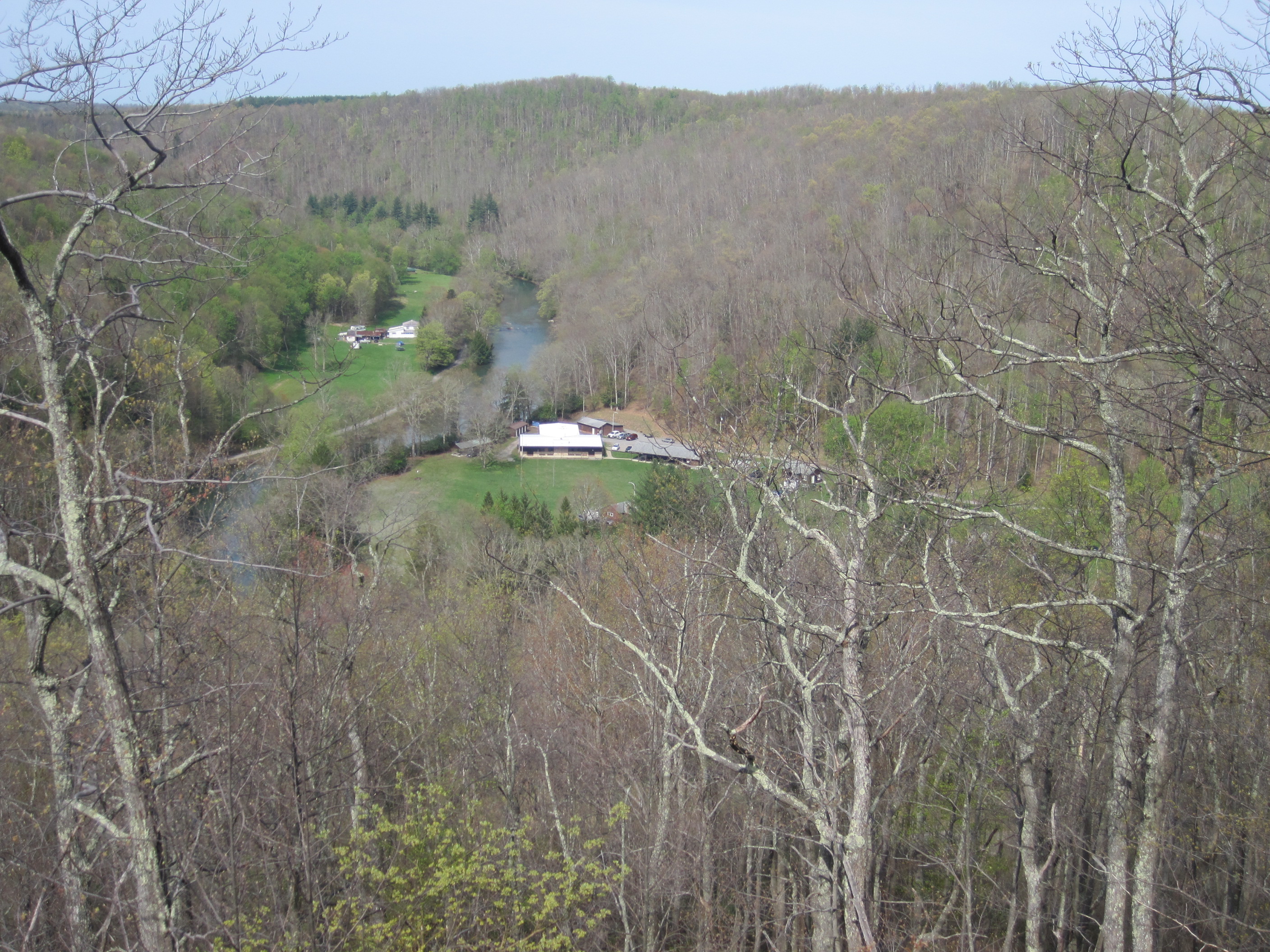
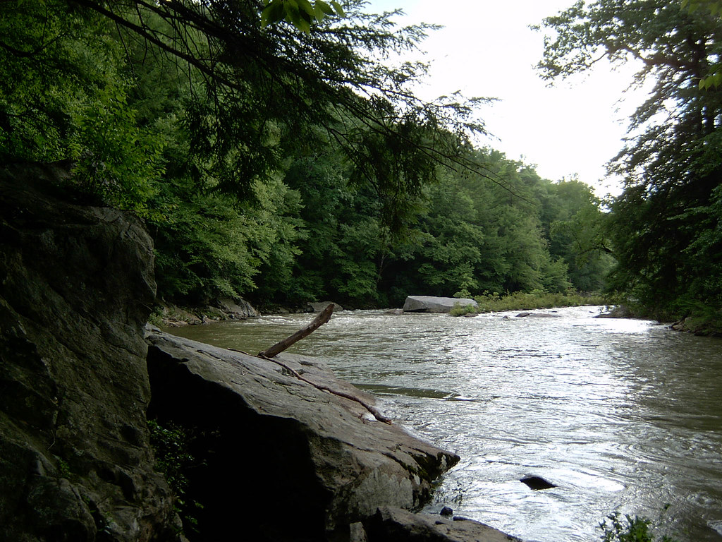
IMG_1610
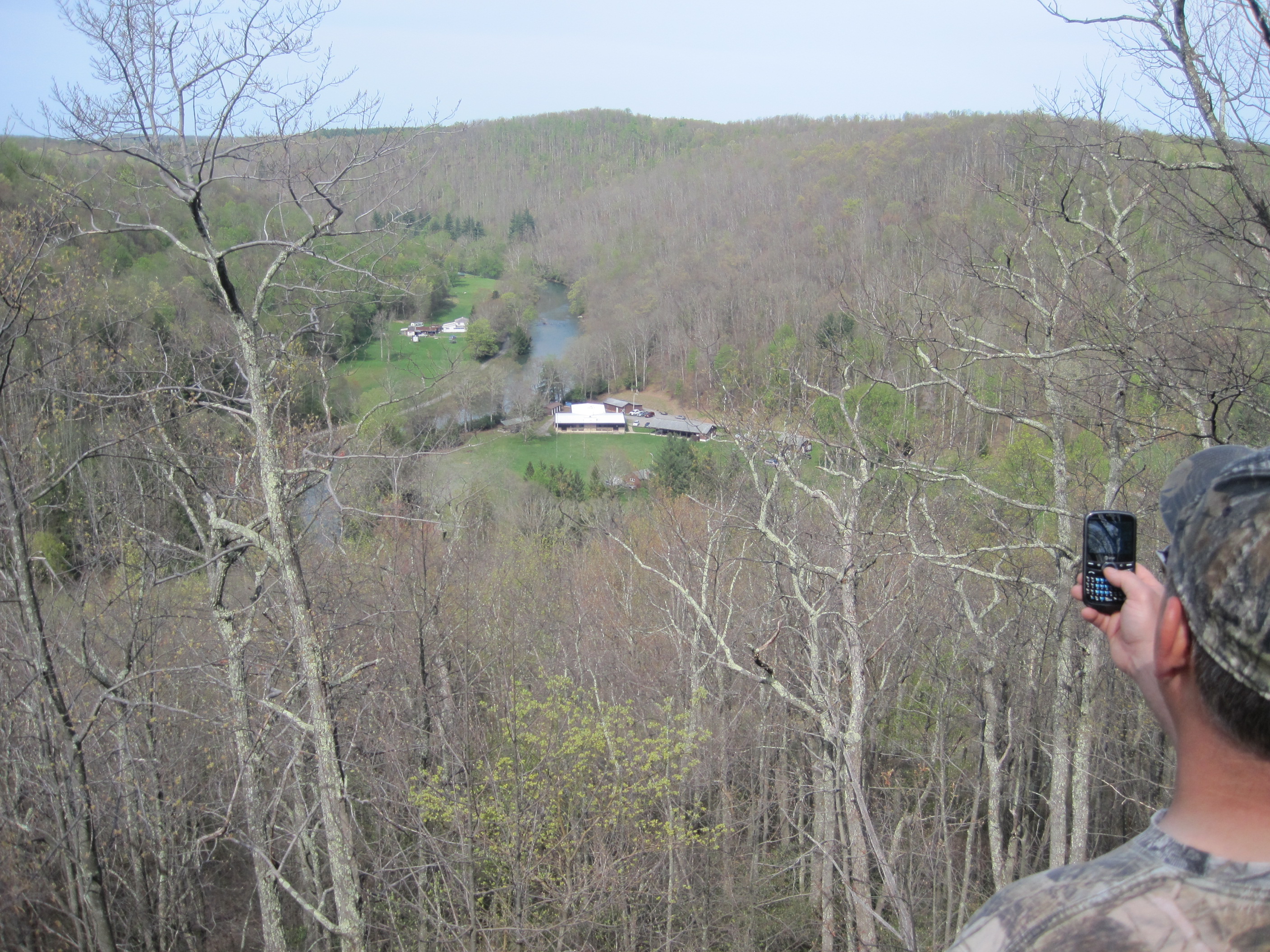
IMG_1607
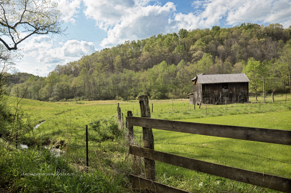
And a Happy Fence Friday to All
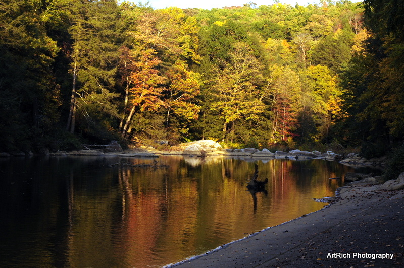
Audra State Park
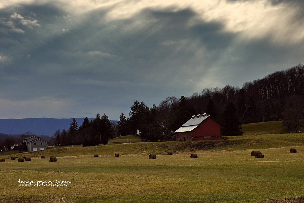
Rays of Country Goodness
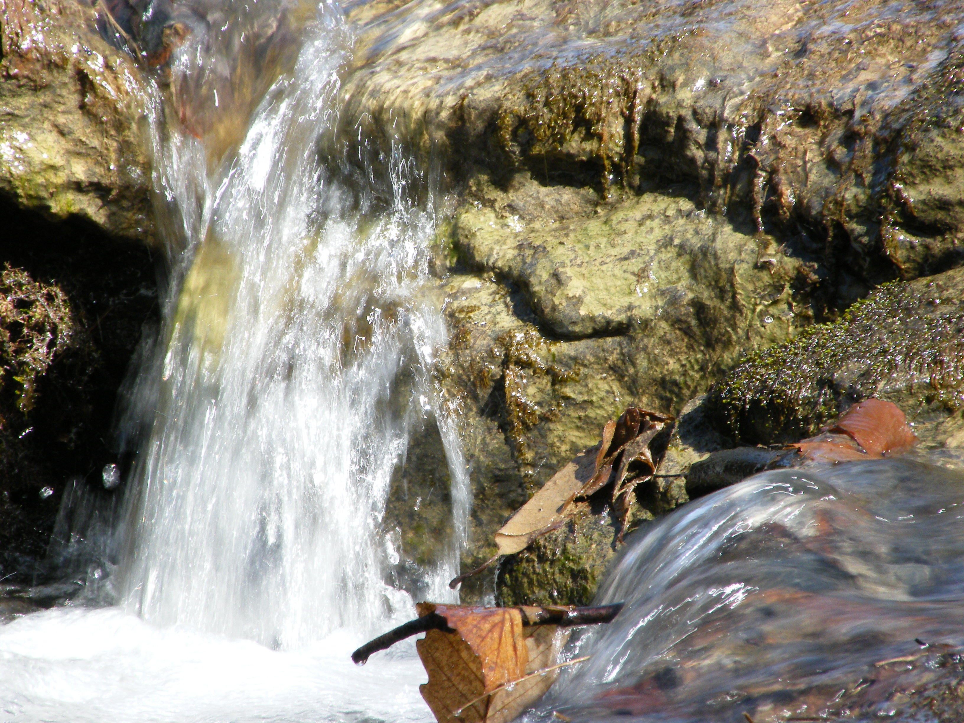
Falling Water 2
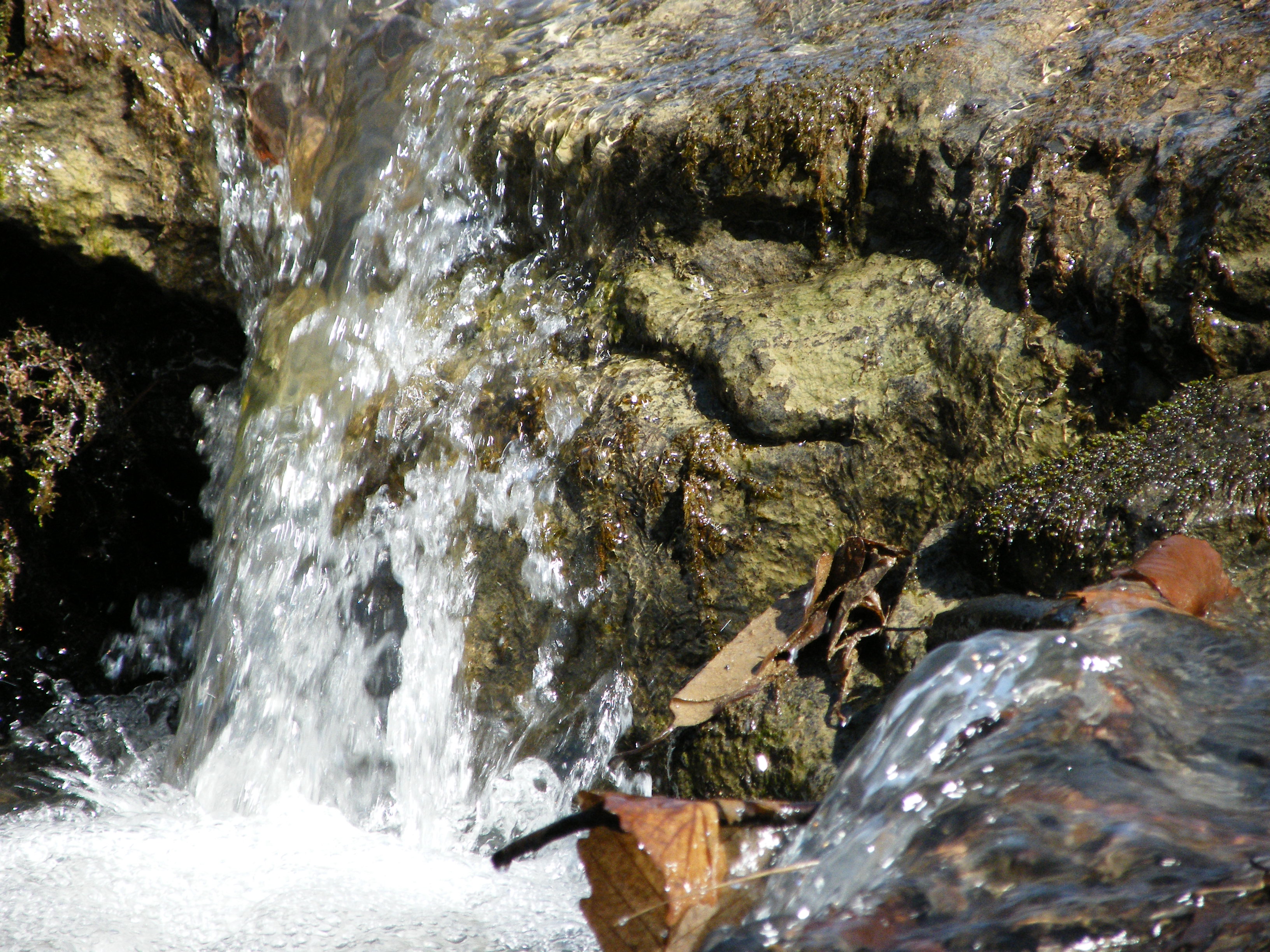
Falling Water 3

Sunset Through Trees
Img1984 06-Dec-08
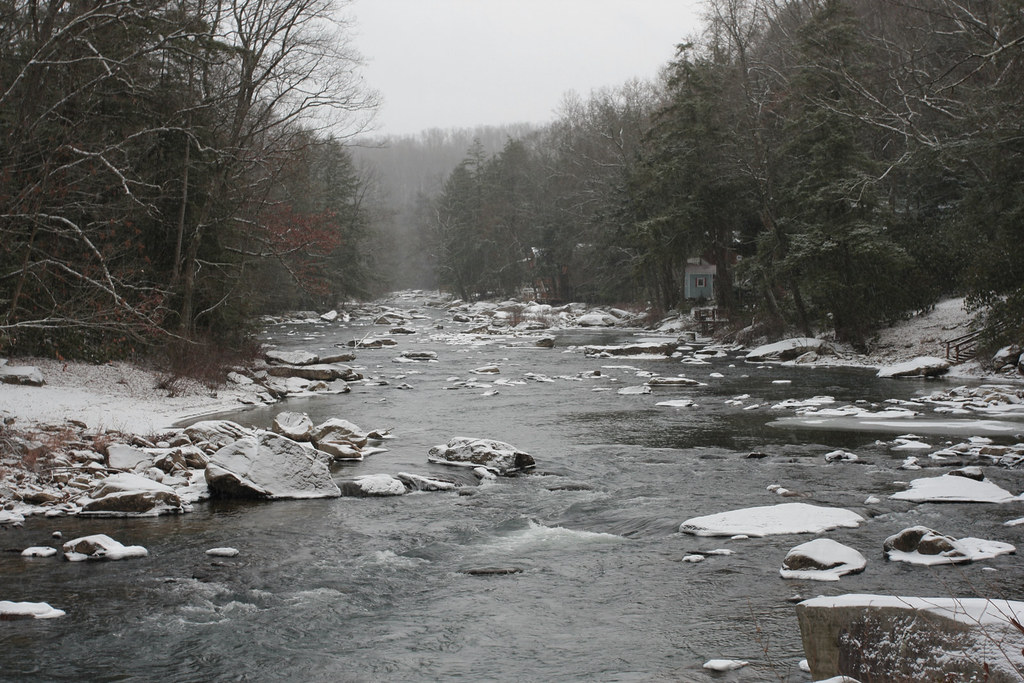
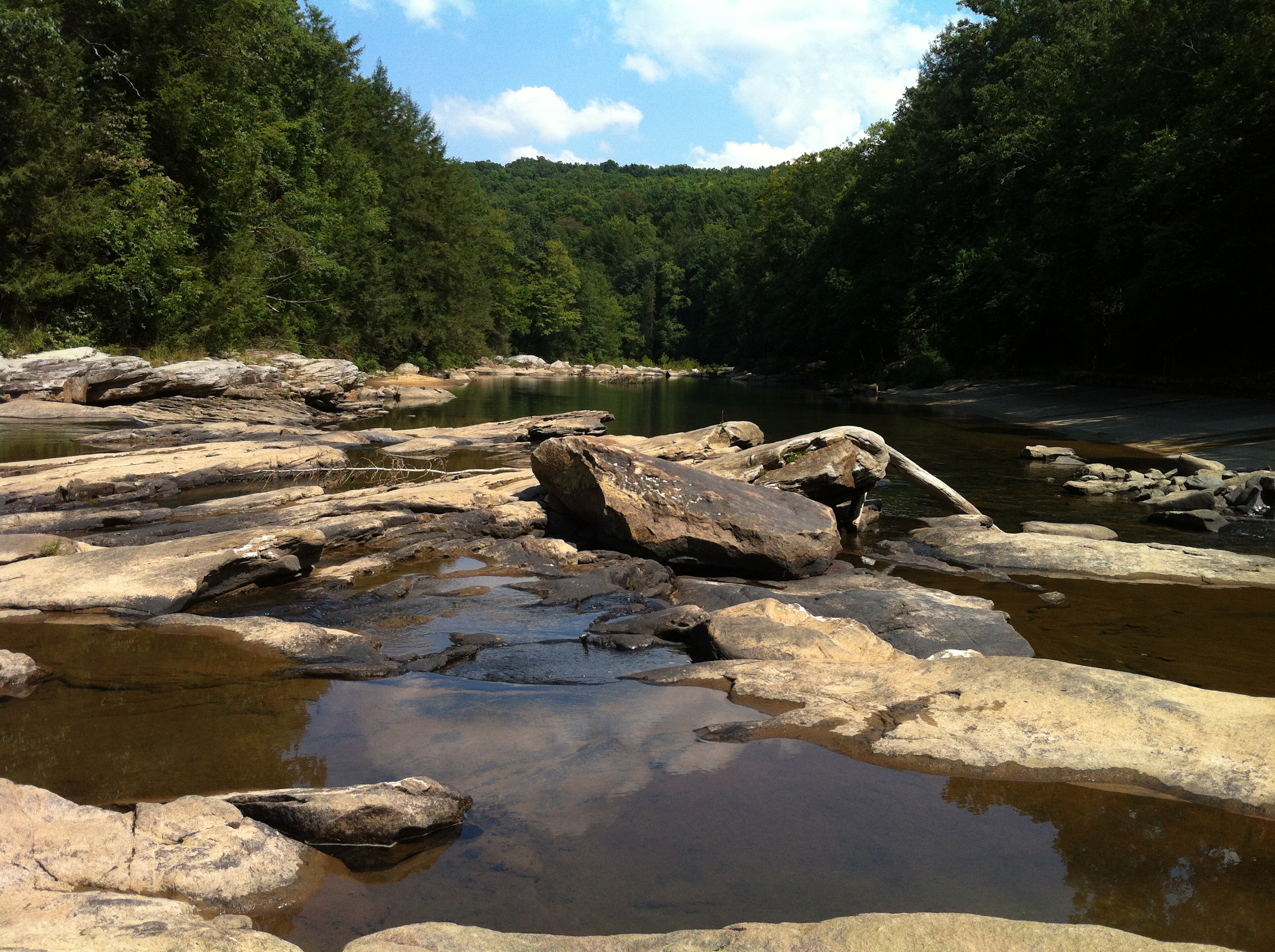
Middle Fork River Image 7 7-14-2004 Photo
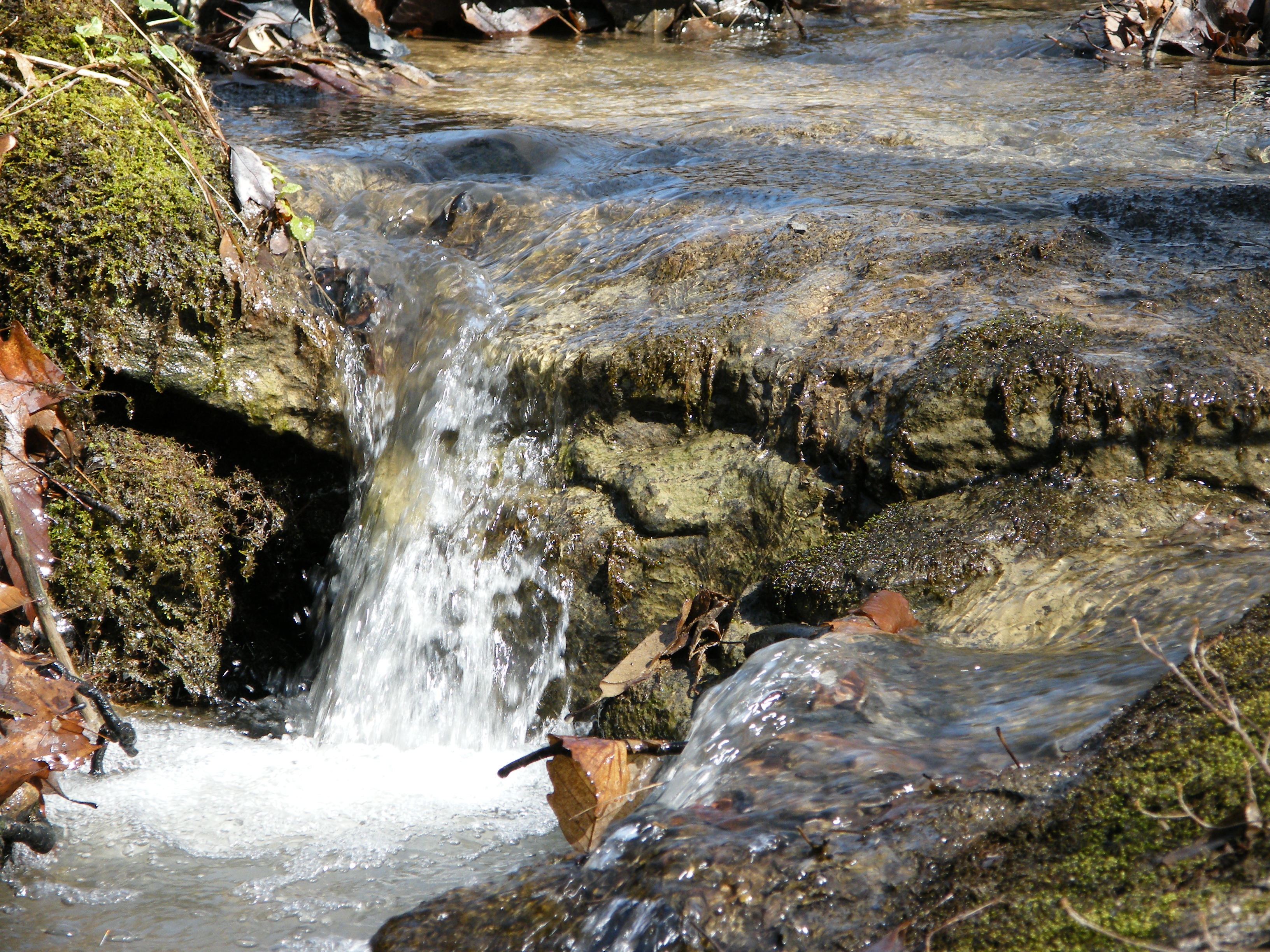
Falling Water 4
Landscape Enlargements
Audra State Park
Camp Garnett 3-16-2006 Photo
Middle Fork River Image 14 7-14-2004 Photo

Rich Mountain Battlefield
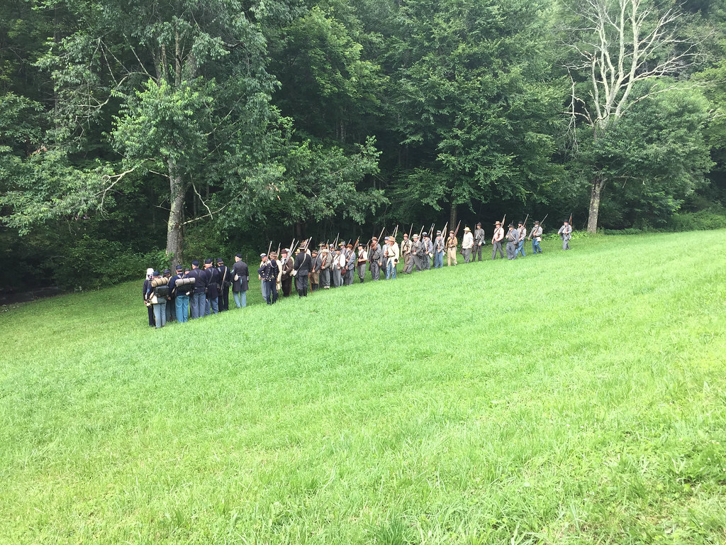
Rich Mountain Battlefield

Rich Mountain Battlefield

Audra State Park
Topographic Map of Wamsley Rd, Buckhannon, WV, USA
Find elevation by address:

Places near Wamsley Rd, Buckhannon, WV, USA:
857 Hawkins Rd
Burnt Bridge Rd, Buckhannon, WV, USA
Old Elkins Rd, Ellamore, WV, USA
1556 Hardman Rd
1556 Hardman Rd
County Road 151
Roaring Creek
Coalton
56 Concord Rd
Barbour County Hwy, Belington, WV, USA
Rich Mountain Battlefield
Weaver Rd, Belington, WV, USA
101 Lincoln Ave
2000 Livingston Ave
Leadsville
Elkins Depot Welcome Center
Elkins
Davis & Elkins College
200 Sycamore St
E 3rd St, Elkins, WV, USA
Recent Searches:
- Elevation of Corso Fratelli Cairoli, 35, Macerata MC, Italy
- Elevation of Tallevast Rd, Sarasota, FL, USA
- Elevation of 4th St E, Sonoma, CA, USA
- Elevation of Black Hollow Rd, Pennsdale, PA, USA
- Elevation of Oakland Ave, Williamsport, PA, USA
- Elevation of Pedrógão Grande, Portugal
- Elevation of Klee Dr, Martinsburg, WV, USA
- Elevation of Via Roma, Pieranica CR, Italy
- Elevation of Tavkvetili Mountain, Georgia
- Elevation of Hartfords Bluff Cir, Mt Pleasant, SC, USA