Elevation of Valley Bend, WV, USA

Location: United States > West Virginia > Randolph County > Beverly >

Longitude: -79.91835

Latitude: 38.80221

Elevation: 679m / 2228feet

Barometric Pressure: 93KPa

Elevation Map:

elevation map of Valley Bend, WV, USA

Satellite Map:

Satellite map of Valley Bend, WV, USA

Related Photos:

elkinswv gracelandinn davisandelkins davisandelkinscollege
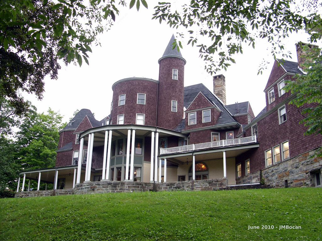
A View from Graceland
elkinswv gracelandinn davisandelkins davisandelkinscollege
Graceland Inn - Side View
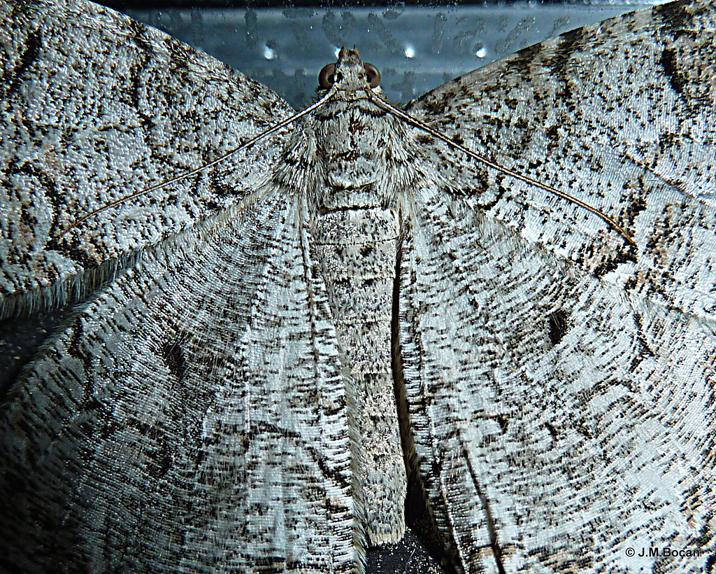
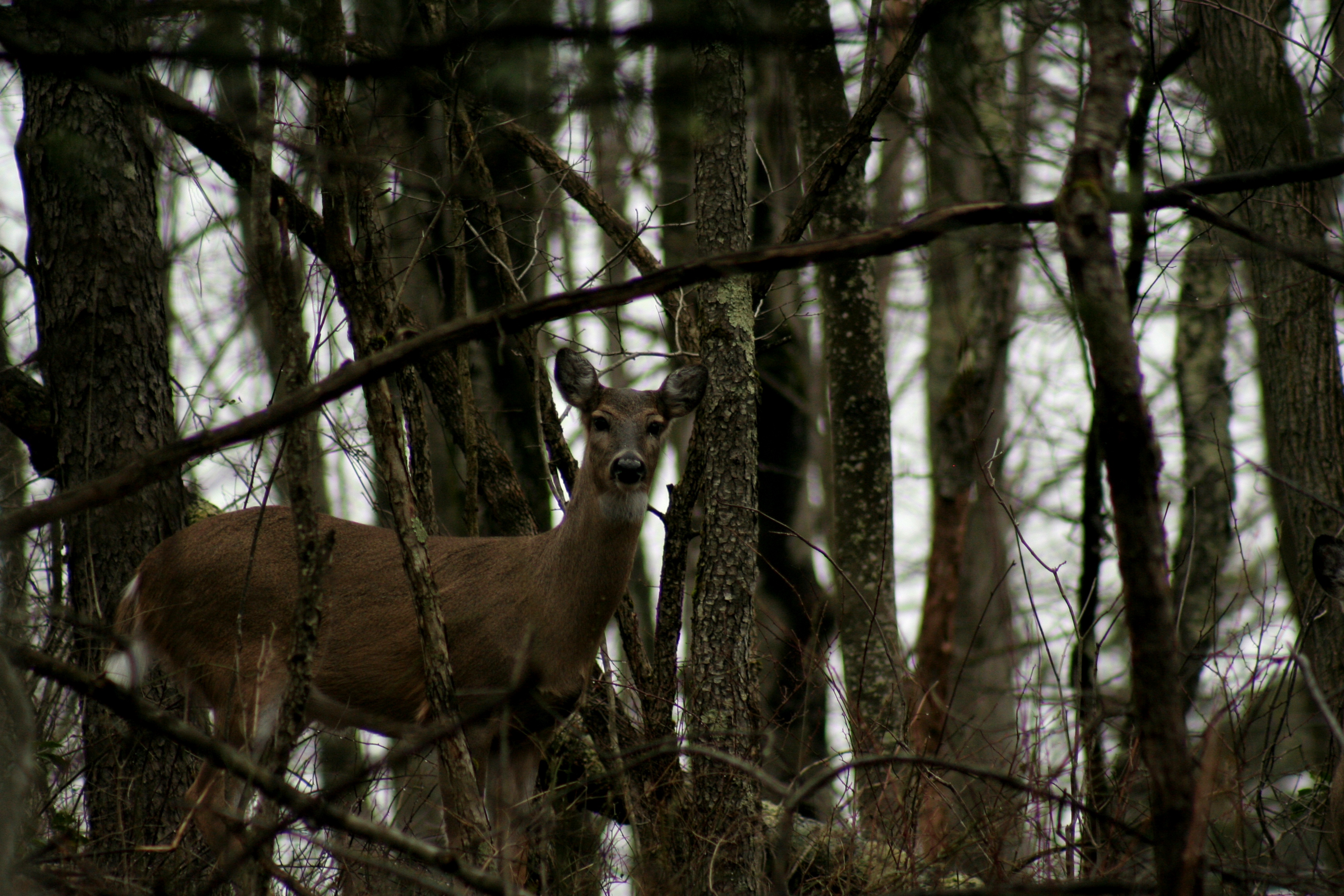
moth insects bugs lepidoptera
Moth - Detail
railroad train canon geotagged is scenic westvirginia geotag efs 2012 cheatmountainsalamander f3556 18135mm 60d
Cheat Mountain Salamander 04
wv elkins
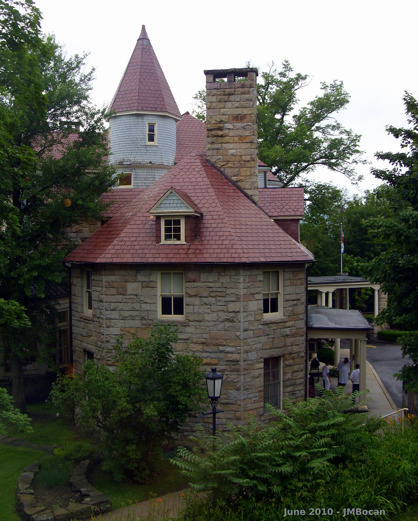
Halliehurst Hall - Back View
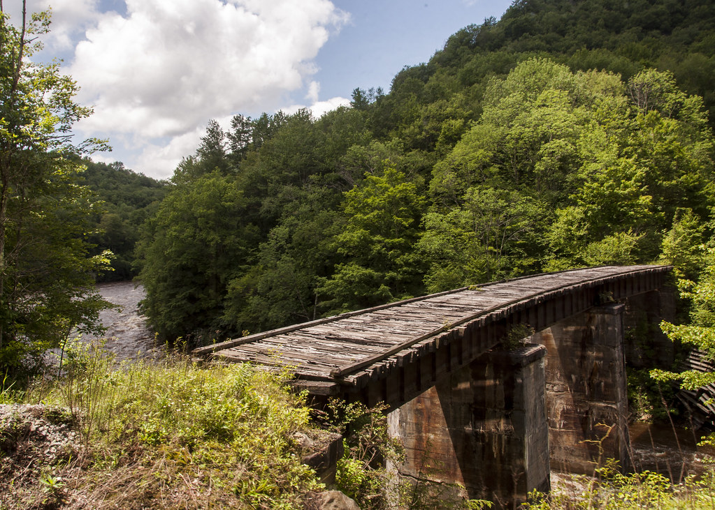
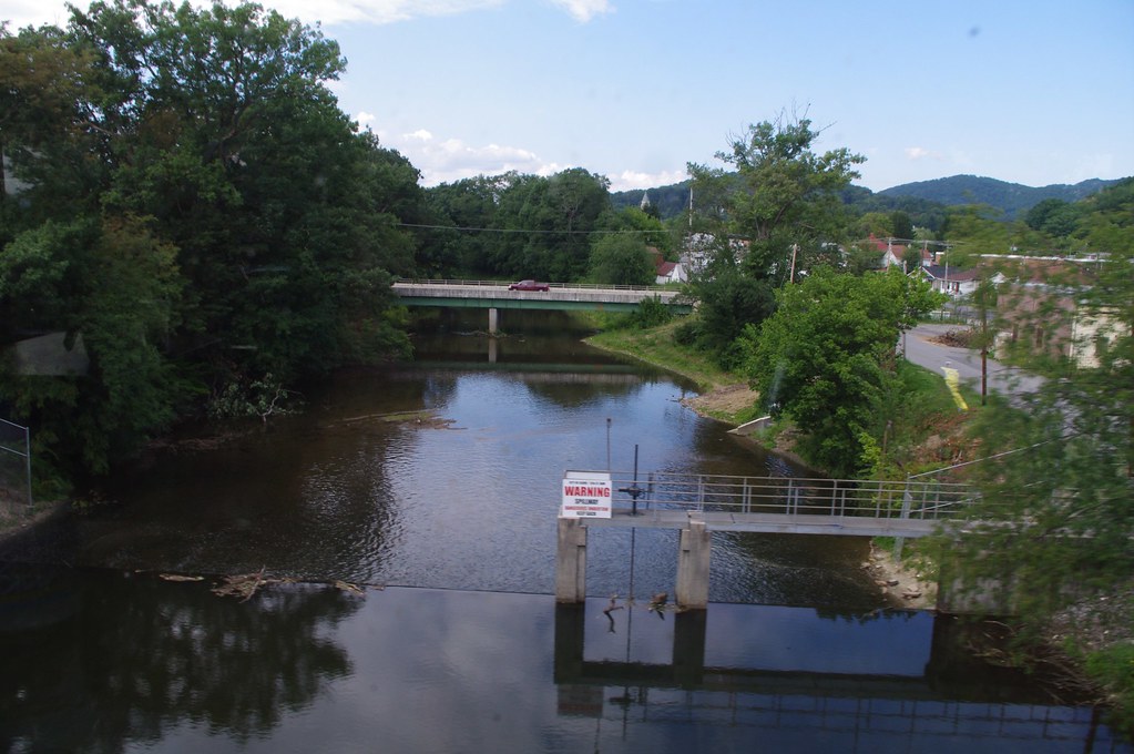
train view wm westvirginia convention historical cheatriver shaversfork westernmarylandrailway wmrhs
Shavers Fork
wv elkins elkinswv gracelandinn davisandelkins davisandelkinscollege
Graceland - Side View
landscape nikon scenic norton wv creeks d90
Roadside view
landscape nikon scenic norton wv creeks d90
Roadside View 2
railroad station geotagged westvirginia geolat3892500 geolon7985056
DSCS702346.JPG
sky sunlight mountains nature field barn rural landscape outdoors farm country meadow explore westvirginia beverly rays appalachia richmountain randolphcounty nikond90 richmountainbattlefield
Rays of Country Goodness
Driving in a winter wonderland
roof usa abandoned rain august wv westvirginia collapsed 2014 squirrelgirl barbaraamende barbaraaamende barbaraanneamende
Seven easy pieces
ranch usa cow olympus tent westvirginia veal route219 dailey us219 e620 flickrwrherndon
When Cows Go Camping
Focused in.
autumn fall water river waterfall scenic foliage westvirginia cheatriver shaversfork highfalls randolphcounty
High Falls of the Cheat
wood railroad bridge blue trees brown white green abandoned nature stone clouds train river nikon rail trains wv westvirginia rails handheld nikkor amateur cheatriver elkins 18200mm d90 scenicrailroad
Cross Me If You Dare
panorama landscape westvirginia waterfalls cheatriver canoneos60d
High Falls of the Cheat River
longexposure railroad train canon geotagged is waterfall scenic falls westvirginia geotag efs 2012 highfalls cheatmountainsalamander f3556 18135mm 60d
Cheat Mountain Salamander 05
train wm westvirginia convention historical cheatriver shaversfork highfalls westernmarylandrailway wmrhs
High Falls of Cheat
wv westvirginia elkins roberturban daviselkinscollege naturestudyarea naturerun11413
14/365
train wm westvirginia convention historical elkins tygartsvalleyriver westernmarylandrailway wmrhs
Tygarts Valley River
usa unitedstates westvirginia beverly highfalls cheatmountainsalamander westernmarylandrailway shaversforkriver durbingreenbriervalleyrailroad
High Falls
usa unitedstates westvirginia rivers mississippiriver ohioriver cheatriver shaversfork monongahelariver glady bemis monongahelanationalforest randolphcounty
Shavers Fork at Bemis, WV
usa unitedstates westvirginia beverly highfalls cheatmountainsalamander westernmarylandrailway shaversforkriver durbingreenbriervalleyrailroad
Shavers Fork below High Falls
train wm westvirginia convention historical cheatriver shaversfork highfalls westernmarylandrailway wmrhs
Shavers Fork Cheat River
usa unitedstates westvirginia beverly highfalls cheatmountainsalamander westernmarylandrailway shaversforkriver durbingreenbriervalleyrailroad
High Falls
usa unitedstates westvirginia rivers mississippiriver ohioriver cheatriver shaversfork monongahelariver glady bemis monongahelanationalforest randolphcounty
Shavers Fork at Bemis, WV
train wm westvirginia convention historical elkins wye westernmarylandrailway wmrhs elkinsjunction
Backing into Elkins