Elevation of Medford, OK, USA
Location:
United States >
Oklahoma >
| Latitude | 36.8069729 |
|---|---|
| Longitude | -97.7336636 |
| Elevation | 333m / 1093feet |
| Barometric Pressure | 974KPa |
Related Photos:
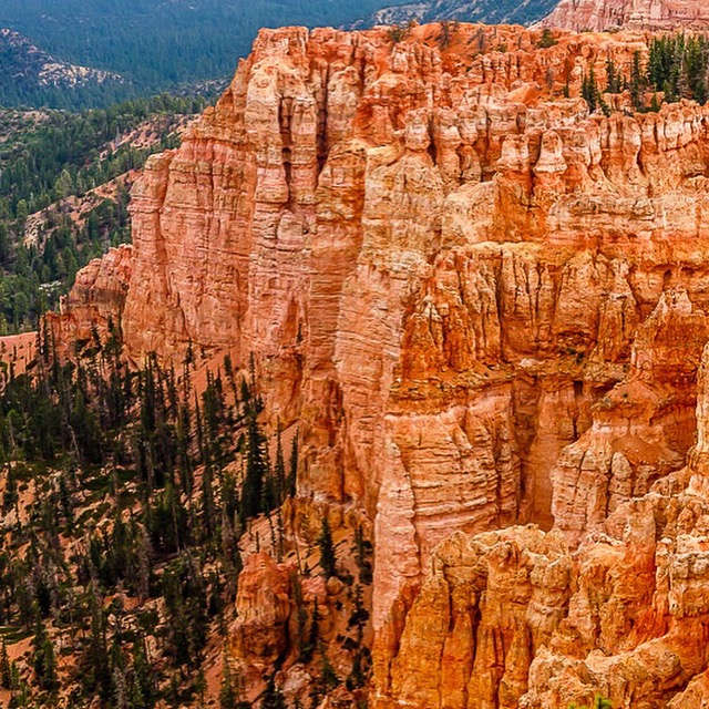
Bryce Canyon National Park
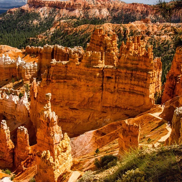
Bryce Canyon National Park
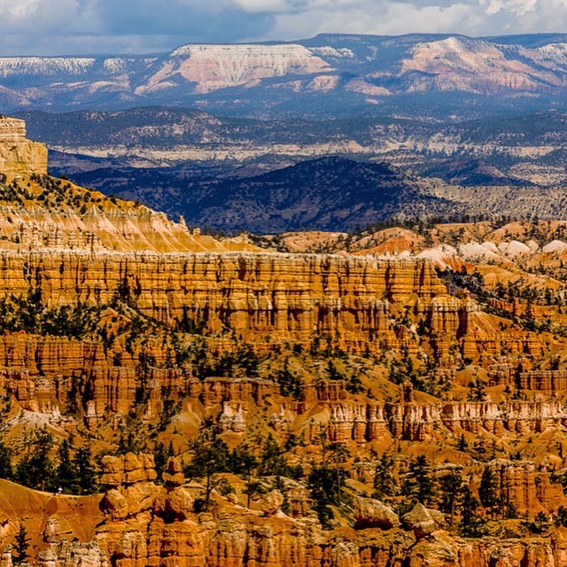
Bryce Canyon National Park
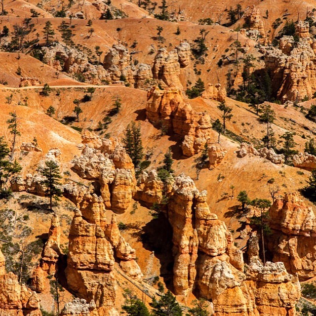
Bryce Canyon National Park

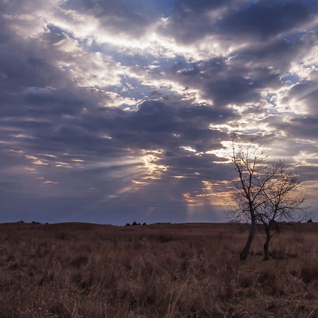
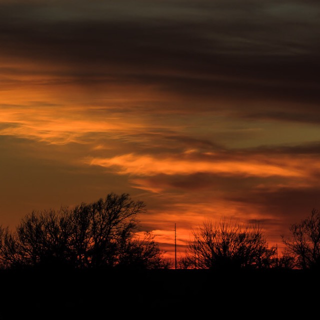
Sunrise in okie land

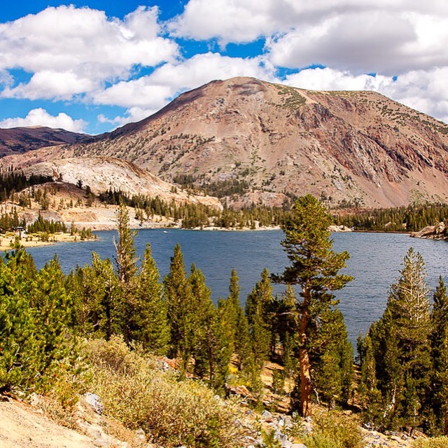
Northern California
North west California
Redwoods Northern California
After sunrise

Cloud Mountain
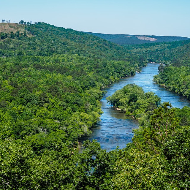
Flint River Upson County, Georgia
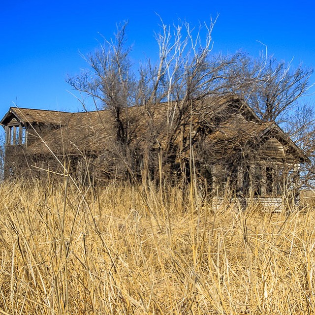
Old home
Northern California
Some okie land
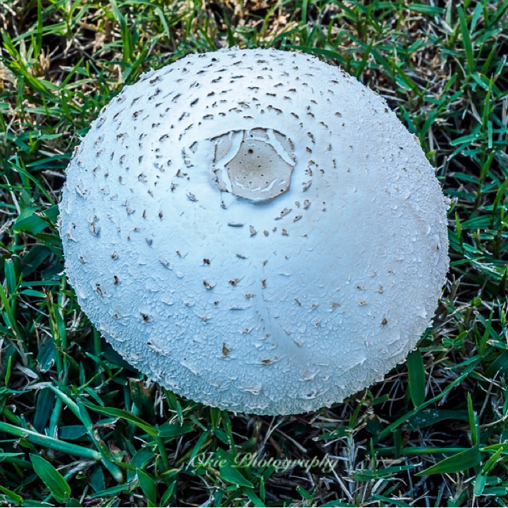
Toad stool
Northwest California coast
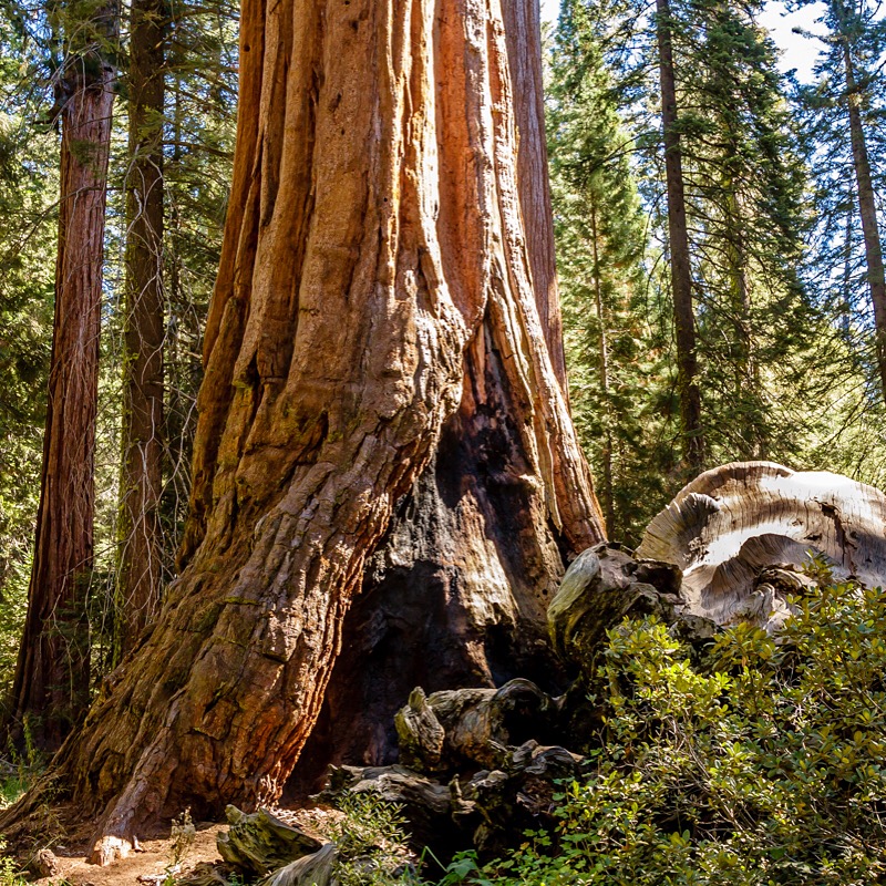
Redwood Northern California
Topographic Map of Medford, OK, USA
Find elevation by address:
Places near Medford, OK, USA:
Grant County
Wakita
Wakita Foodland
12 S Main St, Caldwell, KS, USA
Caldwell
S th St, Lamont, OK, USA
Falls
W 140th St S & S Anson Rd
Main St, Hunnewell, KS, USA
Hunnewell
South Haven
Freeport
Braman
Dixon
Sumner County
W Grand Ave, Tonkawa, OK, USA
Tonkawa
W Peckham Rd, Braman, OK, USA
US-, Blackwell, OK, USA
Blackwell
Recent Searches:
- Elevation map of Central Hungary, Hungary
- Elevation map of Pest, Central Hungary, Hungary
- Elevation of Pilisszentkereszt, Pest, Central Hungary, Hungary
- Elevation of Dharamkot Tahsil, Punjab, India
- Elevation of Bhinder Khurd, Dharamkot Tahsil, Punjab, India
- Elevation of 2881, Chabot Drive, San Bruno, San Mateo County, California, 94066, USA
- Elevation of 10370, West 107th Circle, Westminster, Jefferson County, Colorado, 80021, USA
- Elevation of 611, Roman Road, Old Ford, Bow, London, England, E3 2RW, United Kingdom
- Elevation of 116, Beartown Road, Underhill, Chittenden County, Vermont, 05489, USA
- Elevation of Window Rock, Colfax County, New Mexico, 87714, USA
- Elevation of 4807, Rosecroft Street, Kempsville Gardens, Virginia Beach, Virginia, 23464, USA
- Elevation map of Matawinie, Quebec, Canada
- Elevation of Sainte-Émélie-de-l'Énergie, Matawinie, Quebec, Canada
- Elevation of Rue du Pont, Sainte-Émélie-de-l'Énergie, Matawinie, Quebec, J0K2K0, Canada
- Elevation of 8, Rue de Bécancour, Blainville, Thérèse-De Blainville, Quebec, J7B1N2, Canada
- Elevation of Wilmot Court North, 163, University Avenue West, Northdale, Waterloo, Region of Waterloo, Ontario, N2L6B6, Canada
- Elevation map of Panamá Province, Panama
- Elevation of Balboa, Panamá Province, Panama
- Elevation of San Miguel, Balboa, Panamá Province, Panama
- Elevation of Isla Gibraleón, San Miguel, Balboa, Panamá Province, Panama