Elevation of Grant County, OK, USA
Location: United States > Oklahoma >
Longitude: -97.6982272
Latitude: 36.79093
Elevation: 328m / 1076feet
Barometric Pressure: 0KPa
Related Photos:

vacancy...(HSS)

Osage Creek -Deck View

Cloud Mountain

CRW_9165_edited-1

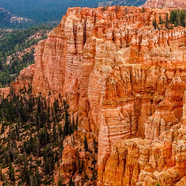
Bryce Canyon National Park
Bryce Canyon National Park

After sunrise

Bryce Canyon National Park

Bryce Canyon National Park

Northwest California coast

Bryce Canyon National Park

Redwoods Northern California

Northern California

Redwood Northern California

Flint River Upson County, Georgia

North west California

Northern California

Bryce Canyon National Park

Bryce Canyon National Park

Some okie land

Old home

Toad stool
Topographic Map of Grant County, OK, USA
Find elevation by address:

Places in Grant County, OK, USA:
Places near Grant County, OK, USA:
Medford
Wakita
Wakita Foodland
S th St, Lamont, OK, USA
12 S Main St, Caldwell, KS, USA
Caldwell
Falls
W 140th St S & S Anson Rd
Main St, Hunnewell, KS, USA
Hunnewell
South Haven
Braman
W Grand Ave, Tonkawa, OK, USA
Tonkawa
W Peckham Rd, Braman, OK, USA
US-, Blackwell, OK, USA
Blackwell
Freeport
Sumner County
Dixon
Recent Searches:
- Elevation of 116, Beartown Road, Underhill, Chittenden County, Vermont, 05489, USA
- Elevation of Window Rock, Colfax County, New Mexico, 87714, USA
- Elevation of 4807, Rosecroft Street, Kempsville Gardens, Virginia Beach, Virginia, 23464, USA
- Elevation map of Matawinie, Quebec, Canada
- Elevation of Sainte-Émélie-de-l'Énergie, Matawinie, Quebec, Canada
- Elevation of Rue du Pont, Sainte-Émélie-de-l'Énergie, Matawinie, Quebec, J0K2K0, Canada
- Elevation of 8, Rue de Bécancour, Blainville, Thérèse-De Blainville, Quebec, J7B1N2, Canada
- Elevation of Wilmot Court North, 163, University Avenue West, Northdale, Waterloo, Region of Waterloo, Ontario, N2L6B6, Canada
- Elevation map of Panamá Province, Panama
- Elevation of Balboa, Panamá Province, Panama
- Elevation of San Miguel, Balboa, Panamá Province, Panama
- Elevation of Isla Gibraleón, San Miguel, Balboa, Panamá Province, Panama
- Elevation of 4655, Krischke Road, Schulenburg, Fayette County, Texas, 78956, USA
- Elevation of Carnegie Avenue, Downtown Cleveland, Cleveland, Cuyahoga County, Ohio, 44115, USA
- Elevation of Walhonding, Coshocton County, Ohio, USA
- Elevation of Clifton Down, Clifton, Bristol, City of Bristol, England, BS8 3HU, United Kingdom
- Elevation map of Auvergne-Rhône-Alpes, France
- Elevation map of Upper Savoy, Auvergne-Rhône-Alpes, France
- Elevation of Chamonix-Mont-Blanc, Upper Savoy, Auvergne-Rhône-Alpes, France
- Elevation of 908, Northwood Drive, Bridge Field, Chesapeake, Virginia, 23322, USA