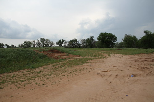
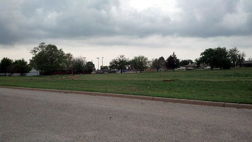
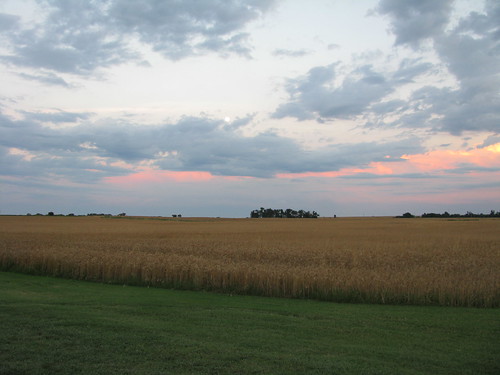
Elevation of Freeport, KS, USA
Location: United States > Kansas >
Longitude: -97.857000
Latitude: 37.1986325
Elevation: -10000m / -32808feet
Barometric Pressure: 295KPa
Related Photos:
Topographic Map of Freeport, KS, USA
Find elevation by address:

Places near Freeport, KS, USA:
N Main St, Argonia, KS, USA
Argonia
Dixon
Bennett
Sumner County
Norwich
2nd Ave E, Norwich, KS, USA
100 Ks-49
814 N Conway Springs Rd
Caldwell
12 S Main St, Caldwell, KS, USA
Osborne
W Garfield Ave, Mayfield, KS, USA
Mayfield
Wakita
Wakita Foodland
Falls
Sumner
W 140th St S & S Anson Rd
N Pacific Rd, Wellington, KS, USA
Recent Searches:
- Elevation of Corso Fratelli Cairoli, 35, Macerata MC, Italy
- Elevation of Tallevast Rd, Sarasota, FL, USA
- Elevation of 4th St E, Sonoma, CA, USA
- Elevation of Black Hollow Rd, Pennsdale, PA, USA
- Elevation of Oakland Ave, Williamsport, PA, USA
- Elevation of Pedrógão Grande, Portugal
- Elevation of Klee Dr, Martinsburg, WV, USA
- Elevation of Via Roma, Pieranica CR, Italy
- Elevation of Tavkvetili Mountain, Georgia
- Elevation of Hartfords Bluff Cir, Mt Pleasant, SC, USA


