Elevation of Osborne, KS, USA
Longitude: -97.546388
Latitude: 37.2490624
Elevation: 386m / 1266feet
Barometric Pressure: 97KPa
Elevation Map:
Satellite Map:
Related Photos:
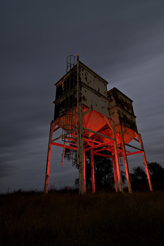
![light red urban abandoned ex night canon dark painting town exploring ks ghost country towers twin silo explore kansas silos exploration gel ue corbin urbex 580 speedlite 50d strobist](https://farm4.staticflickr.com/3514/3990491414_f1e0f00e4b.jpg)
Twin Towers
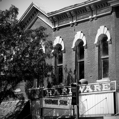
![bw sign blackwhite hardware store mainstreet bn signage wellington kansas bianconero blanconegro](https://farm9.staticflickr.com/8145/7633521708_a8b9f9fe68.jpg)
Hometown View #15
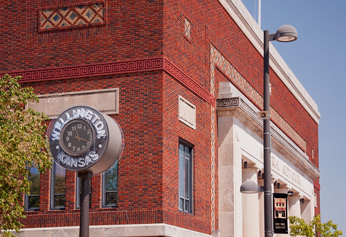
![clock architecture wellington kansas memorialauditorium](https://farm8.staticflickr.com/7274/7610600460_a971e92620.jpg)
Hometown Views #3
![bw detail architecture blackwhite bn stairway wellington kansas artdeco bianconero handrails blanconegro](https://farm8.staticflickr.com/7263/7633528004_578e25f272.jpg)
Hometown View #13
![wellington kansas](https://farm9.staticflickr.com/8163/7626217988_9cfa210786.jpg)
Hometown View #11
![wellington kansas](https://farm9.staticflickr.com/8148/7610602746_24841b1159.jpg)
Hometown Views #4
![ex night canon photography ks tokina kansas 1224 corbin 580 50d strobist](https://farm3.staticflickr.com/2482/3982865078_aa5d585aaf.jpg)
Restore Me
![architecturaldetail wellington kansas](https://farm9.staticflickr.com/8166/7633524470_f65d80ff0e.jpg)
Hometown View #14
![texture wellington kansas layer architecturalelements victorianbuildings pse10](https://farm9.staticflickr.com/8425/7610611174_8a6c059aba.jpg)
Hometown View #8
![architecture wellington kansas artdeco courthouse crepemyrtle](https://farm9.staticflickr.com/8290/7633513308_f1491d6fb9.jpg)
Hometown View #17
![wellington kansas signsignage](https://farm9.staticflickr.com/8150/7626208146_38a25d9202.jpg)
Hometown View #9
![color alley downtown wellington kansas](https://farm5.staticflickr.com/4069/4423729169_9ccd57a37d.jpg)
Alley-Color
![baseball stadium wellington kansas ballpark grandstand](https://farm8.staticflickr.com/7112/7633519002_7a05472706.jpg)
Hometown View #18
![wellington kansas](https://farm9.staticflickr.com/8288/7626209574_52cbe32688.jpg)
Hometown View #12
![wellington kansas](https://farm8.staticflickr.com/7124/7610607194_731faf5b50.jpg)
Hometown Views #7
![wellington kansas](https://farm8.staticflickr.com/7251/7610597012_f23f2f570d.jpg)
Hometown Views #2
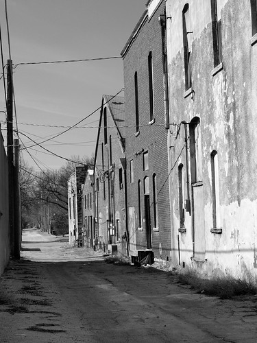
![blackwhite alley downtown wellington kansas](https://farm5.staticflickr.com/4070/4407689782_7623165d0c.jpg)
Alley-B&W
![wellington kansas](https://farm9.staticflickr.com/8286/7610593492_941d73ff29.jpg)
Hometown Views #1
![wellington kansas](https://farm9.staticflickr.com/8147/7610603744_bfcda08eb6.jpg)
Hometown Views #5
![wellington kansas](https://farm9.staticflickr.com/8289/7610606522_41a3eba417.jpg)
Hometown Views #6
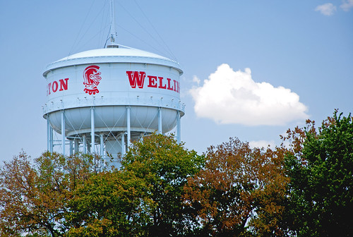
![watertower wellington kansas crusader](https://farm9.staticflickr.com/8013/7633516706_5bcfae0629.jpg)
Hometown View #16
![sunset field landscapes kansas](https://farm9.staticflickr.com/8054/8378128813_6c9d299e66.jpg)
Kansas Sun Set
![](https://farm4.staticflickr.com/3092/3089933759_5d6340d540.jpg)
Donut pond falls
![](https://farm8.staticflickr.com/7397/8947254321_f65581c130.jpg)
Groen Kansas
Topographic Map of Osborne, KS, USA
Find elevation by address:
Places in Osborne, KS, USA:
Places near Osborne, KS, USA:
Mayfield
W Garfield Ave, Mayfield, KS, USA
Sumner County
Sumner
N Pacific Rd, Wellington, KS, USA
1408 N Olive St
100 Ks-49
124 W Harvey Ave
1906 N B St
Wellington, KS, USA
814 N Conway Springs Rd
W 140th St S & S Anson Rd
Falls
Dixon
Wellington
Wellington Koa Holiday
N Main St, Argonia, KS, USA
Argonia
634 N Seneca Rd
Caldwell
Recent Searches:
- Elevation of Corso Fratelli Cairoli, 35, Macerata MC, Italy
- Elevation of Tallevast Rd, Sarasota, FL, USA
- Elevation of 4th St E, Sonoma, CA, USA
- Elevation of Black Hollow Rd, Pennsdale, PA, USA
- Elevation of Oakland Ave, Williamsport, PA, USA
- Elevation of Pedrógão Grande, Portugal
- Elevation of Klee Dr, Martinsburg, WV, USA
- Elevation of Via Roma, Pieranica CR, Italy
- Elevation of Tavkvetili Mountain, Georgia
- Elevation of Hartfords Bluff Cir, Mt Pleasant, SC, USA