Elevation of Falls, KS, USA
Location: United States > Kansas > Sumner County >
Longitude: -97.5463885
Latitude: 37.0785738
Elevation: 338m / 1109feet
Barometric Pressure: 0KPa
Related Photos:
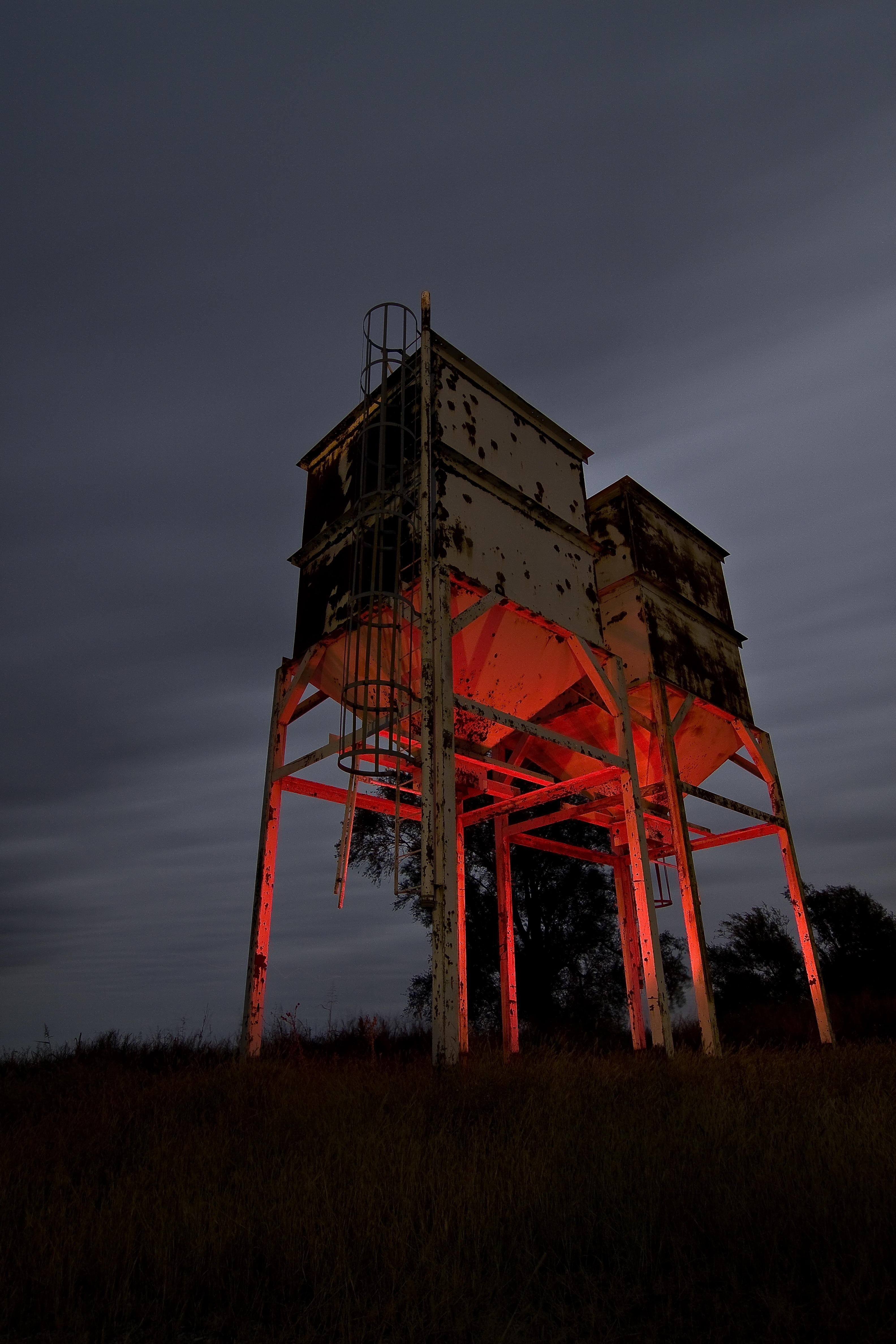
Twin Towers

Restore Me

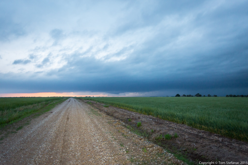
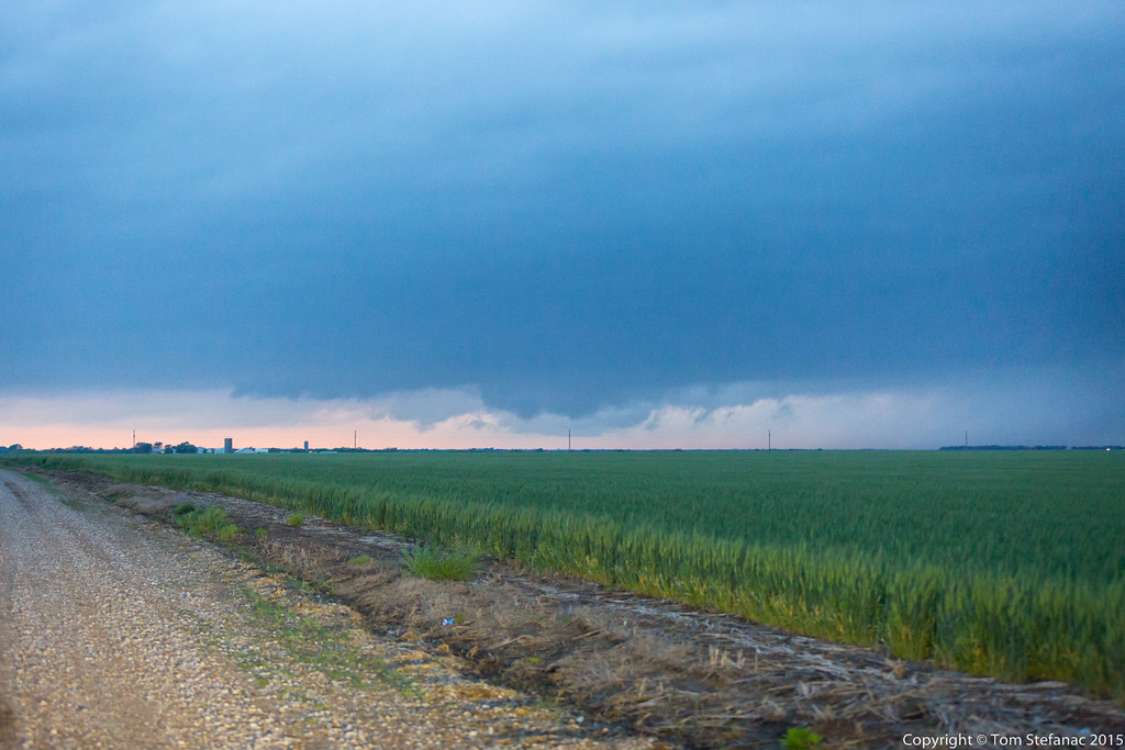
Sunset After the Storm
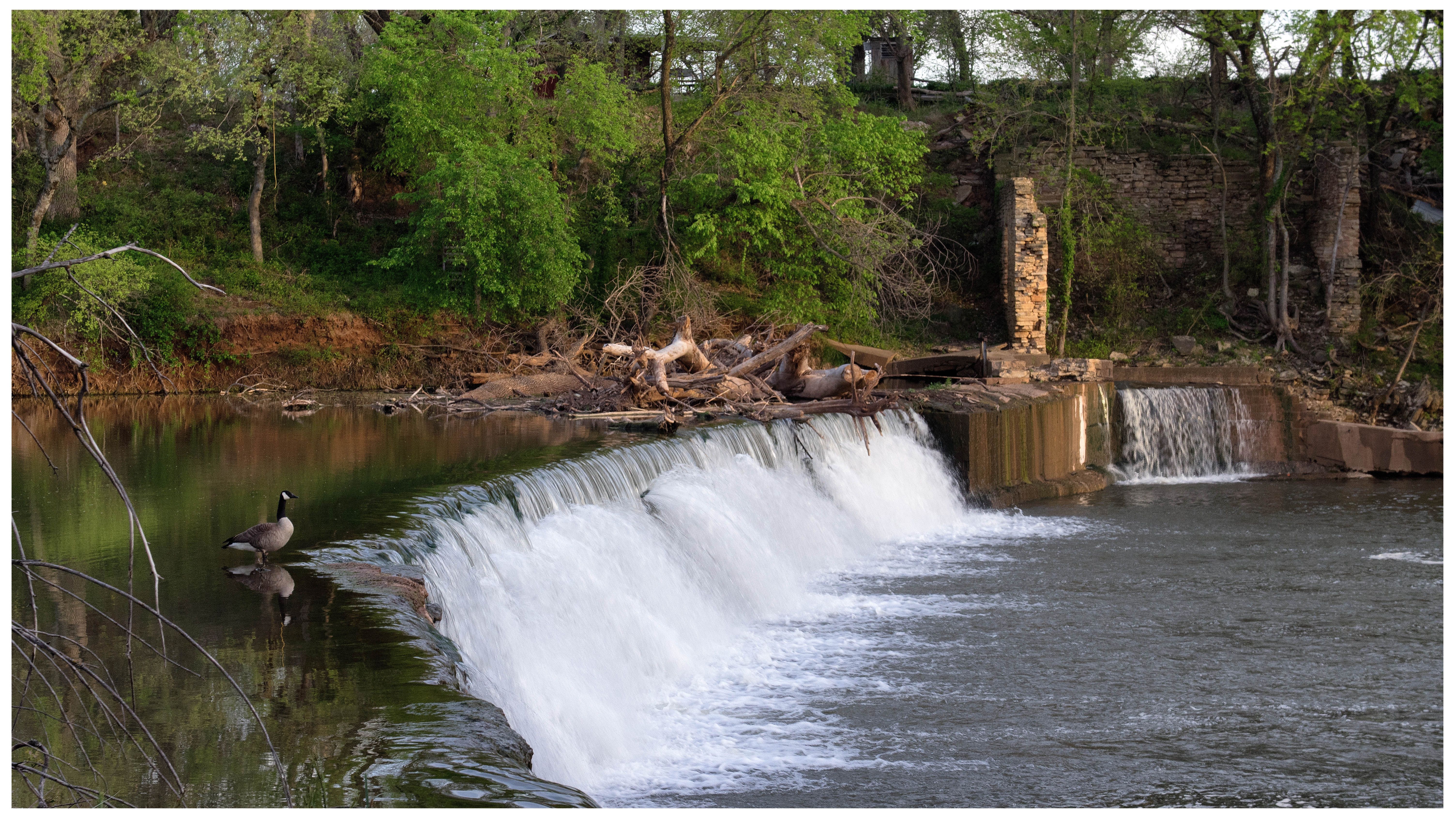
Drury Falls
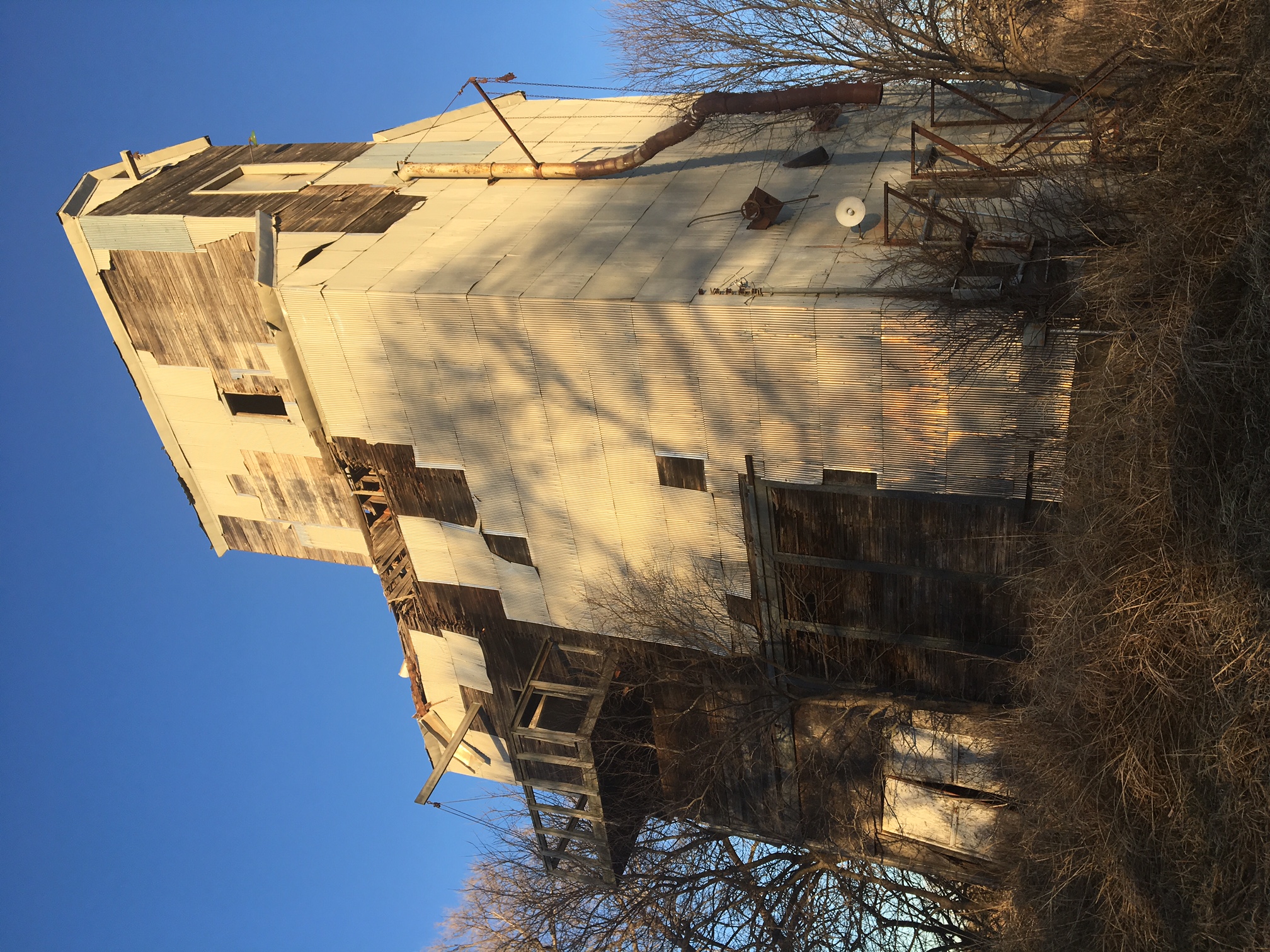
12-28-16 - Old tin elevator in Drury

Kansas Sun Set
20150506-_E1A0777.jpg
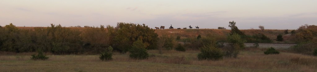
Ghost Riders of the Chisholm Trail (Caldwell, Kansas)
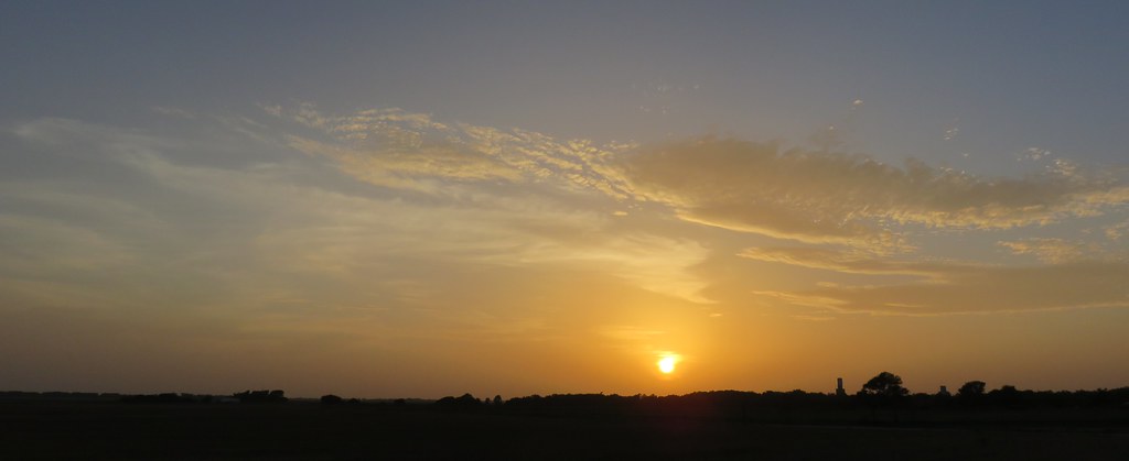
Northern Oklahoma Sunset (Kay County, Oklahoma)
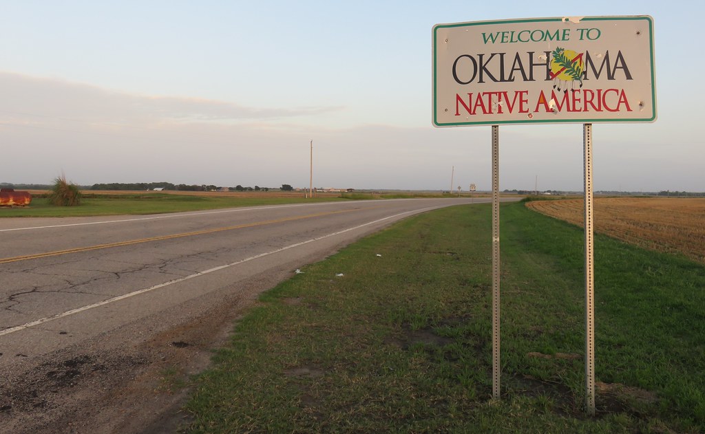
Entering Oklahoma (Kay County, Oklahoma)
20150506-_E1A0783.jpg
Topographic Map of Falls, KS, USA
Find elevation by address:

Places in Falls, KS, USA:
Places near Falls, KS, USA:
W 140th St S & S Anson Rd
12 S Main St, Caldwell, KS, USA
Caldwell
South Haven
Main St, Hunnewell, KS, USA
Sumner County
Hunnewell
Osborne
Mayfield
W Garfield Ave, Mayfield, KS, USA
Dixon
Greene
124 W Harvey Ave
1408 N Olive St
Wellington, KS, USA
1906 N B St
Sumner
Wellington
Braman
Wellington Koa Holiday
Recent Searches:
- Elevation of 4655, Krischke Road, Schulenburg, Fayette County, Texas, 78956, USA
- Elevation of Carnegie Avenue, Downtown Cleveland, Cleveland, Cuyahoga County, Ohio, 44115, USA
- Elevation of Walhonding, Coshocton County, Ohio, USA
- Elevation of Clifton Down, Clifton, Bristol, City of Bristol, England, BS8 3HU, United Kingdom
- Elevation map of Auvergne-Rhône-Alpes, France
- Elevation map of Upper Savoy, Auvergne-Rhône-Alpes, France
- Elevation of Chamonix-Mont-Blanc, Upper Savoy, Auvergne-Rhône-Alpes, France
- Elevation of 908, Northwood Drive, Bridge Field, Chesapeake, Virginia, 23322, USA
- Elevation map of Nagano Prefecture, Japan
- Elevation of 587, Bascule Drive, Oakdale, Stanislaus County, California, 95361, USA
- Elevation of Stadion Wankdorf, Sempachstrasse, Breitfeld, Bern, Bern-Mittelland administrative district, Bern, 3014, Switzerland
- Elevation of Z024, 76, Emil-von-Behring-Straße, Marbach, Marburg, Landkreis Marburg-Biedenkopf, Hesse, 35041, Germany
- Elevation of Gaskill Road, Hunts Cross, Liverpool, England, L24 9PH, United Kingdom
- Elevation of Speke, Liverpool, England, L24 9HD, United Kingdom
- Elevation of Seqirus, 475, Green Oaks Parkway, Holly Springs, Wake County, North Carolina, 27540, USA
- Elevation of Pasing, Munich, Bavaria, 81241, Germany
- Elevation of 24, Auburn Bay Crescent SE, Auburn Bay, Calgary, Alberta, T3M 0A6, Canada
- Elevation of Denver, 2314, Arapahoe Street, Five Points, Denver, Colorado, 80205, USA
- Elevation of Community of the Beatitudes, 2924, West 43rd Avenue, Sunnyside, Denver, Colorado, 80211, USA
- Elevation map of Litang County, Sichuan, China