Elevation of W th St S & S Anson Rd, Caldwell, KS, USA
Location: United States > Kansas > Sumner County > Falls >
Longitude: -97.528670
Latitude: 37.0829229
Elevation: 338m / 1109feet
Barometric Pressure: 97KPa
Elevation Map:
Satellite Map:
Related Photos:
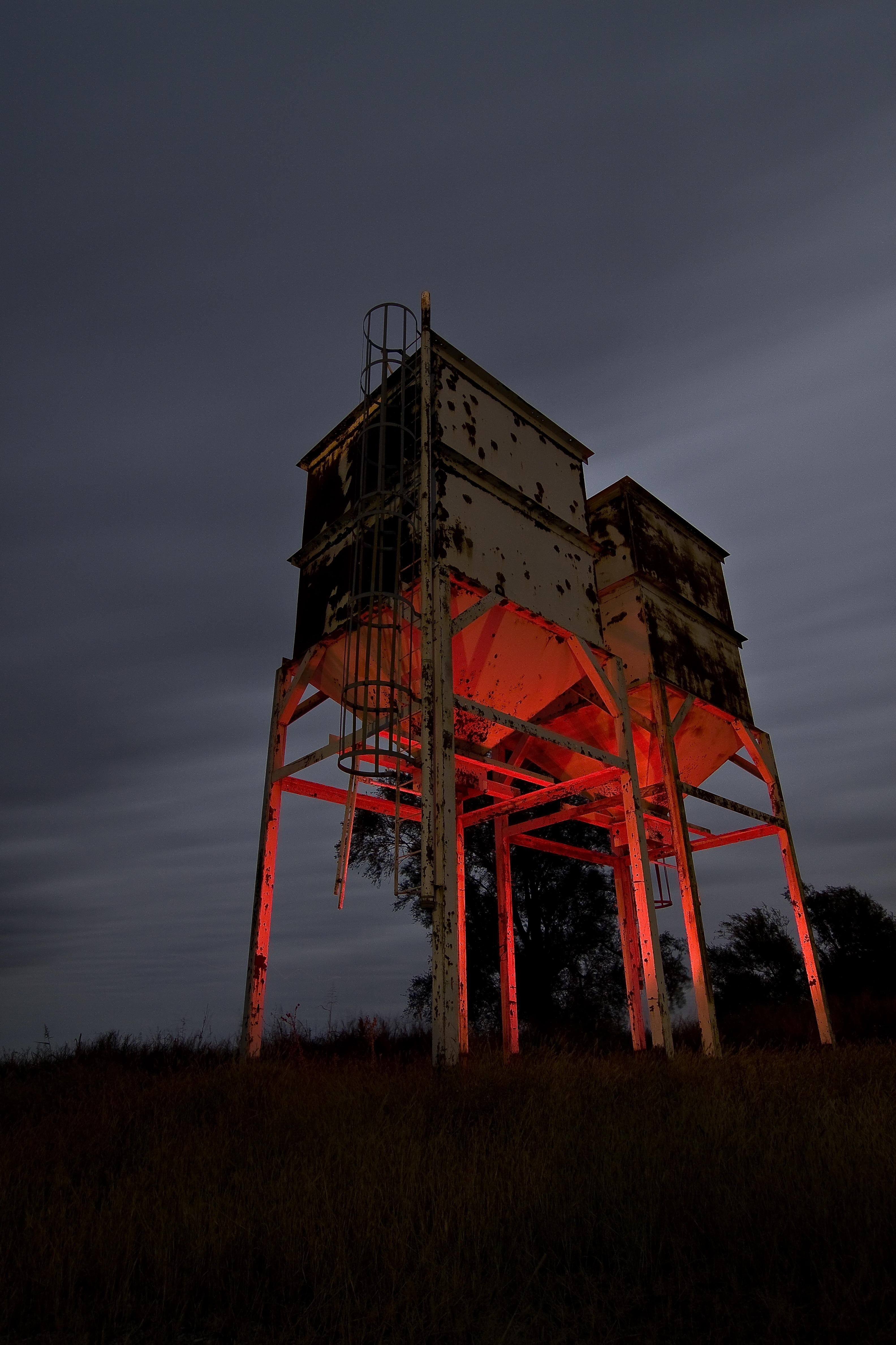
Twin Towers

Restore Me

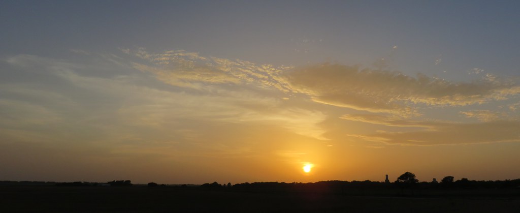
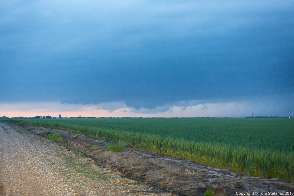
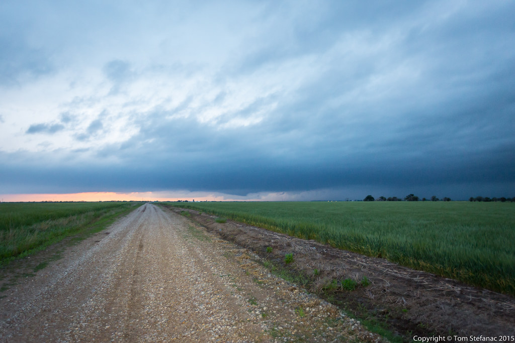
Sunset After the Storm
Northern Oklahoma Sunset (Kay County, Oklahoma)
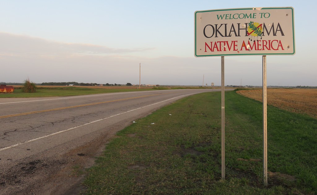
Entering Oklahoma (Kay County, Oklahoma)
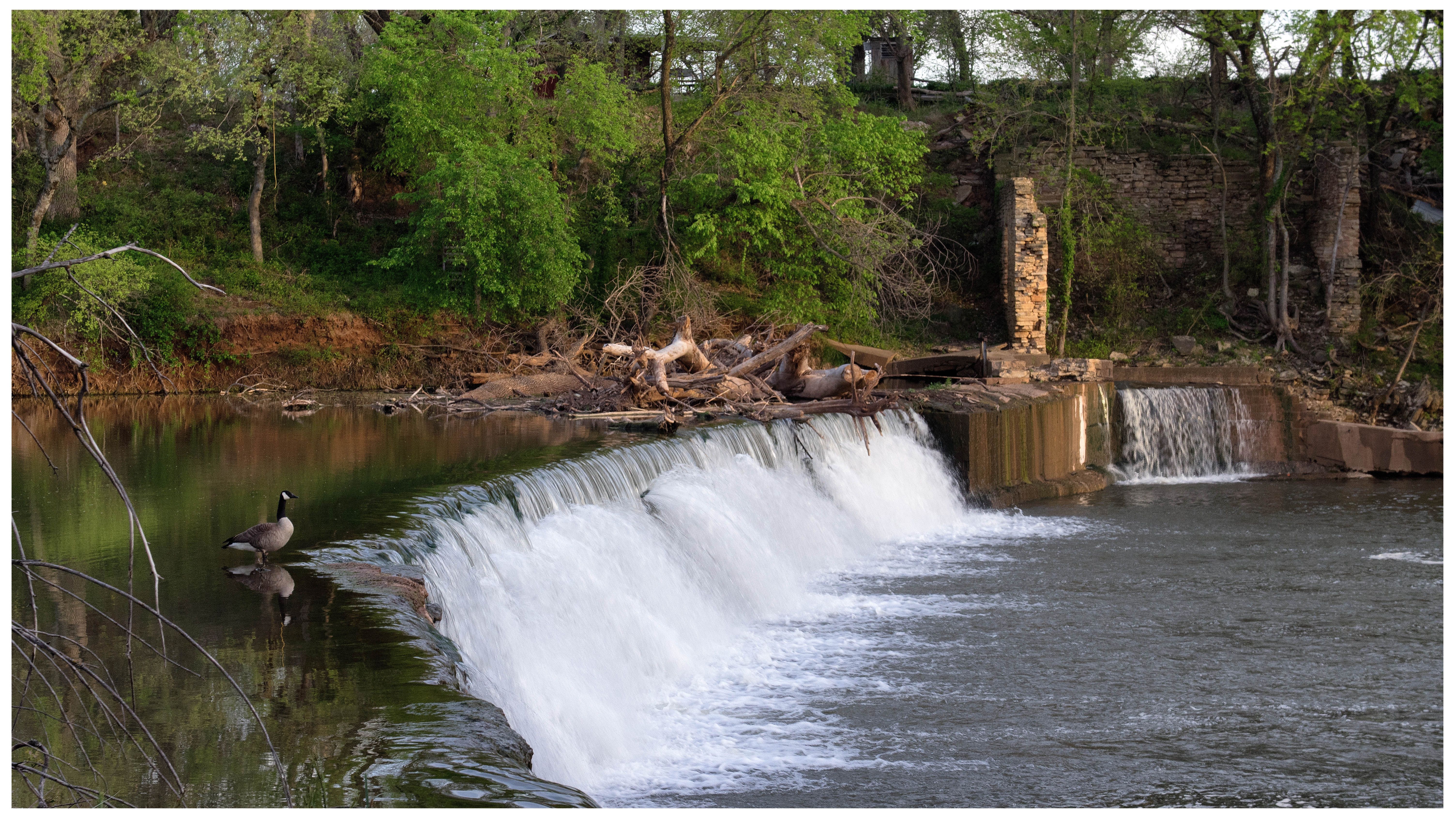
Drury Falls

Kansas Sun Set
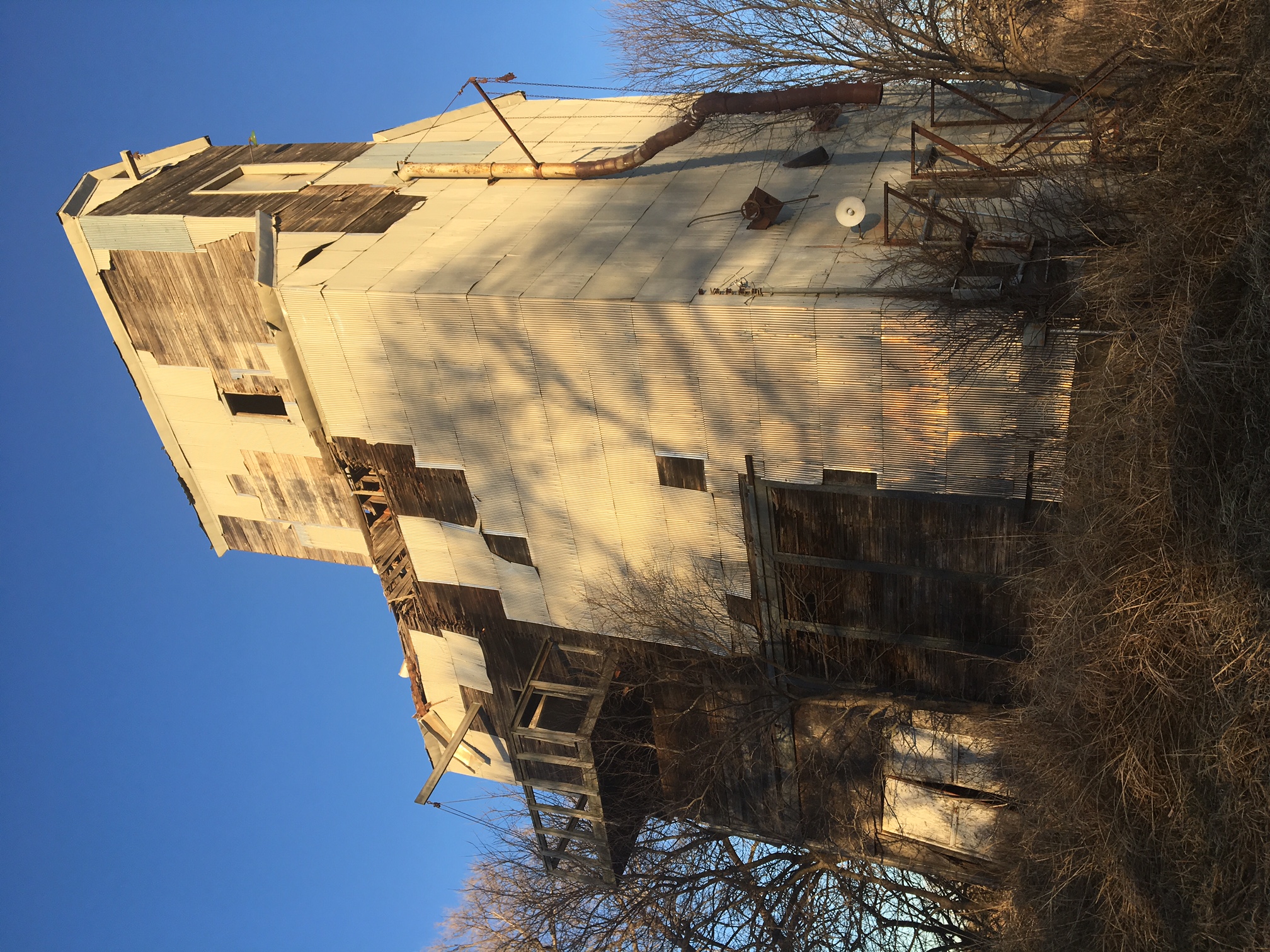
12-28-16 - Old tin elevator in Drury
20150506-_E1A0783.jpg
20150506-_E1A0777.jpg
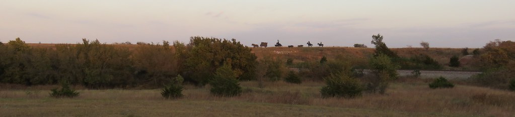
Ghost Riders of the Chisholm Trail (Caldwell, Kansas)
Topographic Map of W th St S & S Anson Rd, Caldwell, KS, USA
Find elevation by address:

Places near W th St S & S Anson Rd, Caldwell, KS, USA:
Falls
12 S Main St, Caldwell, KS, USA
Caldwell
South Haven
Main St, Hunnewell, KS, USA
Hunnewell
Sumner County
Osborne
Mayfield
W Garfield Ave, Mayfield, KS, USA
Greene
124 W Harvey Ave
1408 N Olive St
Wellington, KS, USA
Wellington
1906 N B St
Dixon
Wellington Koa Holiday
Braman
Sumner
Recent Searches:
- Elevation of Corso Fratelli Cairoli, 35, Macerata MC, Italy
- Elevation of Tallevast Rd, Sarasota, FL, USA
- Elevation of 4th St E, Sonoma, CA, USA
- Elevation of Black Hollow Rd, Pennsdale, PA, USA
- Elevation of Oakland Ave, Williamsport, PA, USA
- Elevation of Pedrógão Grande, Portugal
- Elevation of Klee Dr, Martinsburg, WV, USA
- Elevation of Via Roma, Pieranica CR, Italy
- Elevation of Tavkvetili Mountain, Georgia
- Elevation of Hartfords Bluff Cir, Mt Pleasant, SC, USA