Elevation of Sumner, KS, USA
Location: United States > Kansas > Sumner County >
Longitude: -97.546388
Latitude: 37.3341556
Elevation: 390m / 1280feet
Barometric Pressure: 97KPa
Elevation Map:
Satellite Map:
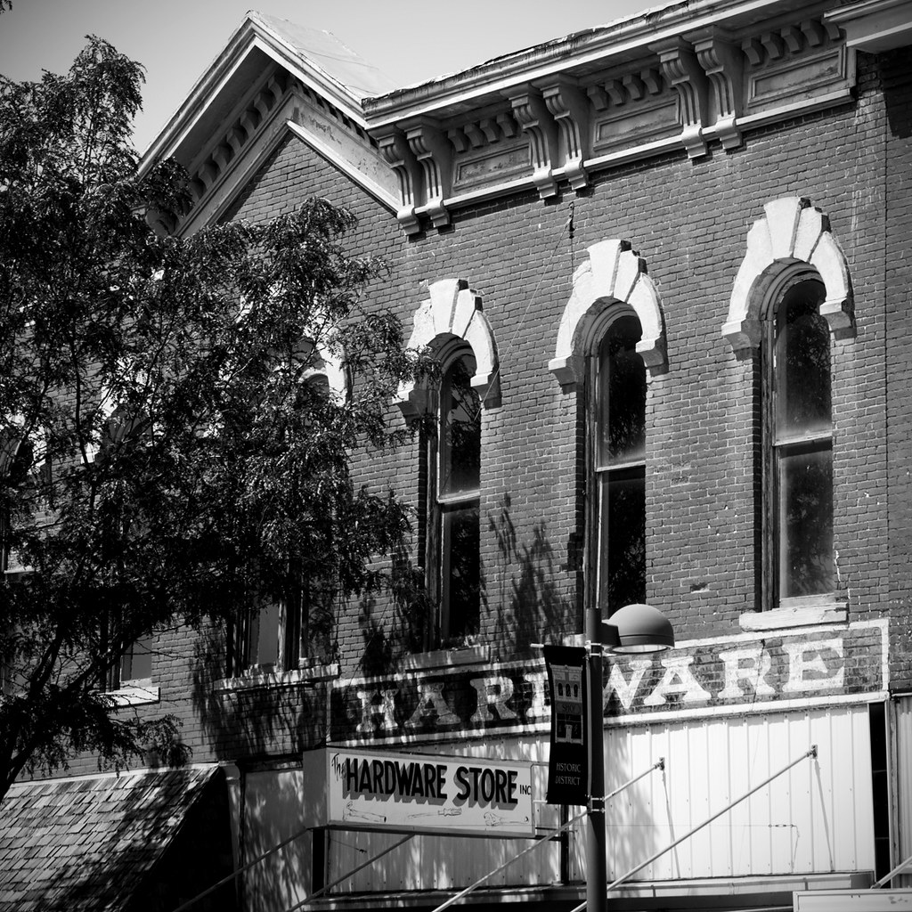
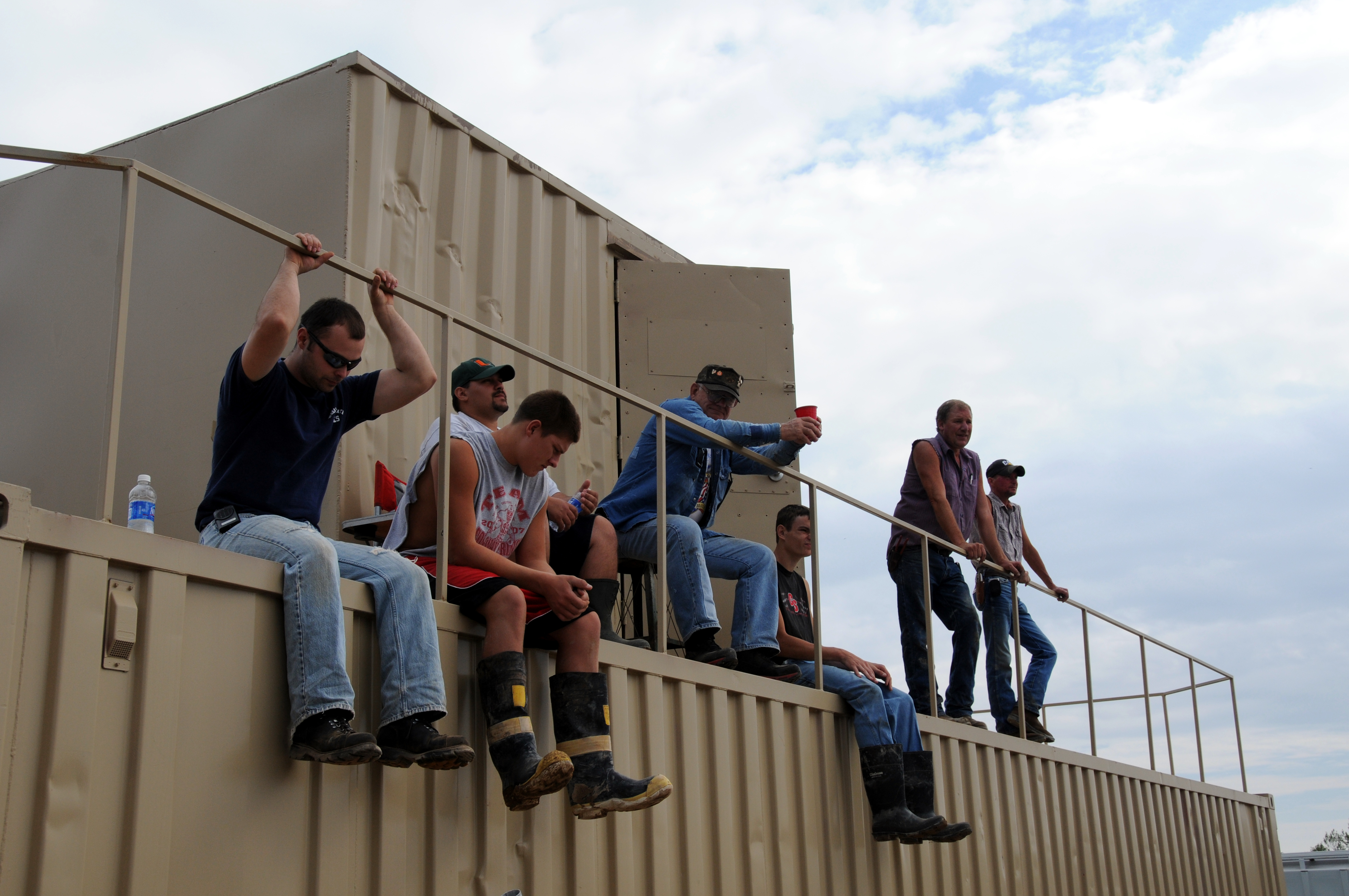
Related Photos:

Hometown View #15
Hometown Views #3

Hometown View #13

Hometown View #11

Hometown Views #4
Hometown View #14

Hometown View #8

Hometown View #17

Hometown View #9

Alley-Color
Hometown View #18

Hometown View #12

Hometown Views #7
Hometown Views #2
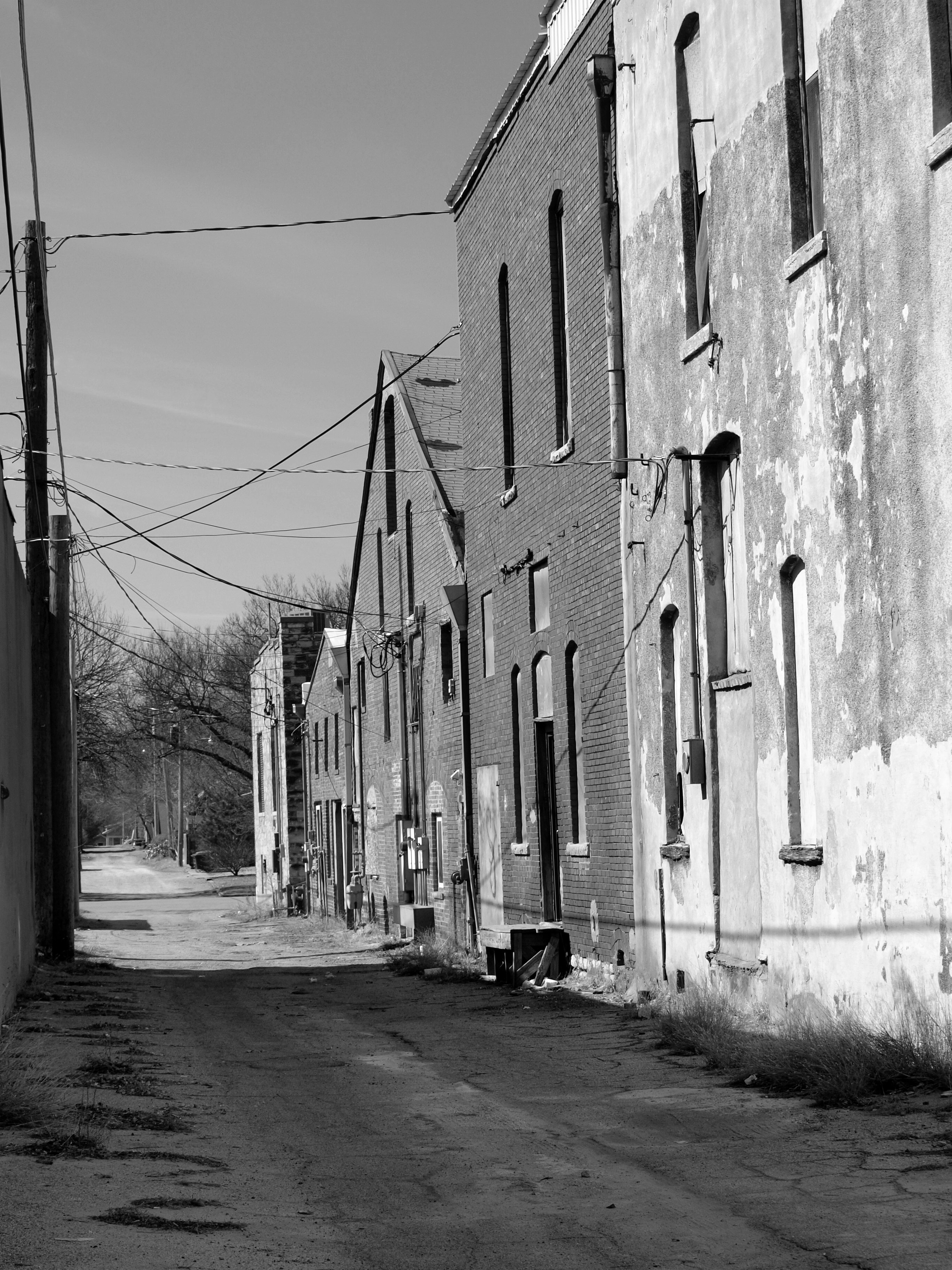
Alley-B&W
Hometown Views #1
Hometown Views #5

Hometown Views #6

Hometown View #16
New Building_09 19 09_3419_edited-1

Hometown View #10
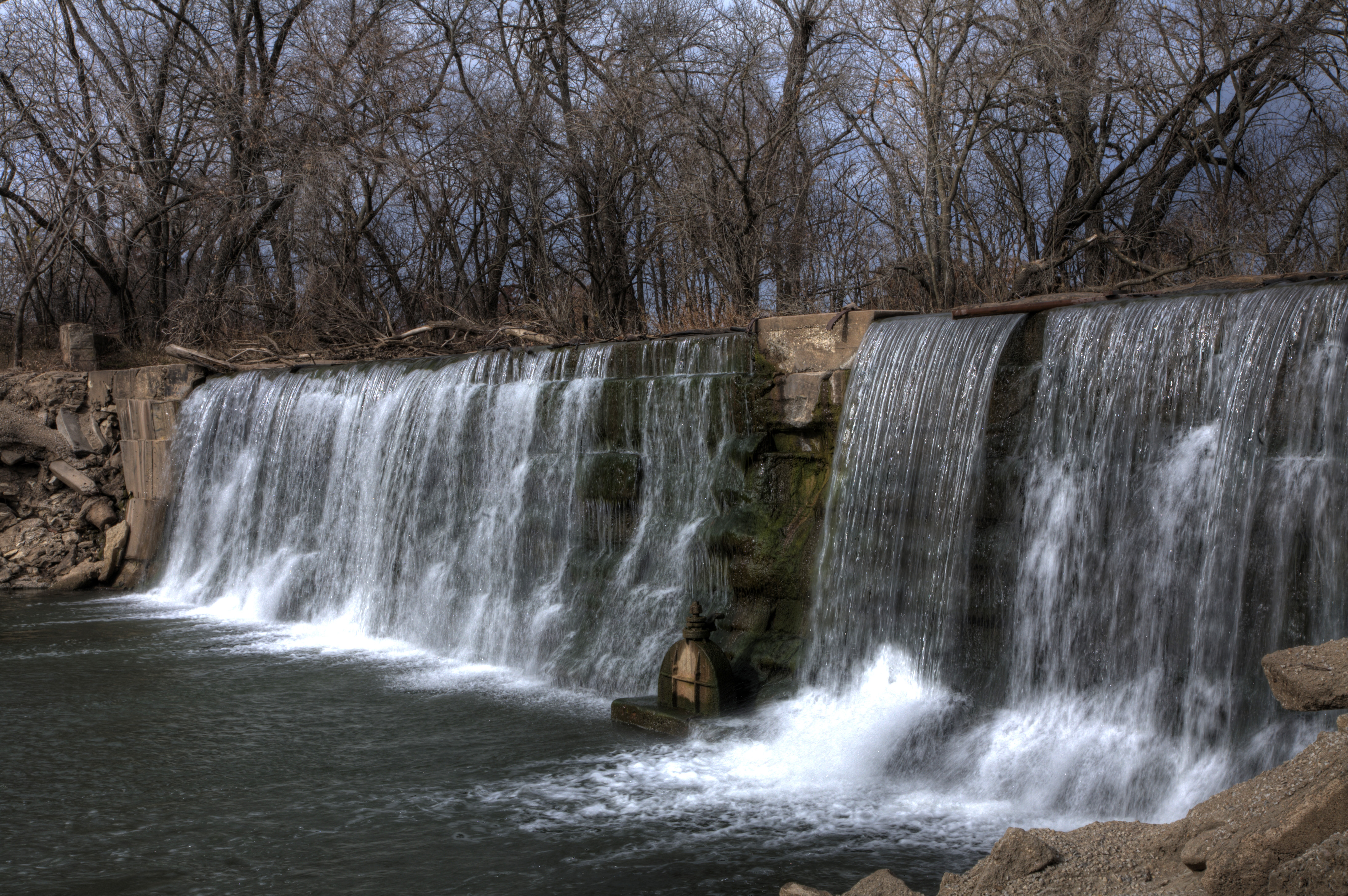
Donut pond falls
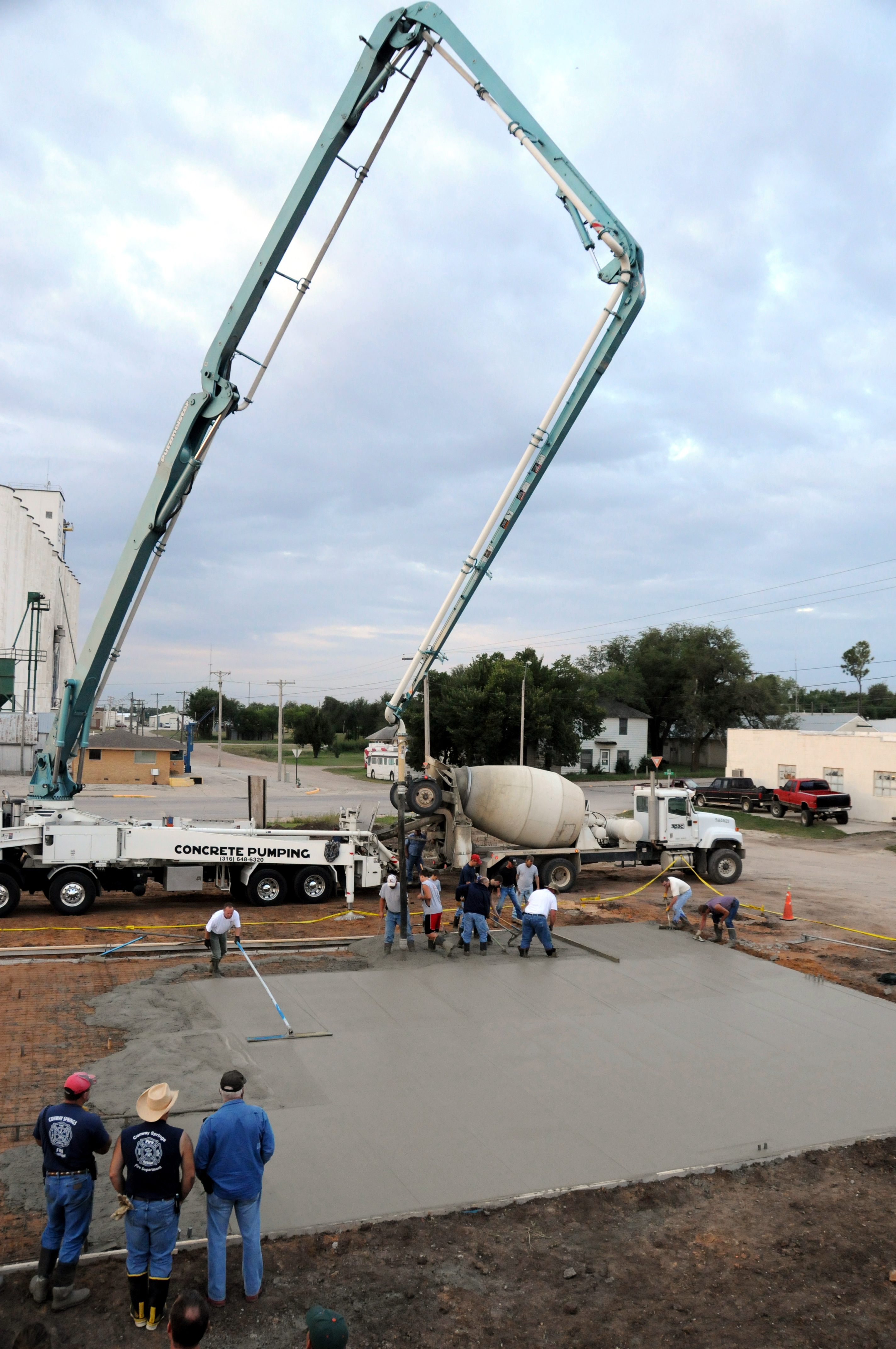
New Building_09 19 09_3287_edited-1
Topographic Map of Sumner, KS, USA
Find elevation by address:

Places in Sumner, KS, USA:
Places near Sumner, KS, USA:
N Pacific Rd, Wellington, KS, USA
W Garfield Ave, Mayfield, KS, USA
Mayfield
Osborne
100 Ks-49
814 N Conway Springs Rd
Sumner County
1408 N Olive St
1906 N B St
Wellington, KS, USA
10902 S 175th St W
10800 S 175th St W
124 W Harvey Ave
Ninnescah
Clearwater
Wellington
Wellington Koa Holiday
Dixon
634 N Seneca Rd
Ohio
Recent Searches:
- Elevation of Corso Fratelli Cairoli, 35, Macerata MC, Italy
- Elevation of Tallevast Rd, Sarasota, FL, USA
- Elevation of 4th St E, Sonoma, CA, USA
- Elevation of Black Hollow Rd, Pennsdale, PA, USA
- Elevation of Oakland Ave, Williamsport, PA, USA
- Elevation of Pedrógão Grande, Portugal
- Elevation of Klee Dr, Martinsburg, WV, USA
- Elevation of Via Roma, Pieranica CR, Italy
- Elevation of Tavkvetili Mountain, Georgia
- Elevation of Hartfords Bluff Cir, Mt Pleasant, SC, USA