Elevation of N Conway Springs Rd, Conway Springs, KS, USA
Location: United States > Kansas > Sumner County >
Longitude: -97.639027
Latitude: 37.3754378
Elevation: 409m / 1342feet
Barometric Pressure: 97KPa
Elevation Map:
Satellite Map:
Related Photos:
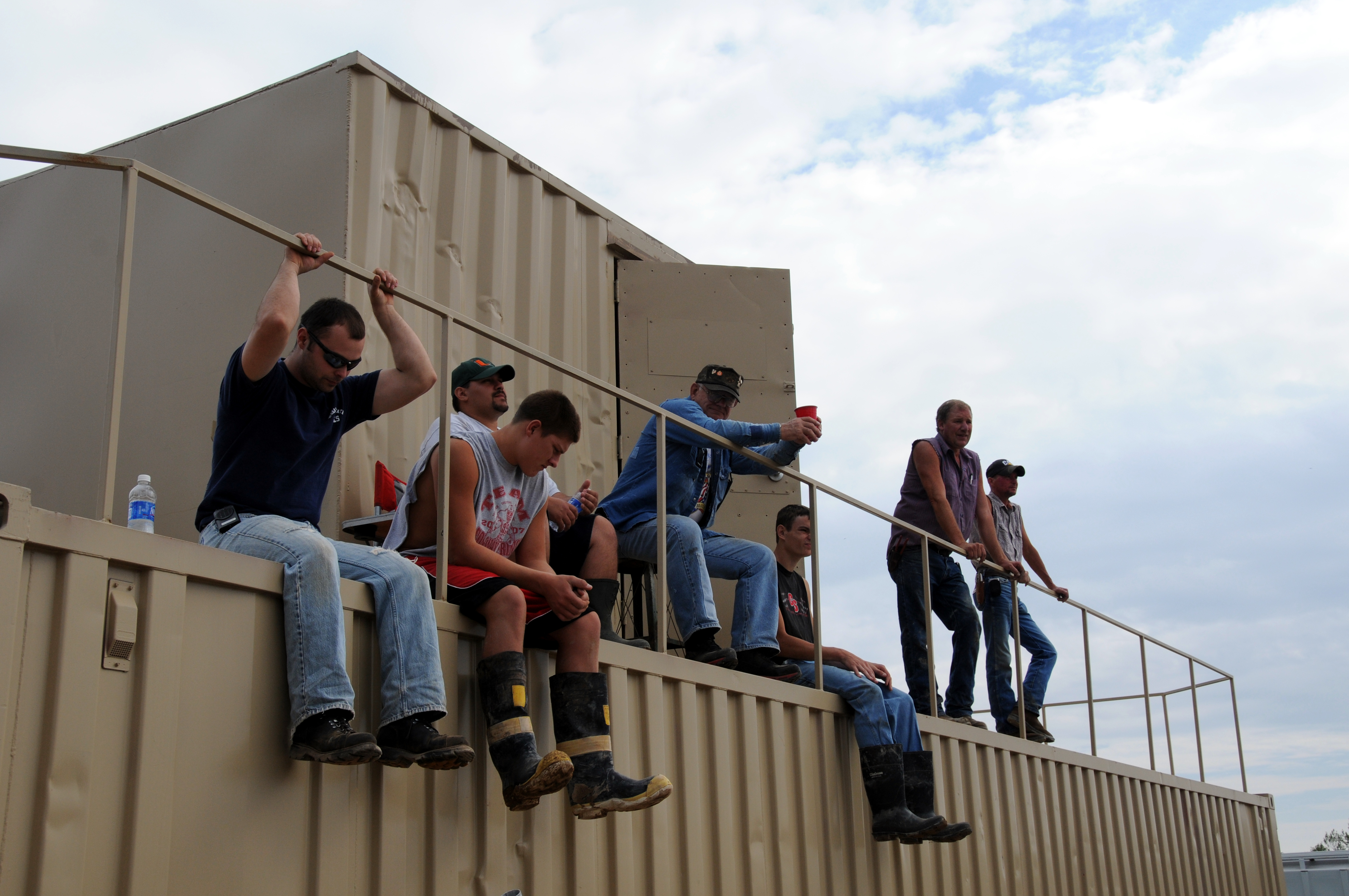
New Building_09 19 09_3419_edited-1
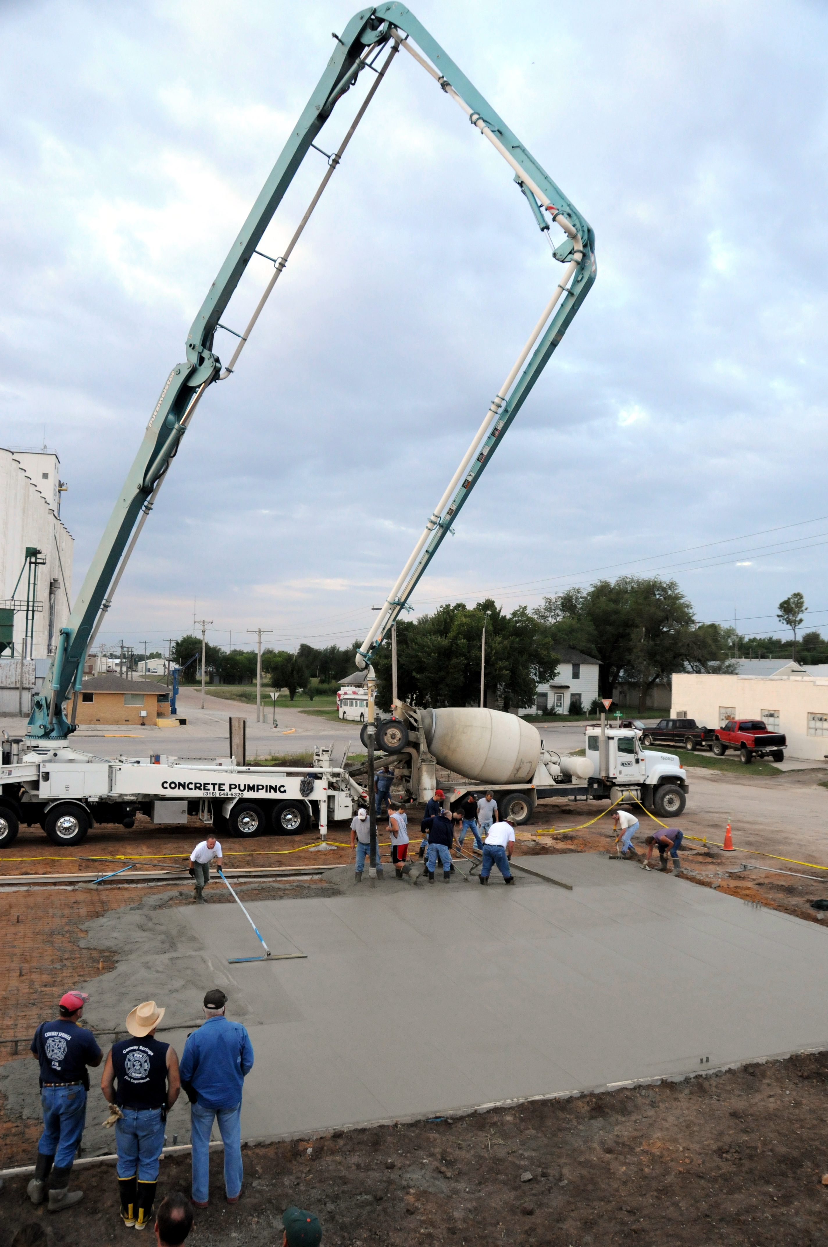
New Building_09 19 09_3287_edited-1

2018-11-27_02-38-25
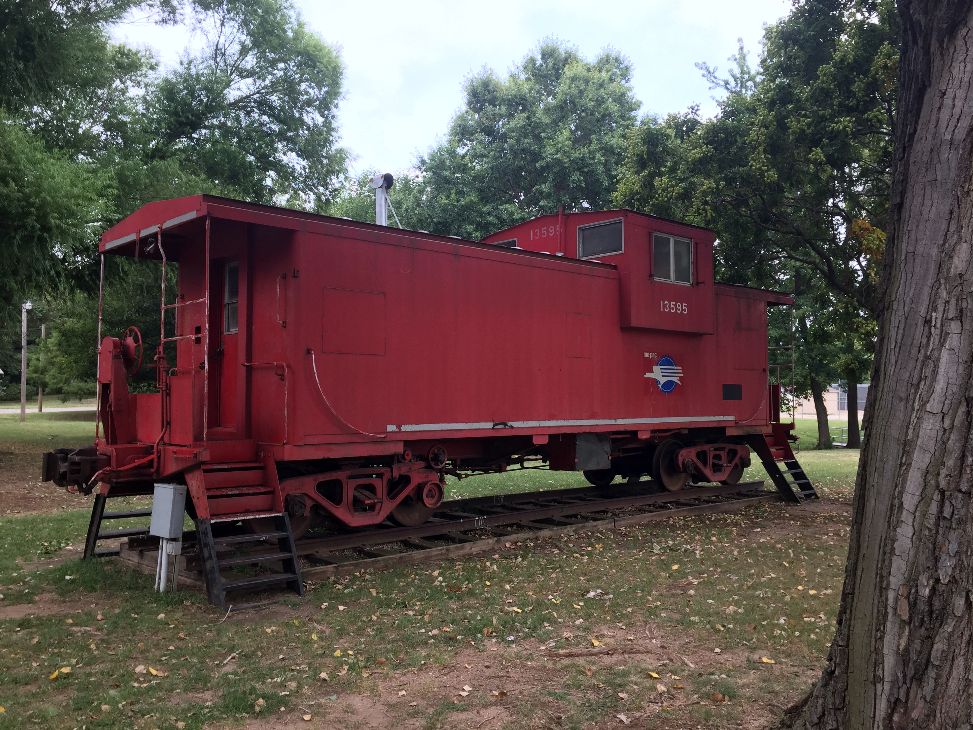
Conway Springs, KS

13. Downtown Viola, in far southwestern Sedgwick County, Viola, 7-28-07
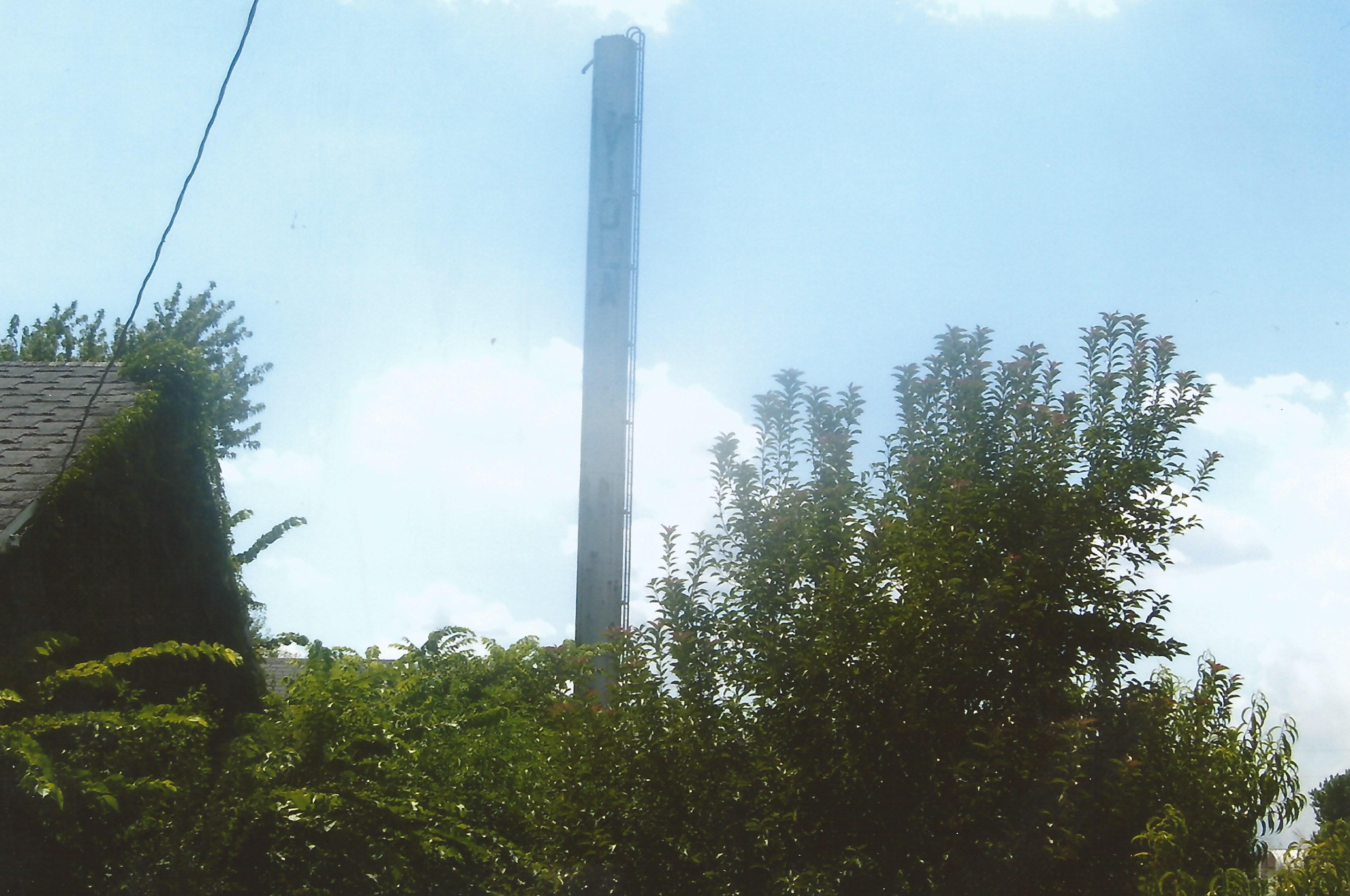
15. Their small ''stick'' watertower, Viola, 7-28-07
24. When I first visited in '04, this was an abandoned church. In 2007 it was just a foundation, Anson, 7-28-07

35. Post office, Mayfield, 7-28-07
Topographic Map of N Conway Springs Rd, Conway Springs, KS, USA
Find elevation by address:

Places near N Conway Springs Rd, Conway Springs, KS, USA:
100 Ks-49
Sumner
N Pacific Rd, Wellington, KS, USA
W Garfield Ave, Mayfield, KS, USA
Mayfield
10902 S 175th St W
Sumner County
10800 S 175th St W
Osborne
Ninnescah
Dixon
Argonia
N Main St, Argonia, KS, USA
Clearwater
S rd St W, Viola, KS, USA
Bennett
2nd Ave E, Norwich, KS, USA
Norwich
Illinois
5601 S 343rd St W
Recent Searches:
- Elevation of Corso Fratelli Cairoli, 35, Macerata MC, Italy
- Elevation of Tallevast Rd, Sarasota, FL, USA
- Elevation of 4th St E, Sonoma, CA, USA
- Elevation of Black Hollow Rd, Pennsdale, PA, USA
- Elevation of Oakland Ave, Williamsport, PA, USA
- Elevation of Pedrógão Grande, Portugal
- Elevation of Klee Dr, Martinsburg, WV, USA
- Elevation of Via Roma, Pieranica CR, Italy
- Elevation of Tavkvetili Mountain, Georgia
- Elevation of Hartfords Bluff Cir, Mt Pleasant, SC, USA