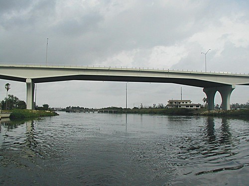
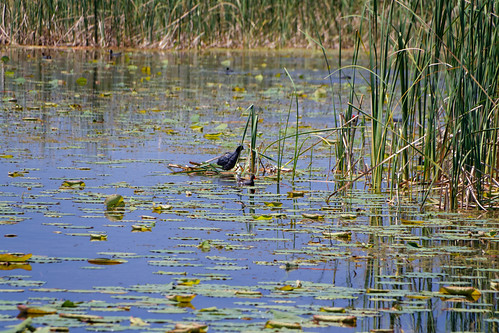
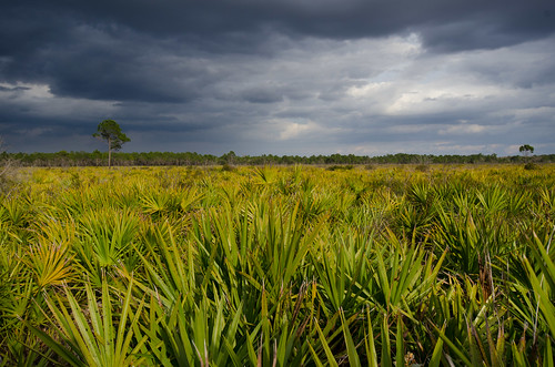
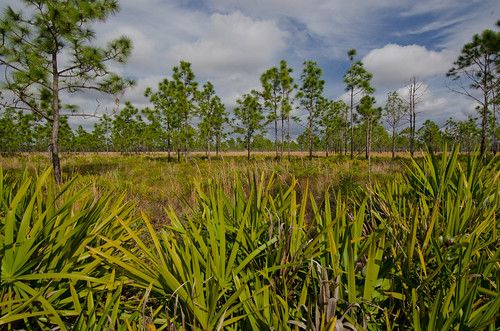
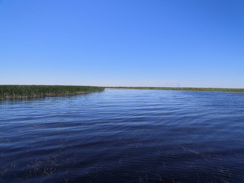
Elevation of Mayford Lake Rd, Moore Haven, FL, USA
Location: United States > Florida > Glades County > Moore Haven >
Longitude: -81.11963
Latitude: 26.971921
Elevation: 5m / 16feet
Barometric Pressure: 101KPa
Related Photos:
Topographic Map of Mayford Lake Rd, Moore Haven, FL, USA
Find elevation by address:

Places near Mayford Lake Rd, Moore Haven, FL, USA:
99 Fl-78 7950 Fl
12777 Fl-78
Glades County
Fisherman's Ln NE, Okeechobee, FL, USA
Moore Haven
1713 Daniels Rd
2286 Riverside Dr
9640 U S Hwy N #27
Palmdale
Griffin Rd, Moore Haven, FL, USA
Okeechobee, FL, USA
1195 Horseshoe Loop
Shawnee Farms Rd, Moore Haven, FL, USA
Williams Rd, Moore Haven, FL, USA
FL-78, Moore Haven, FL, USA
FL-70, Okeechobee, FL, USA
Venus
Lake Dr W, Okeechobee, FL, USA
Buckhead Ridge
1701 Lake Dr
Recent Searches:
- Elevation of Corso Fratelli Cairoli, 35, Macerata MC, Italy
- Elevation of Tallevast Rd, Sarasota, FL, USA
- Elevation of 4th St E, Sonoma, CA, USA
- Elevation of Black Hollow Rd, Pennsdale, PA, USA
- Elevation of Oakland Ave, Williamsport, PA, USA
- Elevation of Pedrógão Grande, Portugal
- Elevation of Klee Dr, Martinsburg, WV, USA
- Elevation of Via Roma, Pieranica CR, Italy
- Elevation of Tavkvetili Mountain, Georgia
- Elevation of Hartfords Bluff Cir, Mt Pleasant, SC, USA


