Elevation of Lake Dr W, Okeechobee, FL, USA
Location: United States > Florida > Glades County > Buckhead Ridge >
Longitude: -80.89377
Latitude: 27.130042
Elevation: 5m / 16feet
Barometric Pressure: 101KPa
Elevation Map:
Satellite Map:
Related Photos:
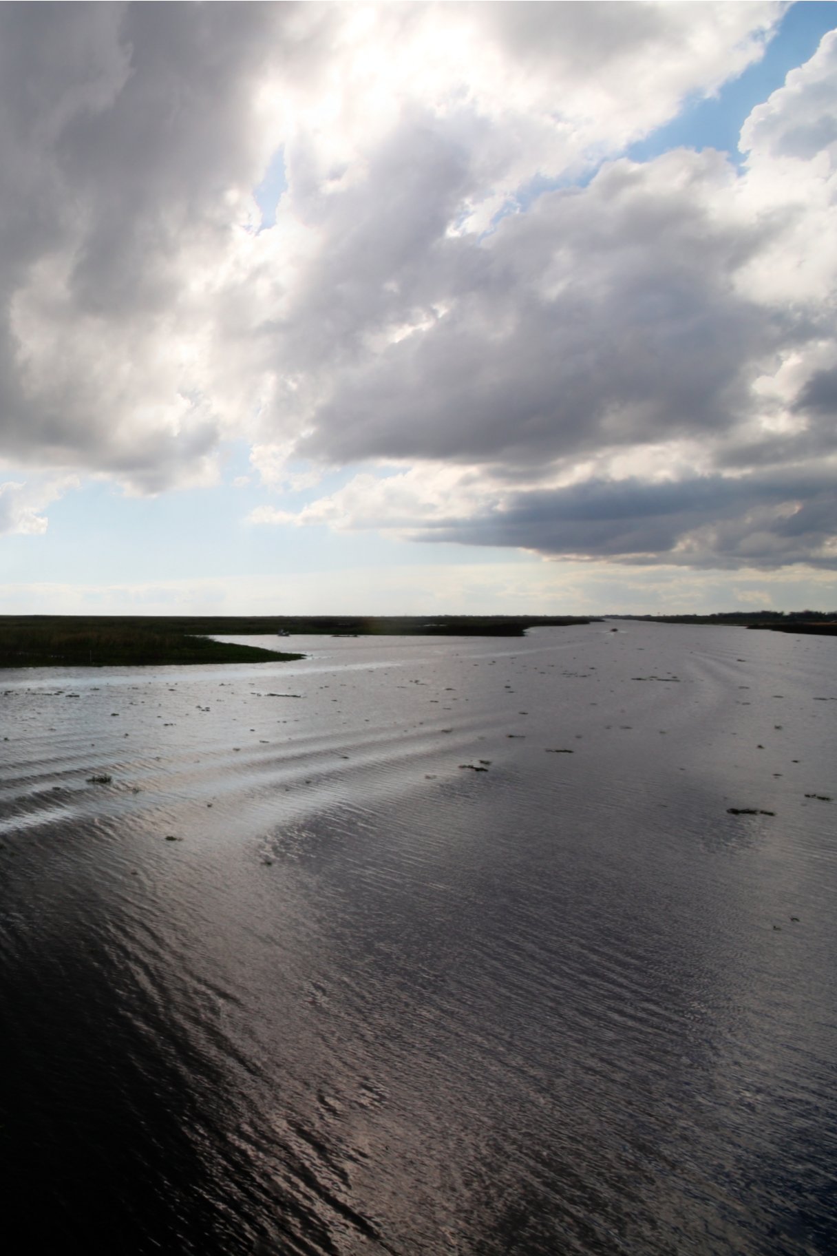
View From Dock on Lake Okeechobee
View from our Kabin's porch

Great Blue Heron
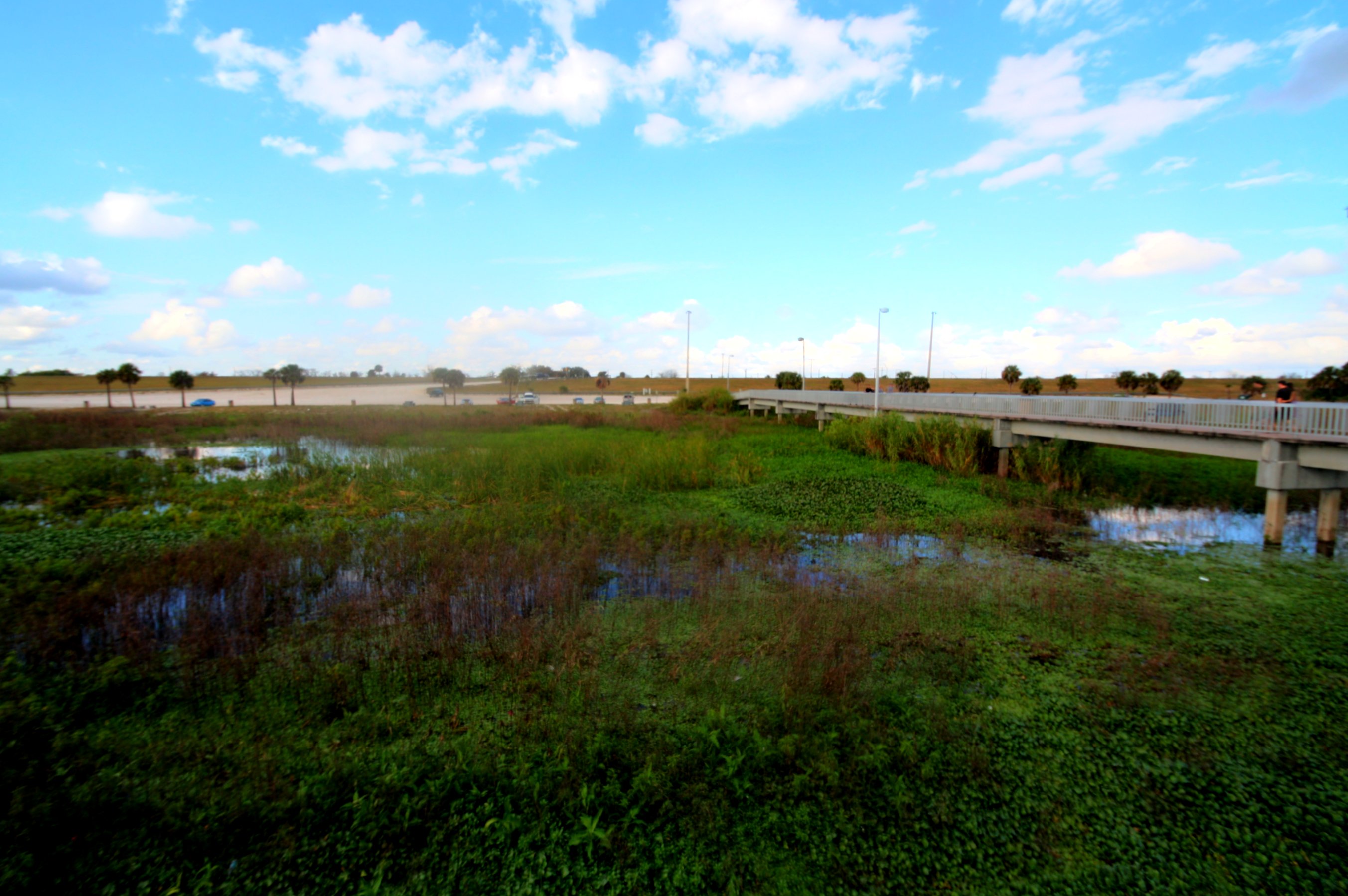
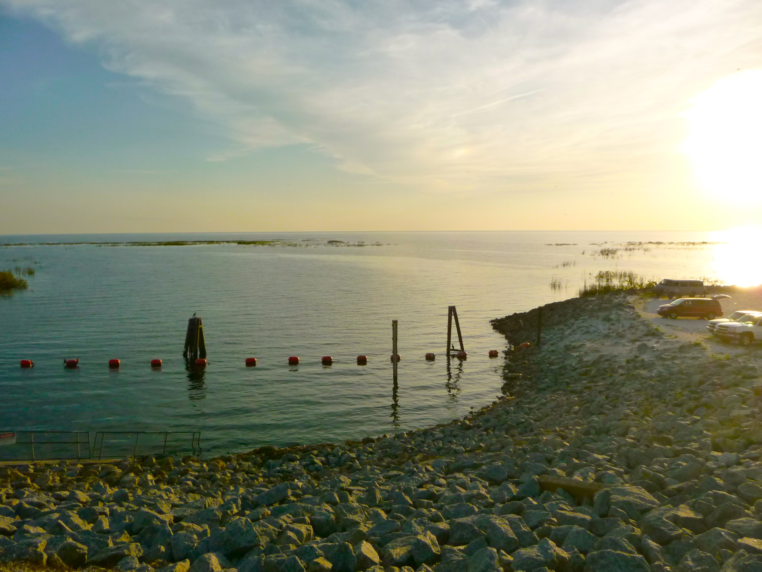
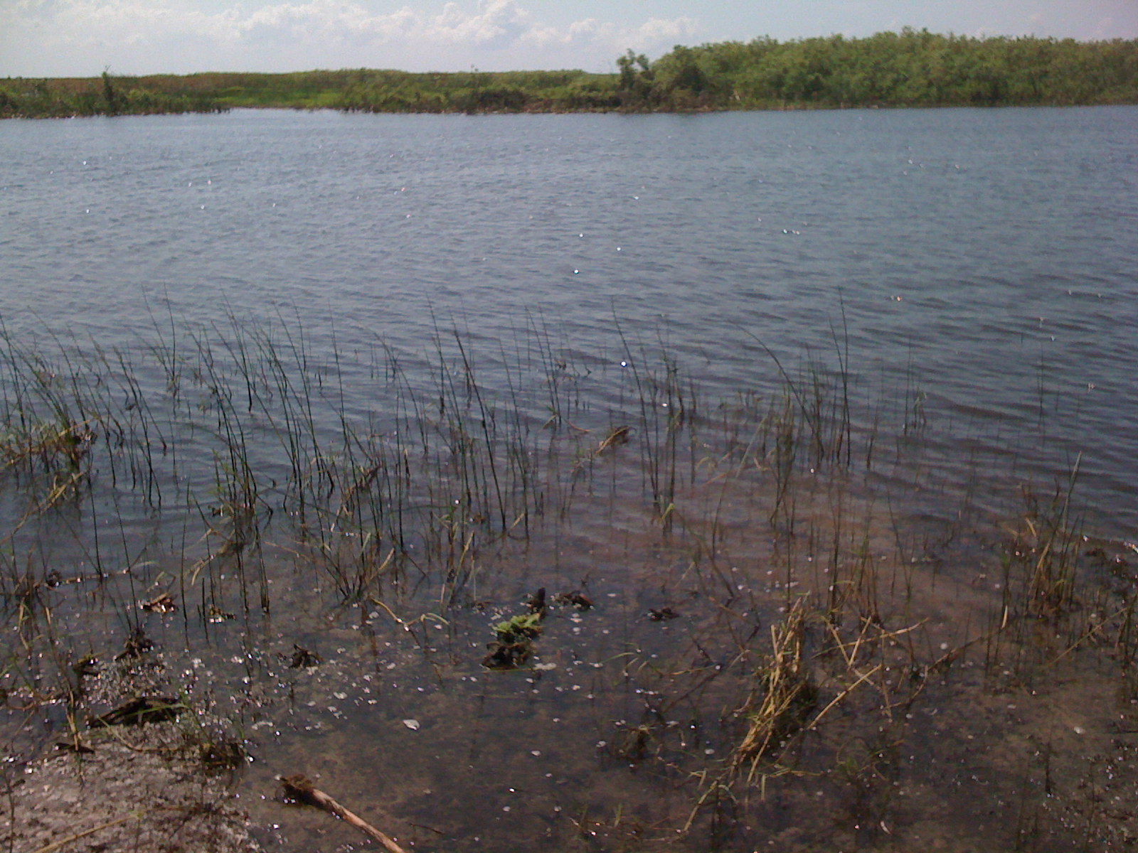
Lake Okeechobee

Lake Okeechobee
Lake Okeechobee

Today's End
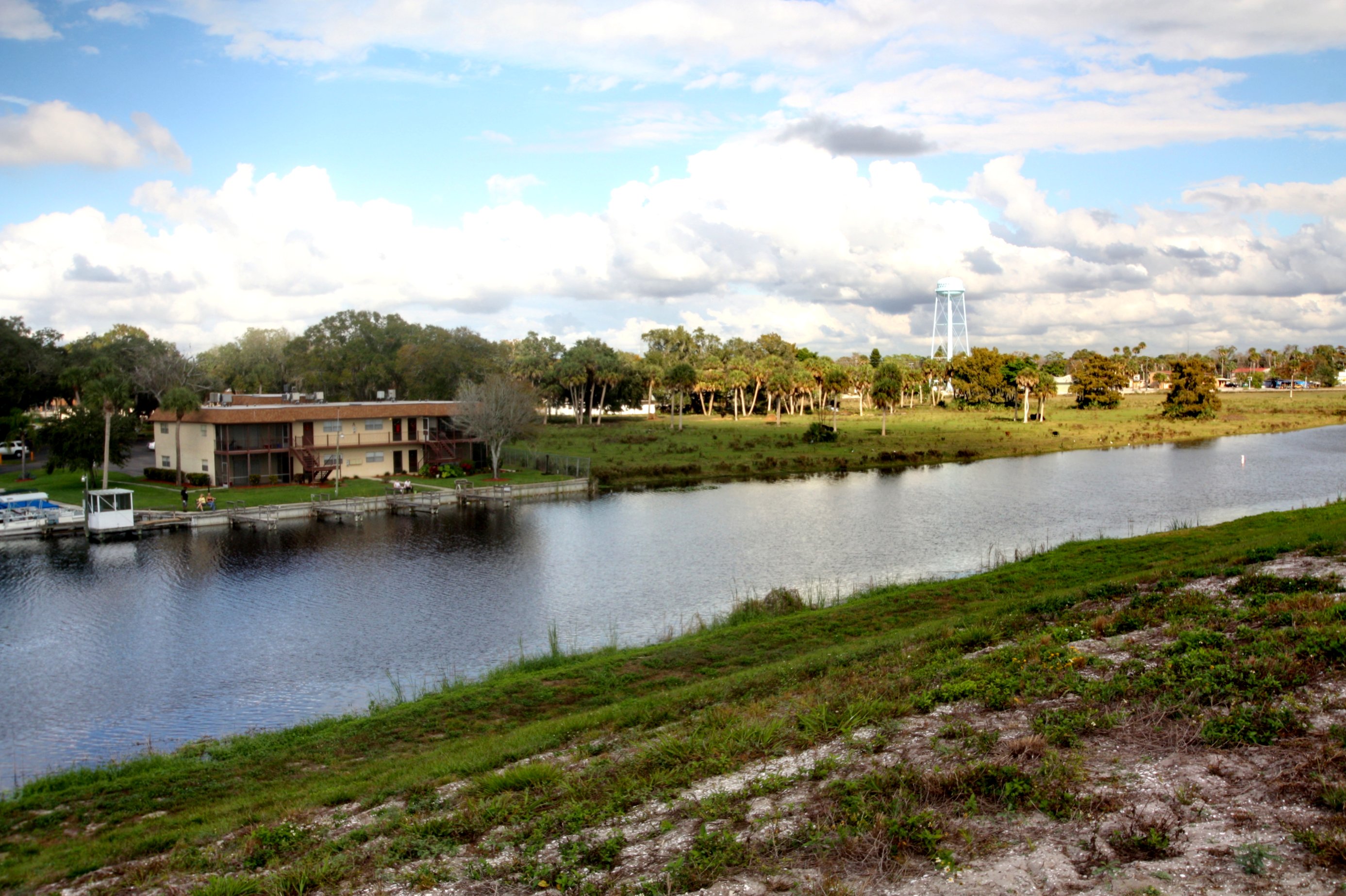
Lake Okeechobee
Rim Ditch

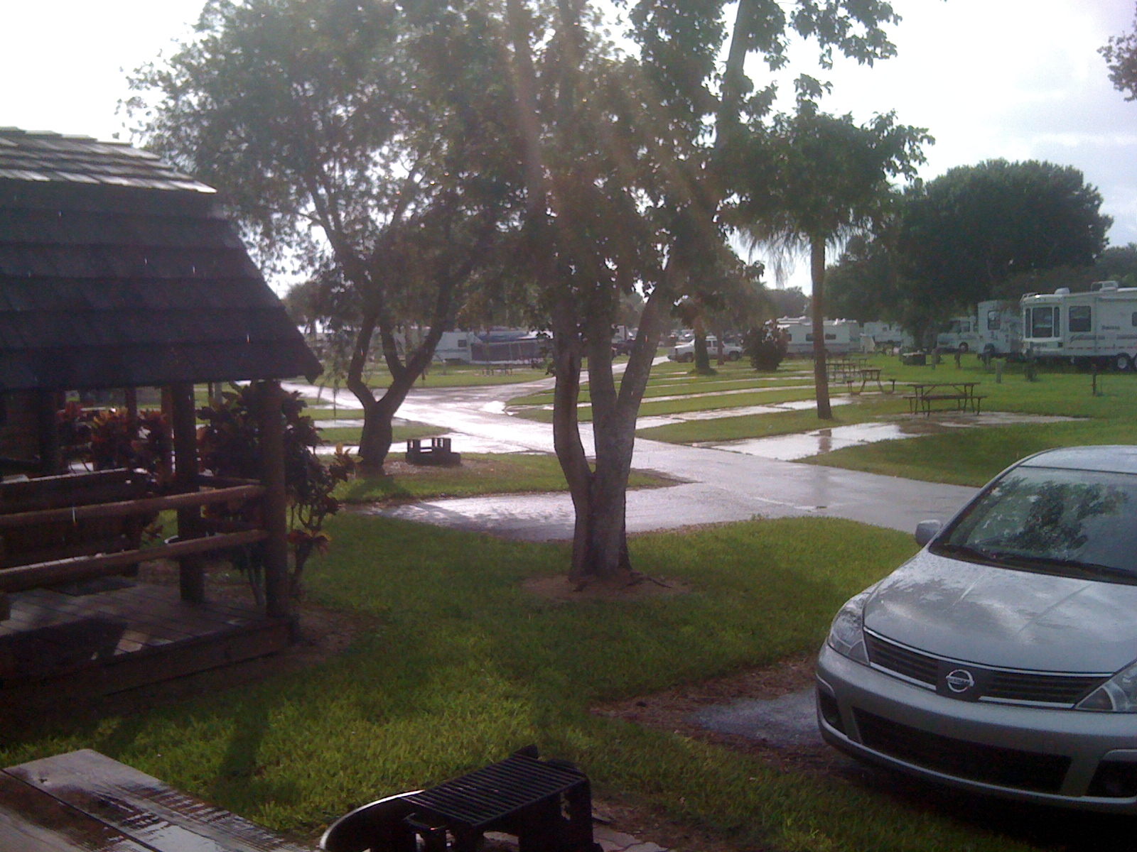
After a Day of Rain MVC-411X
Lake Okeechobee
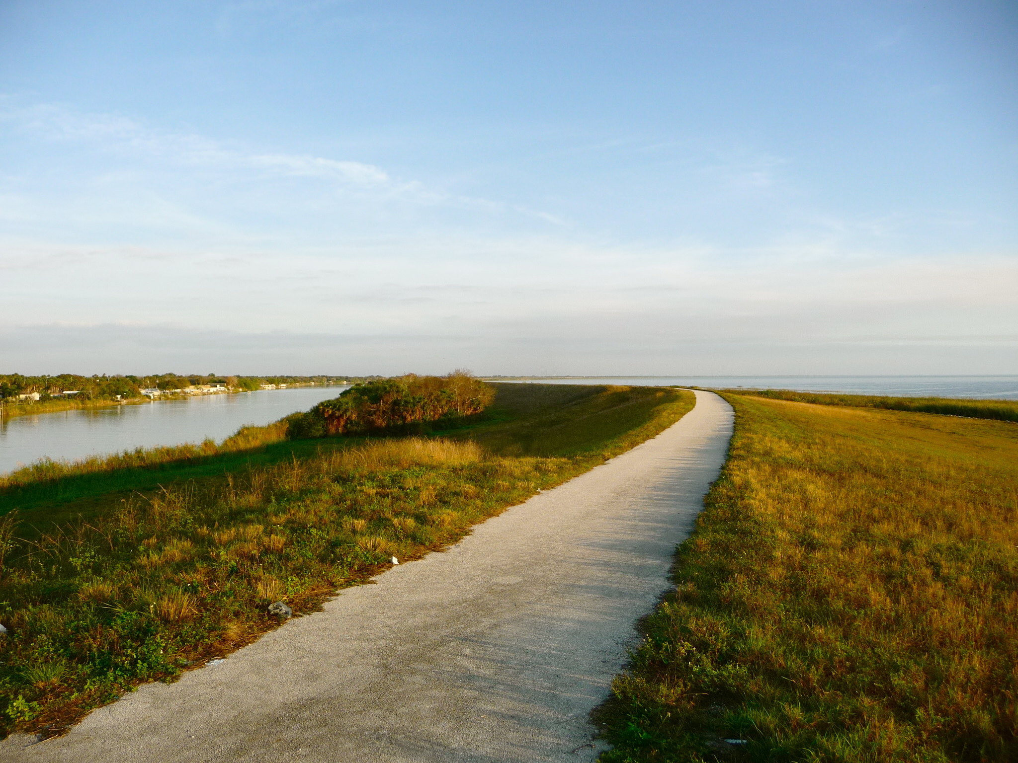
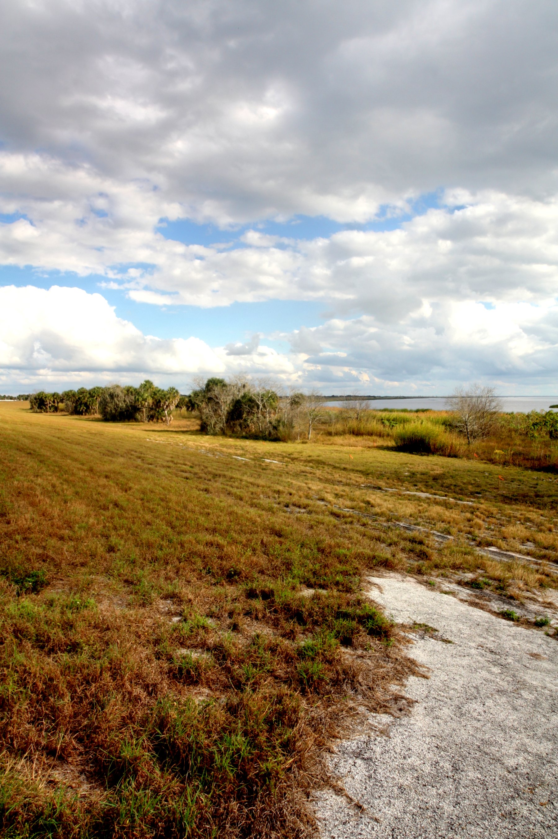
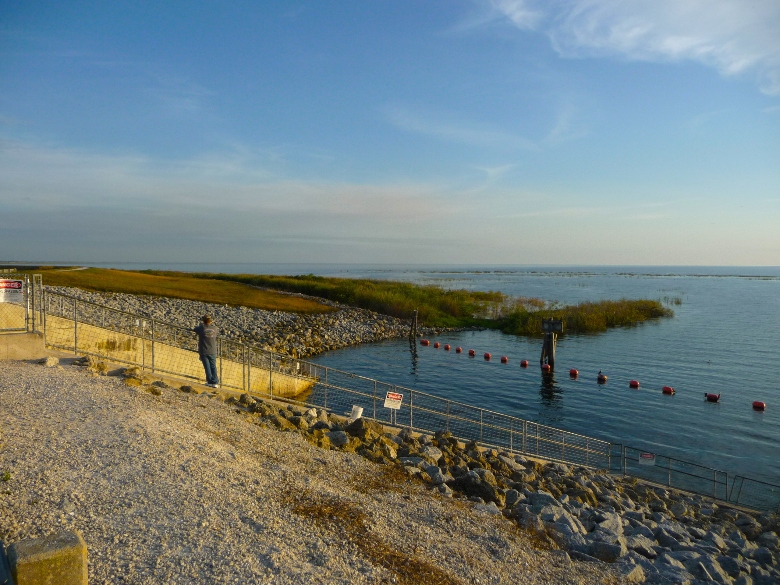
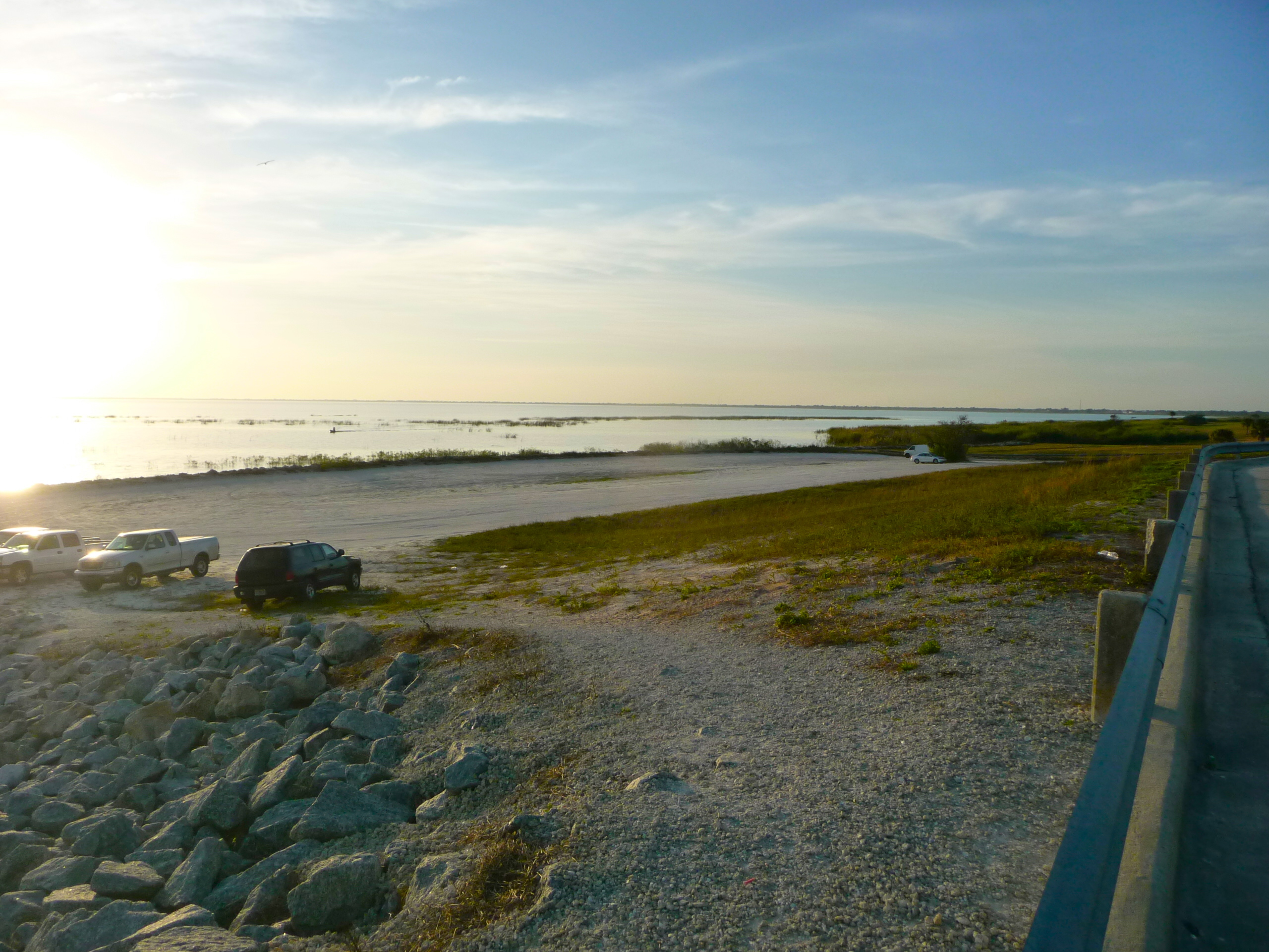
The dyke along Lake Okeechobee
Lake Okeechobee
IMG_0239.JPG

End of the Tunnel
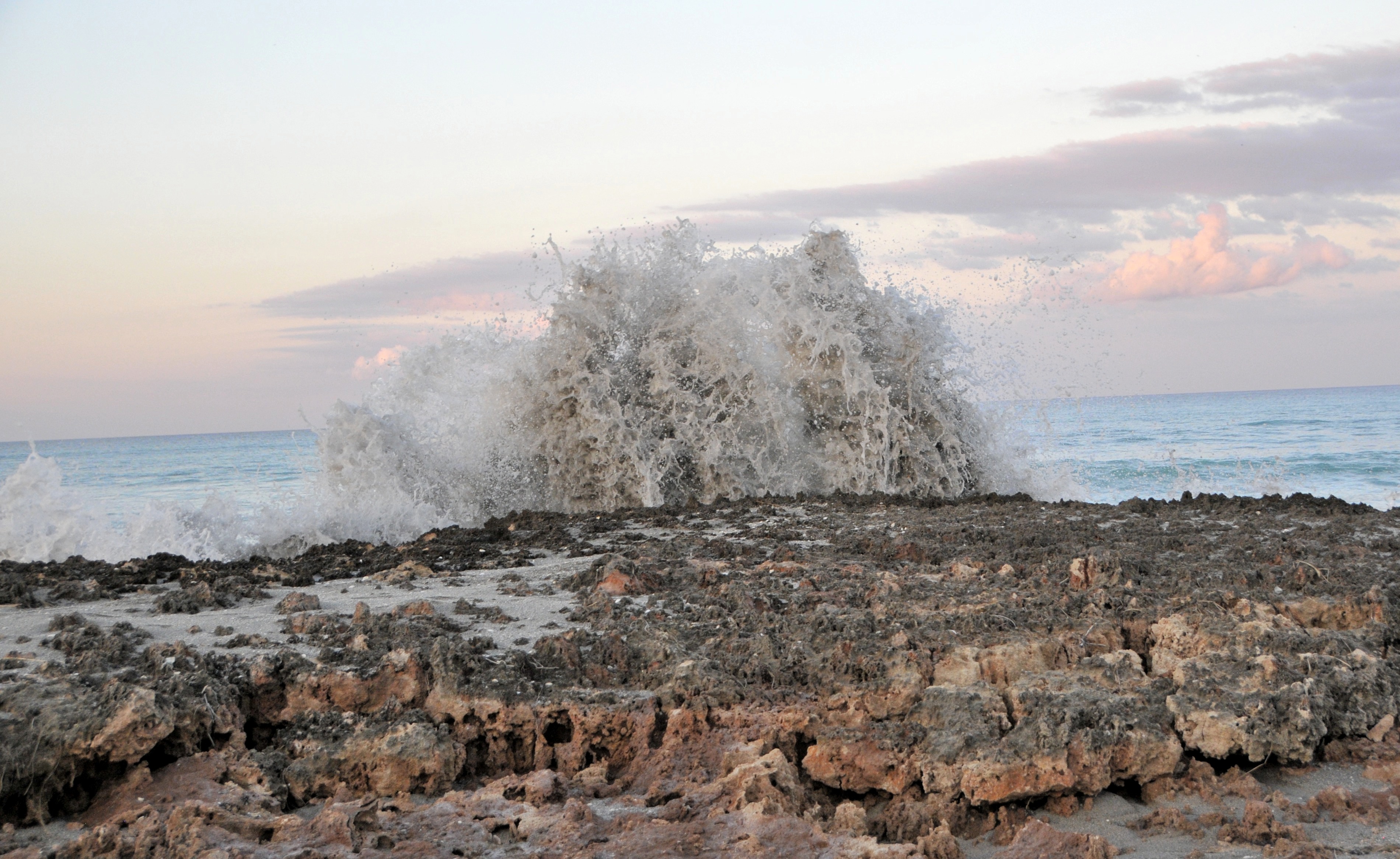
Blowing Rocks_1

Twin Palms, A Sunset Silhouette

Rebecca Hanson

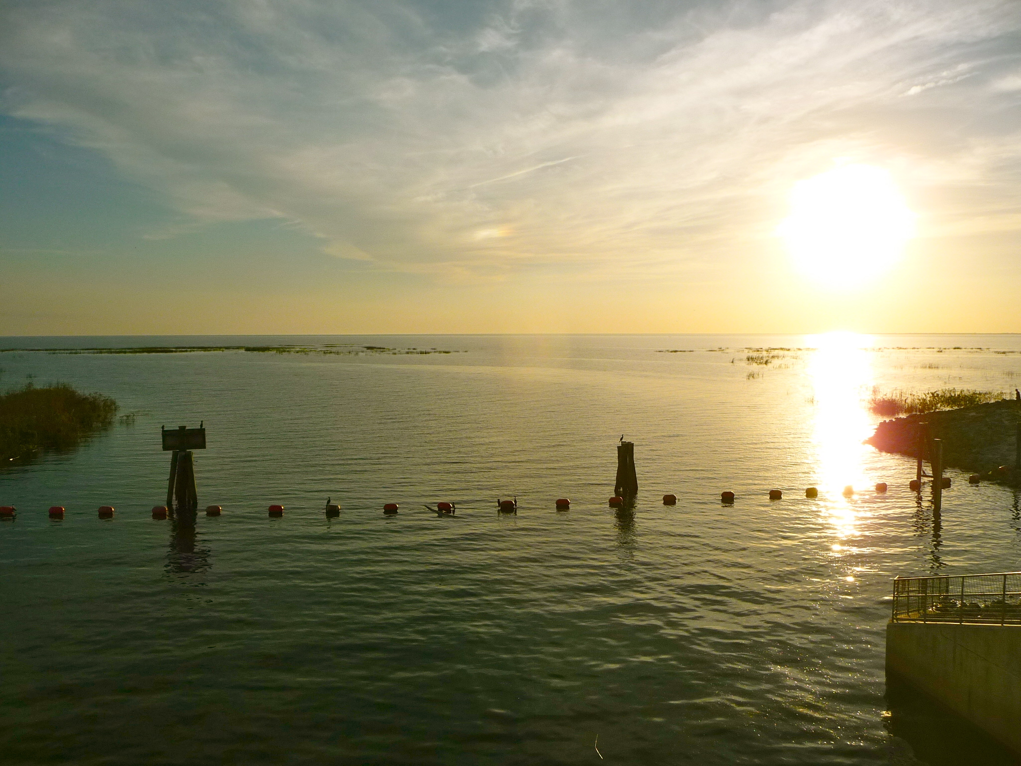
Lake Okeechobee
Lake Okeechobee
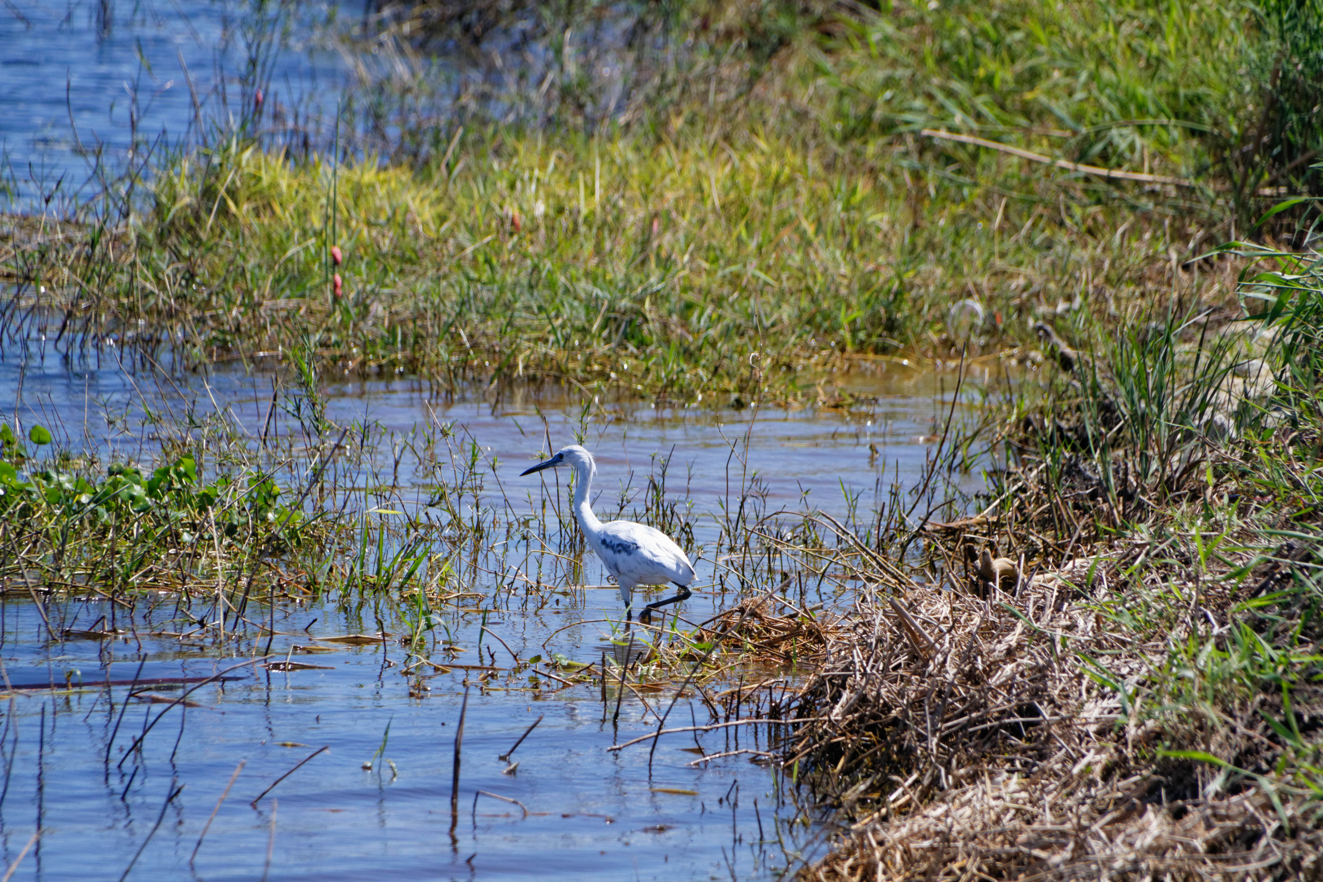
Snowy Egret (Egretta thula)
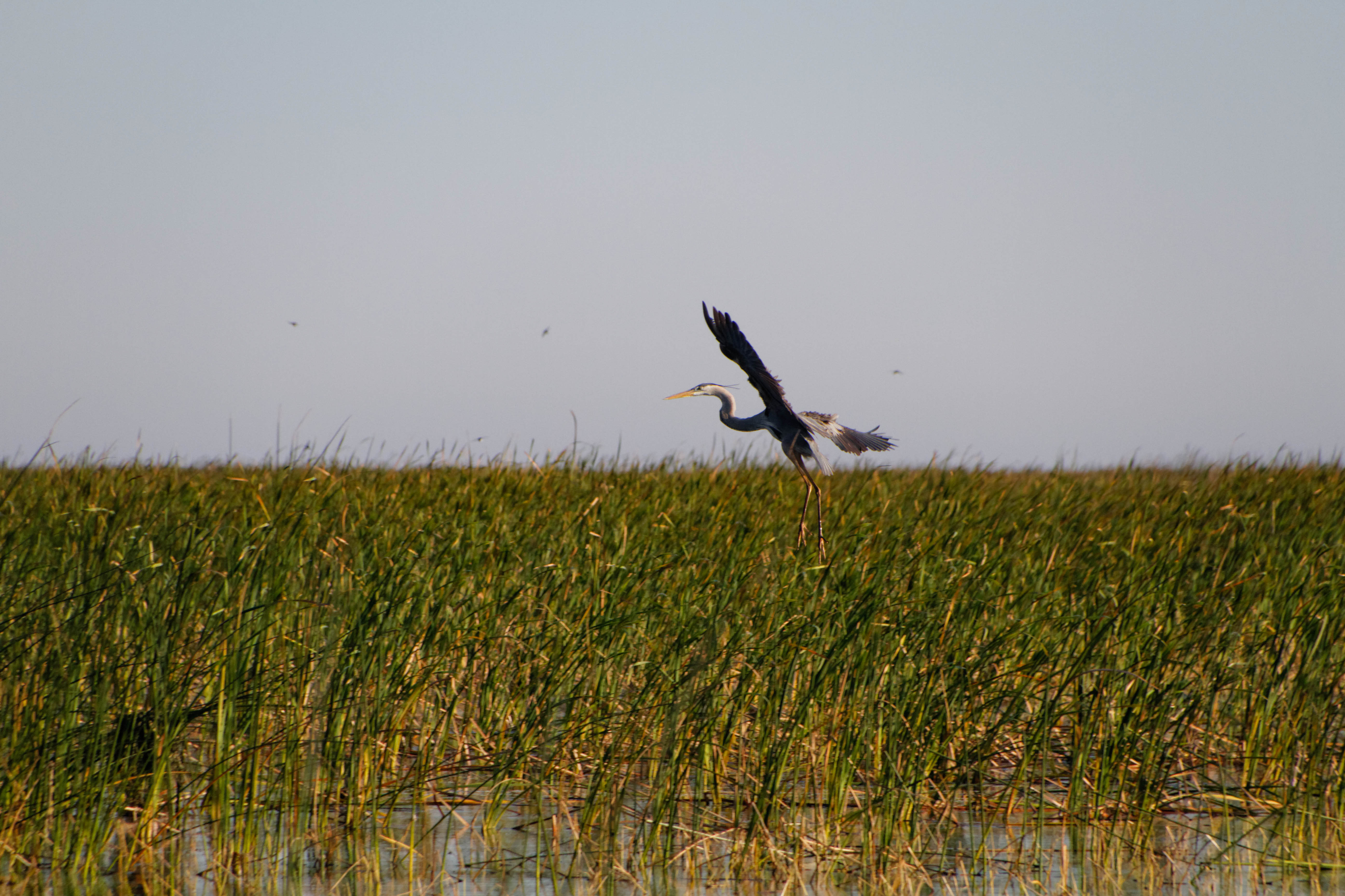
Great Blue Heron (Ardea herodias)

Great Blue Heron (Ardea herodias)
Topographic Map of Lake Dr W, Okeechobee, FL, USA
Find elevation by address:

Places near Lake Dr W, Okeechobee, FL, USA:
Buckhead Ridge
1701 Lake Dr
7950 Fl-78 #133
7899 Fl-78
Okeechobee, FL, USA
7950 Fl-78 #100
7950 Fl-78 #99
7950 Fl-78
304 Sw 87th Terrace
644 Se 26th Dr
1411 Sw 7th Ave
907 Sw 10th Ave
907 Sw 10th Ave
1903 Se 34th Ln
1360 Se 21st St
Okeechobee
1407 Se 7th St
3801 Se 32nd Ln
SE 38th Ave, Okeechobee, FL, USA
Okeechobee County Airport-obe
Recent Searches:
- Elevation of Corso Fratelli Cairoli, 35, Macerata MC, Italy
- Elevation of Tallevast Rd, Sarasota, FL, USA
- Elevation of 4th St E, Sonoma, CA, USA
- Elevation of Black Hollow Rd, Pennsdale, PA, USA
- Elevation of Oakland Ave, Williamsport, PA, USA
- Elevation of Pedrógão Grande, Portugal
- Elevation of Klee Dr, Martinsburg, WV, USA
- Elevation of Via Roma, Pieranica CR, Italy
- Elevation of Tavkvetili Mountain, Georgia
- Elevation of Hartfords Bluff Cir, Mt Pleasant, SC, USA