Elevation of FL-78, Moore Haven, FL, USA
Location: United States > Florida > Glades County > Moore Haven >
Longitude: -81.316262
Latitude: 26.812682
Elevation: 7m / 23feet
Barometric Pressure: 101KPa
Elevation Map:
Satellite Map:
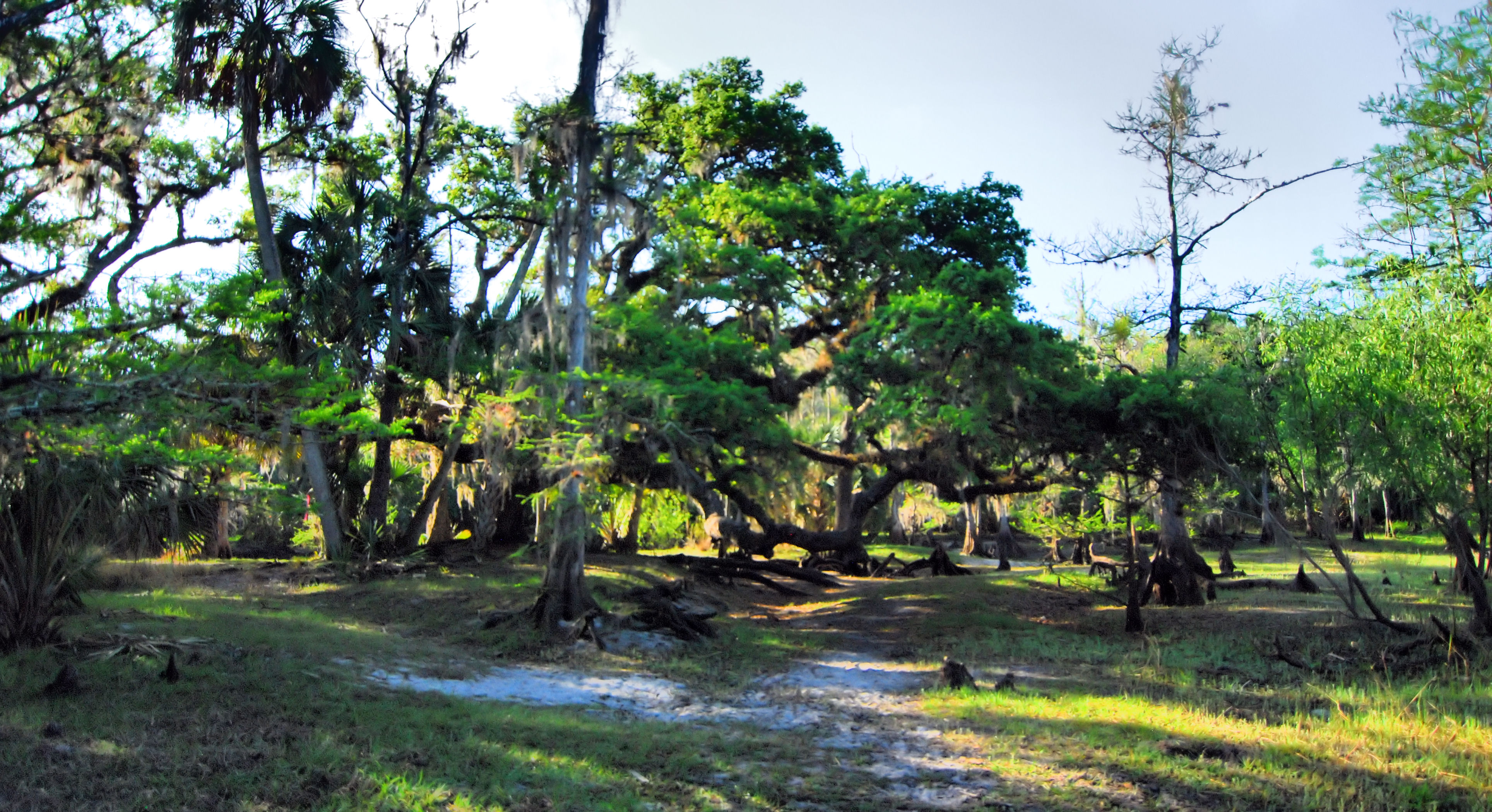
Related Photos:
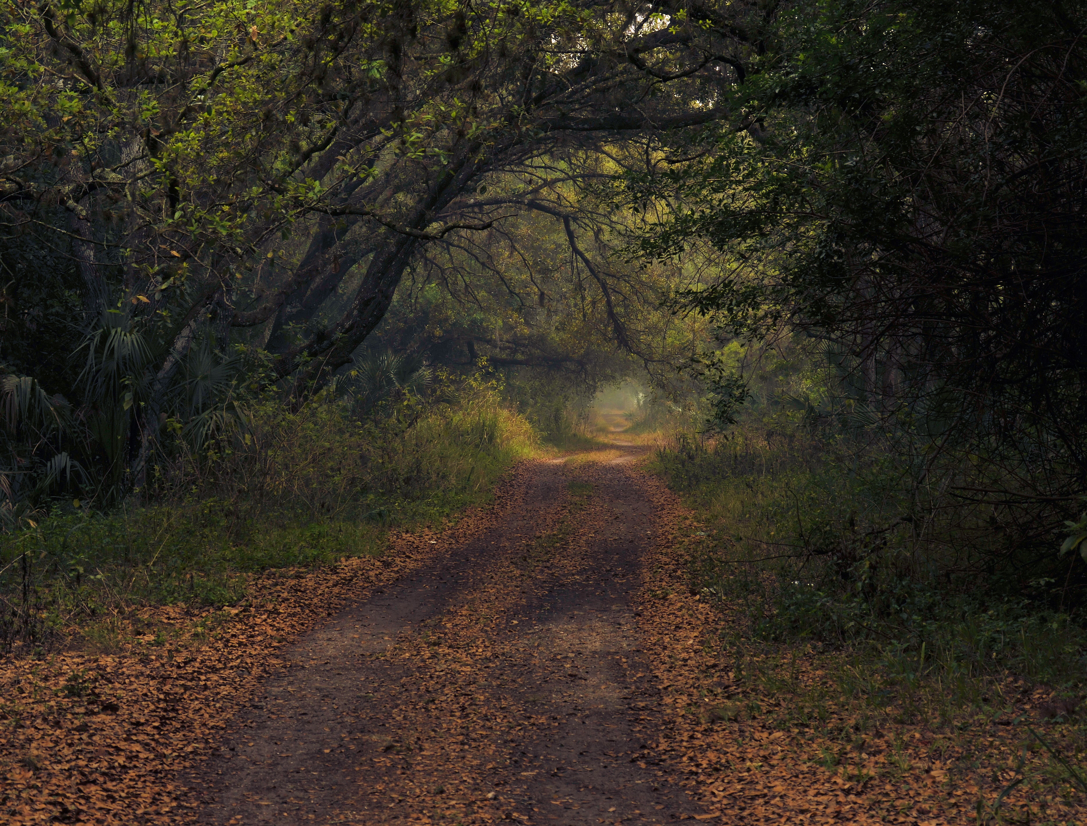
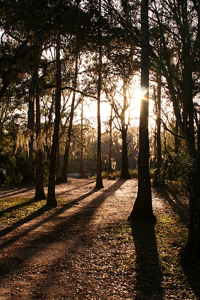
Hole in the Forest

Home in the Forest
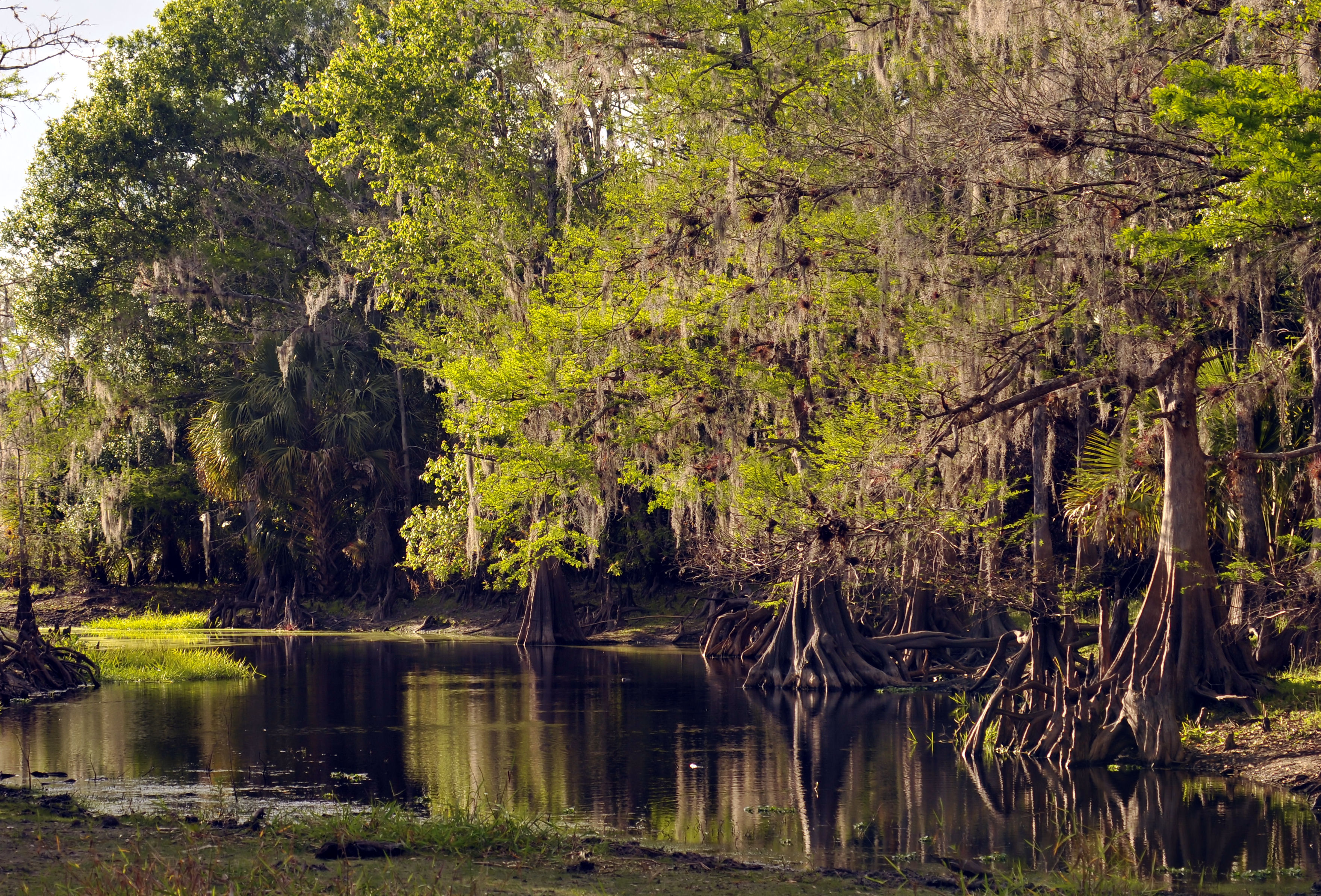
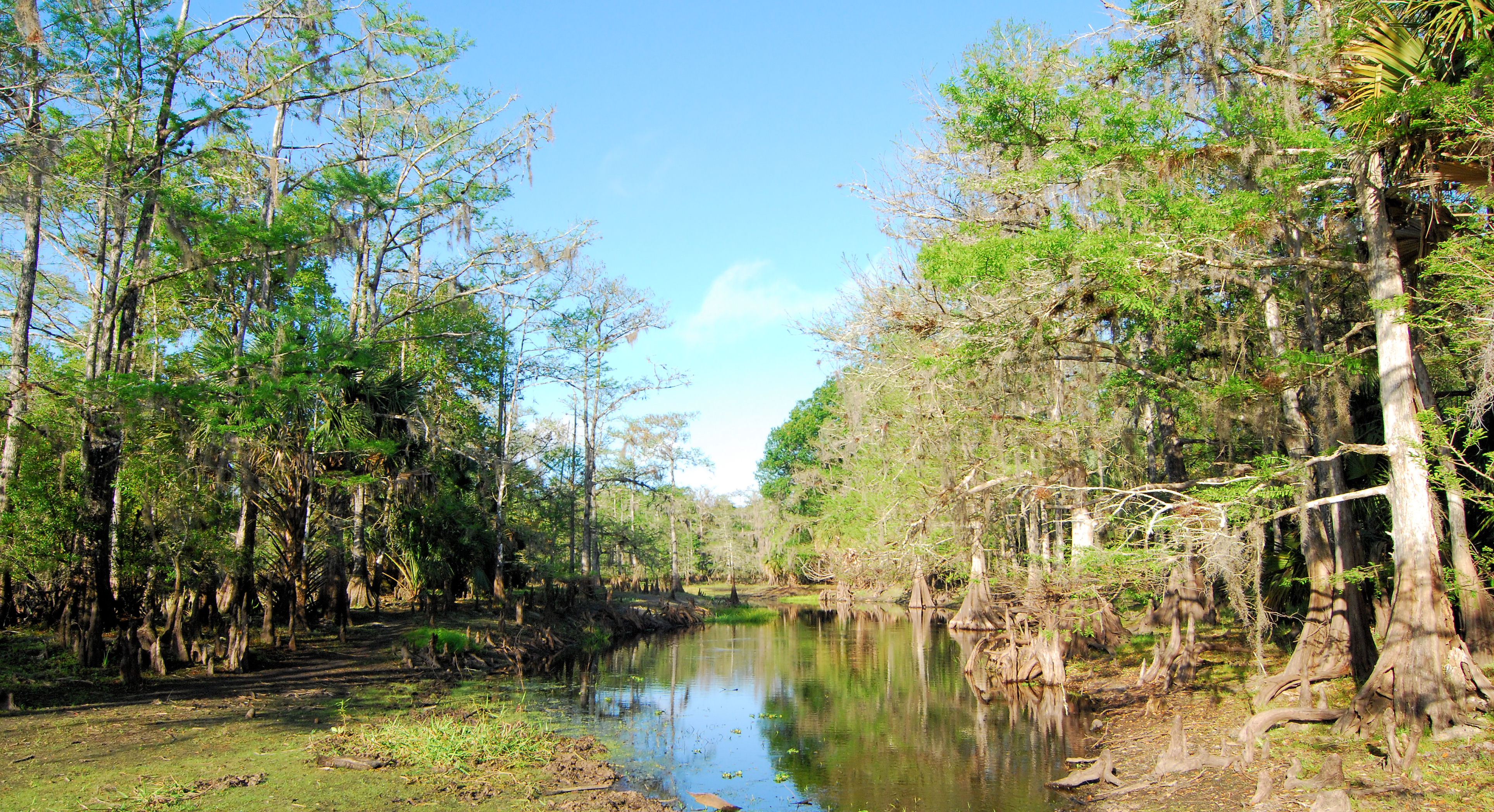
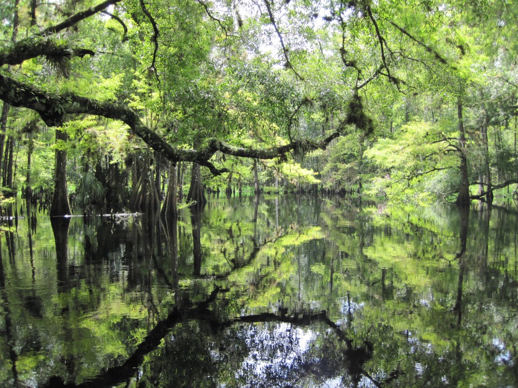
Fisheating Creek Flow

Wicked Reflection

Yellow Throat Closeup

Tracking the Fog

A Bloom is Born
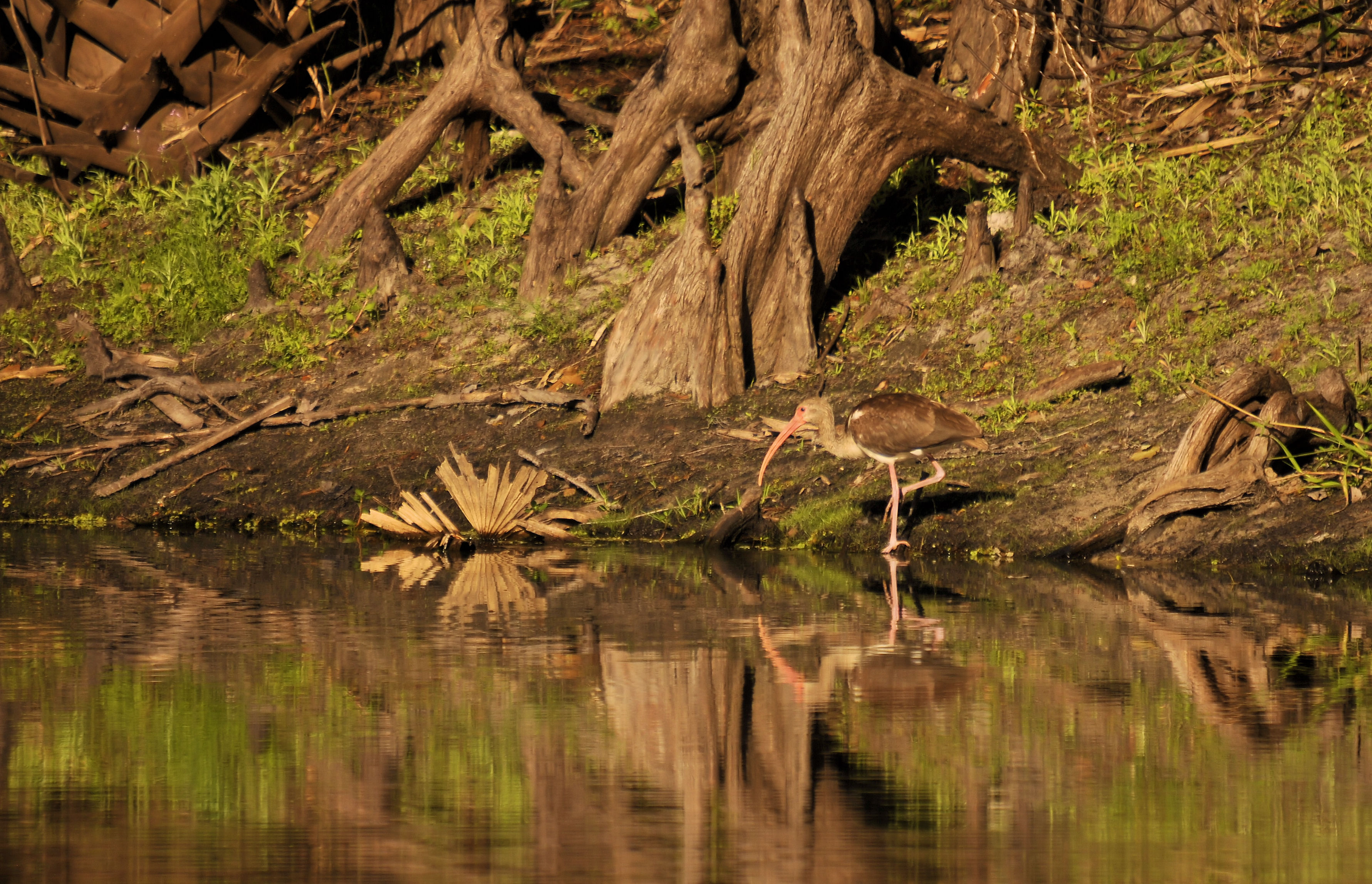
Ibis in Cammo

Yellow Throated Warbler
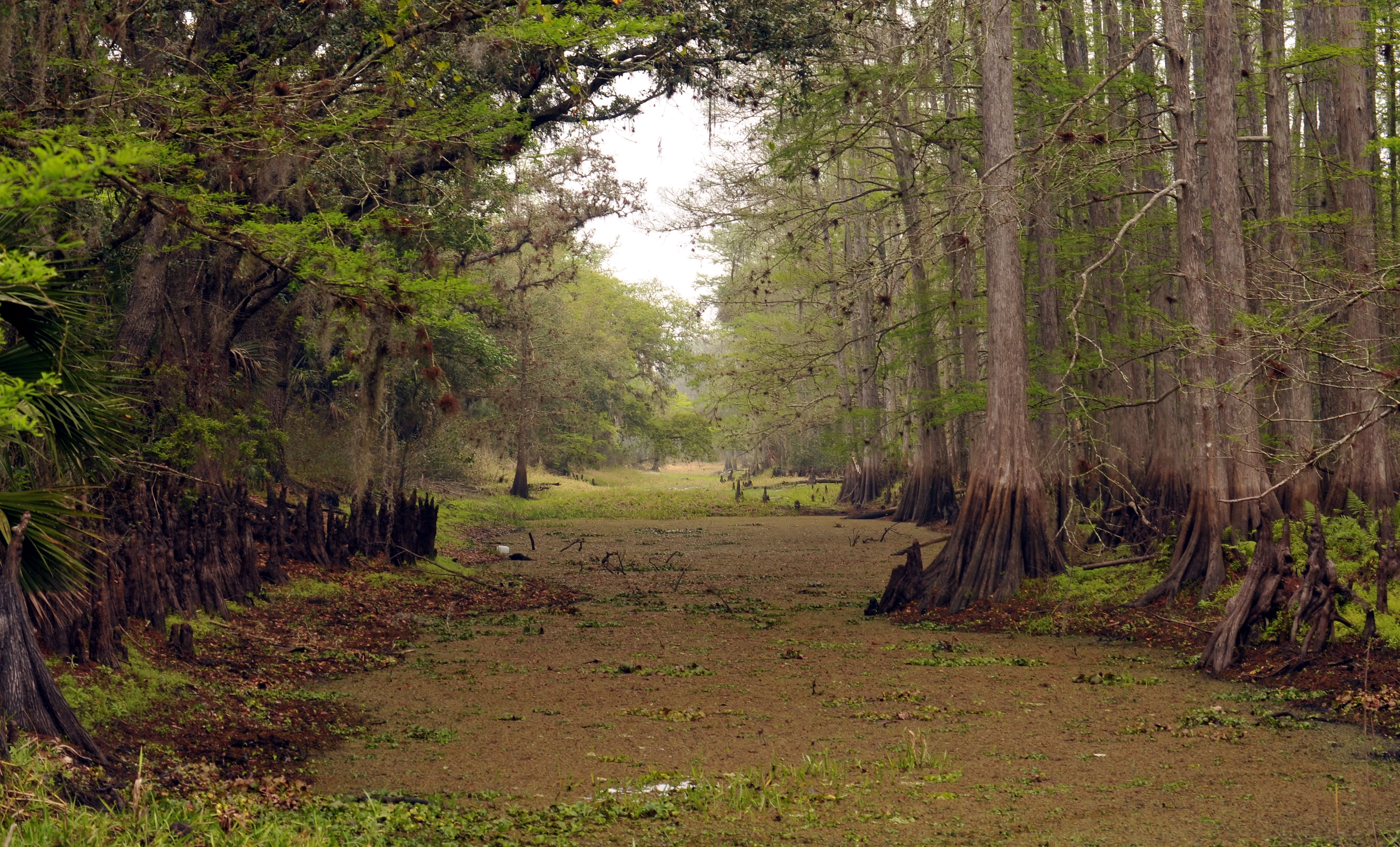
The Forest
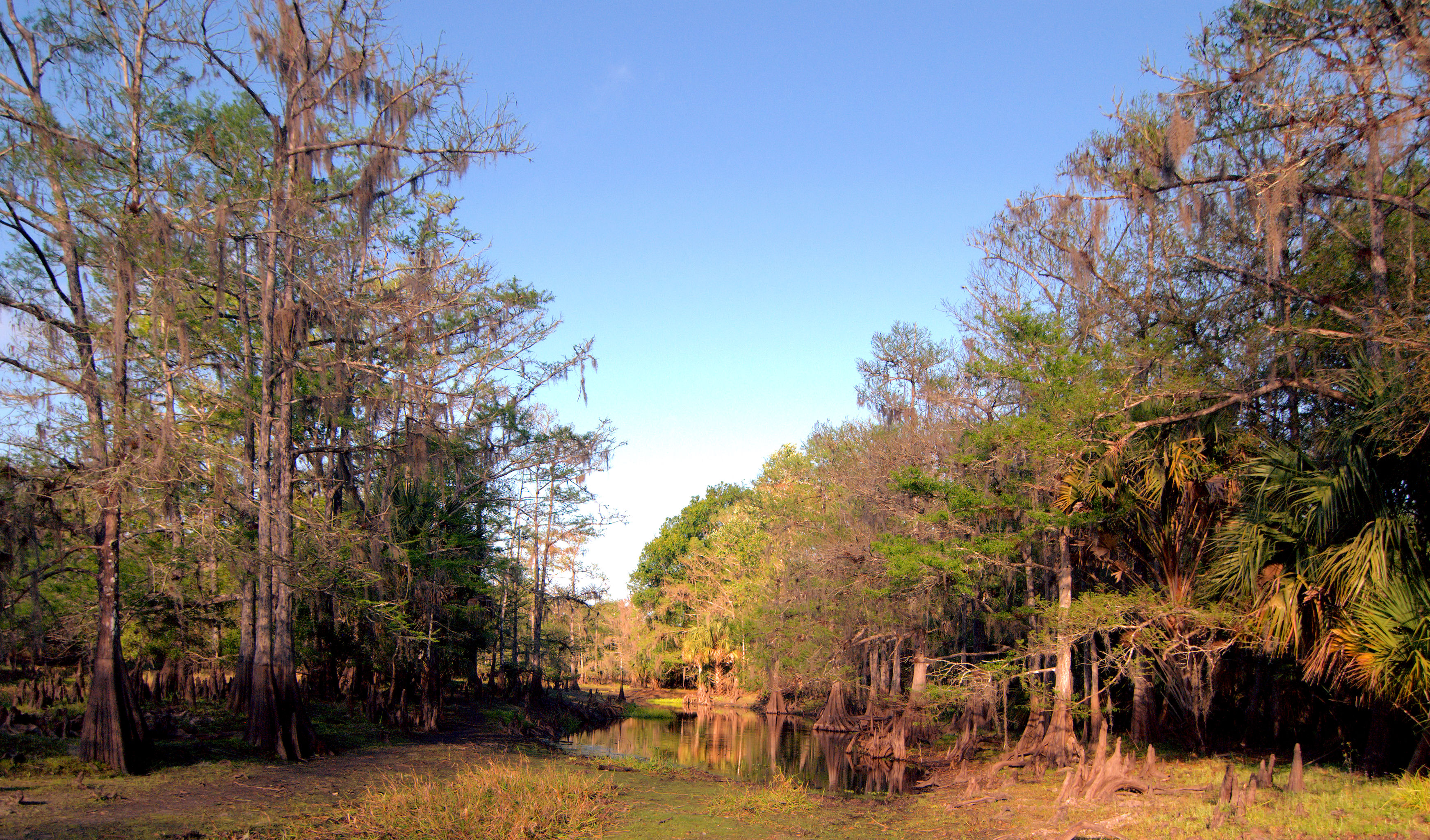
Trail's End
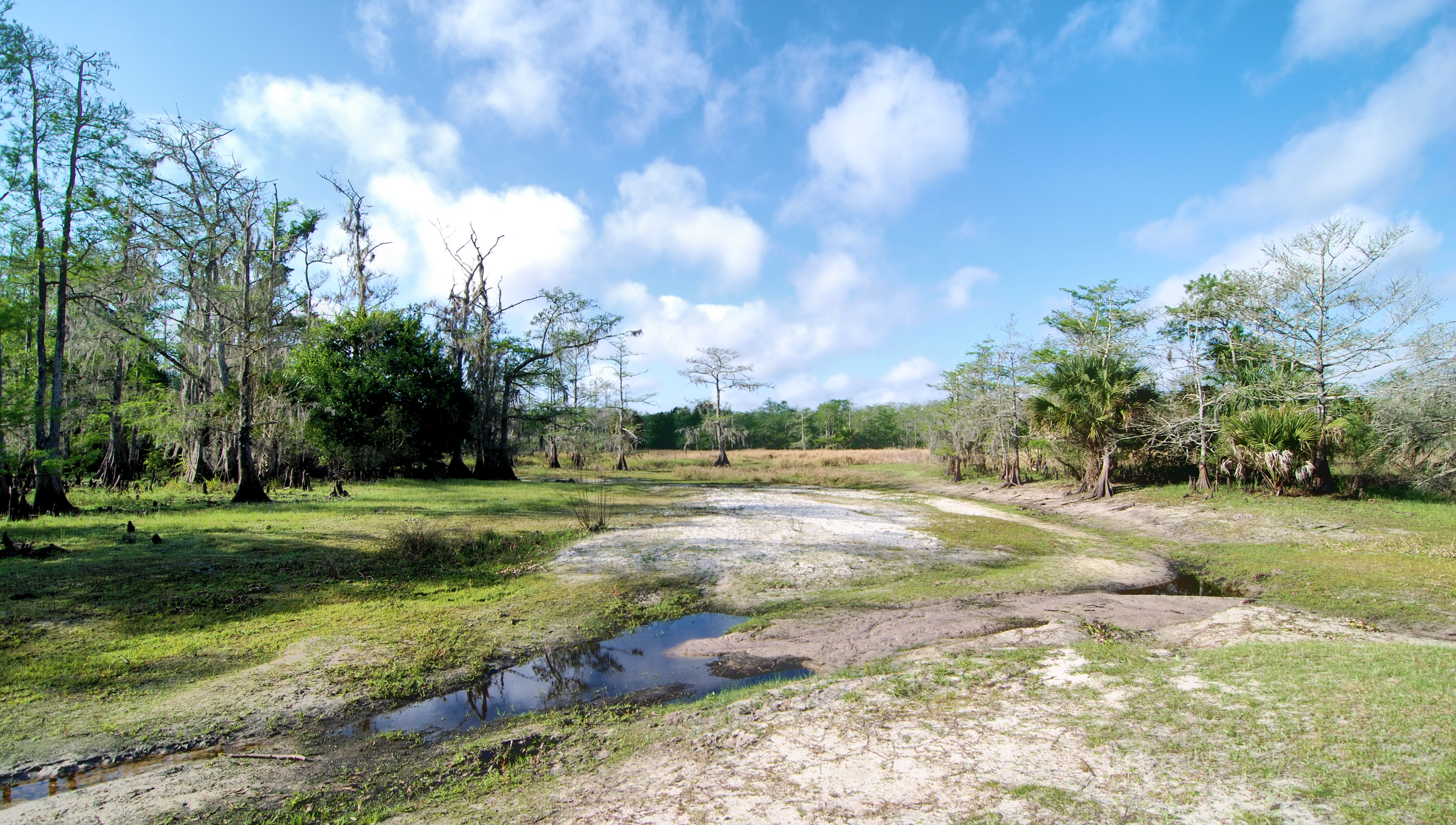
Into the Open
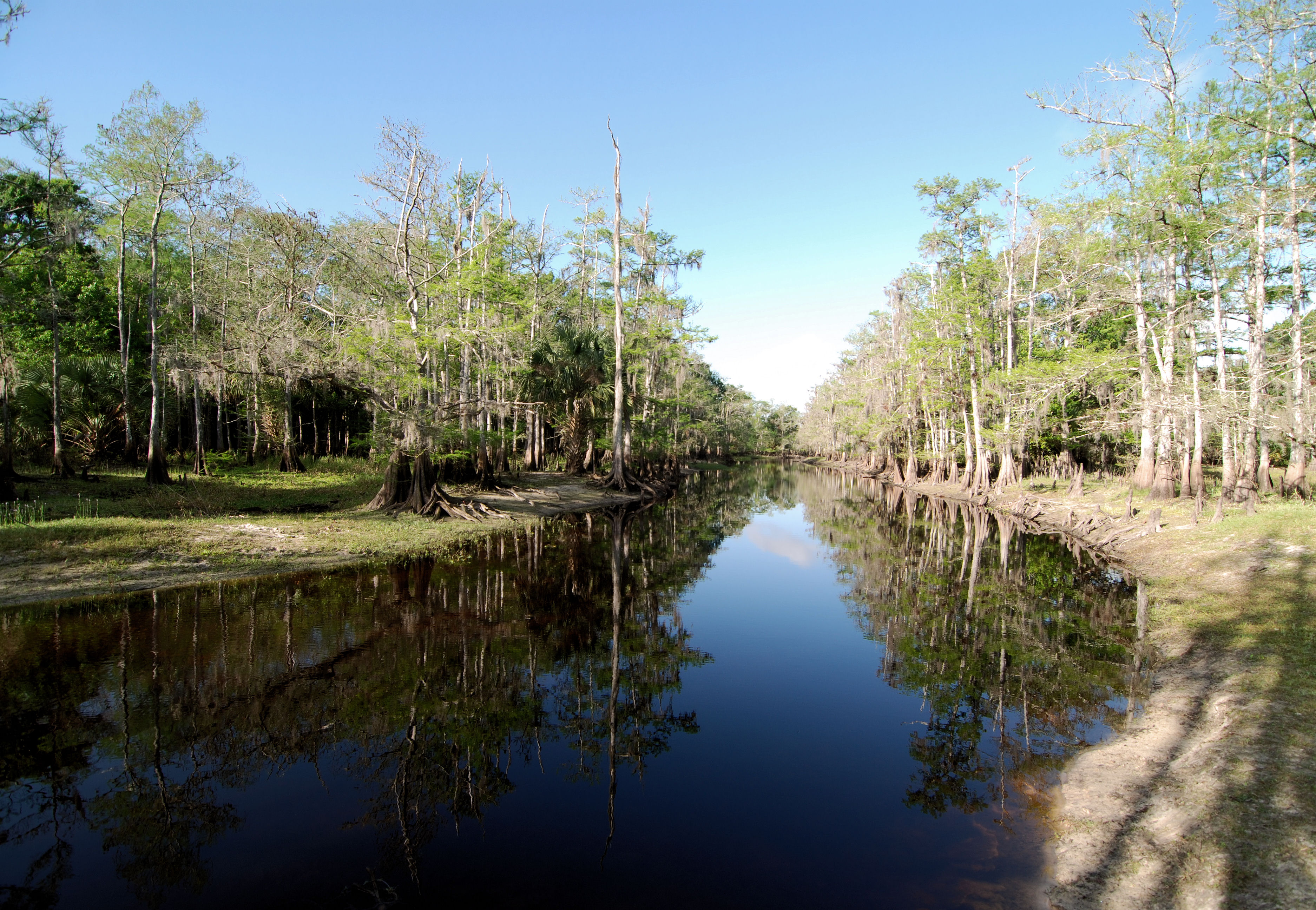
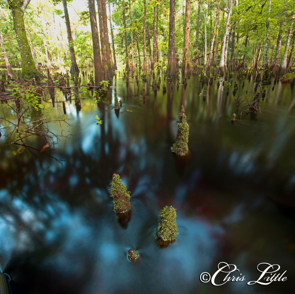
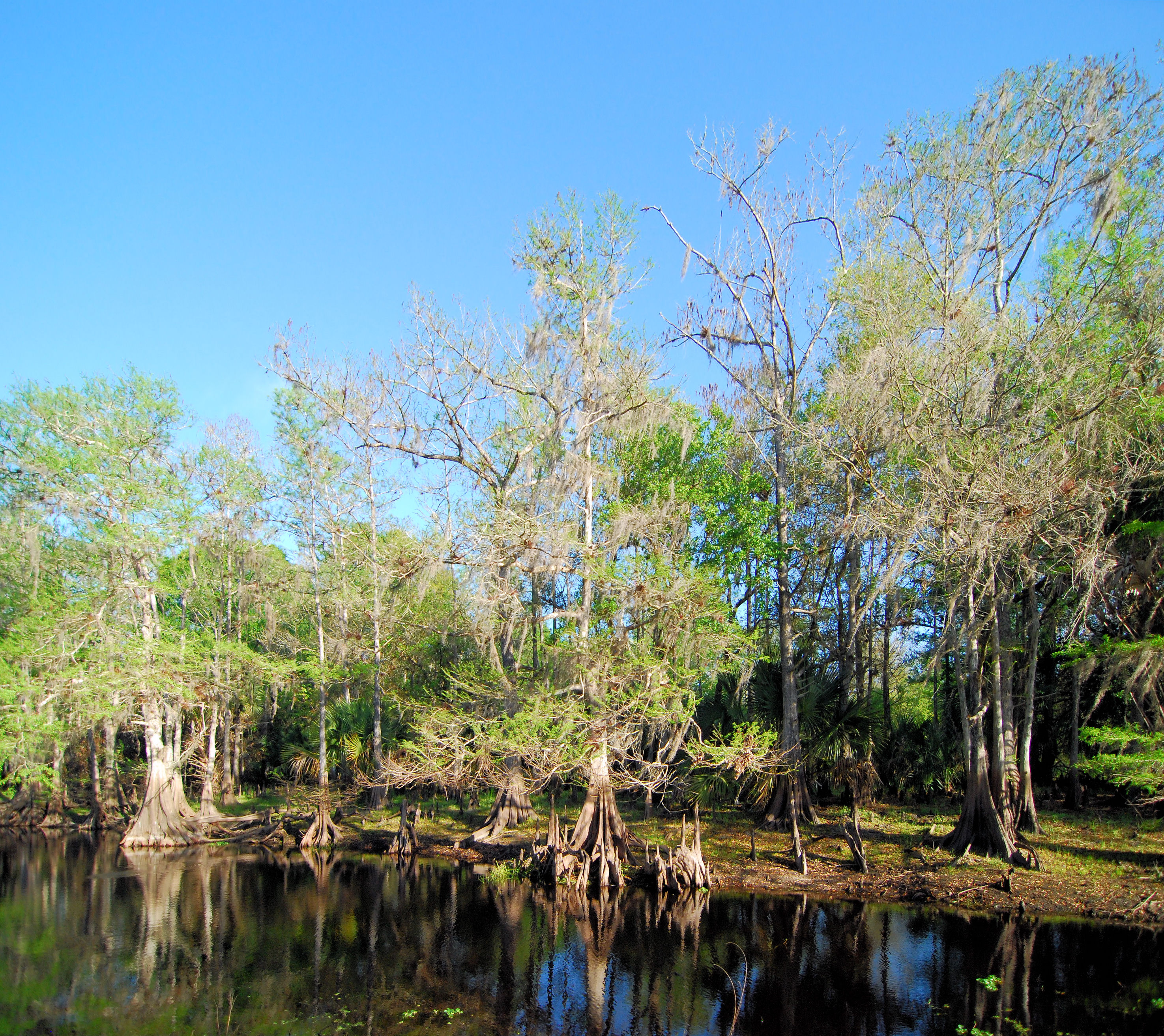
Blue Swamp
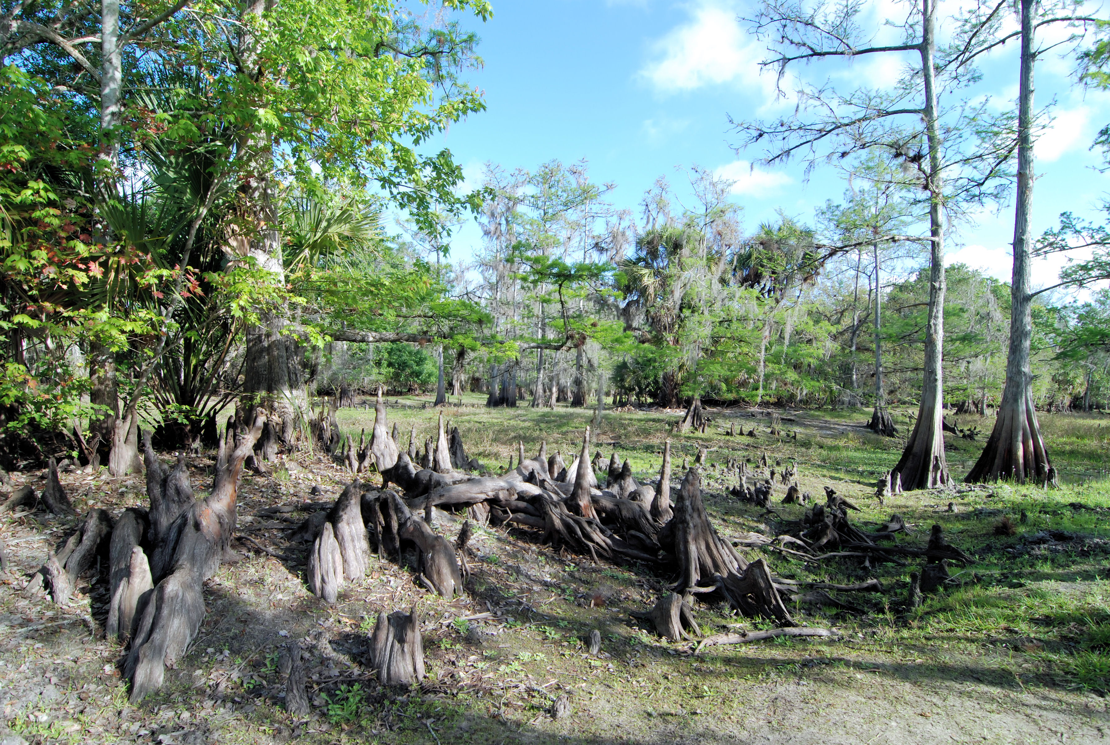
The Trees have Knees
Cypress Island
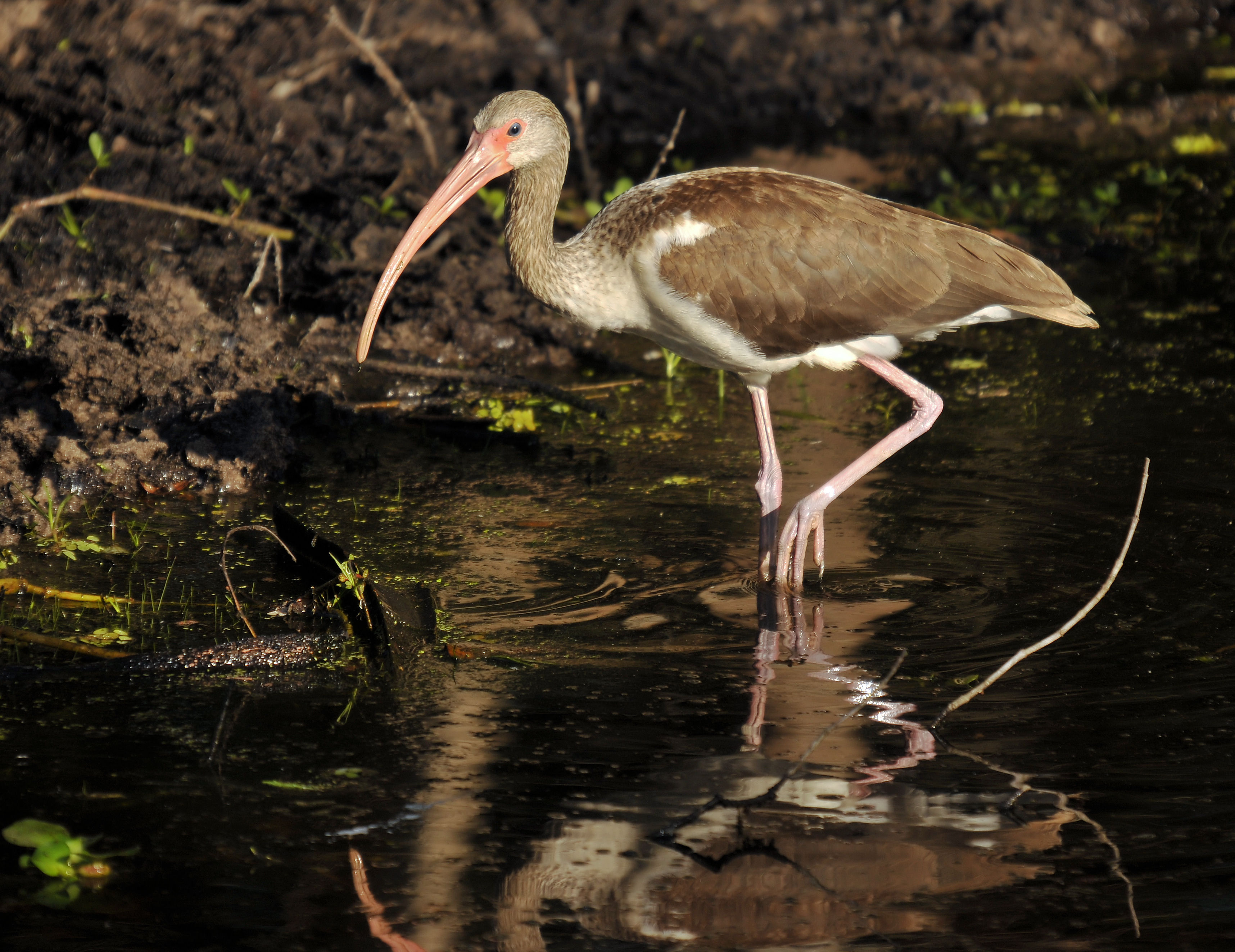
Fisheating Ibis
The Bogg
Deep Woods
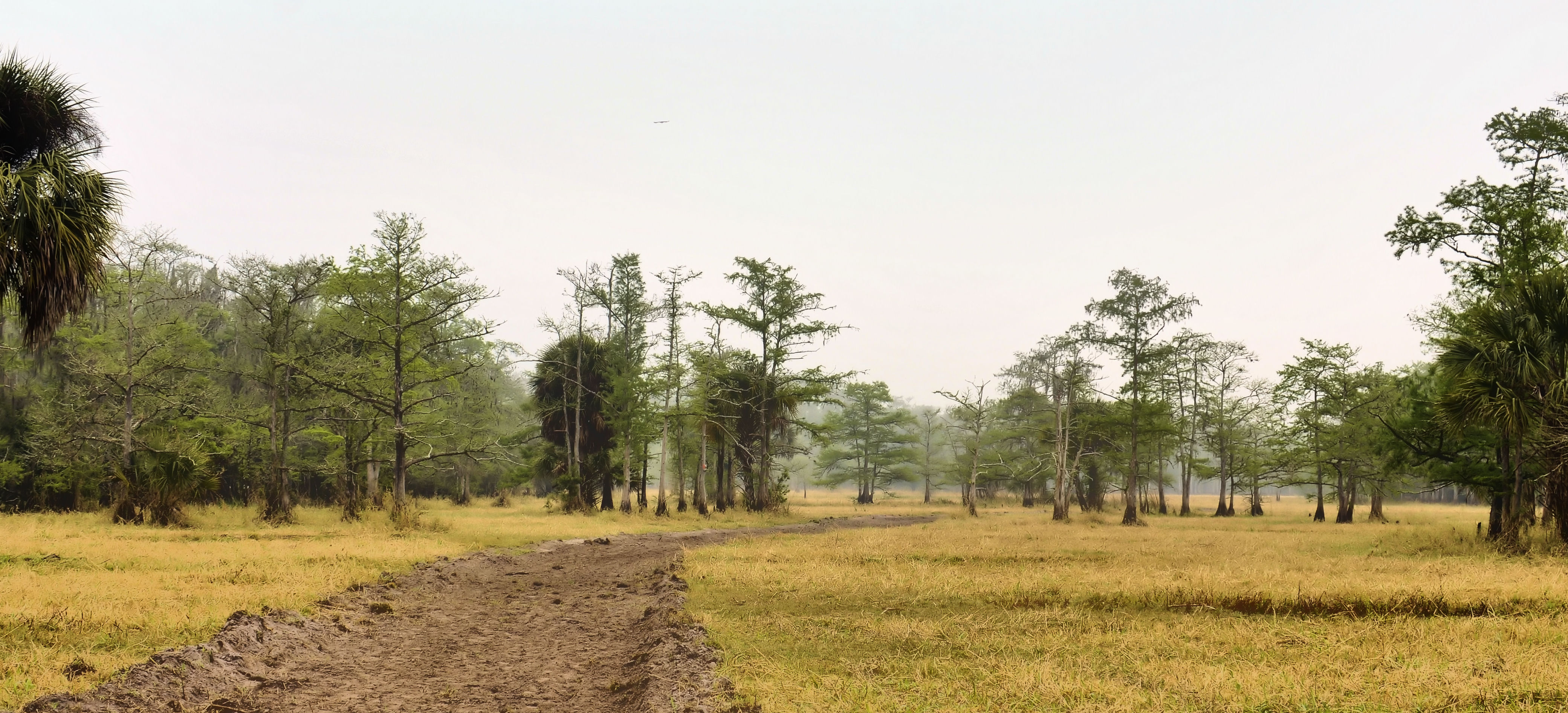
Tree Line
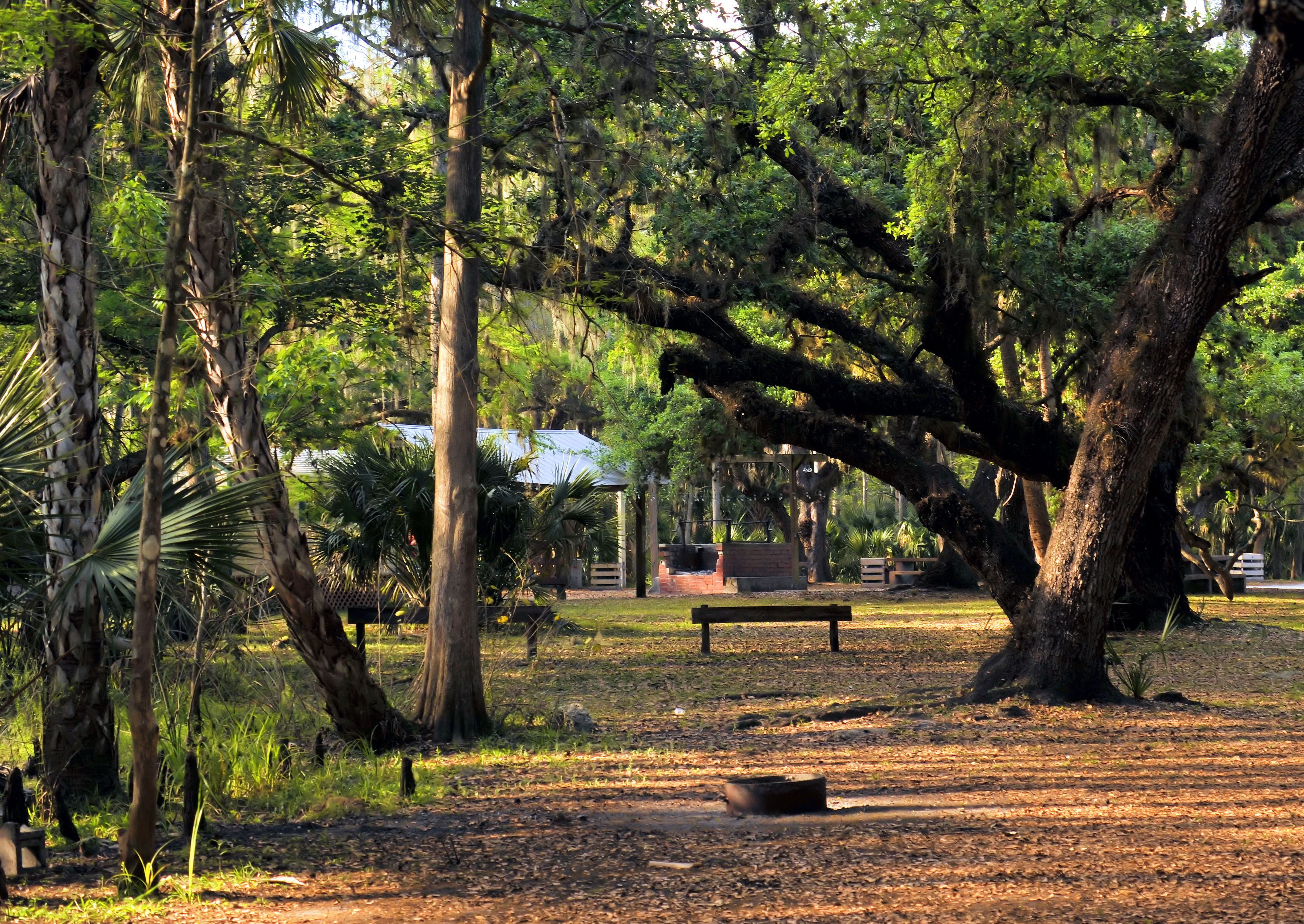
The Camp Ground
Enchanted Lands

If Ever Again

The Last To Know

The Subtle Touch

Not my best side Dude!

Another beautiful day

Morning in the greenbelt

Four-week-old wild turkey poults at Fisheating Creek in Glades County, Florida

Colors Of The Land

Panther Ecoscape
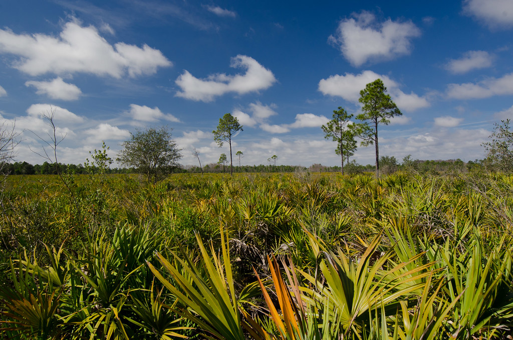
Panther Ecoscape
Sunset at Fisheating Creek

Paradise Is Here
278_Fisheating-Creek
Topographic Map of FL-78, Moore Haven, FL, USA
Find elevation by address:

Places near FL-78, Moore Haven, FL, USA:
Williams Rd, Moore Haven, FL, USA
FL-80, Moore Haven, FL, USA
Sherwood Circle
1195 Horseshoe Loop
327 Charles Duke Pl
4058 E Sunflower Cir
2002 Fl-80
Port Labelle
Beaumont Ln, LaBelle, FL, USA
3014 Jamestown Rd
Labelle
608 Elizabeth St
1035 Fl-29
4th Avenue
900 Aqua Isles Blvd
1951 W Hickpochee Ave
391 Caloosa Estates Dr
Fort Denaud, FL, USA
2512 Caloosa Shores Dr
Fort Denaud
Recent Searches:
- Elevation of Corso Fratelli Cairoli, 35, Macerata MC, Italy
- Elevation of Tallevast Rd, Sarasota, FL, USA
- Elevation of 4th St E, Sonoma, CA, USA
- Elevation of Black Hollow Rd, Pennsdale, PA, USA
- Elevation of Oakland Ave, Williamsport, PA, USA
- Elevation of Pedrógão Grande, Portugal
- Elevation of Klee Dr, Martinsburg, WV, USA
- Elevation of Via Roma, Pieranica CR, Italy
- Elevation of Tavkvetili Mountain, Georgia
- Elevation of Hartfords Bluff Cir, Mt Pleasant, SC, USA