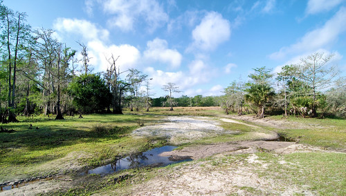
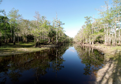
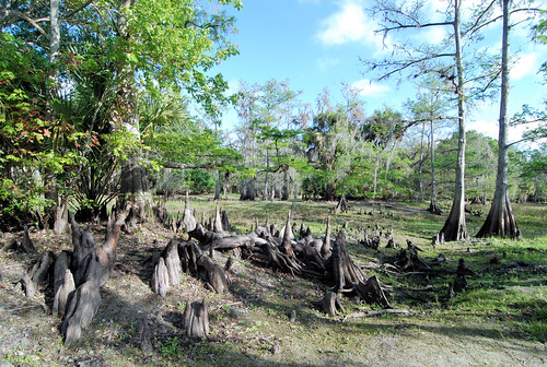
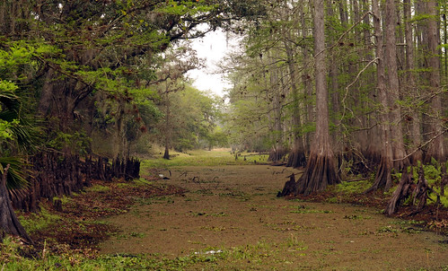
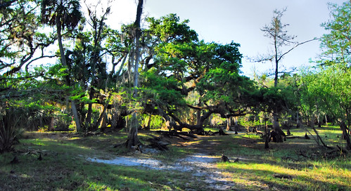
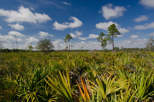
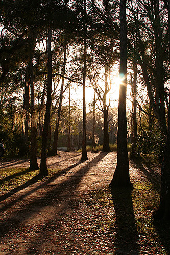
Elevation of Williams Rd, Moore Haven, FL, USA
Location: United States > Florida > Glades County > Moore Haven >
Longitude: -81.300372
Latitude: 26.800047
Elevation: 5m / 16feet
Barometric Pressure: 101KPa
Related Photos:
Topographic Map of Williams Rd, Moore Haven, FL, USA
Find elevation by address:

Places near Williams Rd, Moore Haven, FL, USA:
FL-78, Moore Haven, FL, USA
FL-80, Moore Haven, FL, USA
1195 Horseshoe Loop
327 Charles Duke Pl
Sherwood Circle
4058 E Sunflower Cir
2002 Fl-80
Port Labelle
Beaumont Ln, LaBelle, FL, USA
3014 Jamestown Rd
Labelle
608 Elizabeth St
1035 Fl-29
4th Avenue
900 Aqua Isles Blvd
1951 W Hickpochee Ave
391 Caloosa Estates Dr
2512 Caloosa Shores Dr
Fort Denaud, FL, USA
Fort Denaud
Recent Searches:
- Elevation of Corso Fratelli Cairoli, 35, Macerata MC, Italy
- Elevation of Tallevast Rd, Sarasota, FL, USA
- Elevation of 4th St E, Sonoma, CA, USA
- Elevation of Black Hollow Rd, Pennsdale, PA, USA
- Elevation of Oakland Ave, Williamsport, PA, USA
- Elevation of Pedrógão Grande, Portugal
- Elevation of Klee Dr, Martinsburg, WV, USA
- Elevation of Via Roma, Pieranica CR, Italy
- Elevation of Tavkvetili Mountain, Georgia
- Elevation of Hartfords Bluff Cir, Mt Pleasant, SC, USA


