Elevation of FL-78, Moore Haven, FL, USA
Location: United States > Florida > Glades County > Moore Haven >
Longitude: -81.088782
Latitude: 26.992409
Elevation: 5m / 16feet
Barometric Pressure: 101KPa
Elevation Map:
Satellite Map:
Related Photos:
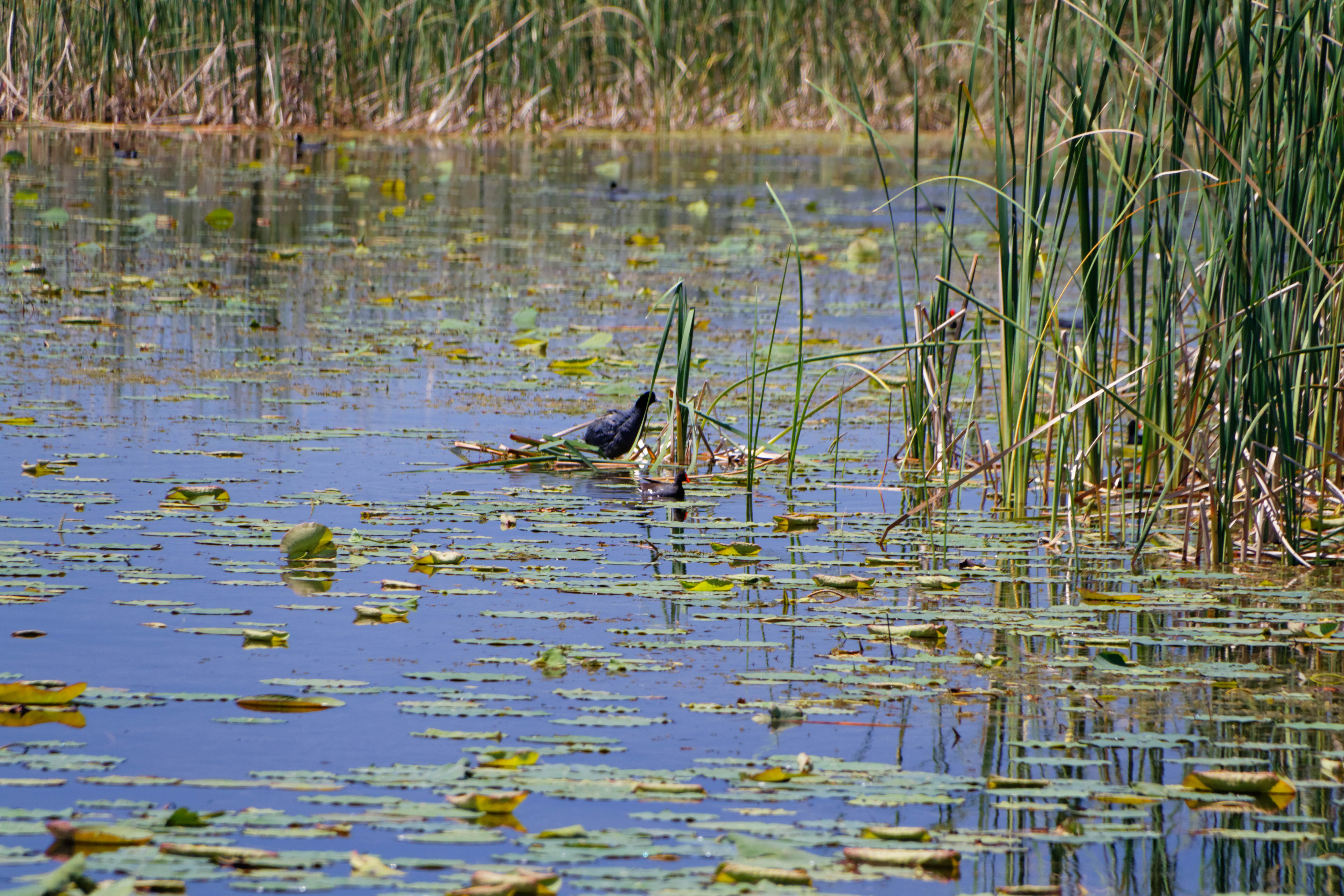
American Coot (Fulica americana)
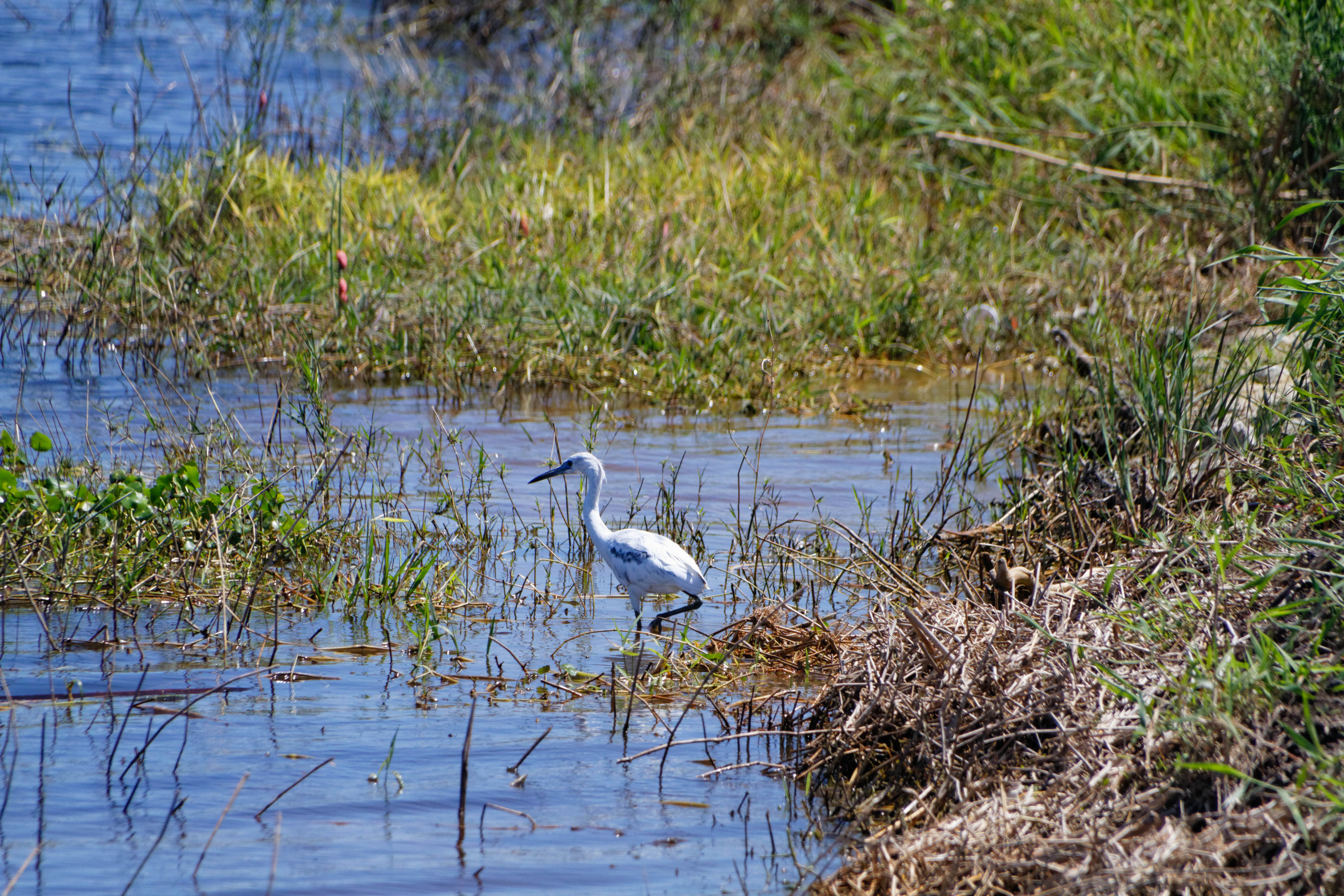
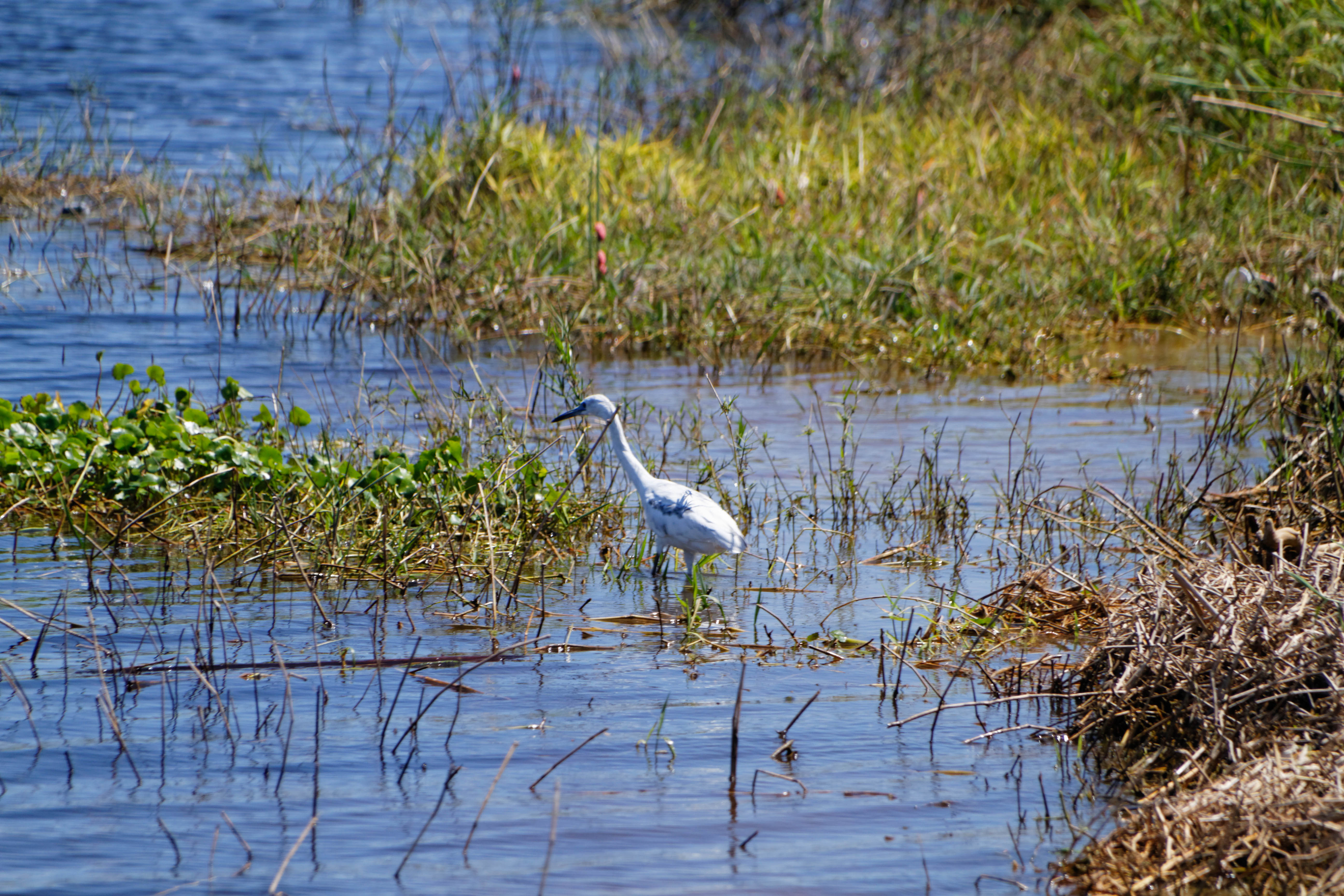
Snowy Egret (Egretta thula)

Snowy Egret (Egretta thula)

Lykes Ranch
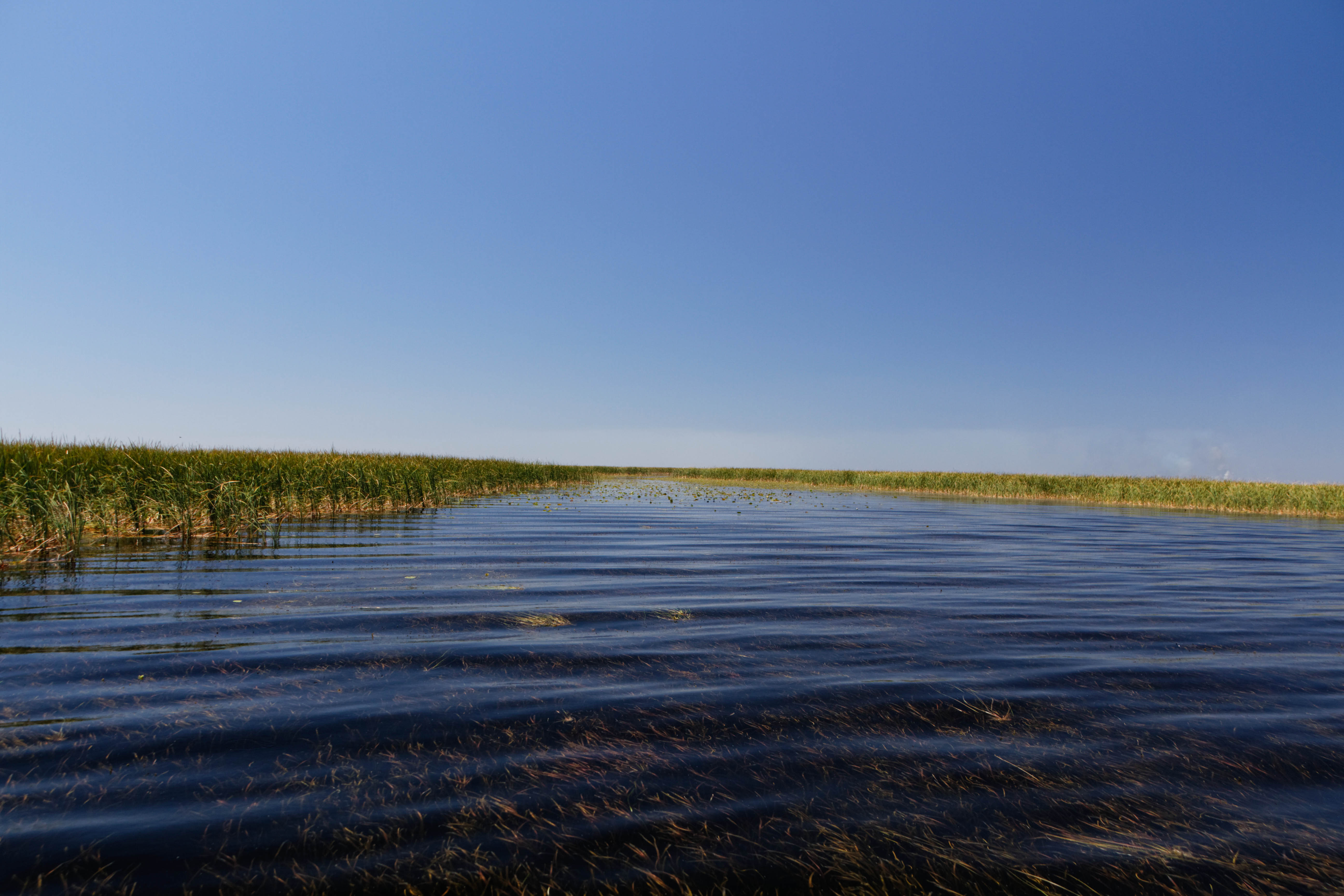
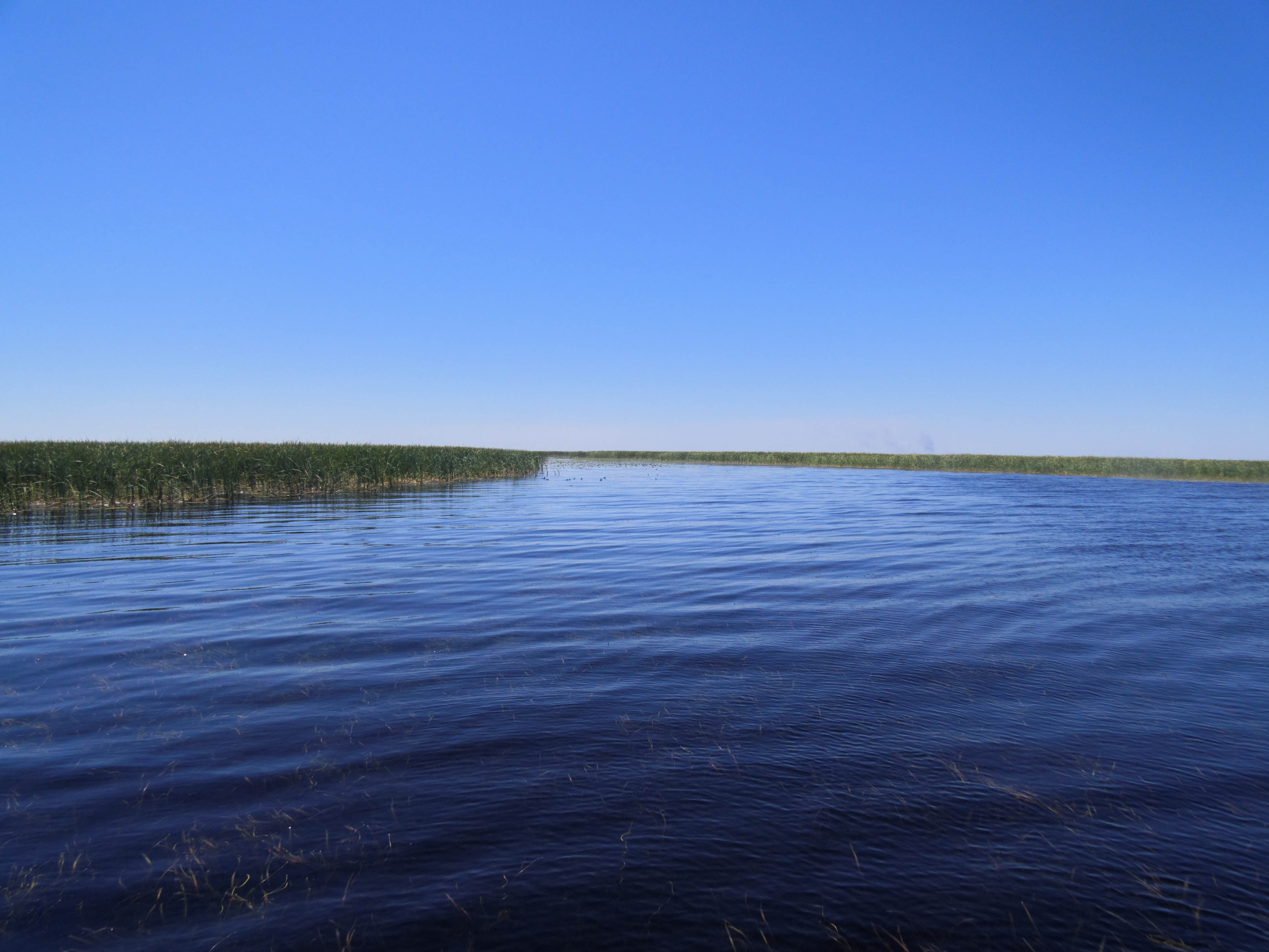
Lake Okeechobee
Great Blue Heron (Ardea herodias)

Lake Okeechobee Bass Fishing
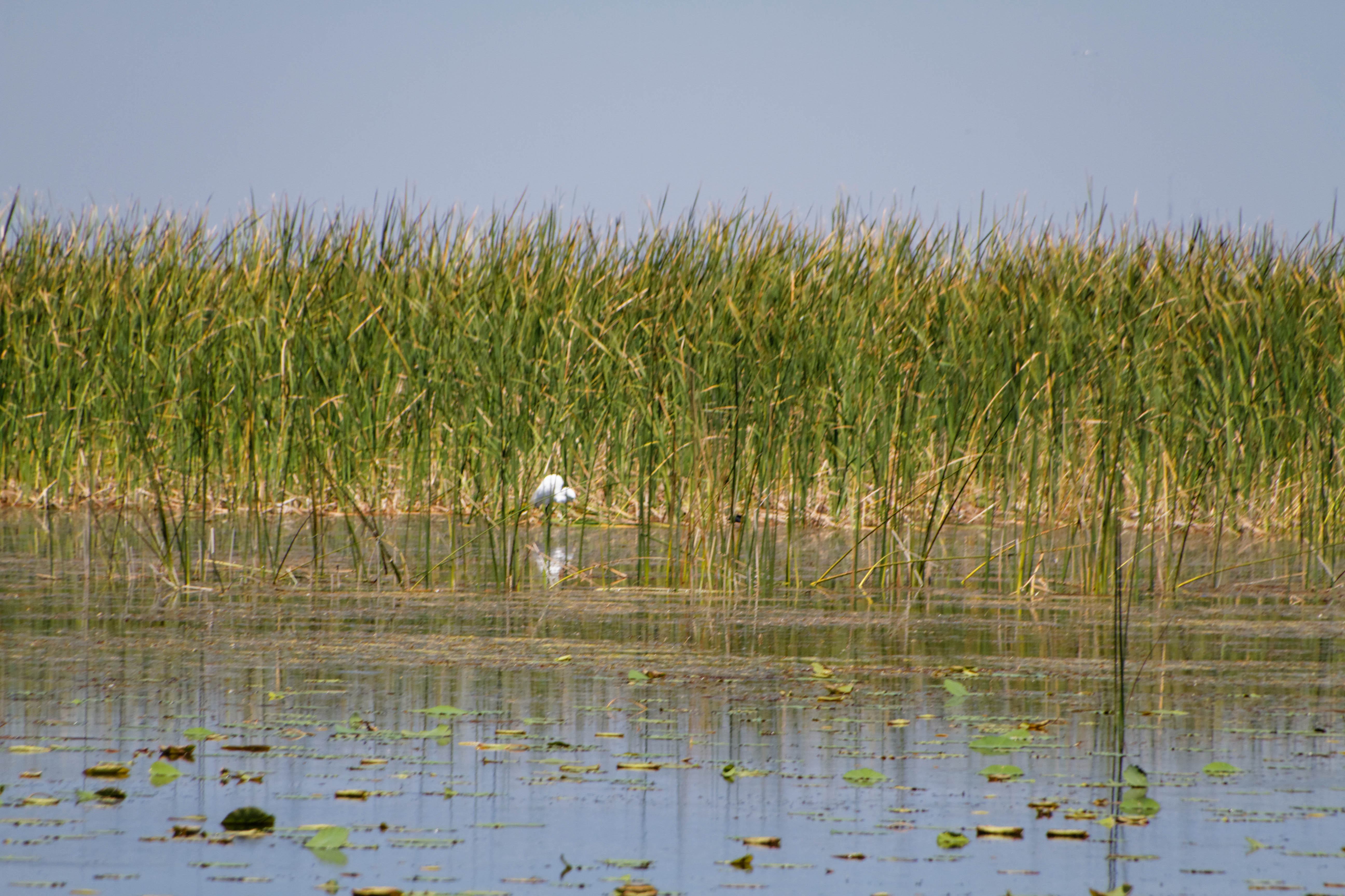
Great Egret (Ardea alba)
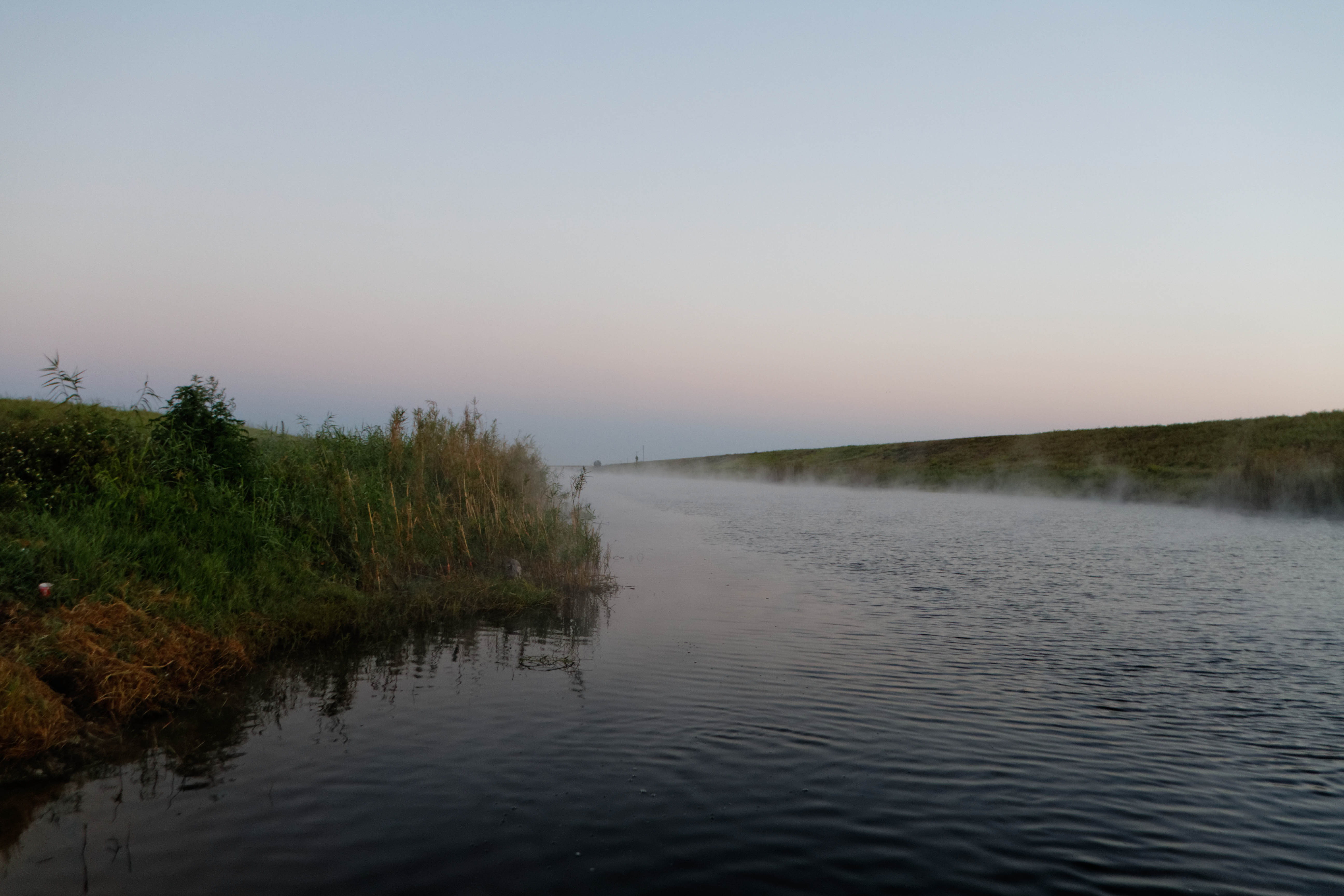
Lake Okeechobee Sunrise

Lake Okeechobee Sunrise
Snowy Egret (Egretta thula)

Lake Okeechobee Sunrise
Lake Okeechobee Bass Fishing
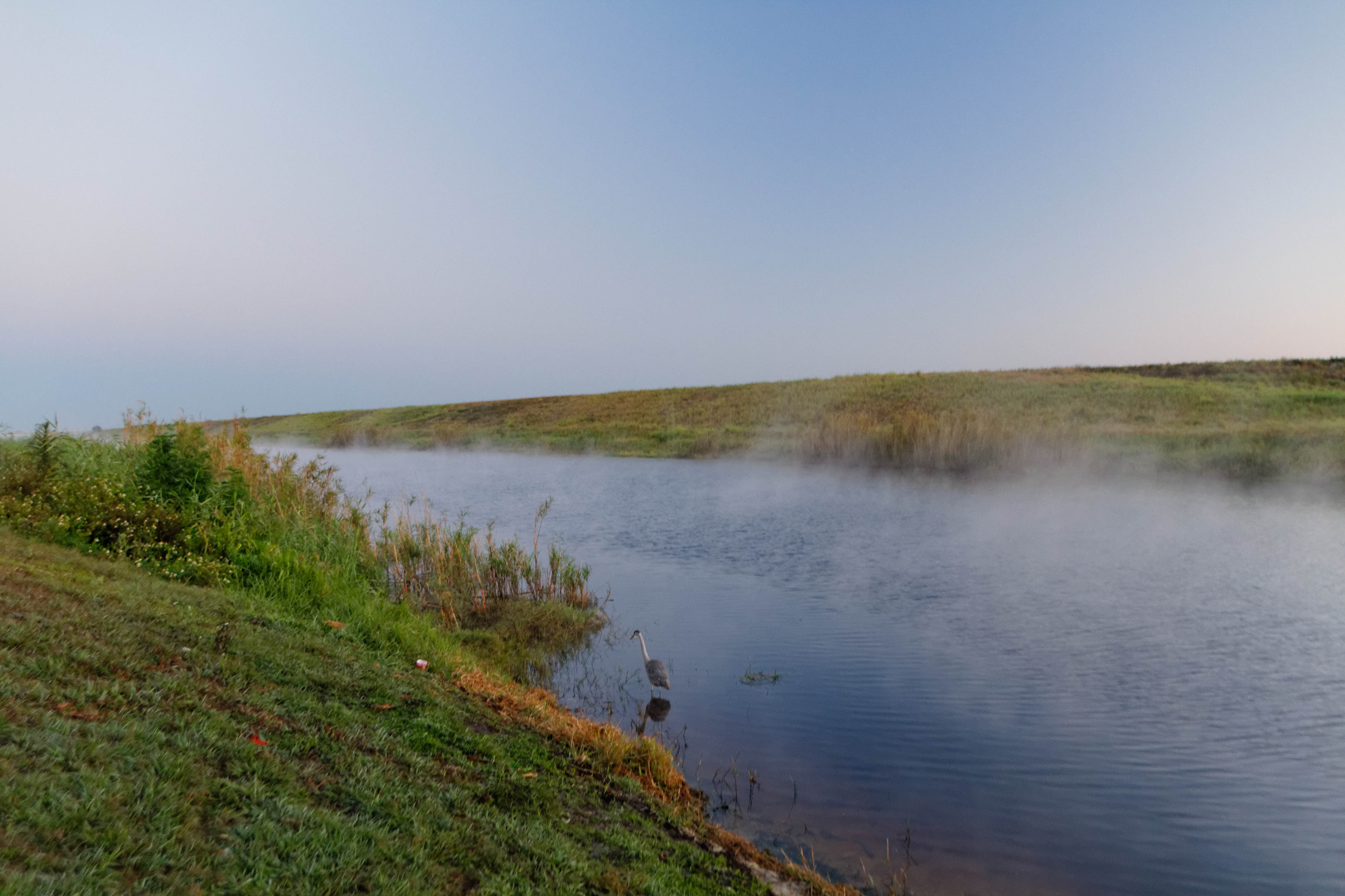
Great Blue Heron (Ardea herodias)

Great Blue Heron (Ardea herodias)

Great Egret (Ardea alba)
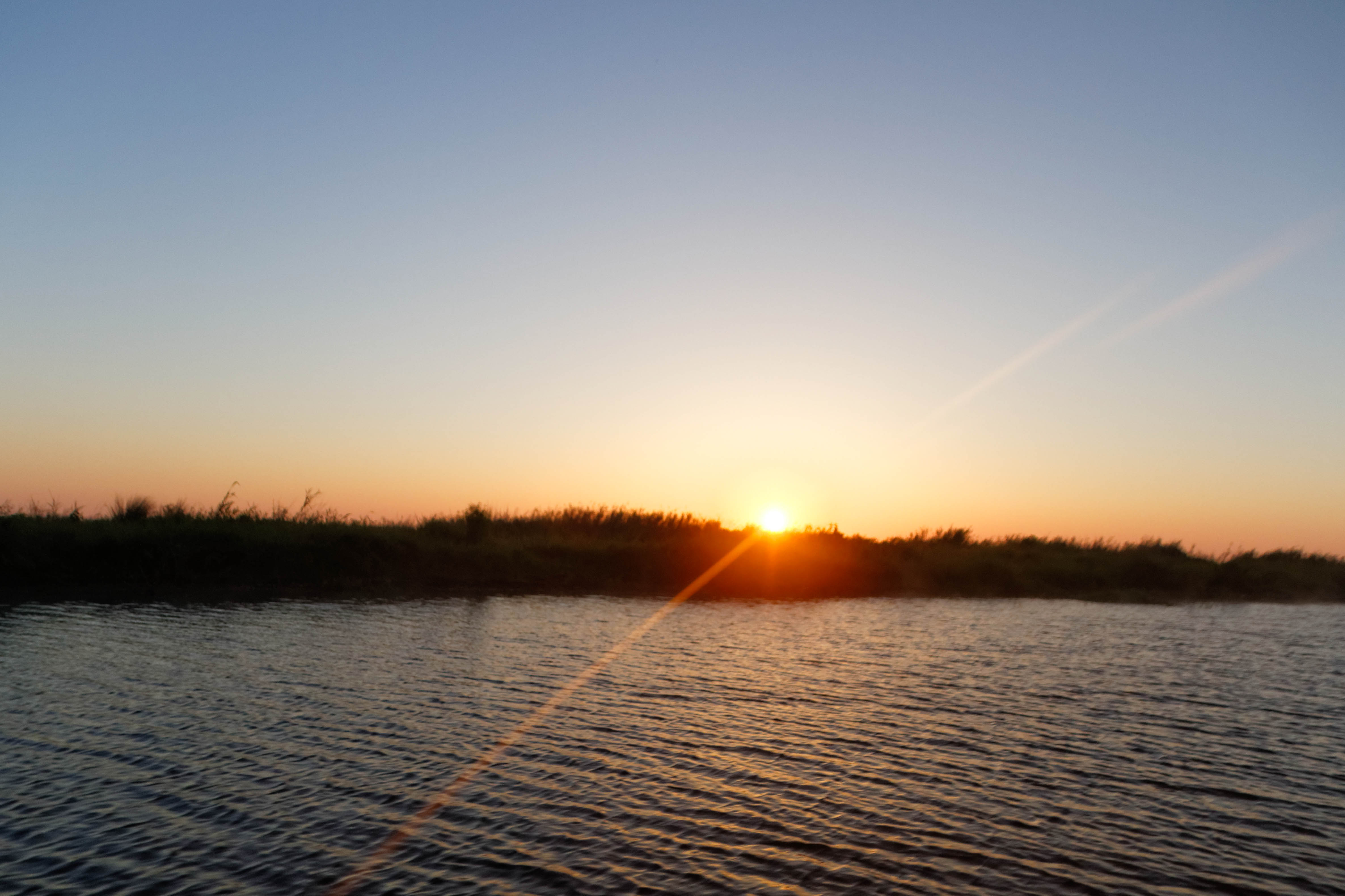
Lake Okeechobee Sunrise
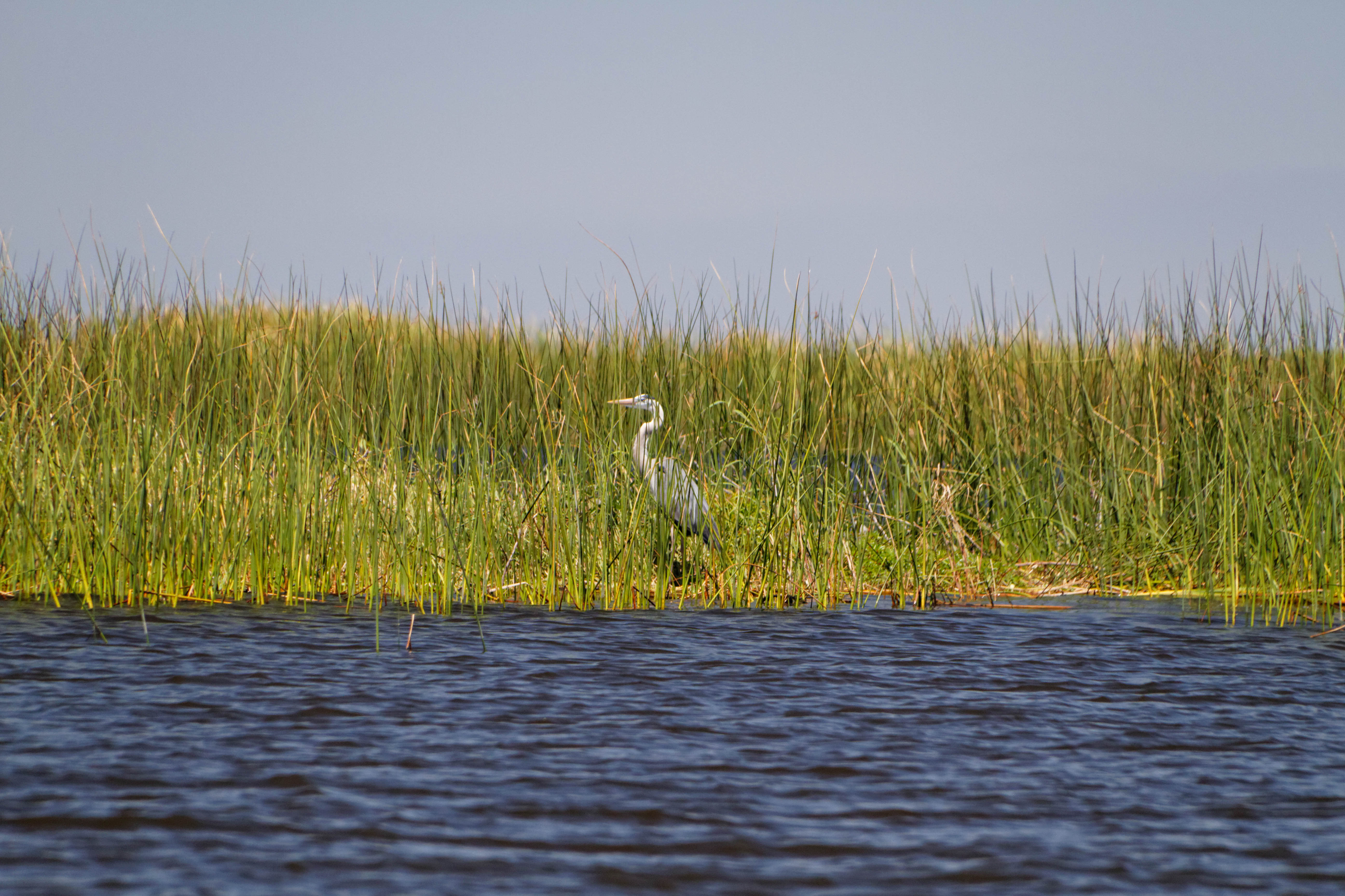
Great Blue Heron (Ardea herodias)
Lake Okeechobee Bass Fishing
Airboat and boat trail, Fisheating Creek
Topographic Map of FL-78, Moore Haven, FL, USA
Find elevation by address:

Places near FL-78, Moore Haven, FL, USA:
Glades County
99 Fl-78 7950 Fl
Fisherman's Ln NE, Okeechobee, FL, USA
1063 Mayford Lake Rd
1713 Daniels Rd
Moore Haven
2286 Riverside Dr
Okeechobee, FL, USA
Griffin Rd, Moore Haven, FL, USA
9640 U S Hwy N #27
FL-70, Okeechobee, FL, USA
Palmdale
Lake Dr W, Okeechobee, FL, USA
Buckhead Ridge
1701 Lake Dr
Shawnee Farms Rd, Moore Haven, FL, USA
1195 Horseshoe Loop
Venus
202 W Arcade Ave
202 W Arcade Ave
Recent Searches:
- Elevation of Corso Fratelli Cairoli, 35, Macerata MC, Italy
- Elevation of Tallevast Rd, Sarasota, FL, USA
- Elevation of 4th St E, Sonoma, CA, USA
- Elevation of Black Hollow Rd, Pennsdale, PA, USA
- Elevation of Oakland Ave, Williamsport, PA, USA
- Elevation of Pedrógão Grande, Portugal
- Elevation of Klee Dr, Martinsburg, WV, USA
- Elevation of Via Roma, Pieranica CR, Italy
- Elevation of Tavkvetili Mountain, Georgia
- Elevation of Hartfords Bluff Cir, Mt Pleasant, SC, USA