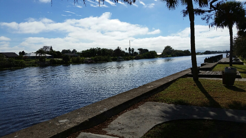
Elevation of Riverside Dr, Moore Haven, FL, USA
Location: United States > Florida > Glades County > Moore Haven >
Longitude: -81.1104
Latitude: 26.810006
Elevation: 7m / 23feet
Barometric Pressure: 101KPa
Elevation Map:
Satellite Map:
Related Photos:

County Road 720

Sugar Daddy

Afternoon Sugar....
2016-01-09 00.03.51
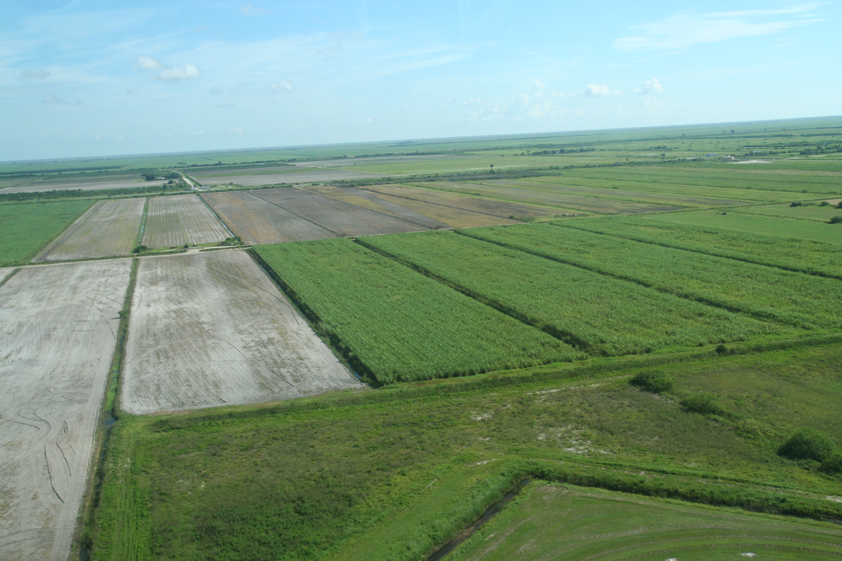
Shortly after takeoff from Clewiston
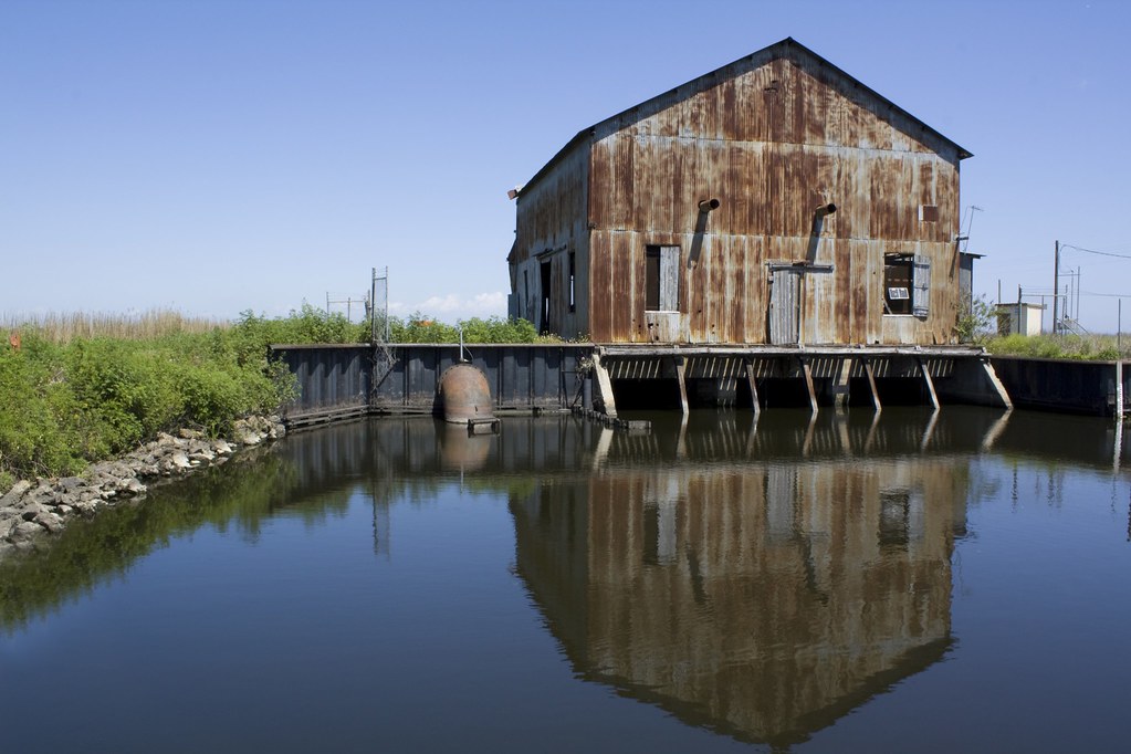
pump house

IMG_0267.JPG

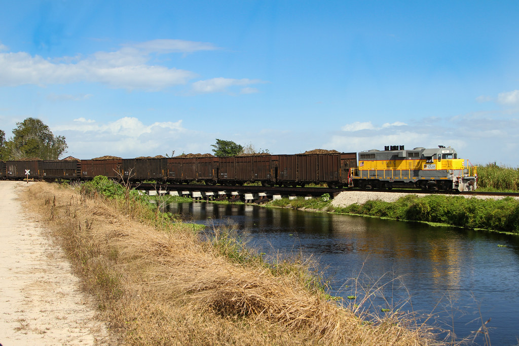
deserted rail
#photo #tagged to Team #airboataddicts by and go #follow #airboataddict @rkhowell91 A #sundayfunday TB out on the #airboat #fanboat #goodtimes on #observationisland on #lakeokeechobee #addicted #airboatlife #lakelife #goodtimes #nature #outdoors #ride2sli

IBIS NEAR MOORE HAVEN CITY HALL
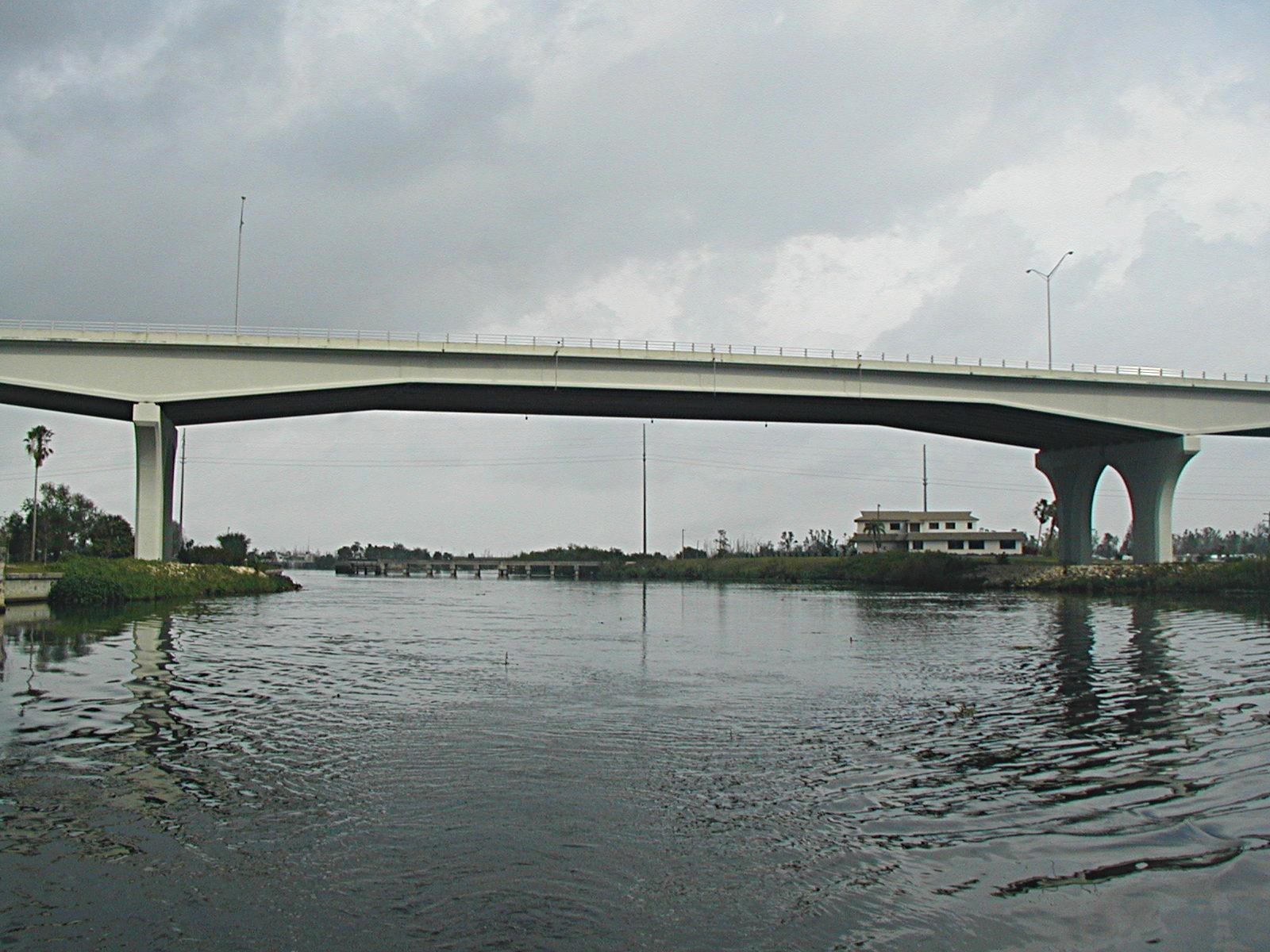
Moore Haven Bridge
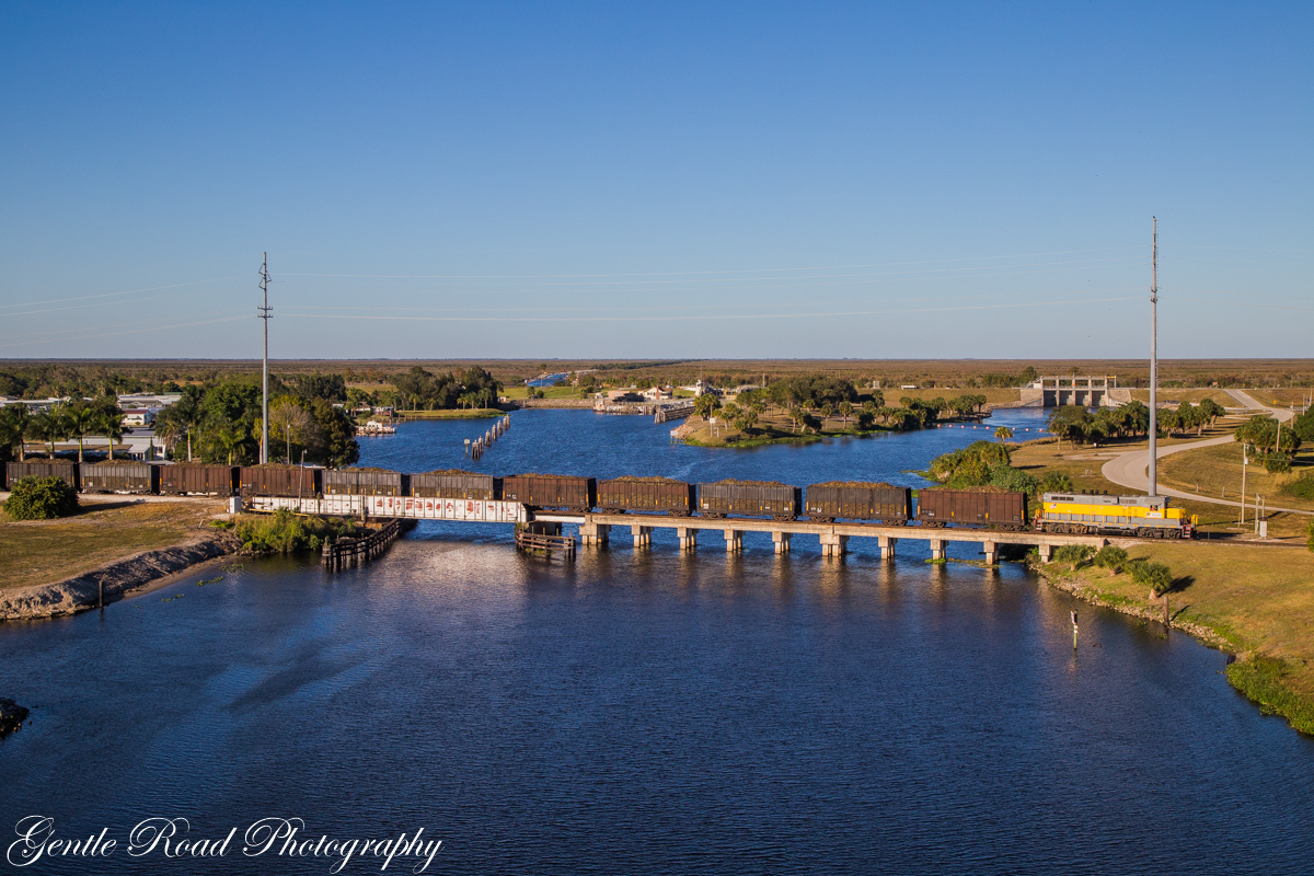
USSC 211 @ Clewiston
2016-01-09 00.11.52
Moore Haven, FL
Topographic Map of Riverside Dr, Moore Haven, FL, USA
Find elevation by address:

Places near Riverside Dr, Moore Haven, FL, USA:
Moore Haven
1713 Daniels Rd
Griffin Rd, Moore Haven, FL, USA
1195 Horseshoe Loop
Shawnee Farms Rd, Moore Haven, FL, USA
1063 Mayford Lake Rd
1216 Carolina Ave
99 Fl-78 7950 Fl
Glades County
327 Charles Duke Pl
202 W Arcade Ave
202 W Arcade Ave
12777 Fl-78
Clewiston
202 E Sugarland Hwy
Williams Rd, Moore Haven, FL, USA
518 E Osceola Ave
645 E Del Monte Ave
Fisherman's Ln NE, Okeechobee, FL, USA
FL-80, Moore Haven, FL, USA
Recent Searches:
- Elevation of Corso Fratelli Cairoli, 35, Macerata MC, Italy
- Elevation of Tallevast Rd, Sarasota, FL, USA
- Elevation of 4th St E, Sonoma, CA, USA
- Elevation of Black Hollow Rd, Pennsdale, PA, USA
- Elevation of Oakland Ave, Williamsport, PA, USA
- Elevation of Pedrógão Grande, Portugal
- Elevation of Klee Dr, Martinsburg, WV, USA
- Elevation of Via Roma, Pieranica CR, Italy
- Elevation of Tavkvetili Mountain, Georgia
- Elevation of Hartfords Bluff Cir, Mt Pleasant, SC, USA