Elevation of Main St, Ferdinand, ID, USA
Location: United States > Idaho > Idaho County > Ferdinand >
Longitude: -116.3885548
Latitude: 46.1526441
Elevation: 1135m / 3724feet
Barometric Pressure: 0KPa
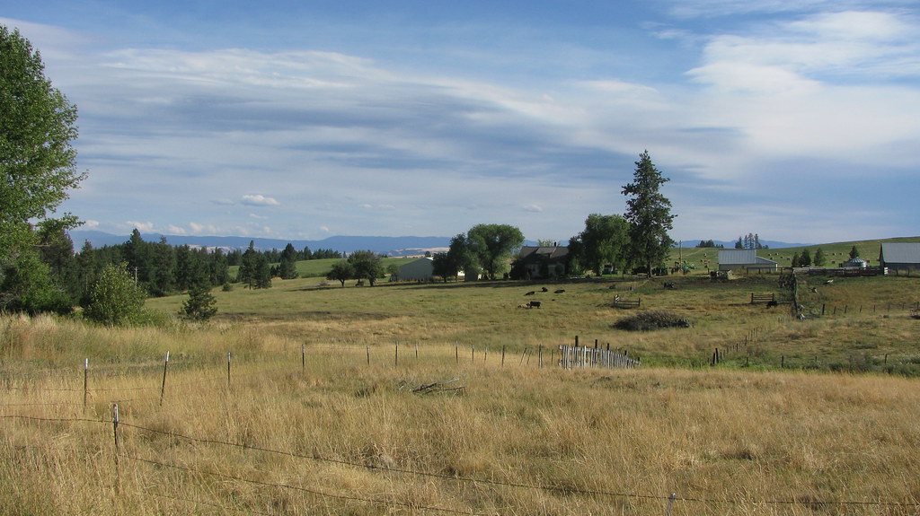
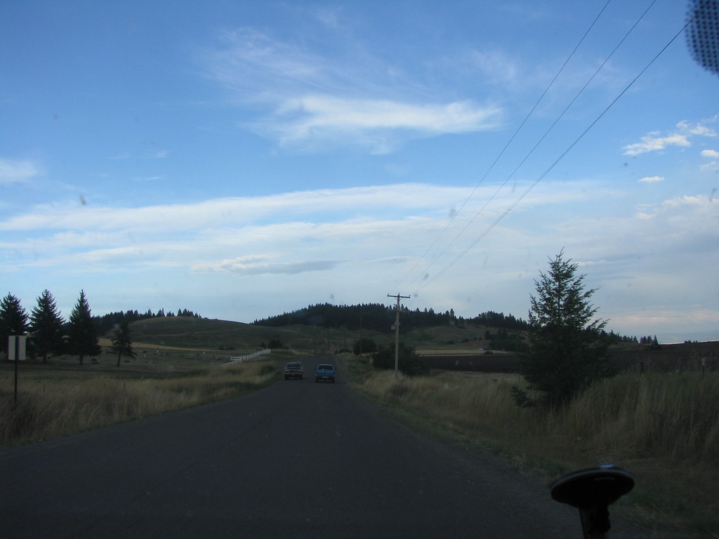
Related Photos:

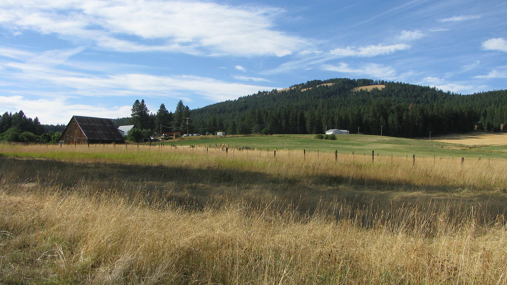
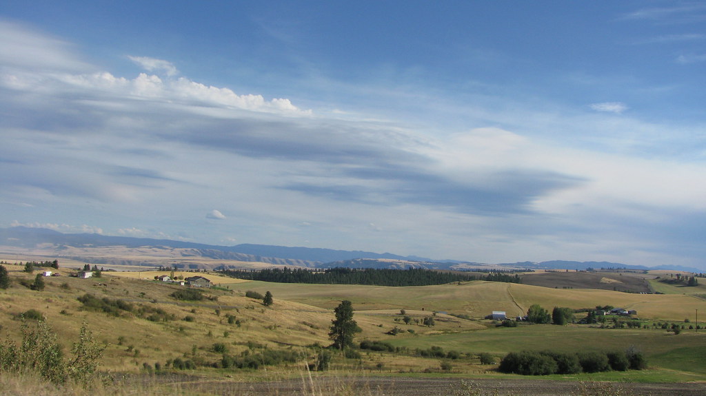
Nezperce, Idaho!

Pardon Me!

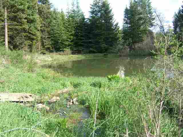
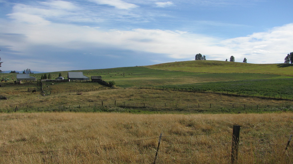
Following the Contours!

Flying Over the Hills!

Up in Smoke!
LEWISCLARK MLS#113514

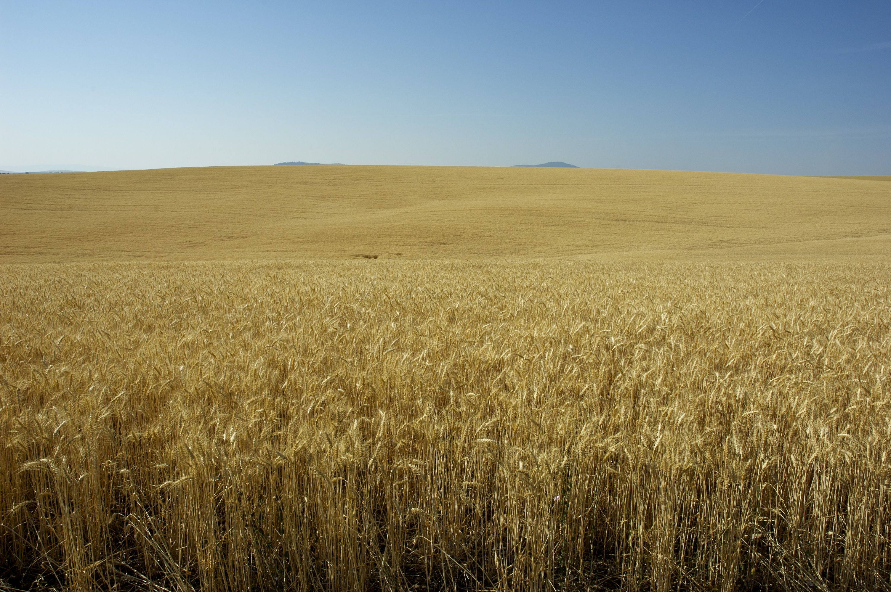
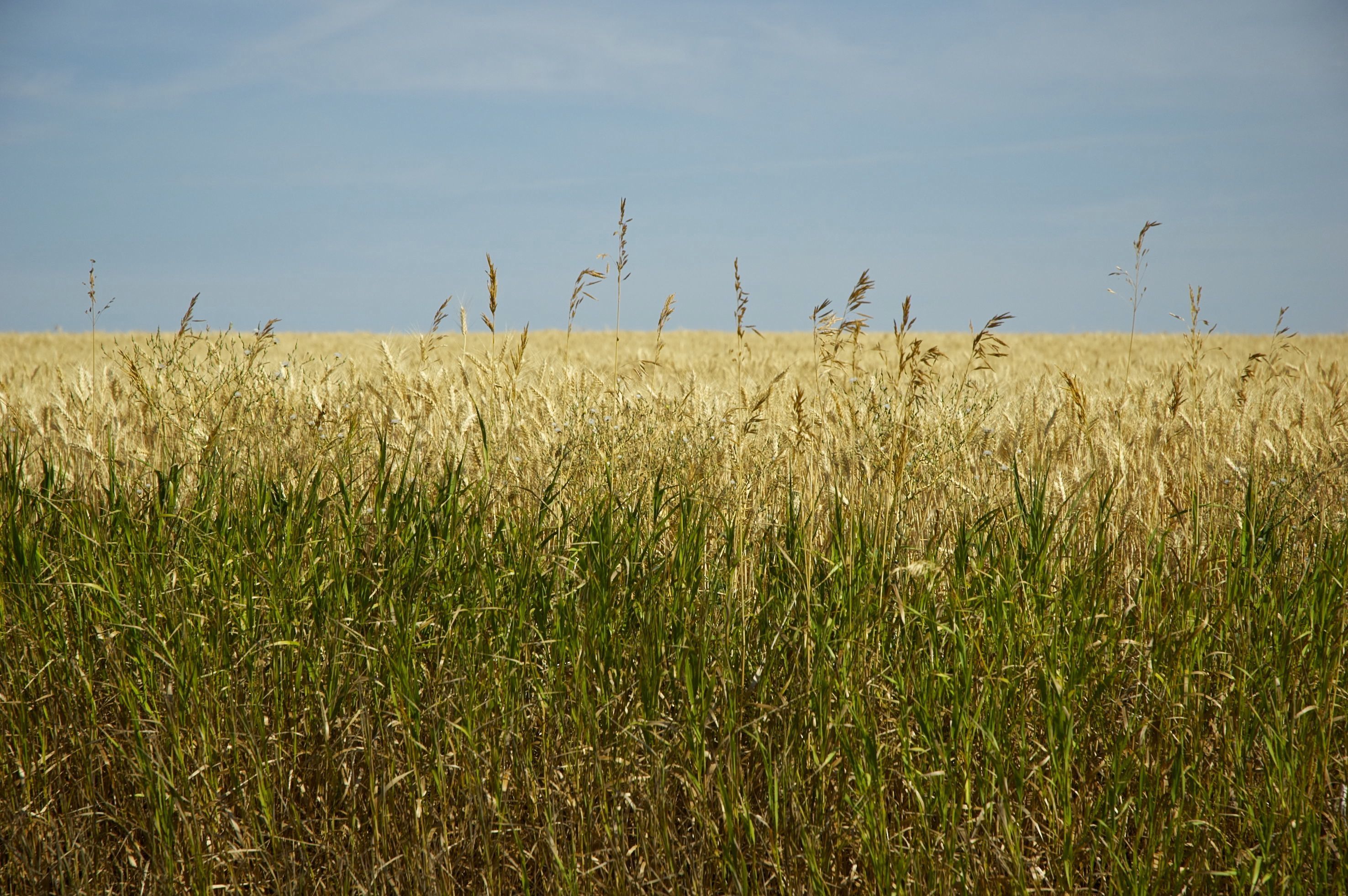
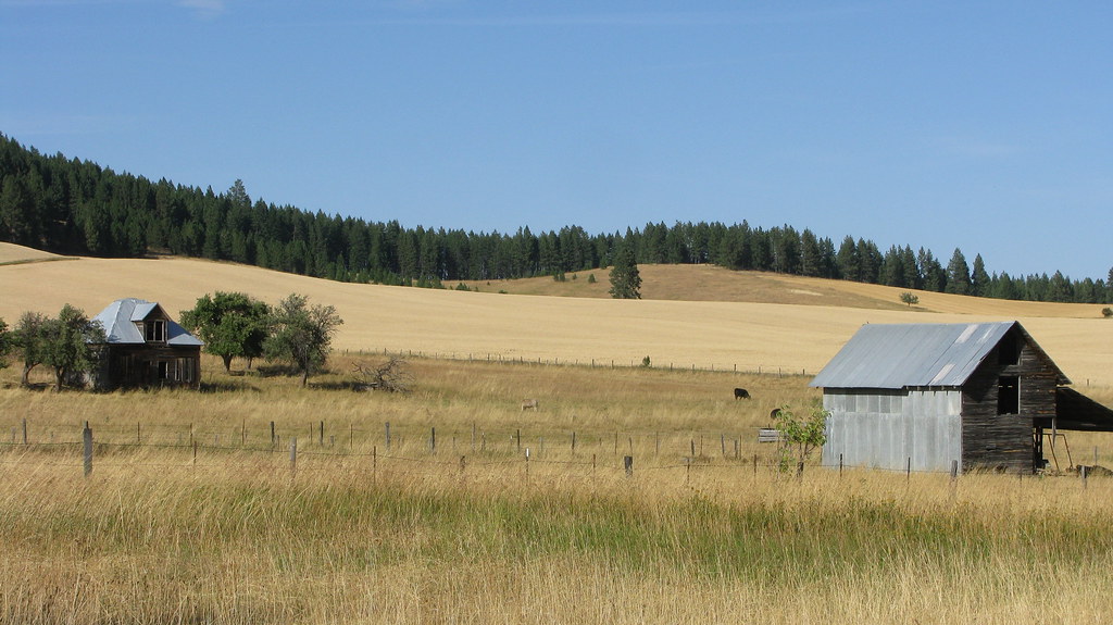
[IDAHO-J-0023] Nezperce Wheat Field
IMG_0960.JPG (2)

IMG_0957.JPG (2)

DSC_0262-a4

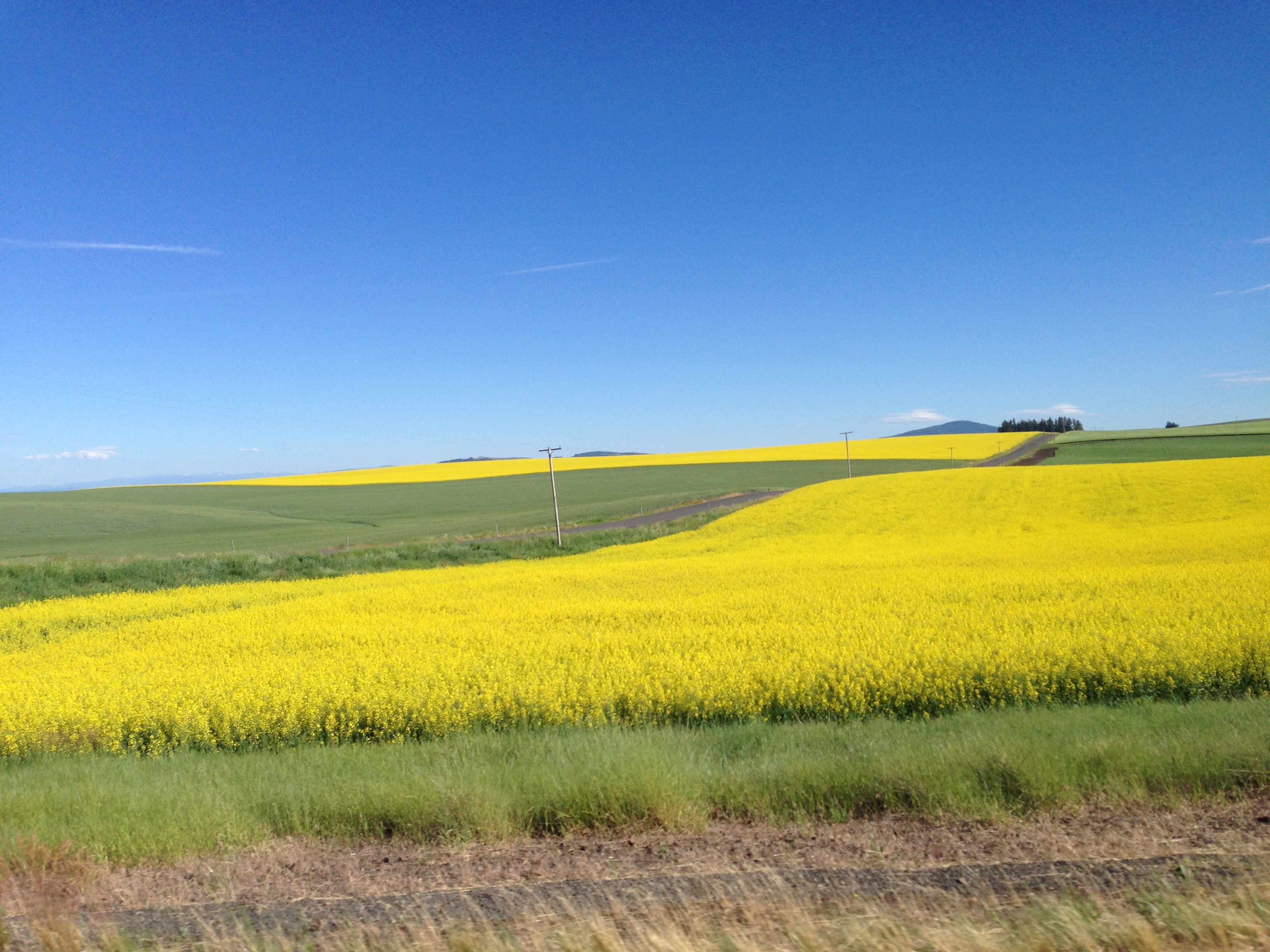
704-Canola plants.JPG (2)

IMG_0959.JPG (2)
DSC_0256-a2
...
...
DSC_0255-a1

DSC_0268-a5
...
...
...
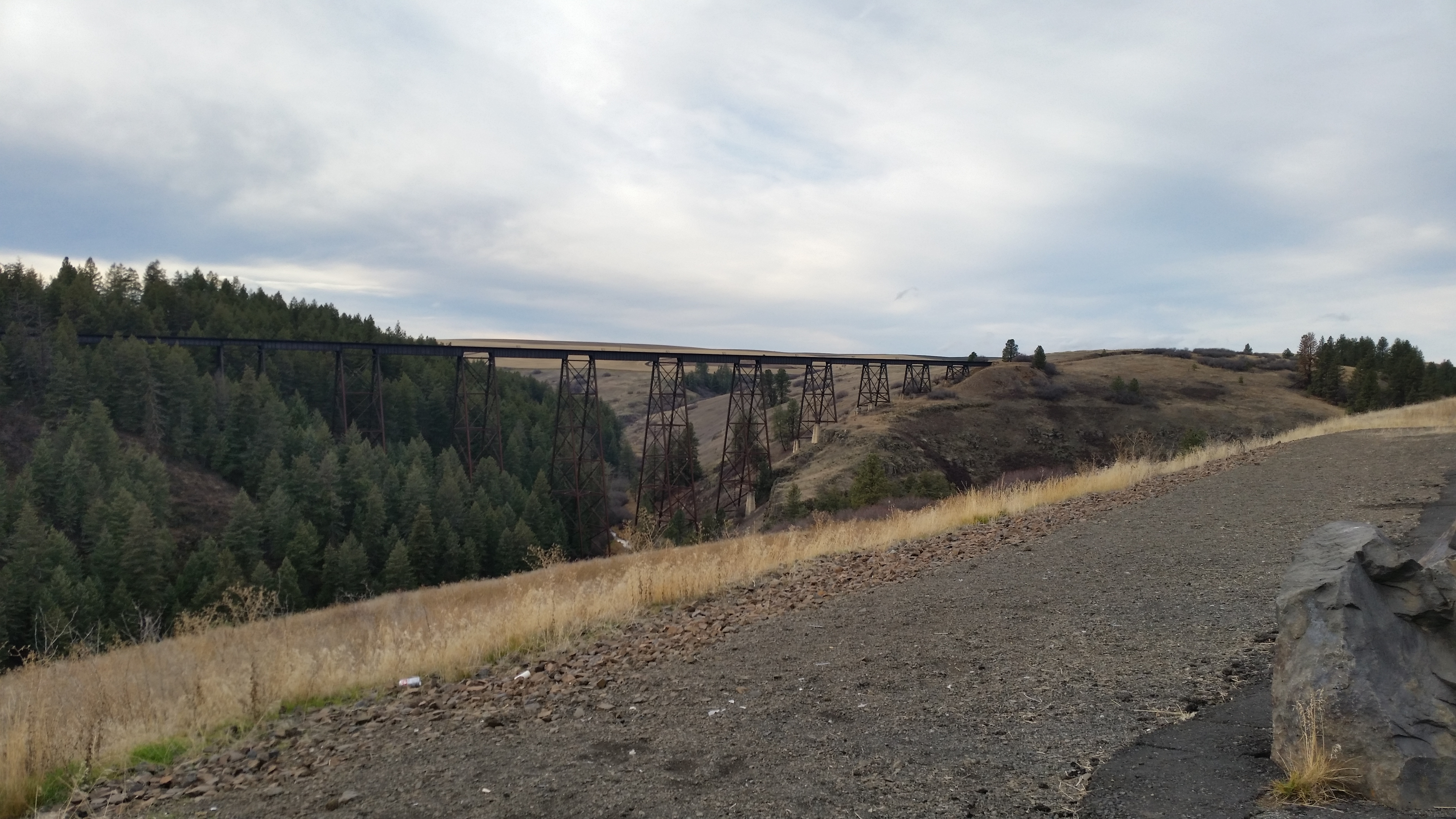
Railroad Trestles
...
Topographic Map of Main St, Ferdinand, ID, USA
Find elevation by address:

Places near Main St, Ferdinand, ID, USA:
Ferdinand
Cottonwood
Junction St, Cottonwood, ID, USA
Lewis County
Graves Creek Road
Fourth Ave, Nezperce, ID, USA
Nezperce
ID-, Kamiah, ID, USA
Winchester Lake State Park
Winchester
Forest Road
323 Winona Rd
1262 Thorn Springs Rd
441 Olander Rd
Canfield
2109 Id-11
Greer
Greer Grade Rd, Nezperce, ID, USA
Gold Wagon Drive
20 Fish Hatchery Rd
Recent Searches:
- Elevation of Dharamkot Tahsil, Punjab, India
- Elevation of Bhinder Khurd, Dharamkot Tahsil, Punjab, India
- Elevation of 2881, Chabot Drive, San Bruno, San Mateo County, California, 94066, USA
- Elevation of 10370, West 107th Circle, Westminster, Jefferson County, Colorado, 80021, USA
- Elevation of 611, Roman Road, Old Ford, Bow, London, England, E3 2RW, United Kingdom
- Elevation of 116, Beartown Road, Underhill, Chittenden County, Vermont, 05489, USA
- Elevation of Window Rock, Colfax County, New Mexico, 87714, USA
- Elevation of 4807, Rosecroft Street, Kempsville Gardens, Virginia Beach, Virginia, 23464, USA
- Elevation map of Matawinie, Quebec, Canada
- Elevation of Sainte-Émélie-de-l'Énergie, Matawinie, Quebec, Canada
- Elevation of Rue du Pont, Sainte-Émélie-de-l'Énergie, Matawinie, Quebec, J0K2K0, Canada
- Elevation of 8, Rue de Bécancour, Blainville, Thérèse-De Blainville, Quebec, J7B1N2, Canada
- Elevation of Wilmot Court North, 163, University Avenue West, Northdale, Waterloo, Region of Waterloo, Ontario, N2L6B6, Canada
- Elevation map of Panamá Province, Panama
- Elevation of Balboa, Panamá Province, Panama
- Elevation of San Miguel, Balboa, Panamá Province, Panama
- Elevation of Isla Gibraleón, San Miguel, Balboa, Panamá Province, Panama
- Elevation of 4655, Krischke Road, Schulenburg, Fayette County, Texas, 78956, USA
- Elevation of Carnegie Avenue, Downtown Cleveland, Cleveland, Cuyahoga County, Ohio, 44115, USA
- Elevation of Walhonding, Coshocton County, Ohio, USA