Elevation of Ferdinand, ID, USA
Location: United States > Idaho > Idaho County >
Longitude: -116.38931
Latitude: 46.1523849
Elevation: 1133m / 3717feet
Barometric Pressure: 88KPa
Elevation Map:
Satellite Map:
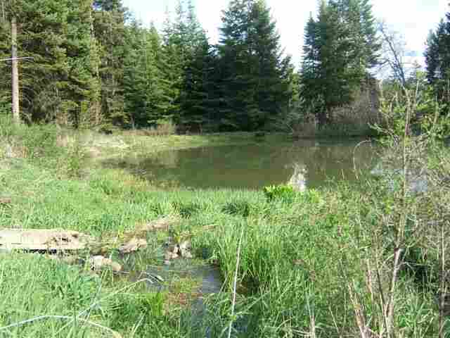
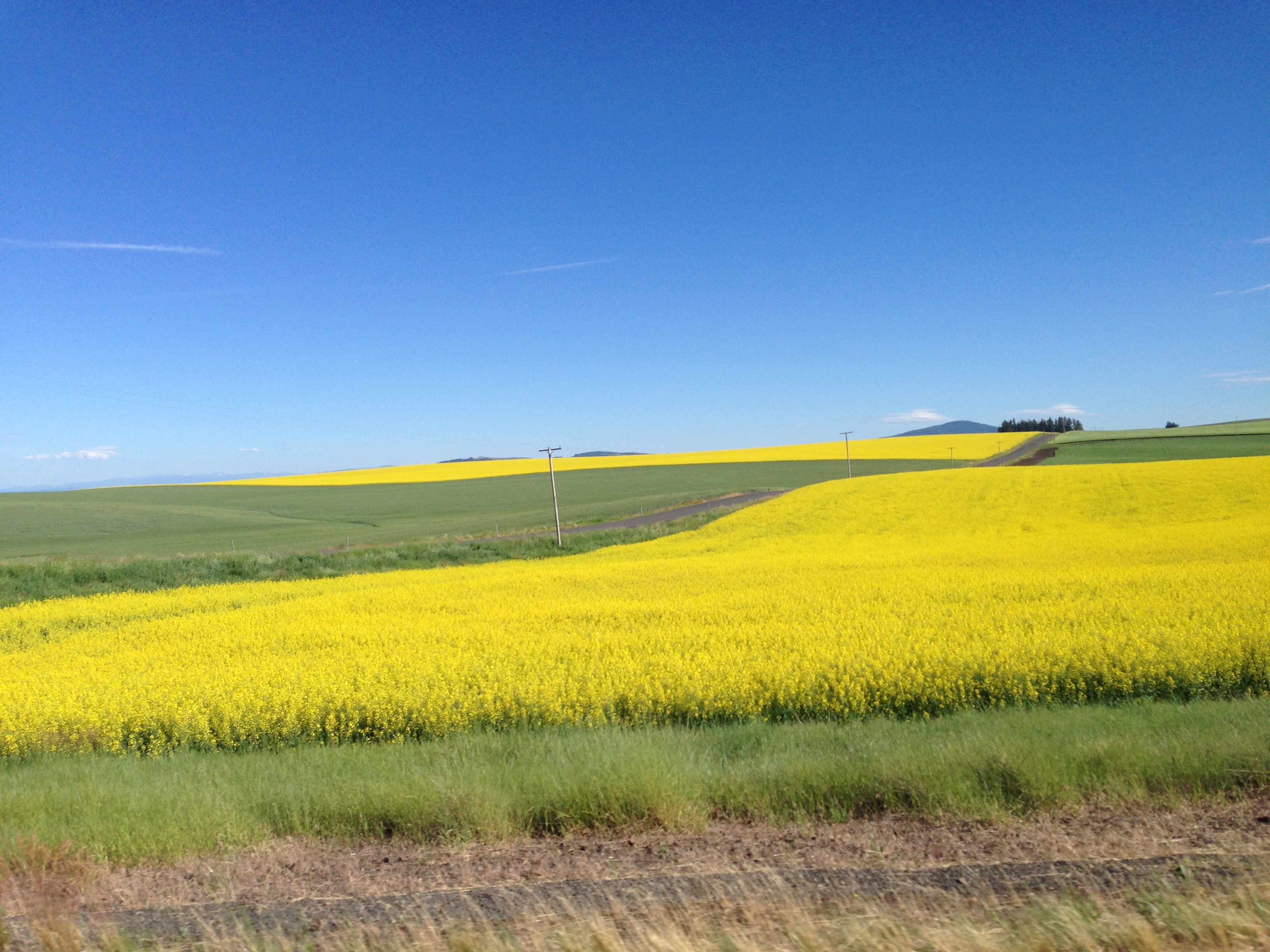
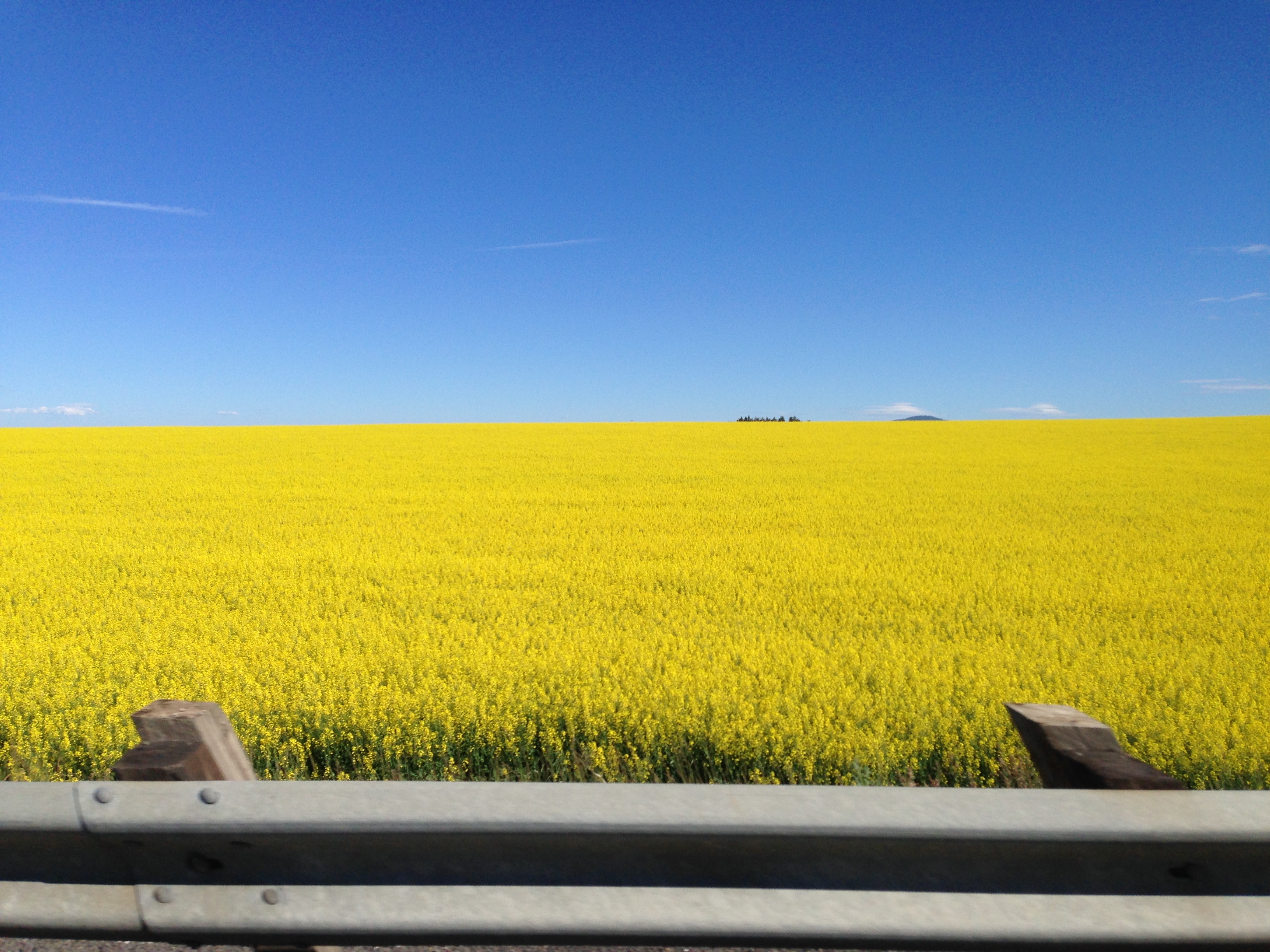
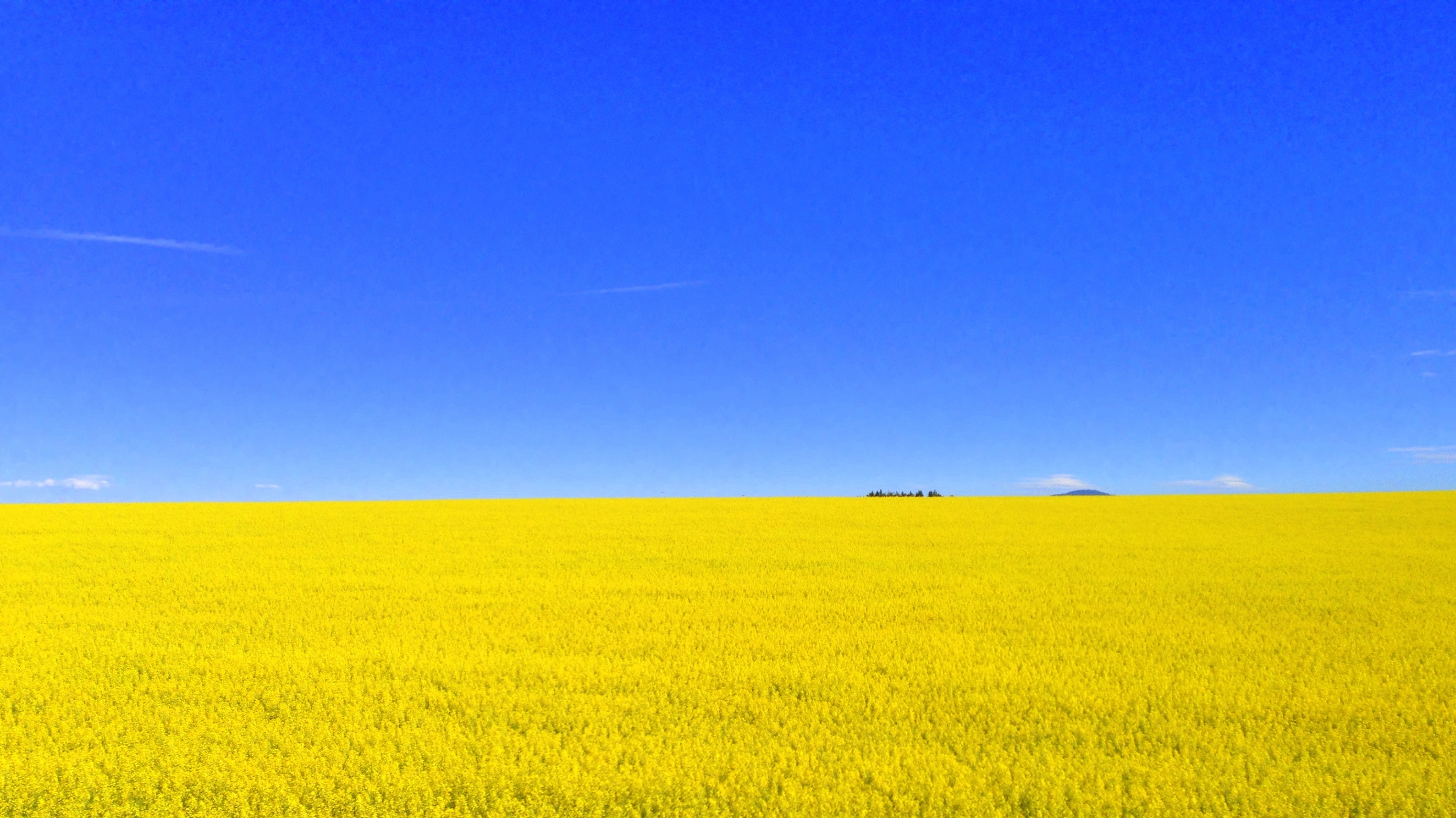
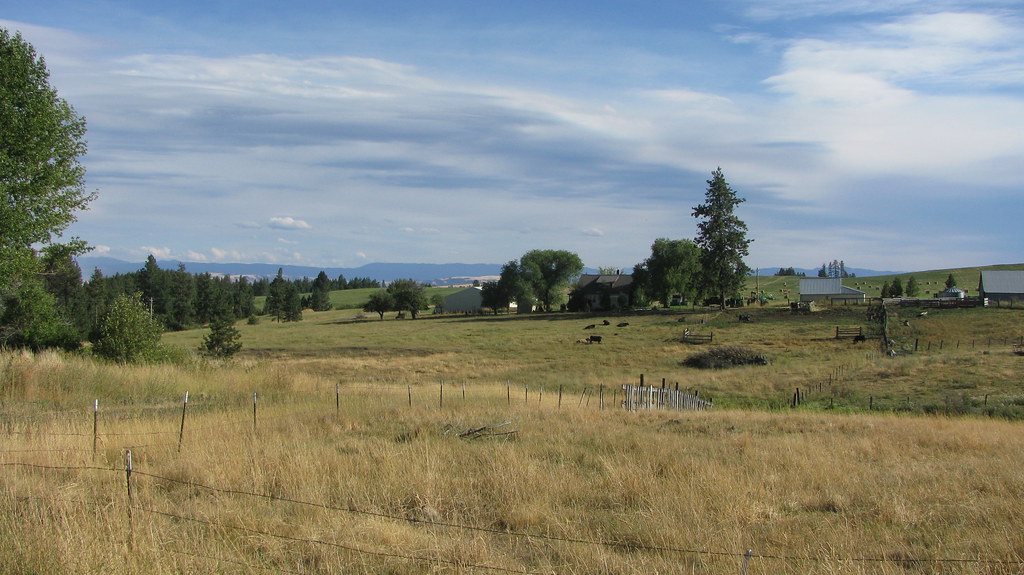
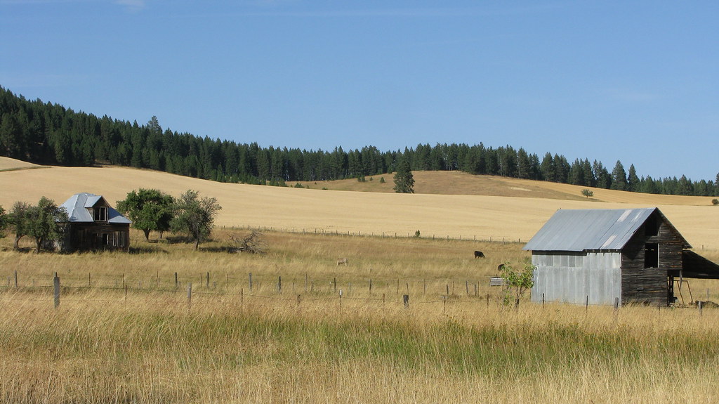
Related Photos:
LEWISCLARK MLS#113514

Nezperce, Idaho!

Pardon Me!

Following the Contours!

Flying Over the Hills!

Up in Smoke!
IMG_0960.JPG (2)
IMG_0957.JPG (2)

DSC_0262-a4
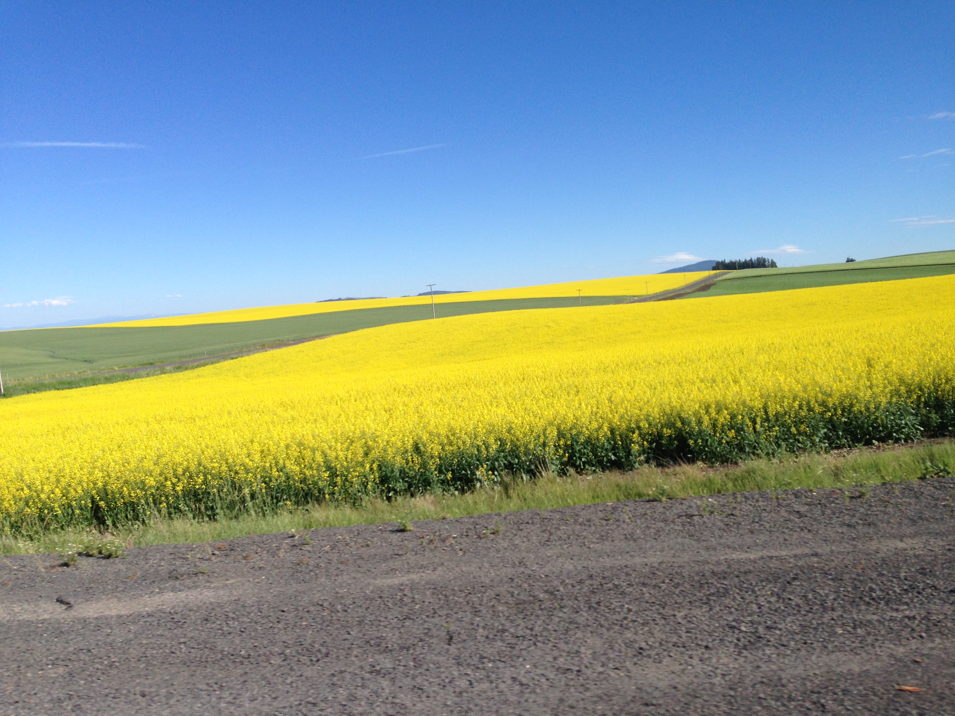
704-Canola plants.JPG (2)
IMG_0959.JPG (2)
DSC_0256-a2

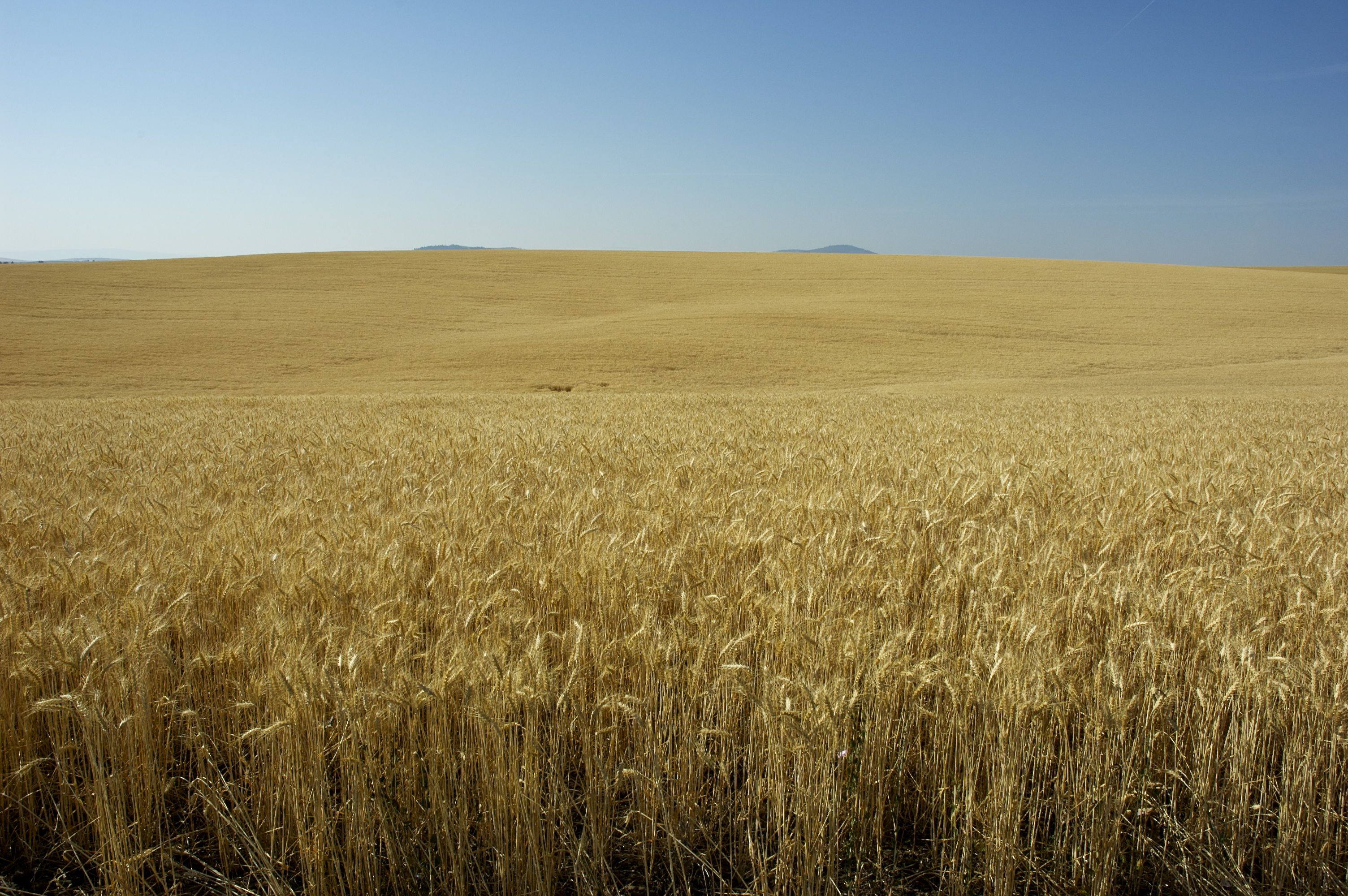
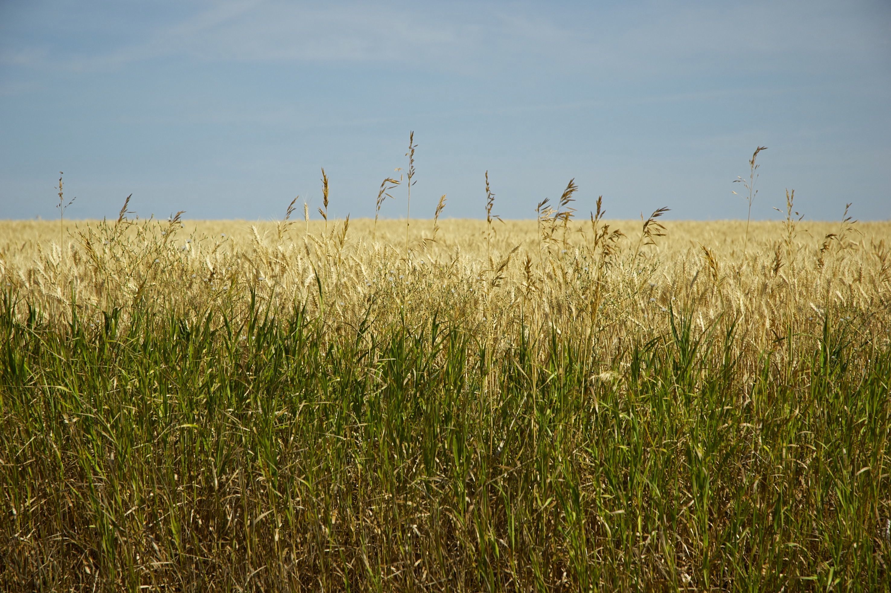
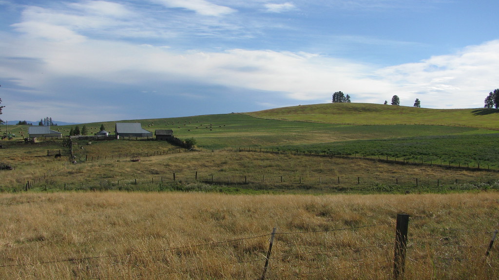
[IDAHO-J-0023] Nezperce Wheat Field
...
...
DSC_0255-a1

DSC_0268-a5
...
...
...
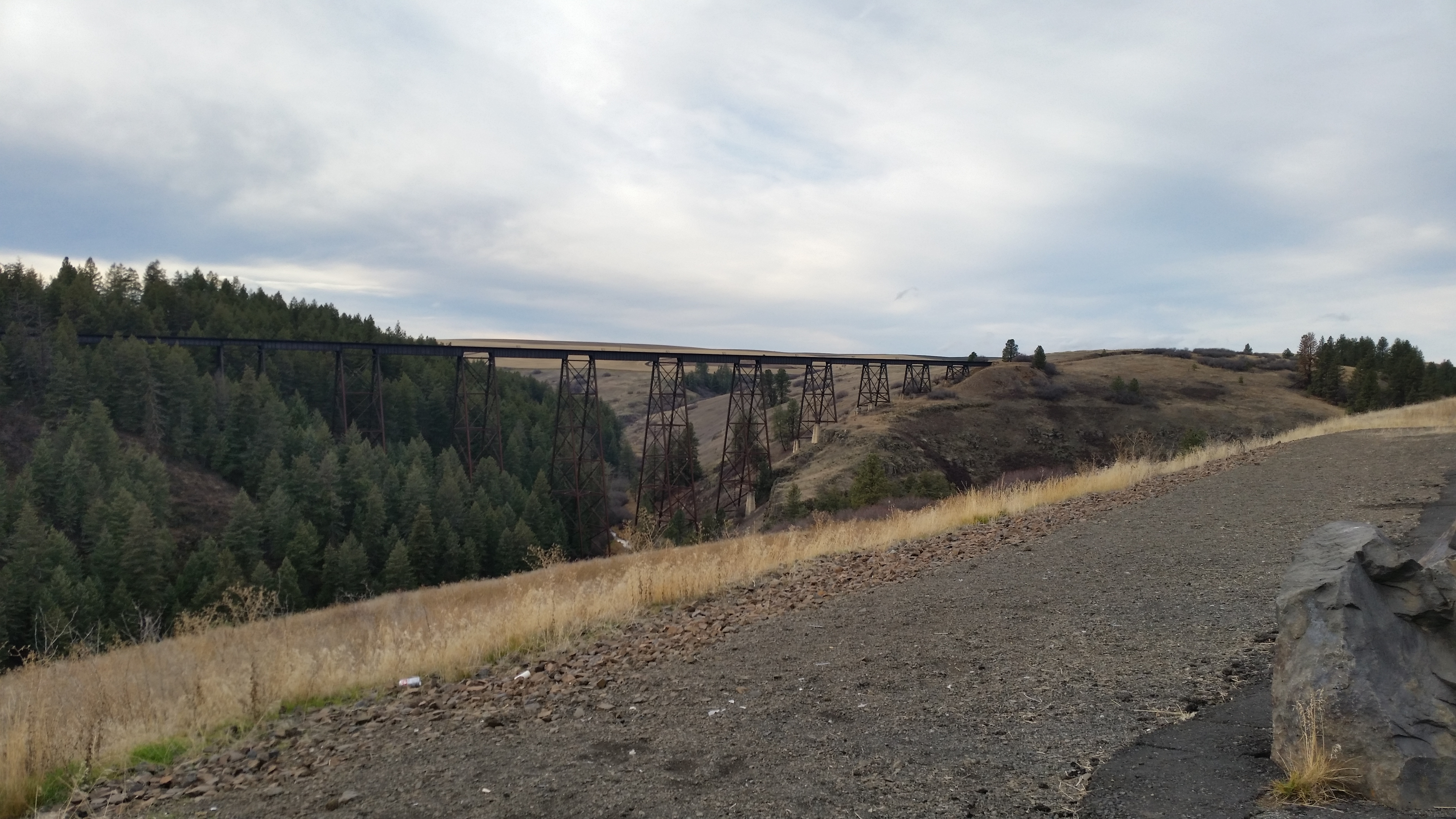
Railroad Trestles
...
Topographic Map of Ferdinand, ID, USA
Find elevation by address:

Places in Ferdinand, ID, USA:
Places near Ferdinand, ID, USA:
Main St, Ferdinand, ID, USA
Cottonwood
Junction St, Cottonwood, ID, USA
Lewis County
Graves Creek Road
Fourth Ave, Nezperce, ID, USA
Nezperce
ID-, Kamiah, ID, USA
Winchester Lake State Park
Winchester
Forest Road
323 Winona Rd
1262 Thorn Springs Rd
441 Olander Rd
Canfield
2109 Id-11
Greer
Greer Grade Rd, Nezperce, ID, USA
Gold Wagon Drive
20 Fish Hatchery Rd
Recent Searches:
- Elevation of Corso Fratelli Cairoli, 35, Macerata MC, Italy
- Elevation of Tallevast Rd, Sarasota, FL, USA
- Elevation of 4th St E, Sonoma, CA, USA
- Elevation of Black Hollow Rd, Pennsdale, PA, USA
- Elevation of Oakland Ave, Williamsport, PA, USA
- Elevation of Pedrógão Grande, Portugal
- Elevation of Klee Dr, Martinsburg, WV, USA
- Elevation of Via Roma, Pieranica CR, Italy
- Elevation of Tavkvetili Mountain, Georgia
- Elevation of Hartfords Bluff Cir, Mt Pleasant, SC, USA