Elevation map of Idaho County, ID, USA
Location: United States > Idaho >
Longitude: -115.72374
Latitude: 45.9019541
Elevation: 1818m / 5965feet
Barometric Pressure: 81KPa
Elevation Map:
Satellite Map:
Related Photos:
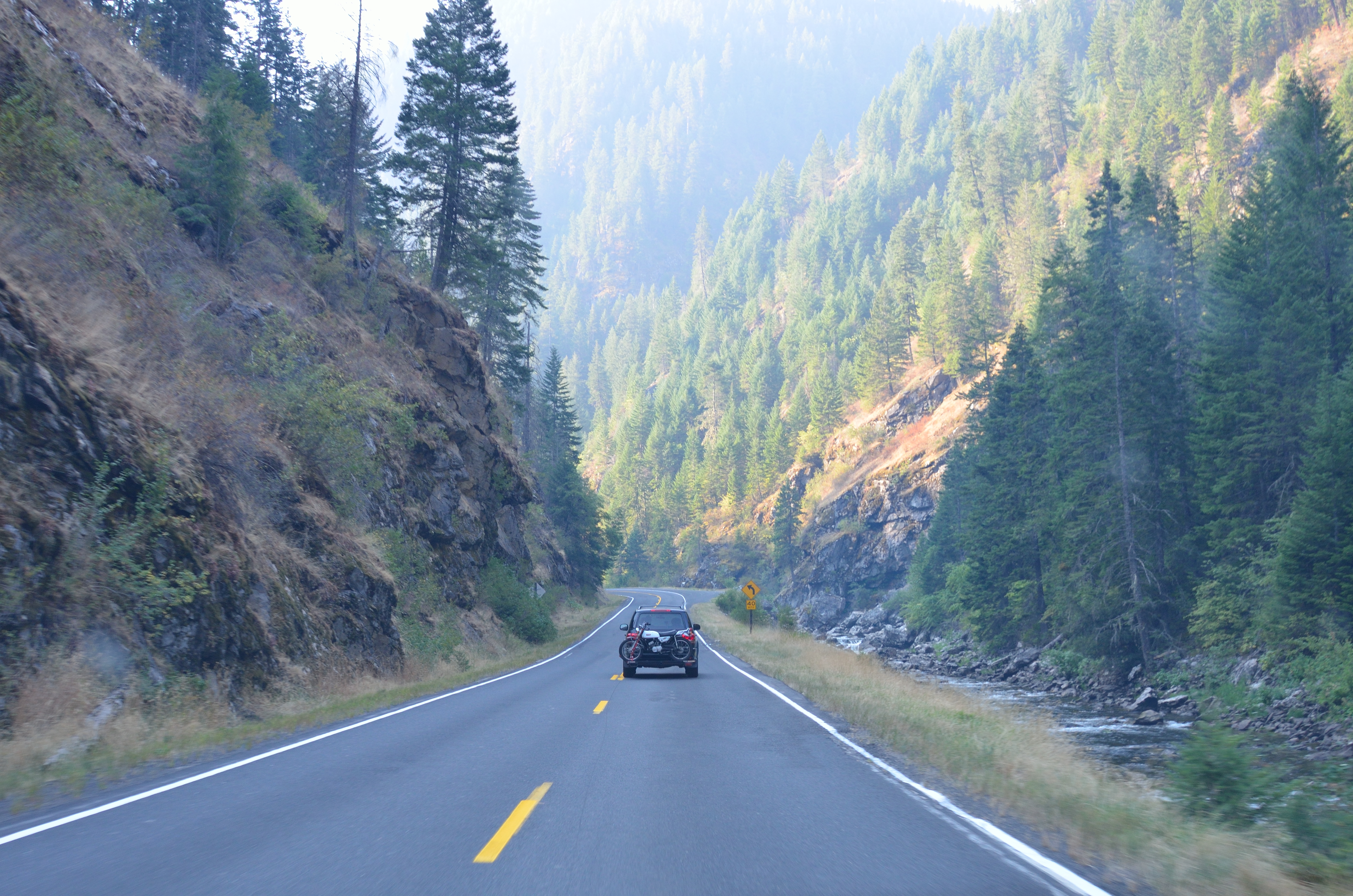
On the road to the Magruder Corridor
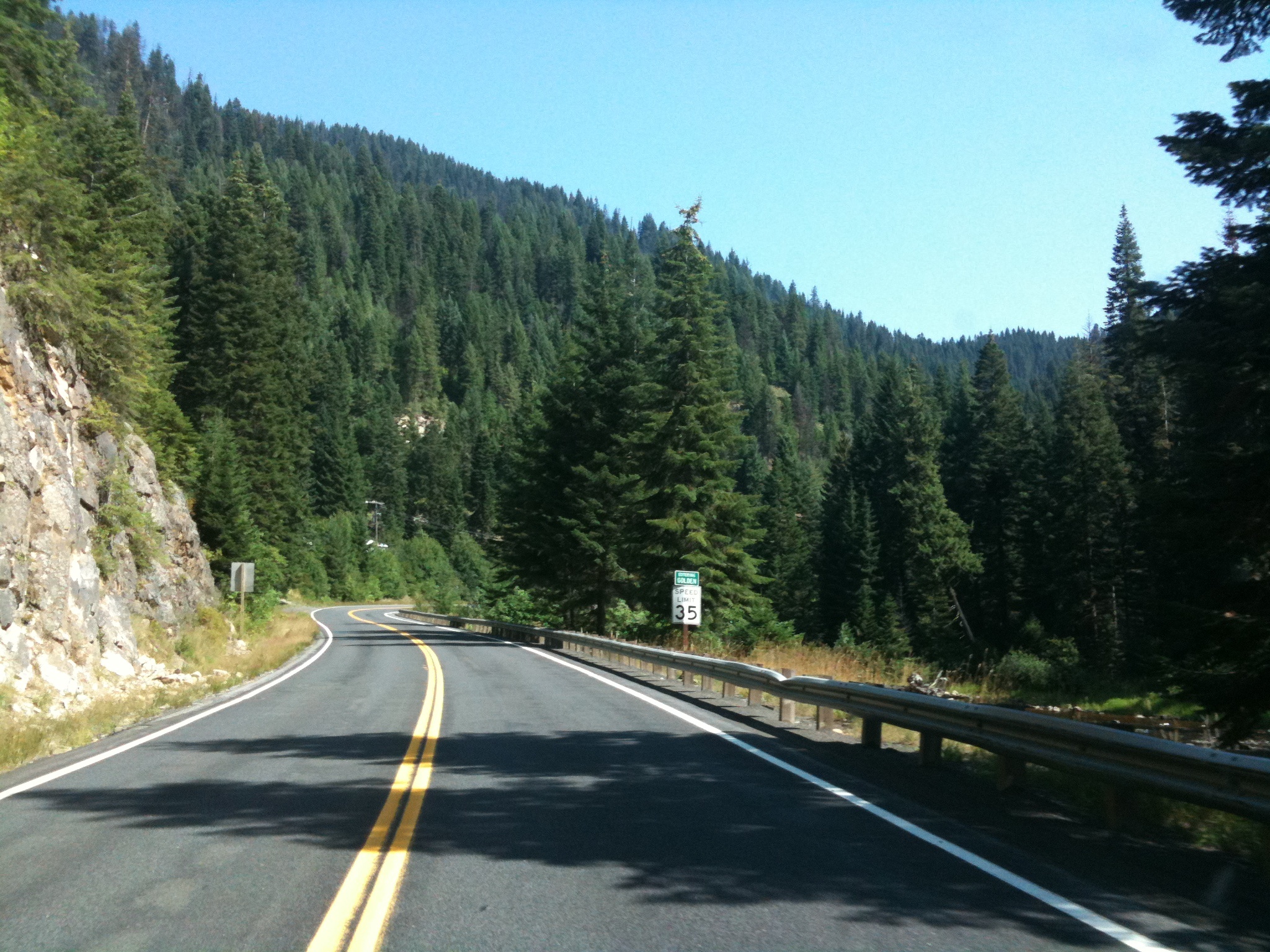
Entering Golden
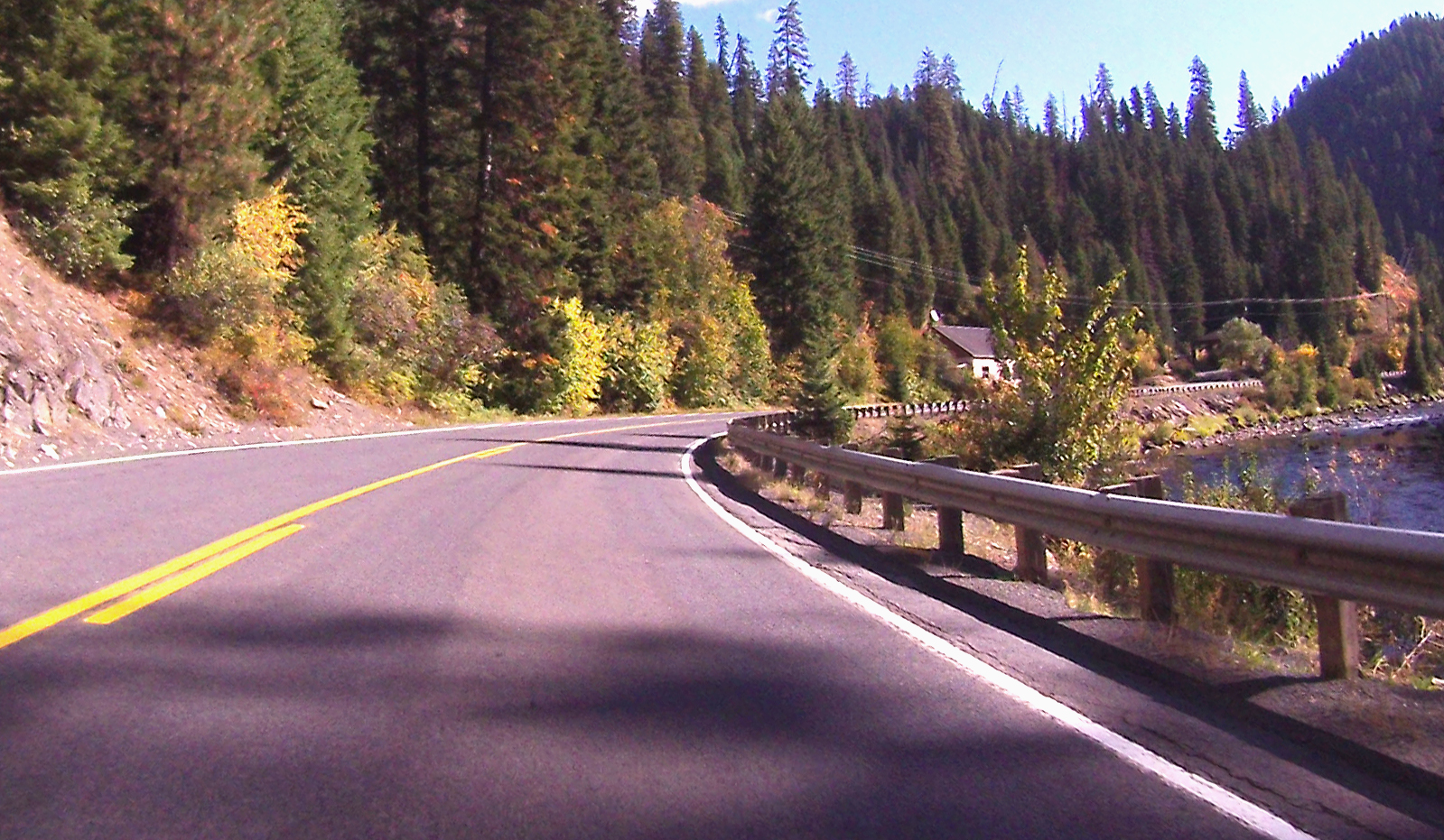
Day 4 Road Photo 3

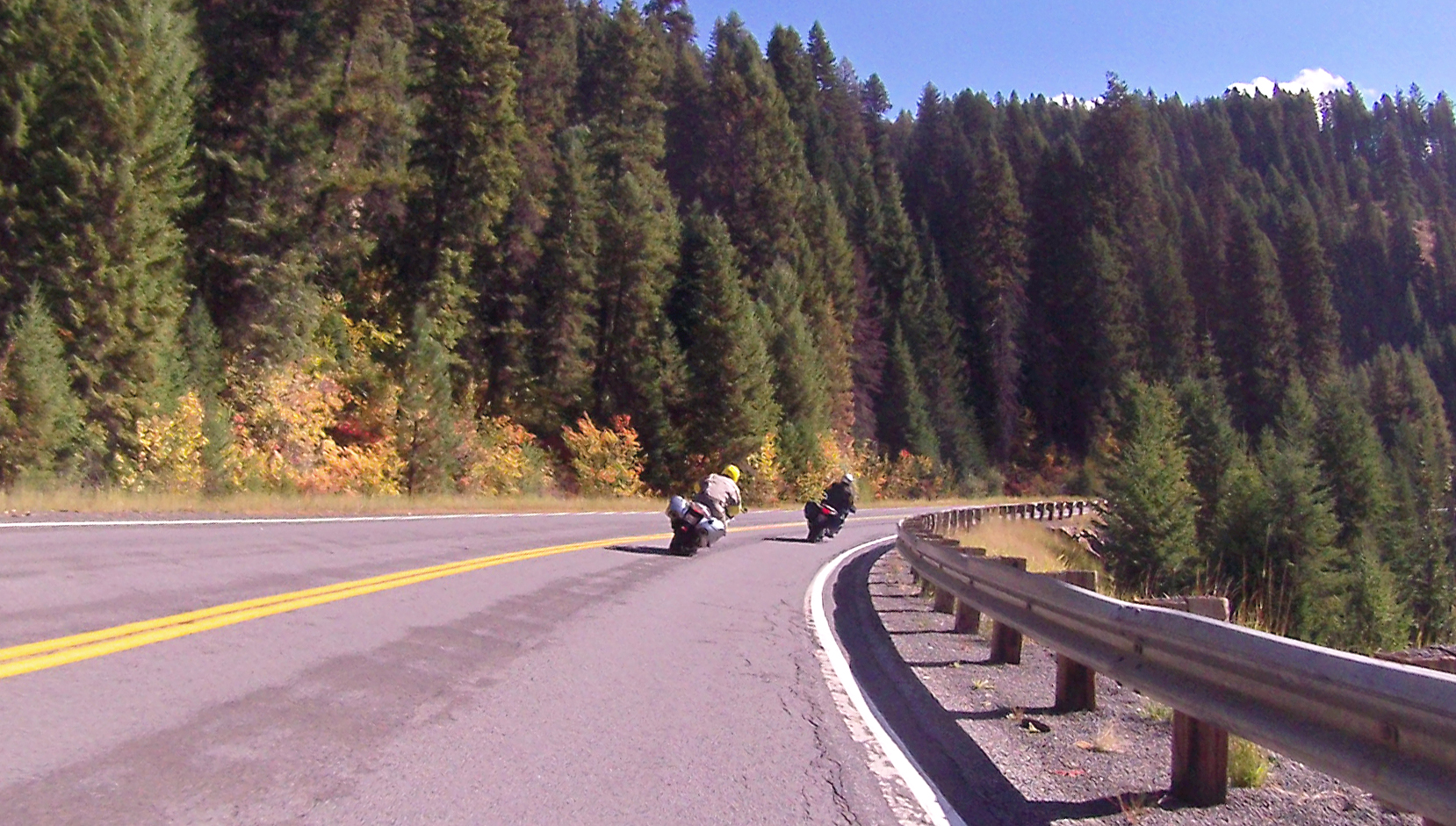
Day 4 Road Photo 4
Day 4 Road Photo 5

Day 4 Road Photo 6

Nez Perce National Forest, Idaho
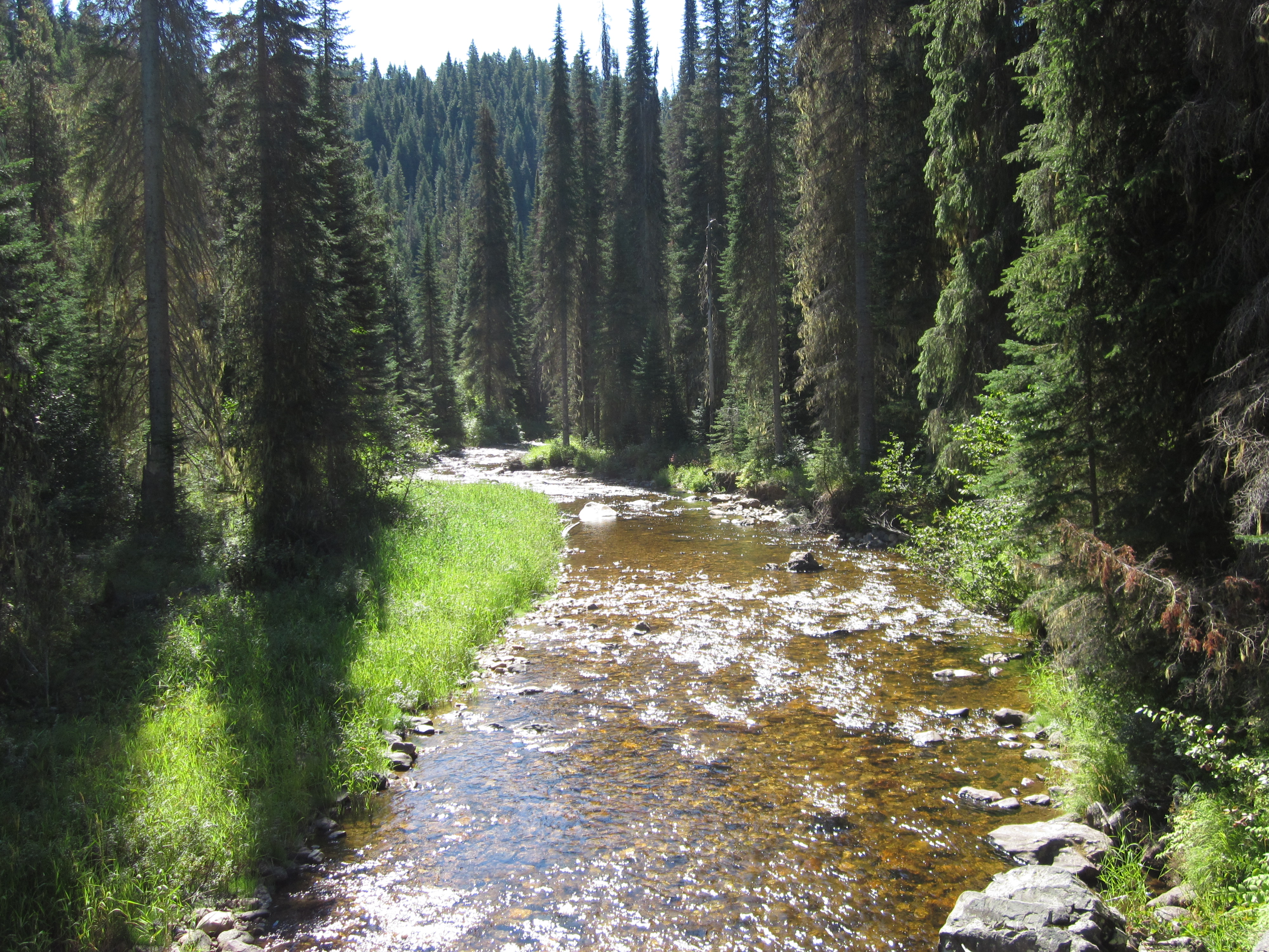
Nez Perce National Forest, Idaho
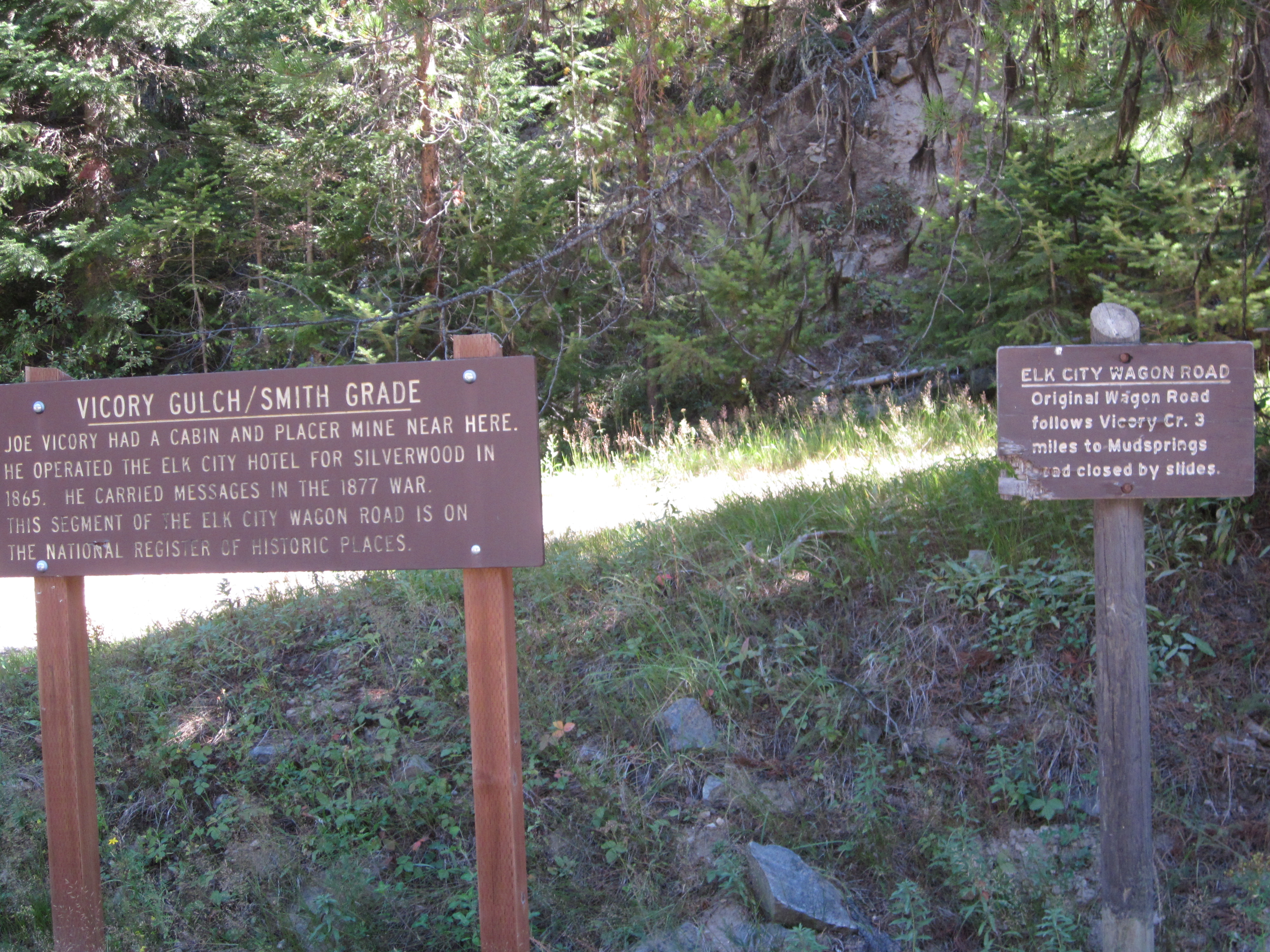
Nez Perce National Forest, Idaho
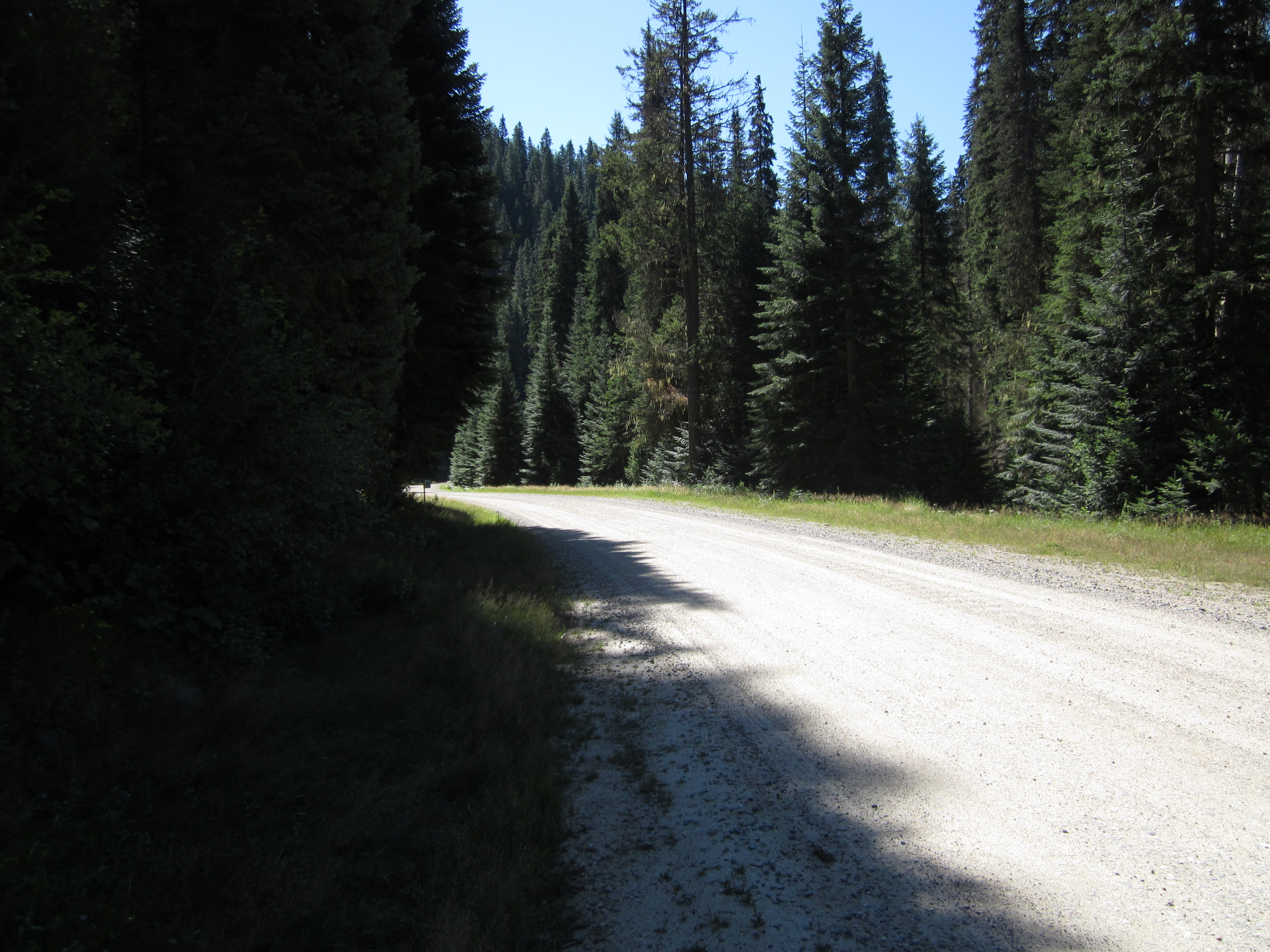
Nez Perce National Forest, Idaho
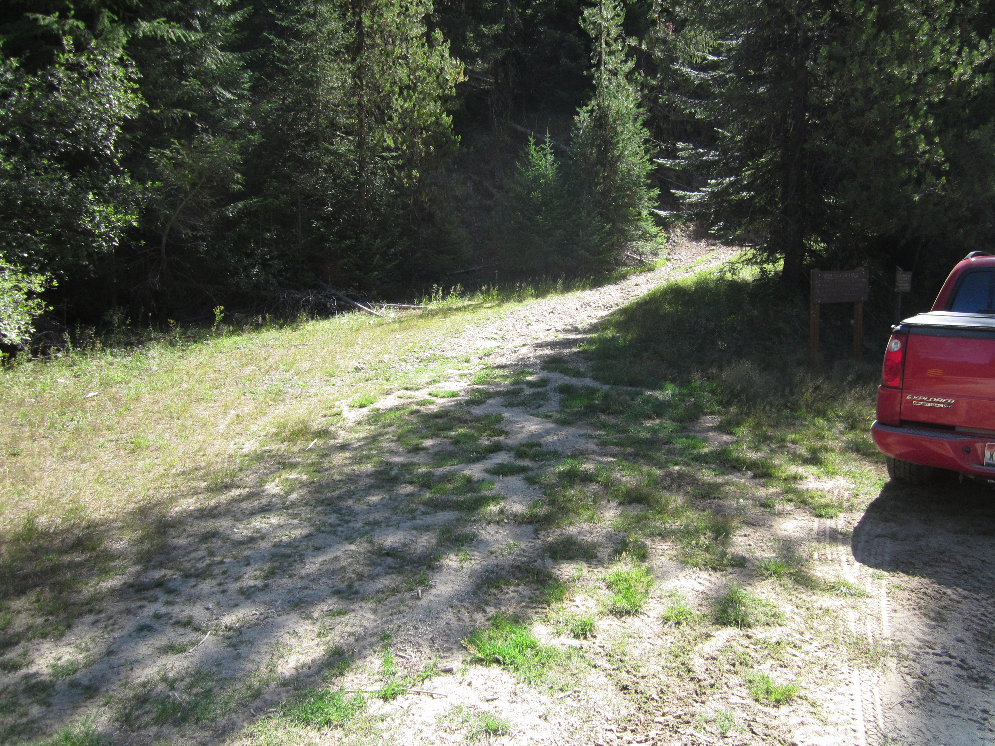
Nez Perce National Forest, Idaho
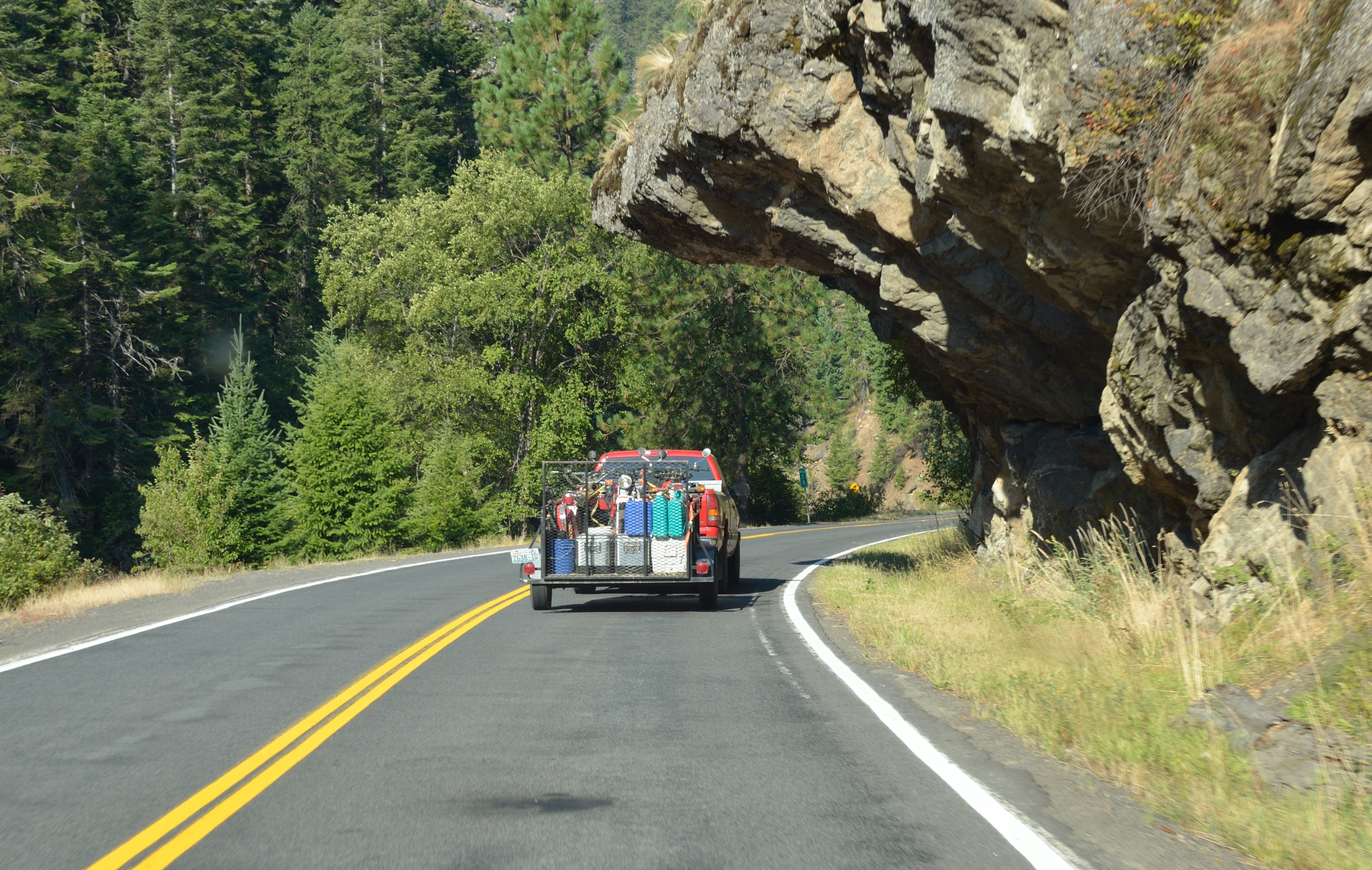
Cool rock formation along Highway 14 as we head home
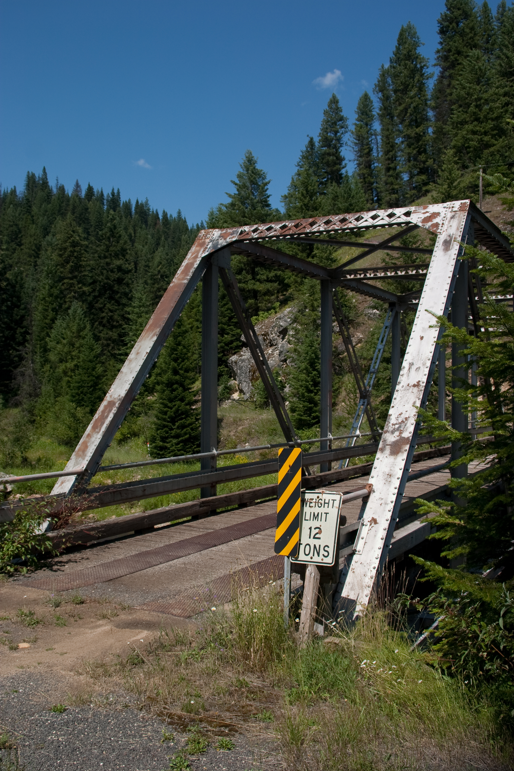
Truss Bridge off ID14
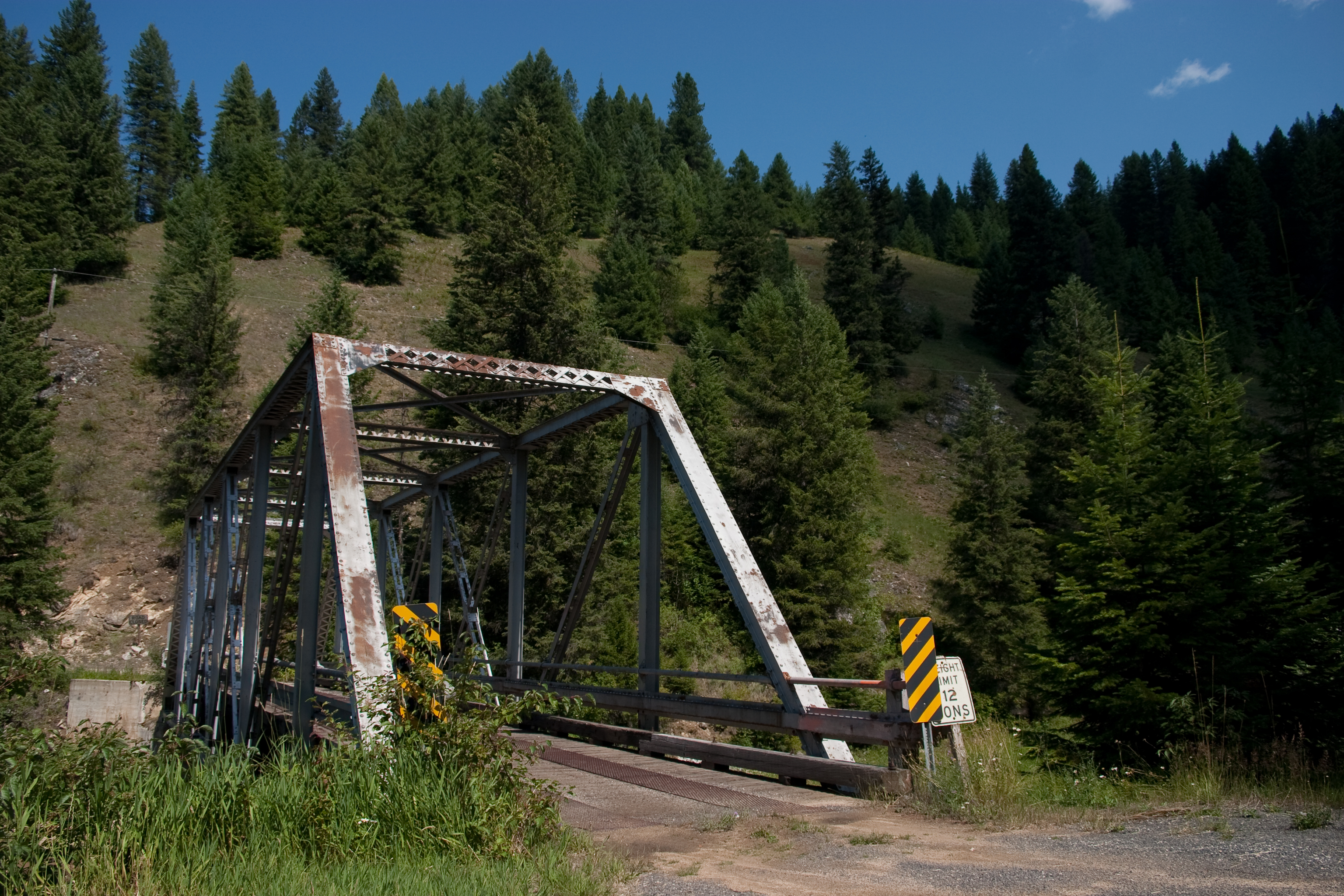
Truss Bridge off ID14
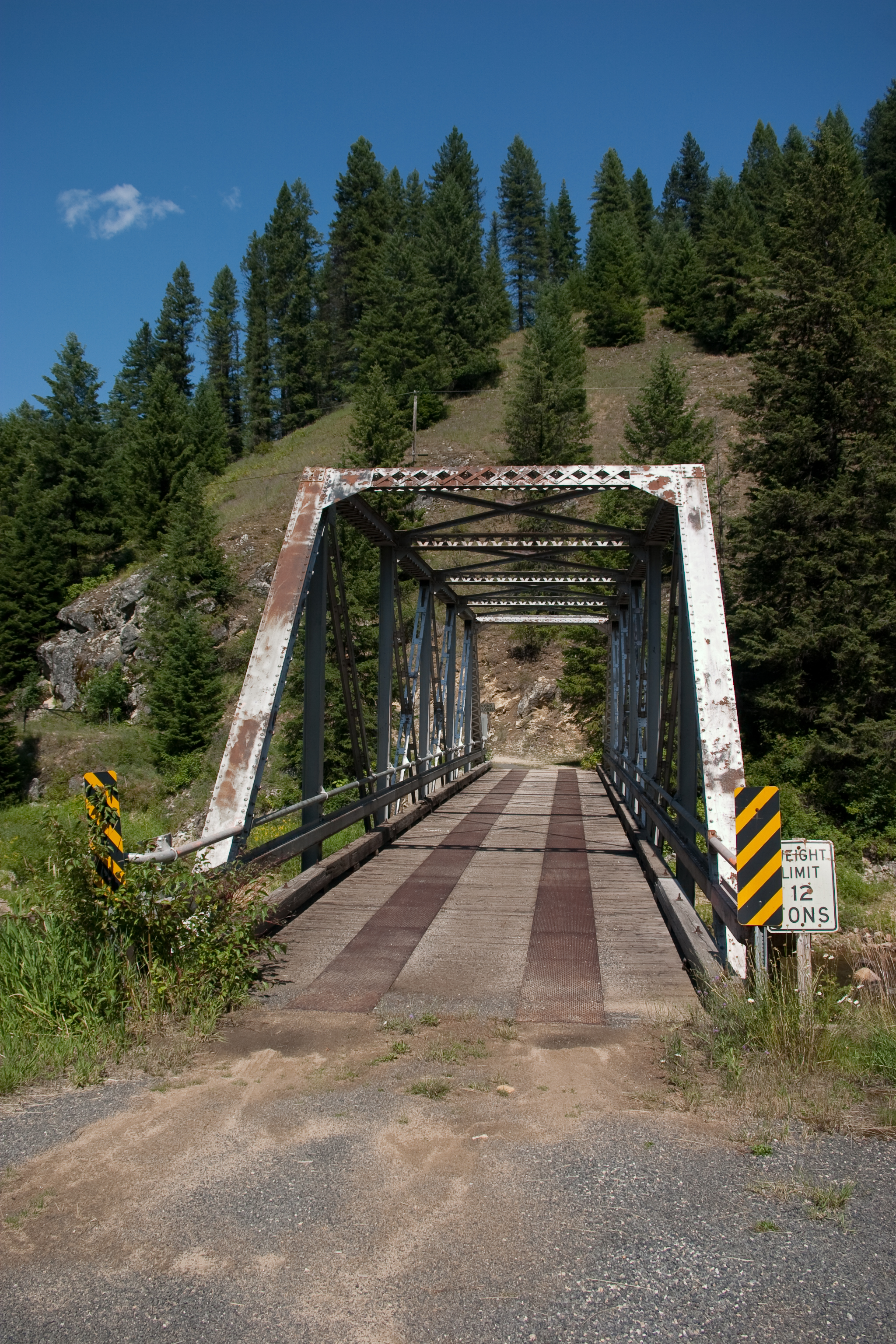
Truss Bridge off ID14
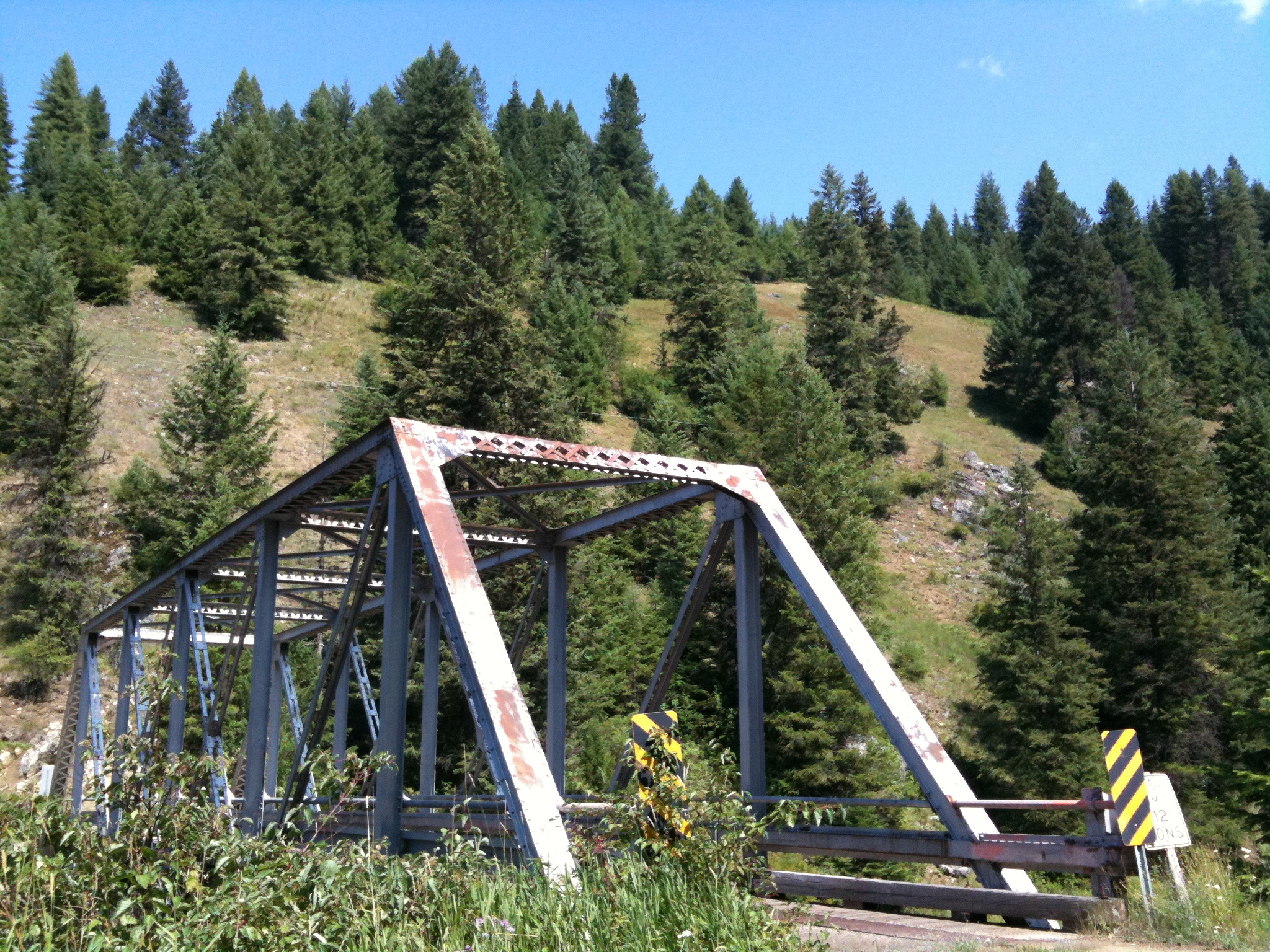
Truss Bridge off ID14
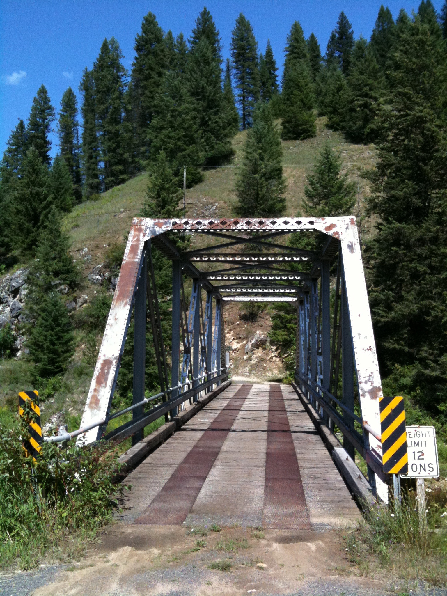
Truss Bridge off ID14
Topographic Map of Idaho County, ID, USA
Find elevation by address:

Places in Idaho County, ID, USA:
Kooskia
Grangeville
Cottonwood
Riggins
Ferdinand
Stites
US-12, Kooskia, ID, USA
Elk City
Burgdorf
Harpster
Pollock
Joseph
Lucile
Idaho 14
Asbestos Point
Pleasant Valley Road
Warren
Riggins Hot Springs
Places near Idaho County, ID, USA:
458 Crane Hill Rd
Idaho 14
Idaho 14
101 Cedar Hollow Ln
146 Cedar Hollow Ln
211 Falcon Ridge Rd
378 Clearcreek Rd
Big Cedar Road
155 Falcon Ridge Rd
946 Red Fir Rd
473 Big Cedar Rd
Green Creek Road
Flying Eagle Road
858 Wall Creek Rd
177 Ought Seven Rd
Lightning Creek Road
179 No Horse Ln
Asbestos Point
Pleasant Valley Road
170 Red Fir Rd
Recent Searches:
- Elevation of Corso Fratelli Cairoli, 35, Macerata MC, Italy
- Elevation of Tallevast Rd, Sarasota, FL, USA
- Elevation of 4th St E, Sonoma, CA, USA
- Elevation of Black Hollow Rd, Pennsdale, PA, USA
- Elevation of Oakland Ave, Williamsport, PA, USA
- Elevation of Pedrógão Grande, Portugal
- Elevation of Klee Dr, Martinsburg, WV, USA
- Elevation of Via Roma, Pieranica CR, Italy
- Elevation of Tavkvetili Mountain, Georgia
- Elevation of Hartfords Bluff Cir, Mt Pleasant, SC, USA