Elevation of Pleasant Valley Road, Pleasant Valley Rd, Idaho, USA
Location: United States > Idaho > Idaho County >
Longitude: -115.91821
Latitude: 46.030406
Elevation: 722m / 2369feet
Barometric Pressure: 93KPa
Elevation Map:
Satellite Map:
Related Photos:

20140602_123021.jpg

20140602_123019.jpg

A Kooskia Sunset

Winter on the Lochsa!

Morning Palouse
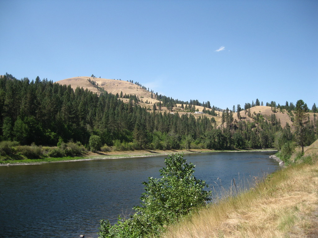
Clearwater River

Idaho US12 & Clearwater River (#0156)

Kooskia Idaho

IMG_8252.jpg

Everyday for 7 Weeks–Day 4–Missoula to Coeur d'Alene

Everyday for 7 Weeks–Day 4–Missoula to Coeur d'Alene

2010-07-31_whitefish3_037
2010-07-31_whitefish3_029

Clearwater River

2010-07-31_whitefish3_028

Clearwater River

2010-07-31_whitefish3_031

2010-07-31_whitefish3_030

Clearwater River

Clearwater River

2010-07-31_whitefish3_024
Topographic Map of Pleasant Valley Road, Pleasant Valley Rd, Idaho, USA
Find elevation by address:

Places near Pleasant Valley Road, Pleasant Valley Rd, Idaho, USA:
858 Wall Creek Rd
181 Ferguson Rd
181 Ferguson Rd
378 Clearcreek Rd
Harpster
137 Mulledy Rd
Green Creek Road
Lightning Creek Road
155 Falcon Ridge Rd
211 Falcon Ridge Rd
Stites
162 Red Fir Rd
124 Agee Ln
170 Red Fir Rd
148 Too Kush Rd
473 Big Cedar Rd
145 Homestead Rd
159 Battle Ridge Rd
101 Cedar Hollow Ln
Big Cedar Road
Recent Searches:
- Elevation of Corso Fratelli Cairoli, 35, Macerata MC, Italy
- Elevation of Tallevast Rd, Sarasota, FL, USA
- Elevation of 4th St E, Sonoma, CA, USA
- Elevation of Black Hollow Rd, Pennsdale, PA, USA
- Elevation of Oakland Ave, Williamsport, PA, USA
- Elevation of Pedrógão Grande, Portugal
- Elevation of Klee Dr, Martinsburg, WV, USA
- Elevation of Via Roma, Pieranica CR, Italy
- Elevation of Tavkvetili Mountain, Georgia
- Elevation of Hartfords Bluff Cir, Mt Pleasant, SC, USA