Elevation of Thorn Springs Rd, Kamiah, ID, USA
Location: United States > Idaho > Lewis County > Kamiah >
Longitude: -116.10049
Latitude: 46.1781317
Elevation: 855m / 2805feet
Barometric Pressure: 91KPa
Elevation Map:
Satellite Map:
Related Photos:

Nezperce, Idaho!

Pardon Me!

Flying Over the Hills!

Metal fish

Keeping a clear view

First Indian Presbyterian Church, Kamiah, Idaho

[IDAHO-J-0023] Nezperce Wheat Field

Morning Palouse
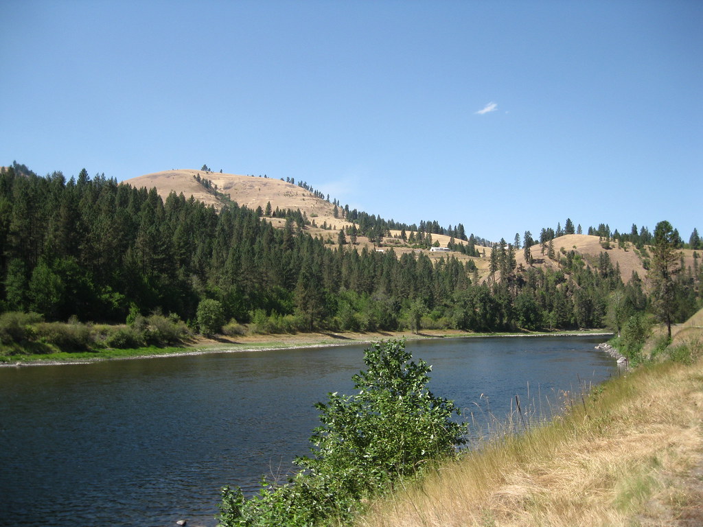
Clearwater River

Kamiah ID Bountiful Grain & Craig Mountain railroad (#0153)

Kamiah ID Clearwater River (#0154)

NT3.0039-GLA160628_41660

Kooskia Idaho

Camas Praire Hills

NT3.0039-GLA160628_41662-2

NT3.0039-GLA160628_41661
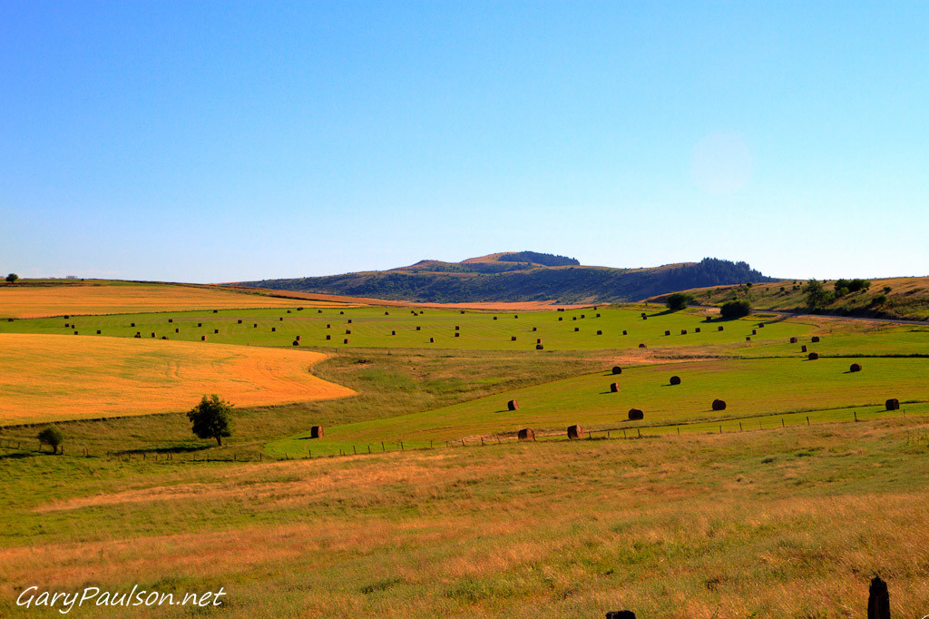
Camas Praire Hay Fields

0U1A9989 Nez Perce NHP - Heart of the Monster

Everyday for 7 Weeks–Day 4–Missoula to Coeur d'Alene

Cleawater River

Everyday for 7 Weeks–Day 4–Missoula to Coeur d'Alene

Everyday for 7 Weeks–Day 4–Missoula to Coeur d'Alene

2010-07-31_whitefish3_037
Topographic Map of Thorn Springs Rd, Kamiah, ID, USA
Find elevation by address:

Places near Thorn Springs Rd, Kamiah, ID, USA:
323 Winona Rd
131 Mule Deer
199 Rockview Dr
125 Riverview Ln
314 Locust Rd
1773 Gibler Rd
128 Pine Rd
Ridgewood Drive
1018 Idaho St
Kamiah
ID-, Kamiah, ID, USA
108 3rd St
437 Woodland Rd
338 Woodland Rd
486 Woodland Rd
111 Eller Ln
Kooskia
142 Flying Elk Dr
184 Friendship Ln
701 Clearwater St
Recent Searches:
- Elevation of Corso Fratelli Cairoli, 35, Macerata MC, Italy
- Elevation of Tallevast Rd, Sarasota, FL, USA
- Elevation of 4th St E, Sonoma, CA, USA
- Elevation of Black Hollow Rd, Pennsdale, PA, USA
- Elevation of Oakland Ave, Williamsport, PA, USA
- Elevation of Pedrógão Grande, Portugal
- Elevation of Klee Dr, Martinsburg, WV, USA
- Elevation of Via Roma, Pieranica CR, Italy
- Elevation of Tavkvetili Mountain, Georgia
- Elevation of Hartfords Bluff Cir, Mt Pleasant, SC, USA