Elevation of Flying Elk Dr, Kamiah, ID, USA
Longitude: -116.06330
Latitude: 46.3005334
Elevation: 934m / 3064feet
Barometric Pressure: 91KPa
Elevation Map:
Satellite Map:
Related Photos:

Fighting for the Last Piece of Harvest!

Nezperce, Idaho!

Greer down

Nez Perce National Historical Park

First Indian Presbyterian Church, Kamiah, Idaho

Nez Perce National Historical Park

Nez Perce National Historical Park

Nez Perce National Historical Park

Kamiah ID Bountiful Grain & Craig Mountain railroad (#0153)

Kamiah ID Clearwater River (#0154)
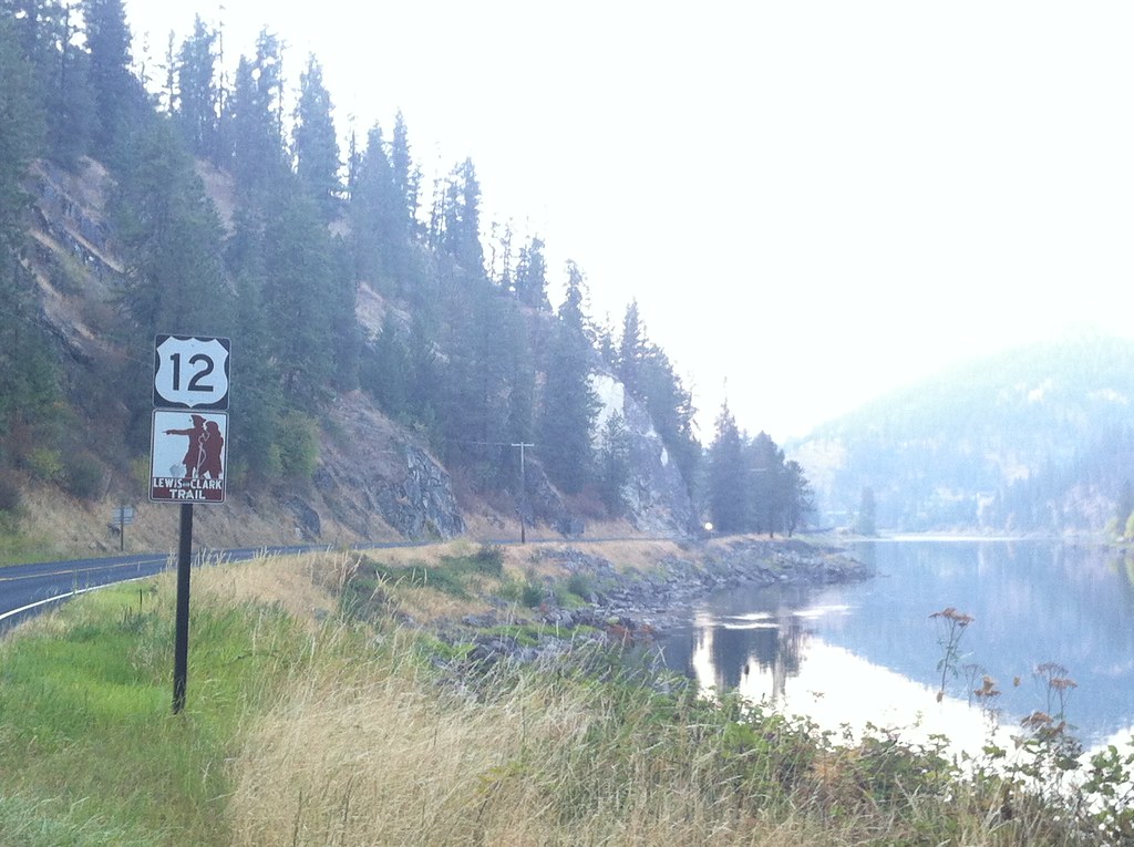
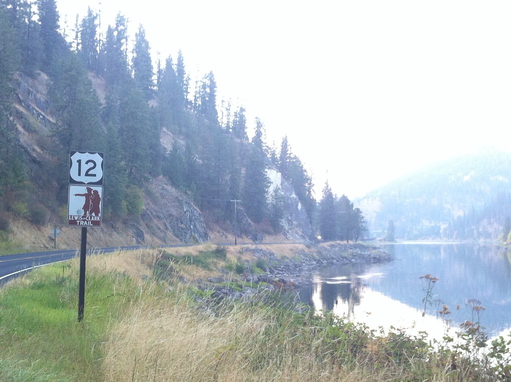
US 12/ Lewis and Clark Trail

0U1A9989 Nez Perce NHP - Heart of the Monster
We head west on the Lewis and Clark Trail

Cleawater River

Everyday for 7 Weeks–Day 4–Missoula to Coeur d'Alene

brodo_65_150814.jpg

Everyday for 7 Weeks–Day 4–Missoula to Coeur d'Alene

Everyday for 7 Weeks–Day 4–Missoula to Coeur d'Alene
Topographic Map of Flying Elk Dr, Kamiah, ID, USA
Find elevation by address:

Places near Flying Elk Dr, Kamiah, ID, USA:
11 Washington Way
184 Friendship Ln
136 Friendship Ln
122 Friendship Ln
486 Woodland Rd
437 Woodland Rd
338 Woodland Rd
1773 Gibler Rd
1472 Caribel Rd
Kamiah
108 3rd St
1018 Idaho St
Ridgewood Drive
128 Pine Rd
314 Locust Rd
199 Rockview Dr
125 Riverview Ln
111 Eller Ln
ID-11, Nezperce, ID, USA
Woodland-caribel Road
Recent Searches:
- Elevation of Corso Fratelli Cairoli, 35, Macerata MC, Italy
- Elevation of Tallevast Rd, Sarasota, FL, USA
- Elevation of 4th St E, Sonoma, CA, USA
- Elevation of Black Hollow Rd, Pennsdale, PA, USA
- Elevation of Oakland Ave, Williamsport, PA, USA
- Elevation of Pedrógão Grande, Portugal
- Elevation of Klee Dr, Martinsburg, WV, USA
- Elevation of Via Roma, Pieranica CR, Italy
- Elevation of Tavkvetili Mountain, Georgia
- Elevation of Hartfords Bluff Cir, Mt Pleasant, SC, USA