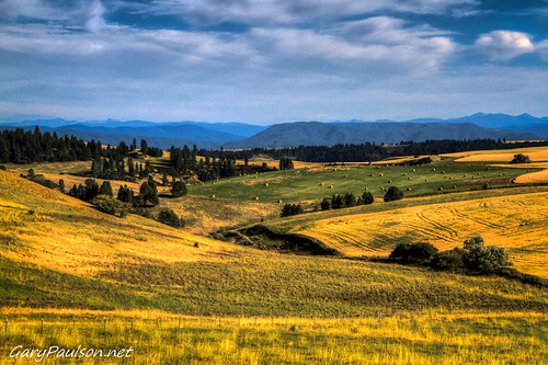
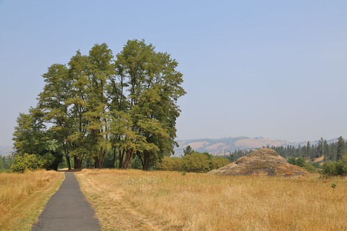
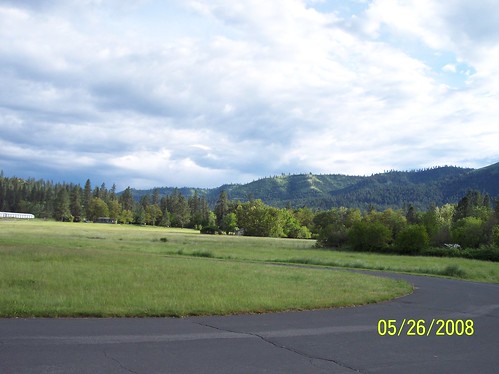
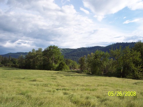
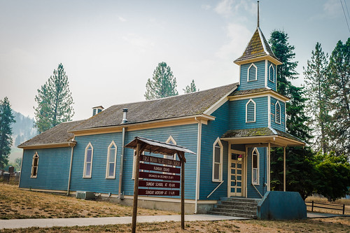
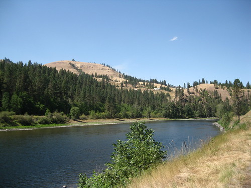
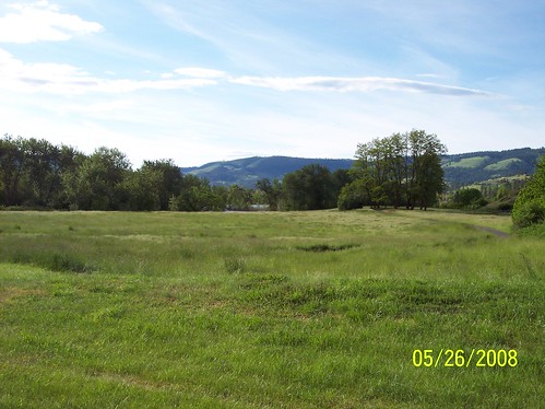
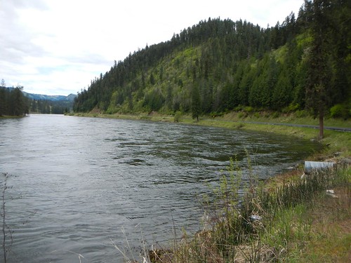
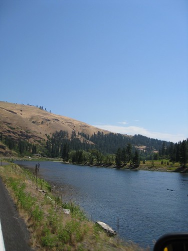
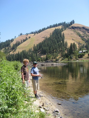
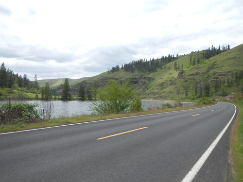
Elevation of Pine Rd, Kamiah, ID, USA
Location: United States > Idaho > Lewis County > Kamiah >
Longitude: -116.02470
Latitude: 46.2060432
Elevation: 447m / 1467feet
Barometric Pressure: 96KPa
Related Photos:
Topographic Map of Pine Rd, Kamiah, ID, USA
Find elevation by address:

Places near Pine Rd, Kamiah, ID, USA:
314 Locust Rd
125 Riverview Ln
199 Rockview Dr
Ridgewood Drive
1018 Idaho St
Kamiah
108 3rd St
1773 Gibler Rd
131 Mule Deer
338 Woodland Rd
111 Eller Ln
437 Woodland Rd
486 Woodland Rd
763 Kidder Ridge Rd
148 Beaver Hill Rd
1472 Caribel Rd
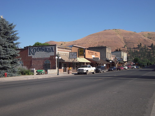
Kooskia
184 Friendship Ln
701 Clearwater St
136 Friendship Ln
Recent Searches:
- Elevation of Corso Fratelli Cairoli, 35, Macerata MC, Italy
- Elevation of Tallevast Rd, Sarasota, FL, USA
- Elevation of 4th St E, Sonoma, CA, USA
- Elevation of Black Hollow Rd, Pennsdale, PA, USA
- Elevation of Oakland Ave, Williamsport, PA, USA
- Elevation of Pedrógão Grande, Portugal
- Elevation of Klee Dr, Martinsburg, WV, USA
- Elevation of Via Roma, Pieranica CR, Italy
- Elevation of Tavkvetili Mountain, Georgia
- Elevation of Hartfords Bluff Cir, Mt Pleasant, SC, USA

