Elevation of Ridgewood Drive, Ridgewood Dr, Kamiah, ID, USA
Location: United States > Idaho > Lewis County > Kamiah >
Longitude: -116.02556
Latitude: 46.218226
Elevation: 374m / 1227feet
Barometric Pressure: 97KPa
Elevation Map:
Satellite Map:
Related Photos:
view2
TLC13
TLC6

TLC12

TLC9

TLC1

TLC4

TLC3

Wagon1
TLC10
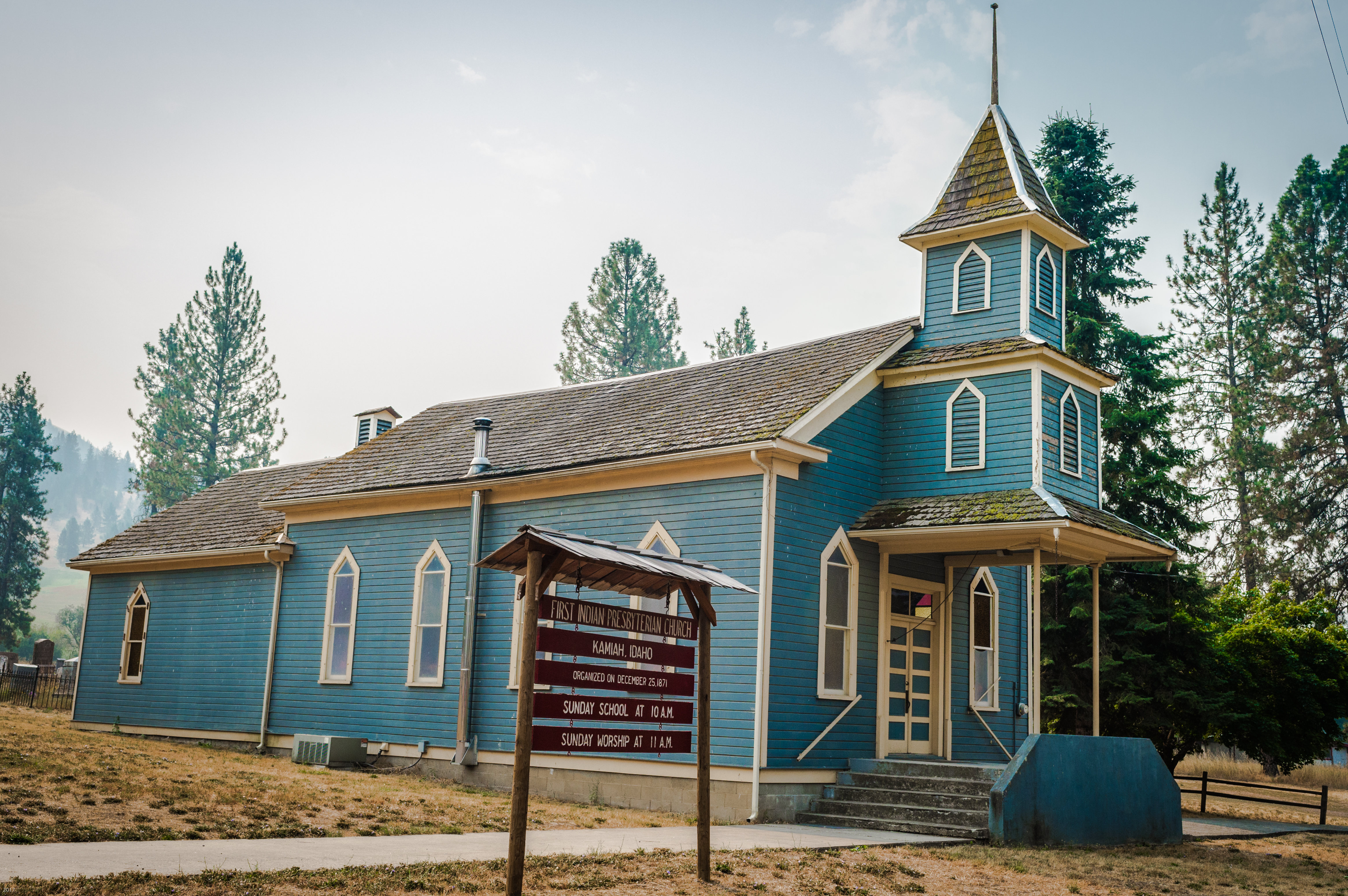
First Indian Presbyterian Church, Kamiah, Idaho

Seedlings near trees
2008RobAndreaMutch 123
Camas Praire Hills

2008RobAndreaMutch 122
2010-07-31_whitefish3_029
Clearwater River

2010-07-31_whitefish3_028
0U1A9988 Nez Perce NHP - Heart of the Monster

2010-07-31_whitefish3_030
Cleawater River
Kooskia Idaho
2008RobAndreaMutch 124
Everyday for 7 Weeks–Day 4–Missoula to Coeur d'Alene

Everyday for 7 Weeks–Day 4–Missoula to Coeur d'Alene
Everyday for 7 Weeks–Day 4–Missoula to Coeur d'Alene
2010-07-31_whitefish3_037

2010-07-31_whitefish3_031

NT3.0039-GLA160628_41660
Kamiah ID Bountiful Grain & Craig Mountain railroad (#0153)

NT3.0039-GLA160628_41662-2
Topographic Map of Ridgewood Drive, Ridgewood Dr, Kamiah, ID, USA
Find elevation by address:

Places near Ridgewood Drive, Ridgewood Dr, Kamiah, ID, USA:
1018 Idaho St
Kamiah
108 3rd St
128 Pine Rd
314 Locust Rd
1773 Gibler Rd
125 Riverview Ln
199 Rockview Dr
338 Woodland Rd
437 Woodland Rd
486 Woodland Rd
111 Eller Ln
131 Mule Deer
1472 Caribel Rd
184 Friendship Ln
148 Beaver Hill Rd
763 Kidder Ridge Rd
136 Friendship Ln
122 Friendship Ln
11 Washington Way
Recent Searches:
- Elevation of Corso Fratelli Cairoli, 35, Macerata MC, Italy
- Elevation of Tallevast Rd, Sarasota, FL, USA
- Elevation of 4th St E, Sonoma, CA, USA
- Elevation of Black Hollow Rd, Pennsdale, PA, USA
- Elevation of Oakland Ave, Williamsport, PA, USA
- Elevation of Pedrógão Grande, Portugal
- Elevation of Klee Dr, Martinsburg, WV, USA
- Elevation of Via Roma, Pieranica CR, Italy
- Elevation of Tavkvetili Mountain, Georgia
- Elevation of Hartfords Bluff Cir, Mt Pleasant, SC, USA