Elevation of Mule Deer, Kamiah, ID, USA

Location: United States > Idaho > Lewis County > Kamiah >

Longitude: -116.02989

Latitude: 46.1716761

Elevation: 832m / 2730feet

Barometric Pressure: 92KPa

Elevation Map:

elevation map of Mule Deer, Kamiah, ID, USA

Satellite Map:

Satellite map of Mule Deer, Kamiah, ID, USA

Related Photos:

road trip travel sculpture fish art tourism metal digital work canon way eos rebel us washington high artwork highway scenery kiss open view state side scenic salmon roadtrip tourist hwy idaho route views americana openroad interstate 12 roadside dslr washingtonstate roadsideamerica us12 xsi x2 offtheinterstate roadgeek kooskia 450d ushighway openroads ontheopenroad ushighway12 canoneos450d canoneosdigitalrebelxsi kissdigitalx2canon noticings kooskiaidaho
Metal fish
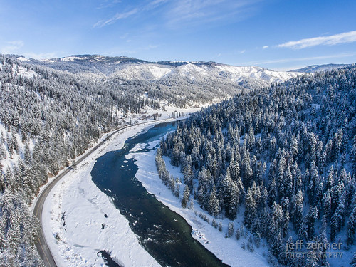
flow landscape winter middlefork idaho outdoor cold trees frigid tree river forest freeze outdoors snowy clearwater frozen snow ice kooskia unitedstates us
Winter on the Lochsa!
honda id captain motorcycle 12 windshield magna motorcycleroadtrip kamiah
Keeping a clear view
solemn religious summer colorful landscape tree church forest idaho sky historicbuilding quiet steple structure architecture kamiah unitedstates us
First Indian Presbyterian Church, Kamiah, Idaho
honda roadtrip magna twoup motorcycleroadtrip
Morning Palouse
day clear
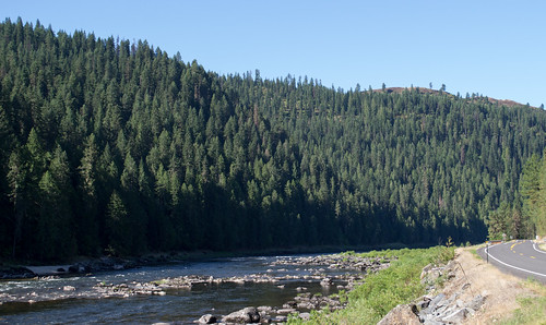
Clearwater River
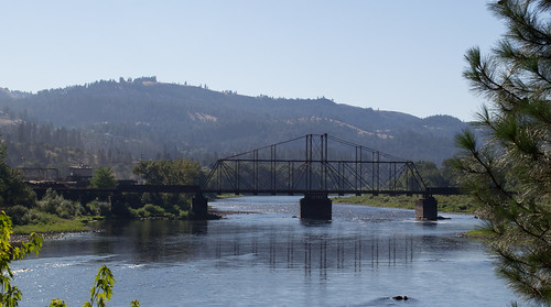
idaho bridge railroad mtwy15
Kamiah ID Bountiful Grain & Craig Mountain railroad (#0153)
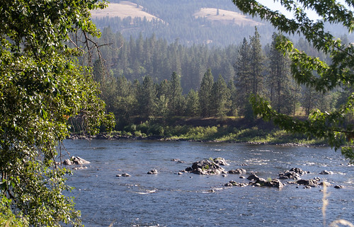
idaho mtwy15
Kamiah ID Clearwater River (#0154)
farm field canola flowers spring camasprairie palouse hay wheat greencreek idaho unitedstates us
NT3.0039-GLA160628_41660
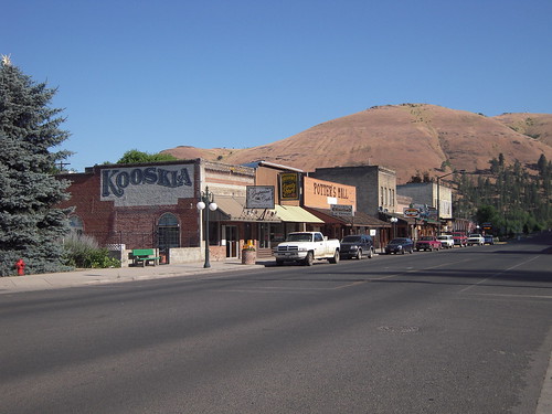
Kooskia Idaho
idaho nationalforest mtwy15
Idaho US12 & Clearwater River (#0156)
field outdoors farm object hay hdr agricultural photomatix placesgeneral
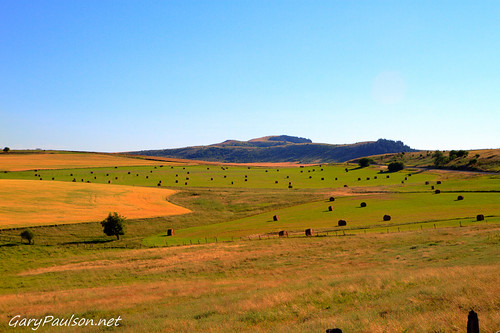
Camas Praire Hills
farm field canola flowers spring camasprairie palouse kamiah idaho unitedstates us
NT3.0039-GLA160628_41662-2
farm field canola flowers spring camasprairie palouse hay wheat greencreek idaho unitedstates us
NT3.0039-GLA160628_41661
unitedstates idaho hdr photomatix kooskia
Camas Praire Hay Fields
2018 idaho nezpercenationalhistoricalpark heartofthemonster
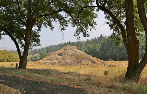
0U1A9989 Nez Perce NHP - Heart of the Monster
everydayfor7weeks
Everyday for 7 Weeks–Day 4–Missoula to Coeur d'Alene
Cleawater River
everydayfor7weeks
Everyday for 7 Weeks–Day 4–Missoula to Coeur d'Alene
everydayfor7weeks
Everyday for 7 Weeks–Day 4–Missoula to Coeur d'Alene
2010-07-31_whitefish3_037
2010-07-31_whitefish3_029
montana
brodo_65_150814.jpg