Elevation of ID-11, Nezperce, ID, USA
Location: United States > Idaho > Clearwater County >
Longitude: -116.14318
Latitude: 46.389469
Elevation: 915m / 3002feet
Barometric Pressure: 91KPa
Elevation Map:
Satellite Map:
Related Photos:

Greer down
Orofino sunset... ???? #sunset #view #orofino #idaho #usa #longweekend #motorcycleroadtrip #ontheroad #lifeonthemove #livetotravel #livetoride #lifeisgood

Train Crossing
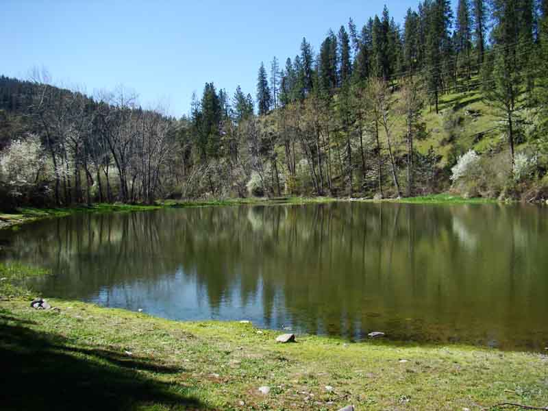
A view of Tunnel Pond
Room with a view in Orofino, Idaho
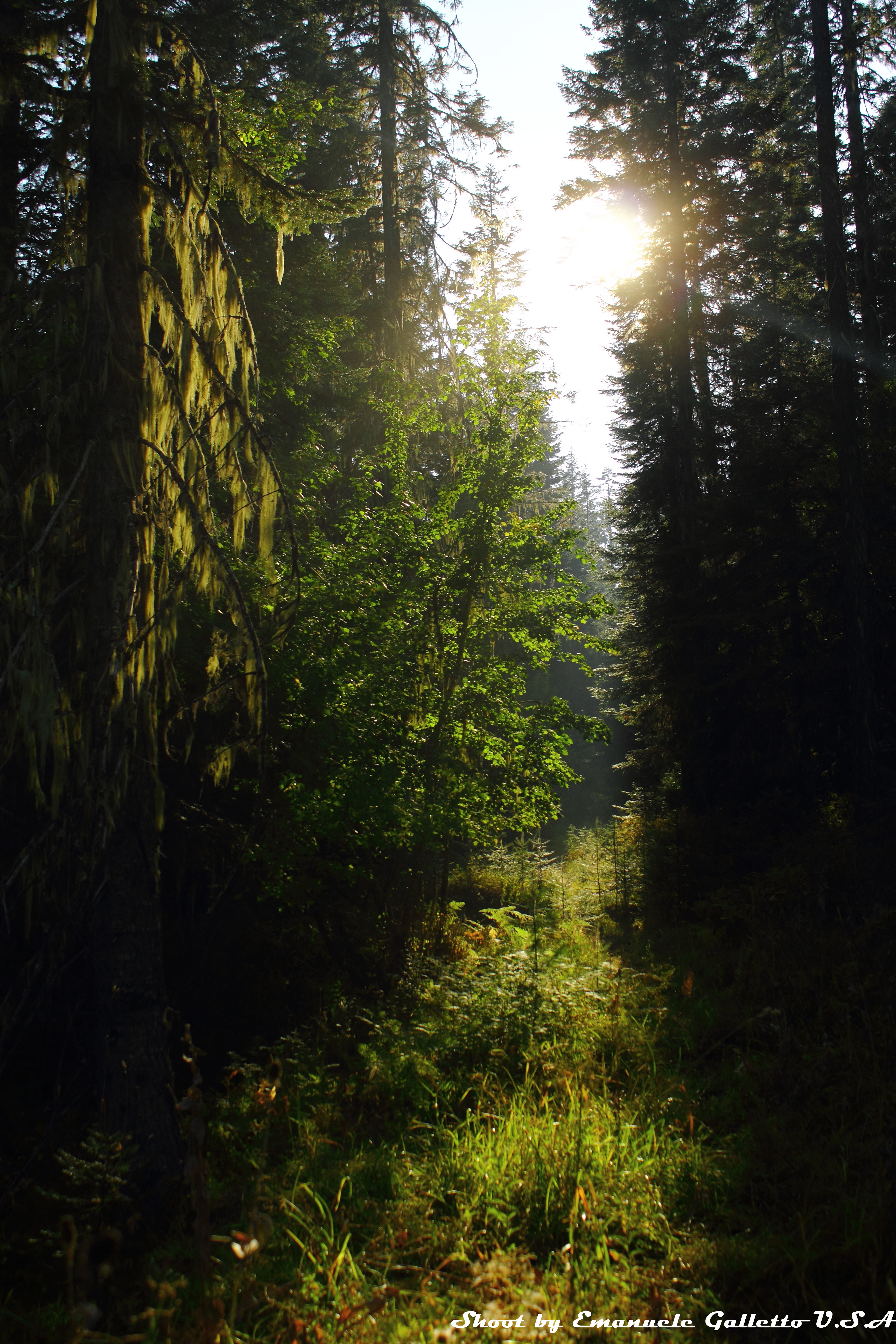
Woods II

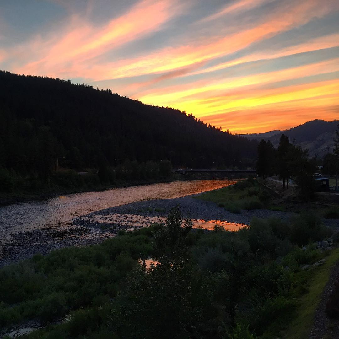
Fiery pink clouds as twilight falls on Orofino, ID....
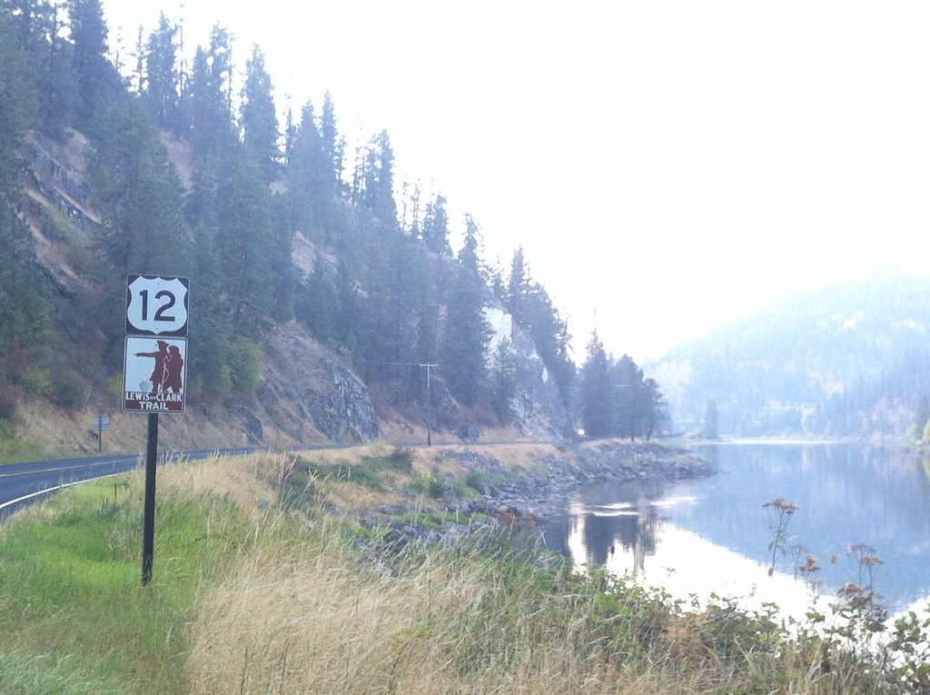
We head west on the Lewis and Clark Trail
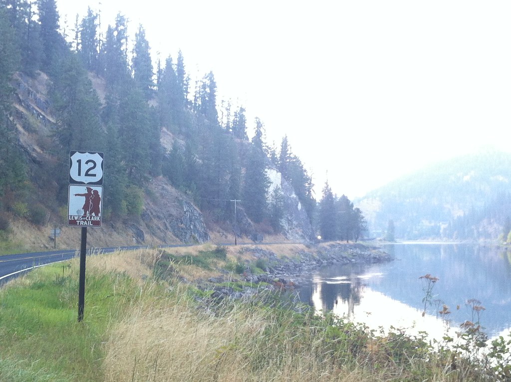
US 12/ Lewis and Clark Trail
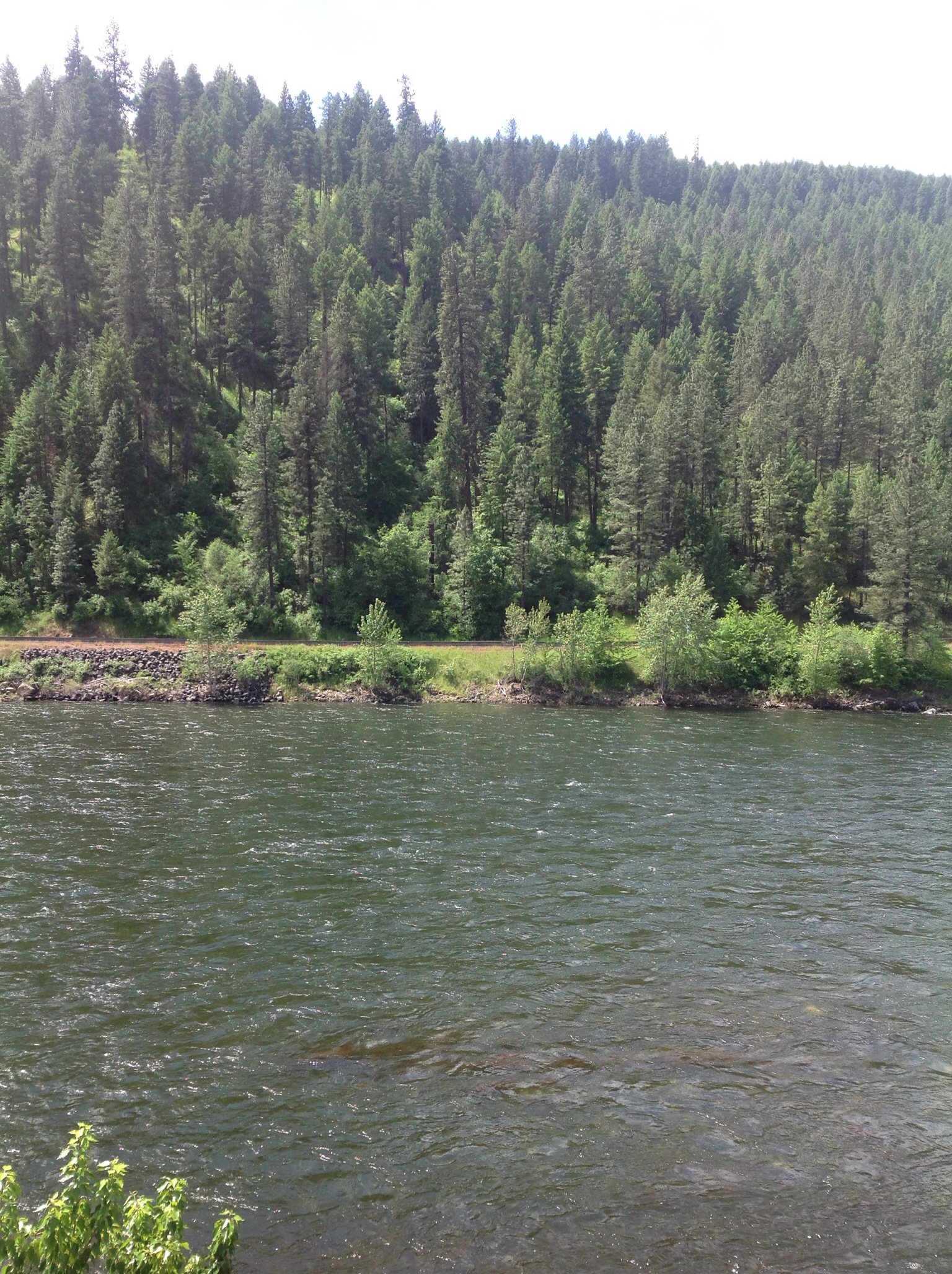
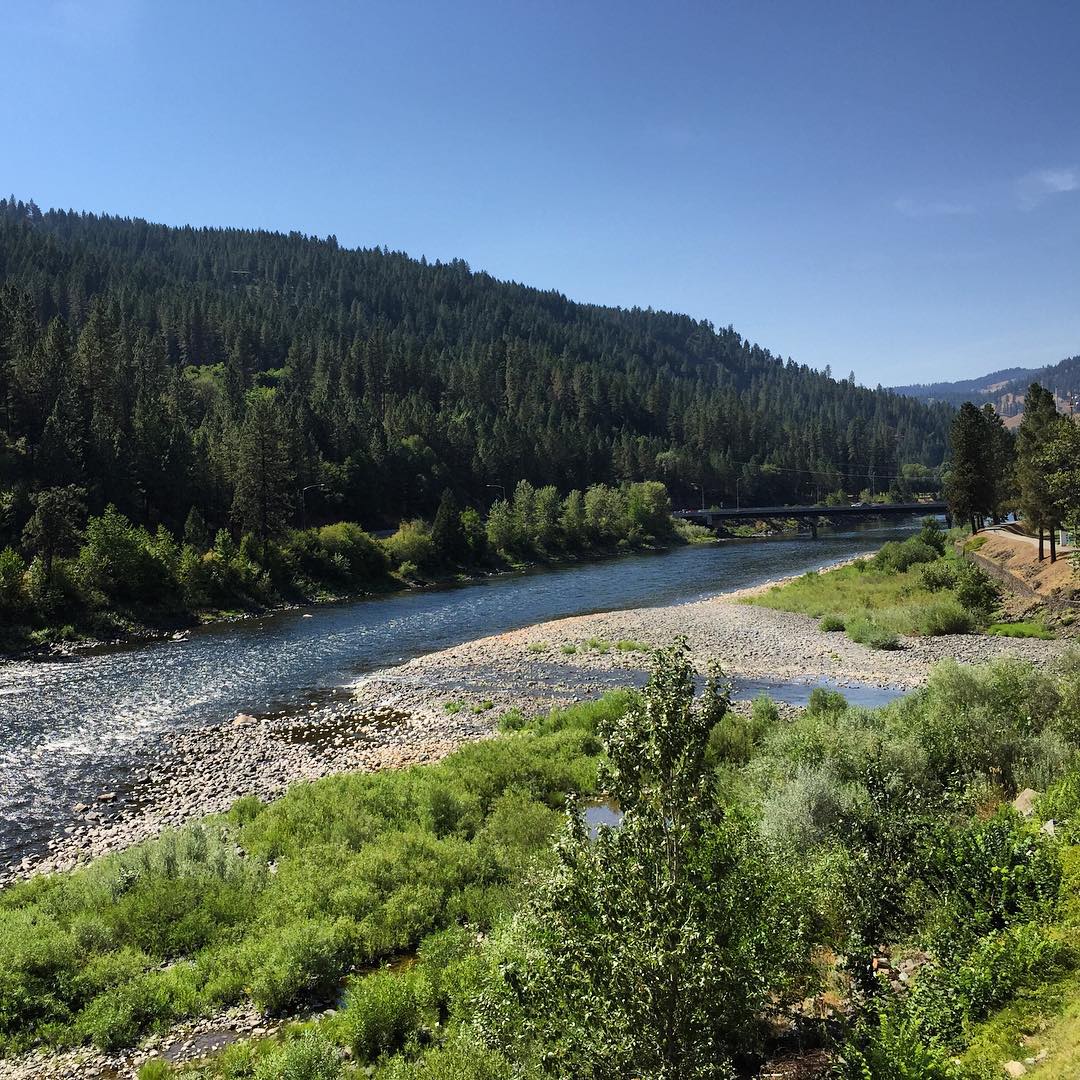
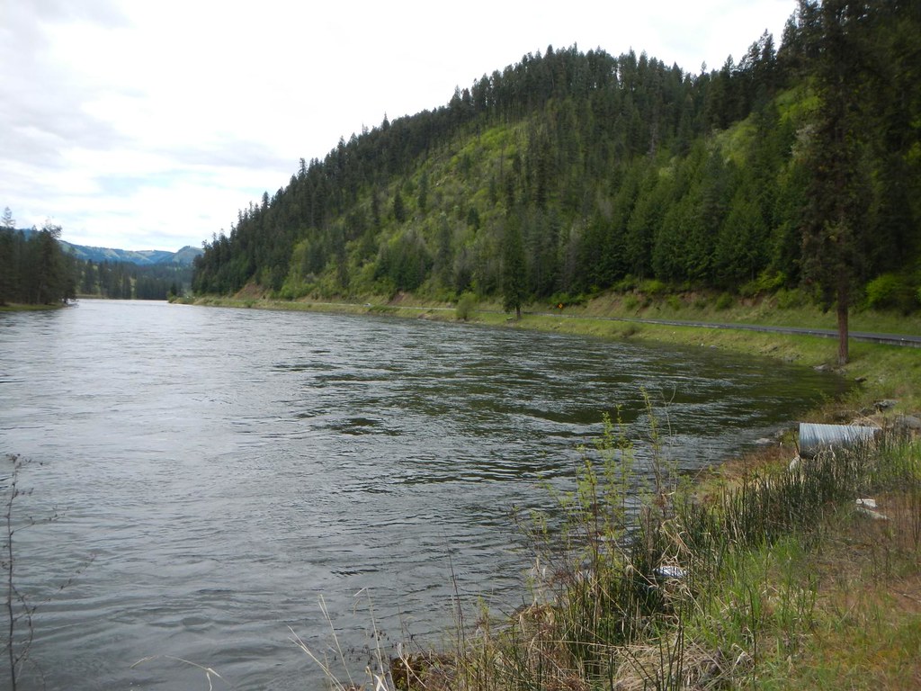
Clearwater river

Everyday for 7 Weeks–Day 4–Missoula to Coeur d'Alene

Everyday for 7 Weeks–Day 4–Missoula to Coeur d'Alene
Everyday for 7 Weeks–Day 4–Missoula to Coeur d'Alene
brodo_65_150814.jpg
Topographic Map of ID-11, Nezperce, ID, USA
Find elevation by address:

Places near ID-11, Nezperce, ID, USA:
Gold Wagon Drive
2109 Id-11
Greer Grade Rd, Nezperce, ID, USA
Greer
142 Flying Elk Dr
11 Washington Way
184 Friendship Ln
136 Friendship Ln
122 Friendship Ln
486 Woodland Rd
437 Woodland Rd
Nezperce
338 Woodland Rd
Fourth Ave, Nezperce, ID, USA
1773 Gibler Rd
1472 Caribel Rd
Kamiah
108 3rd St
1018 Idaho St
Weippe
Recent Searches:
- Elevation of Corso Fratelli Cairoli, 35, Macerata MC, Italy
- Elevation of Tallevast Rd, Sarasota, FL, USA
- Elevation of 4th St E, Sonoma, CA, USA
- Elevation of Black Hollow Rd, Pennsdale, PA, USA
- Elevation of Oakland Ave, Williamsport, PA, USA
- Elevation of Pedrógão Grande, Portugal
- Elevation of Klee Dr, Martinsburg, WV, USA
- Elevation of Via Roma, Pieranica CR, Italy
- Elevation of Tavkvetili Mountain, Georgia
- Elevation of Hartfords Bluff Cir, Mt Pleasant, SC, USA