Elevation map of Clearwater County, ID, USA
Location: United States > Idaho >
Longitude: -115.56203
Latitude: 46.6775737
Elevation: 830m / 2723feet
Barometric Pressure: 92KPa
Elevation Map:
Satellite Map:
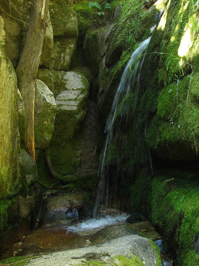
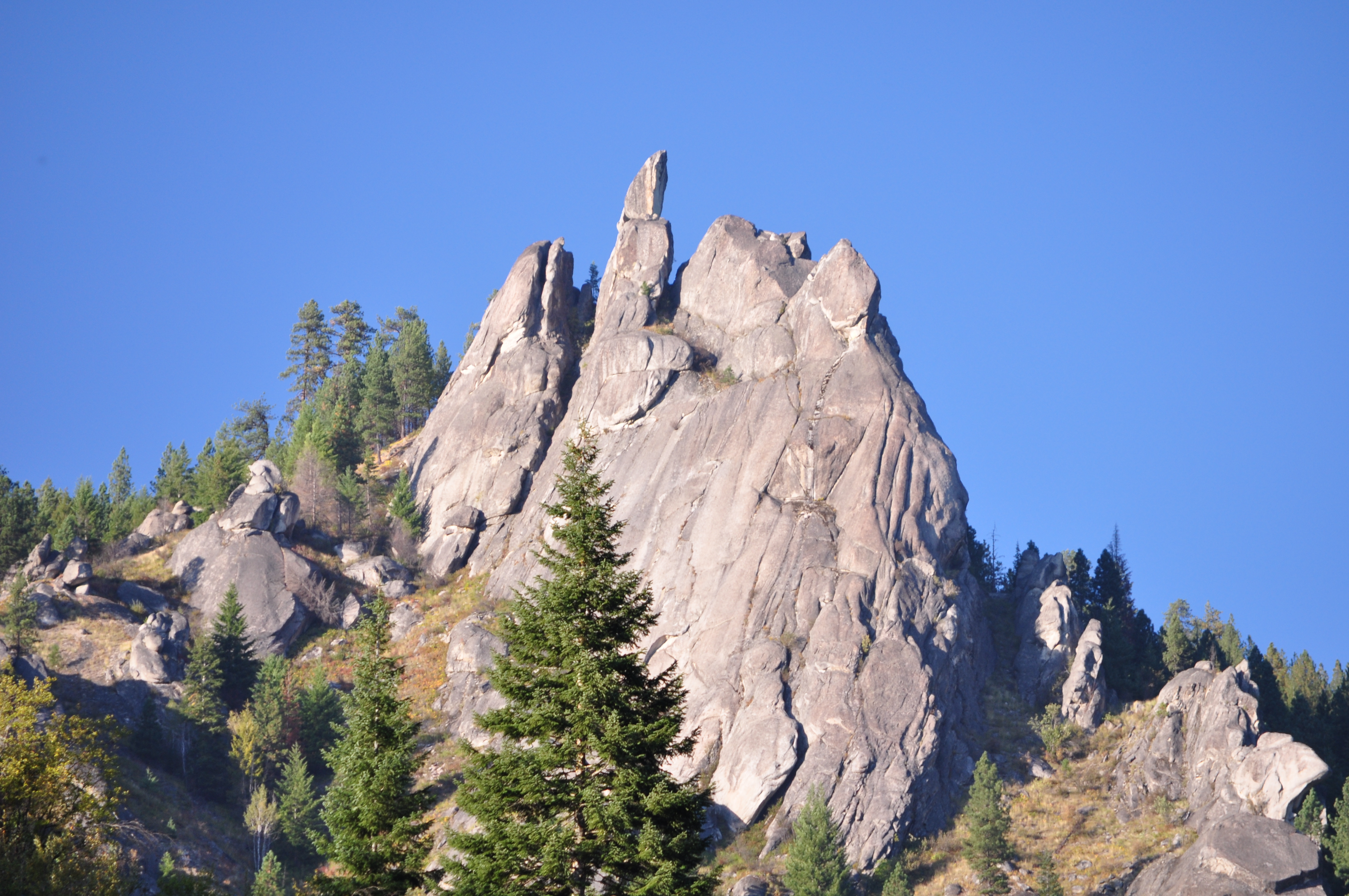
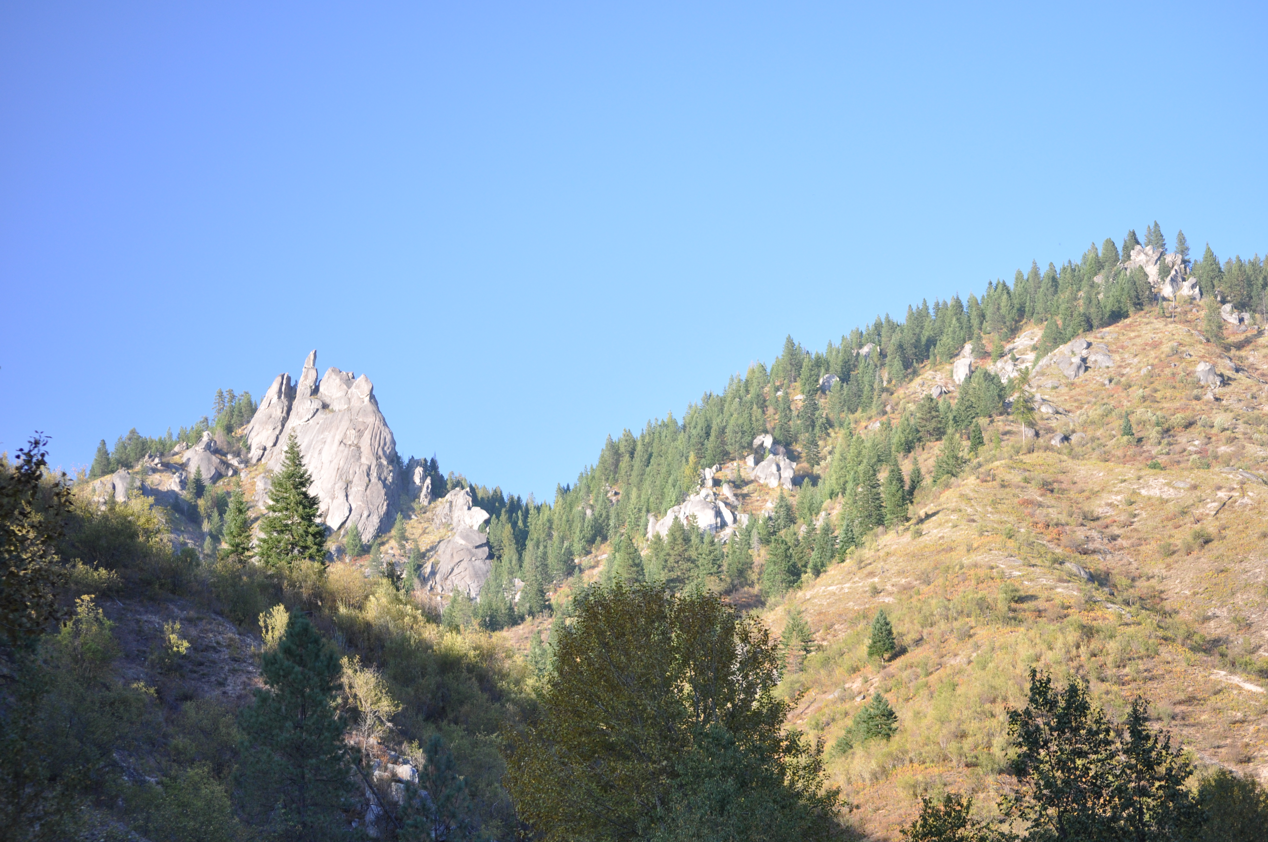
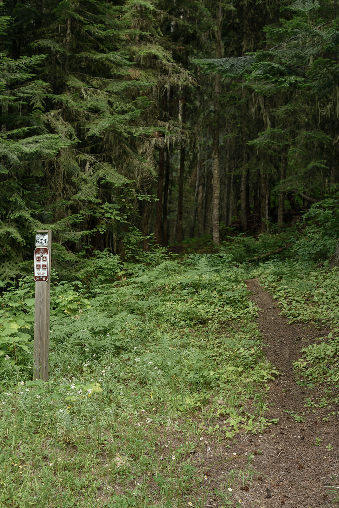
Related Photos:

Sunset from FL310 [Explored]
All is well

County Road 250
DSC_0599-375

KLR through it
DSC_0586-349
That’s our route?

Hoping we get there soon*
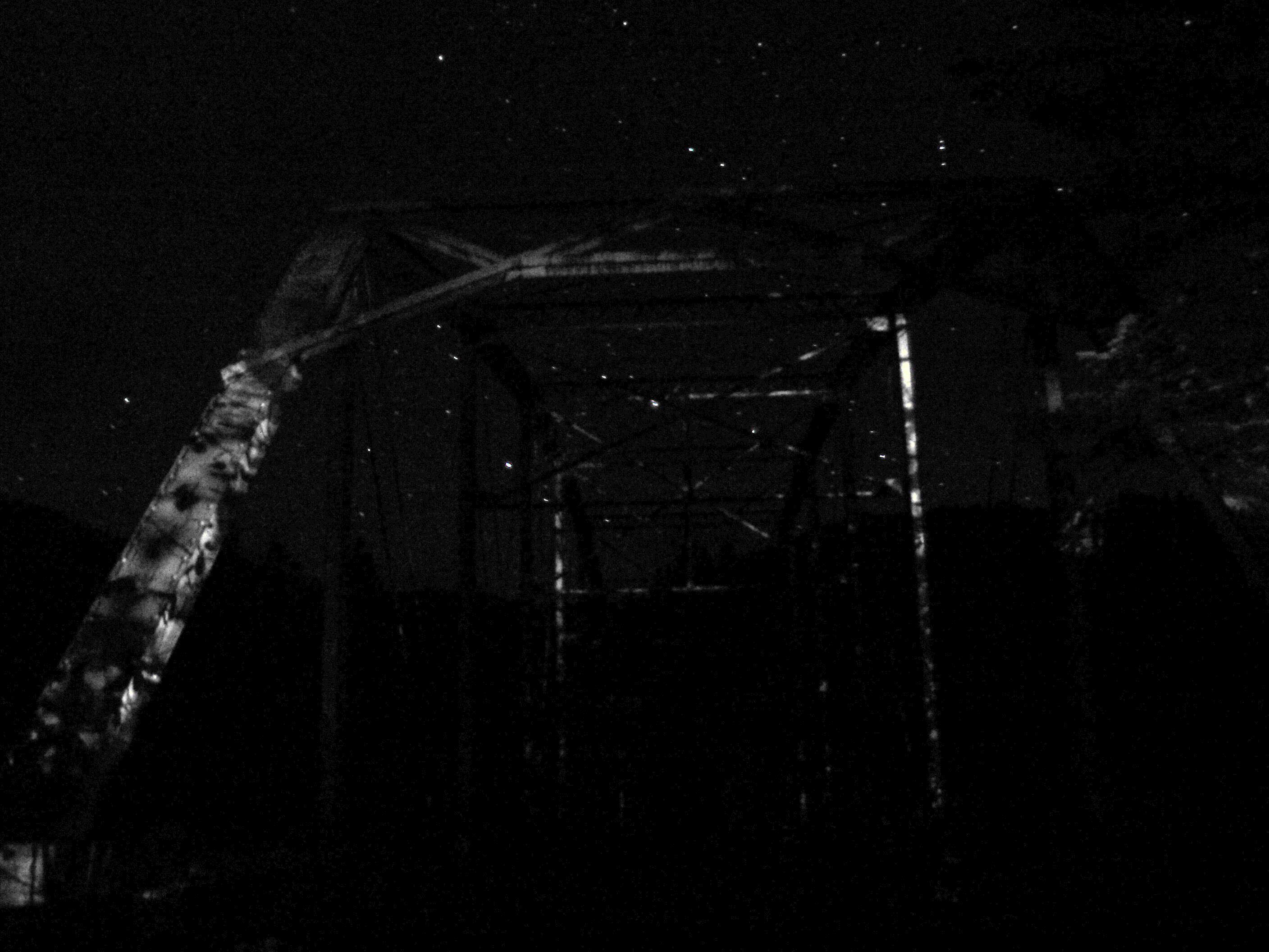
Steel Ghost
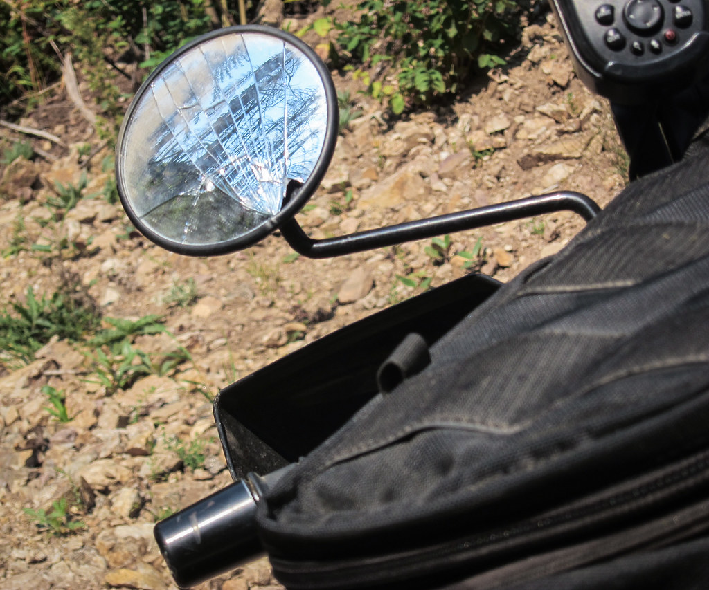
First damage*

Upstanding*

Resigned*
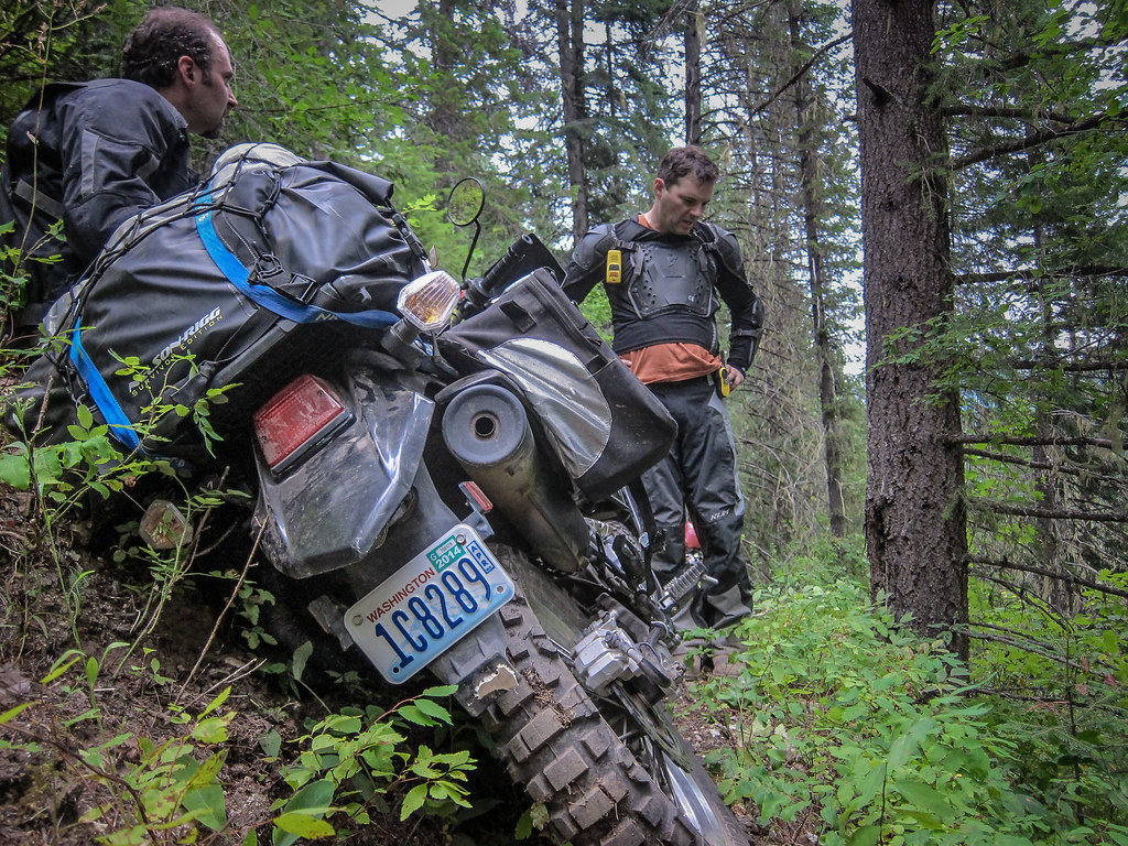
Resting in a “flat” spot*

R.I.P. Jim Willis

Back to it

Could have been worse

Attitude*

Storm brewing
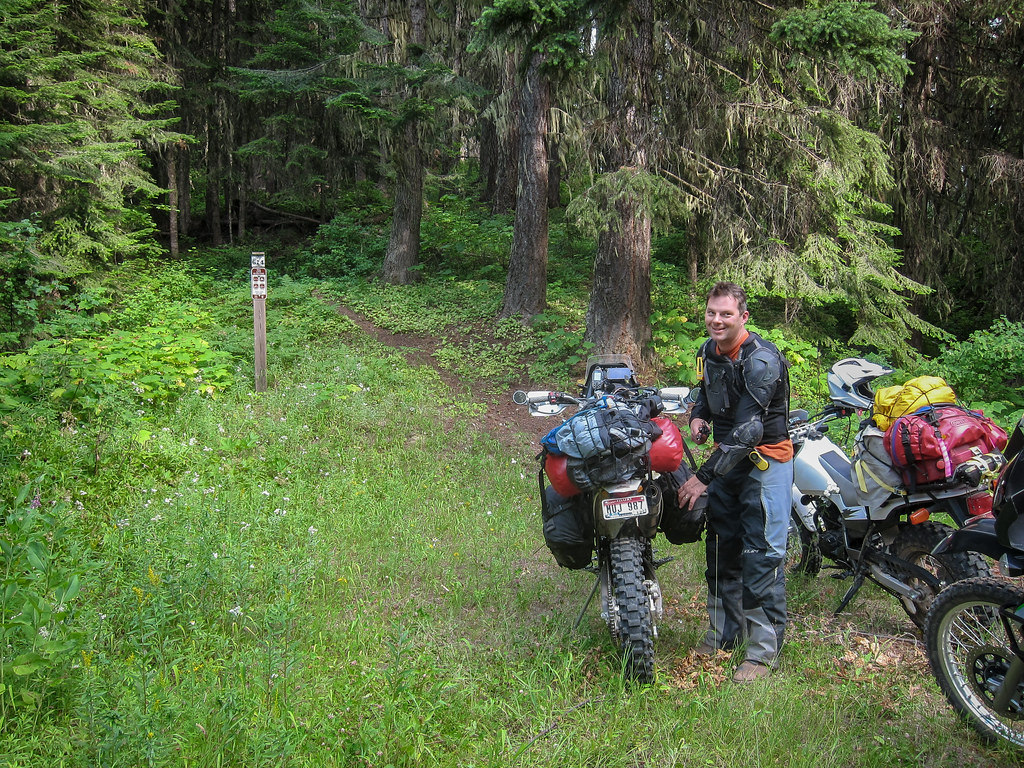
Larche Butte trailhead*

DSC_0614-405
Topographic Map of Clearwater County, ID, USA
Find elevation by address:

Places in Clearwater County, ID, USA:
Orofino
Pierce
Elk River
Weippe
ID-11, Nezperce, ID, USA
ID-11, Pierce, ID, USA
Tom Ho Rd, Lenore, ID, USA
Greer Grade Rd, Nezperce, ID, USA
Teakean Rd, Lenore, ID, USA
Idaho, USA
Greer
Cayuse Creek
Places near Clearwater County, ID, USA:
Idaho, USA
ID-11, Pierce, ID, USA
ID-11, Pierce, ID, USA
Pierce
French Mountain Rd, Pierce, ID, USA
18565 Upper Fords Creek Rd
18565 Upper Fords Creek Rd
18565 Upper Fords Creek Rd
Dismal Lake
Grangemont Rd, Orofino, ID, USA
Rudo Rd, Orofino, ID, USA
Black Bear Road
115 Mountain Lovers Ln
Johnson Mill Rd, Orofino, ID, USA
Huckleberry Butte Road
Dent Bridge Rd, Orofino, ID, USA
Huckleberry Butte, Orofino, ID, USA
1499 Dent Bridge Rd
Shoshone County
7481 Upper Fords Creek Rd
Recent Searches:
- Elevation of Corso Fratelli Cairoli, 35, Macerata MC, Italy
- Elevation of Tallevast Rd, Sarasota, FL, USA
- Elevation of 4th St E, Sonoma, CA, USA
- Elevation of Black Hollow Rd, Pennsdale, PA, USA
- Elevation of Oakland Ave, Williamsport, PA, USA
- Elevation of Pedrógão Grande, Portugal
- Elevation of Klee Dr, Martinsburg, WV, USA
- Elevation of Via Roma, Pieranica CR, Italy
- Elevation of Tavkvetili Mountain, Georgia
- Elevation of Hartfords Bluff Cir, Mt Pleasant, SC, USA