Elevation of Winchester Lake State Park, Forest Rd, Winchester, ID, USA
Location: United States > Idaho > Winchester >
Longitude: -116.62204
Latitude: 46.2343276
Elevation: 1192m / 3911feet
Barometric Pressure: 88KPa
Elevation Map:
Satellite Map:
Related Photos:
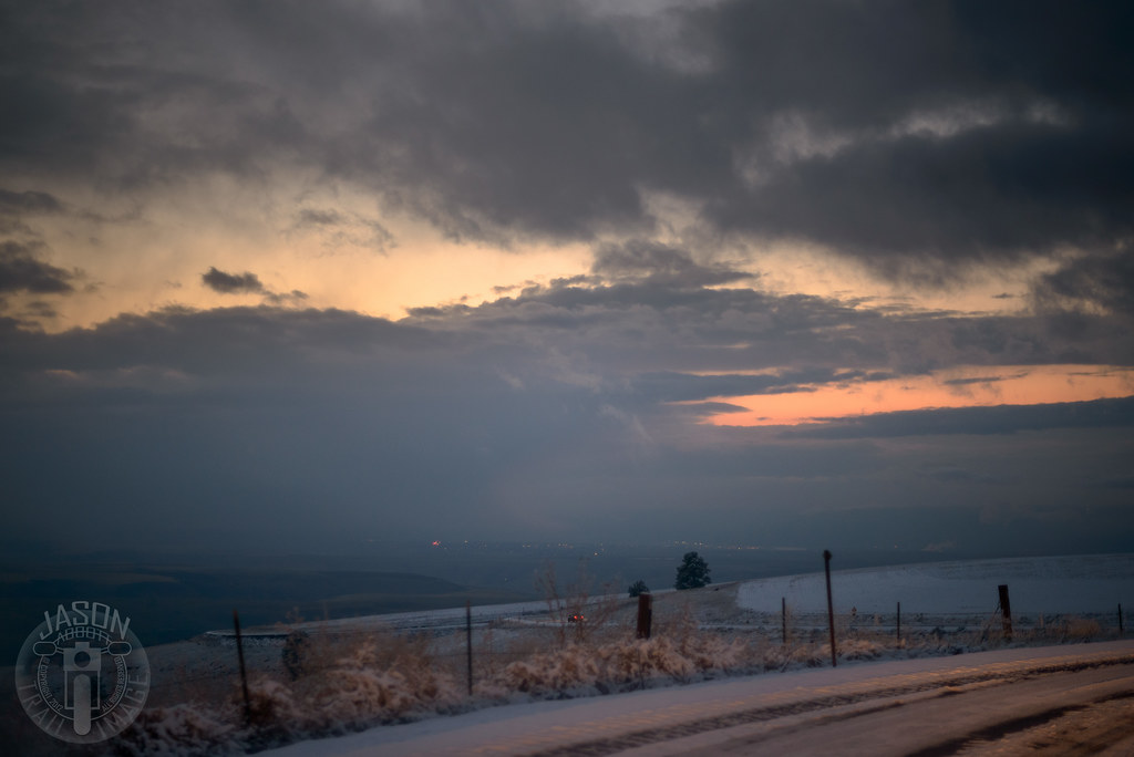
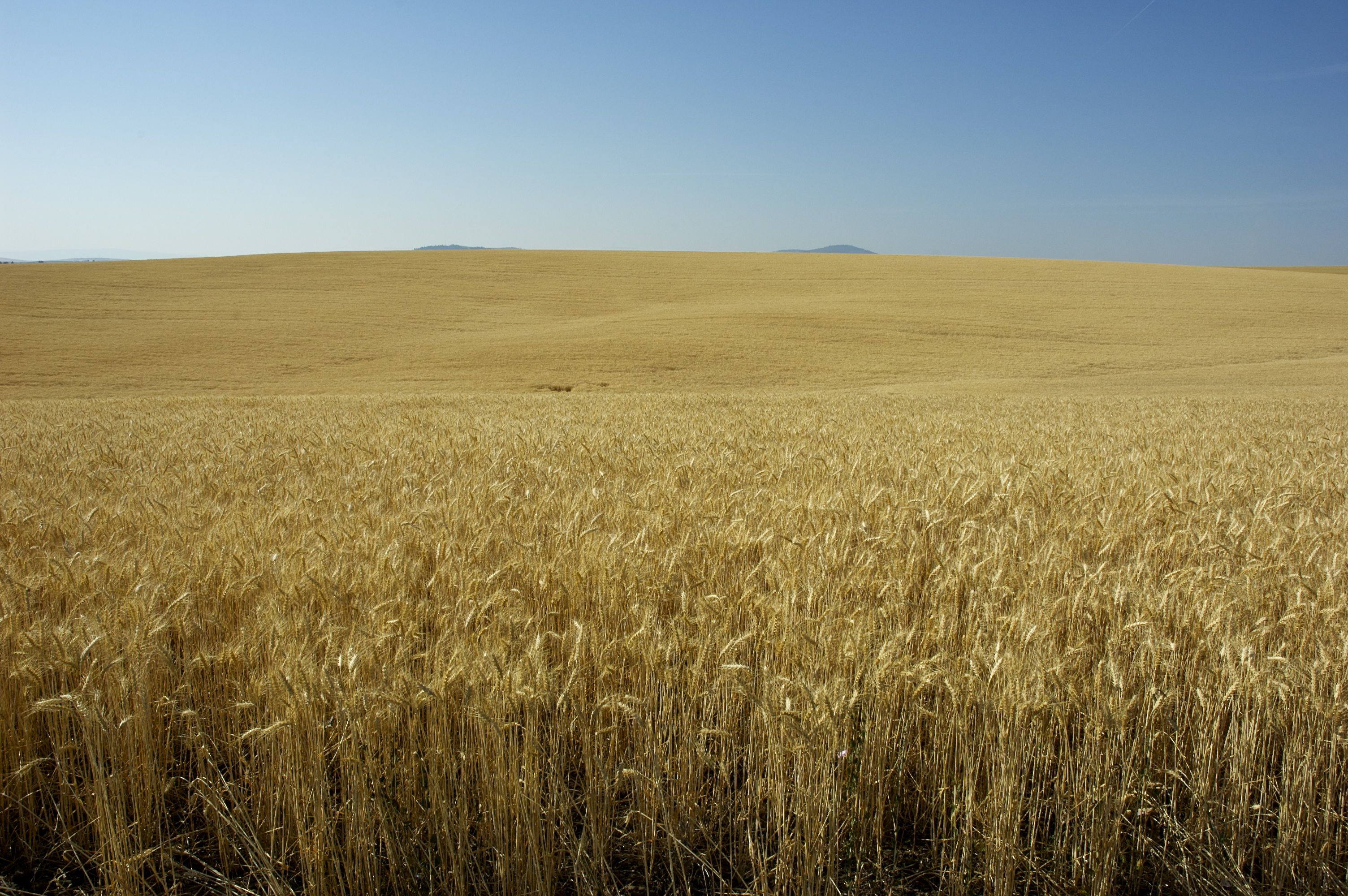
Lewiston from Winchester Grade
NT3.0033-CW1605618_38597
NT3.0033-CW1605618_38596
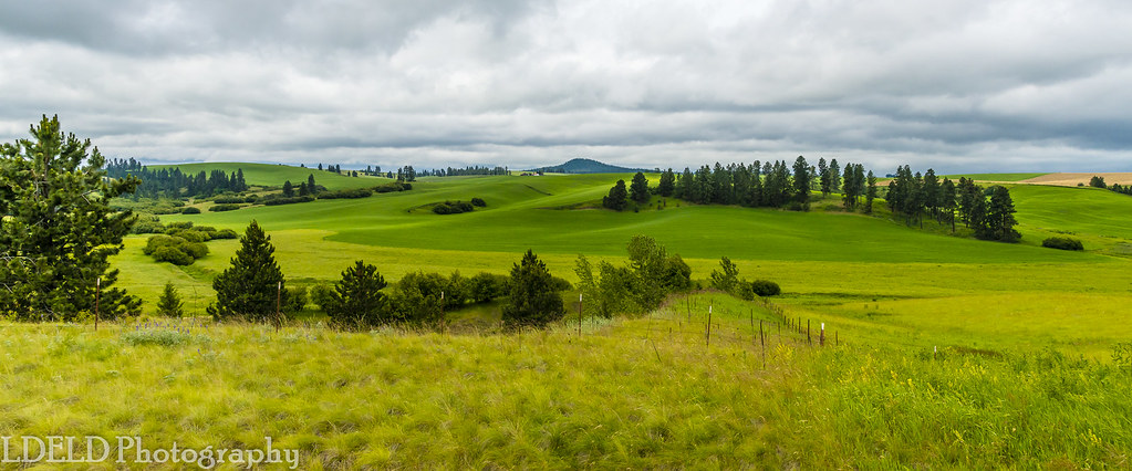
NT3.0033-CW1605618_38600-Pano
IMG_0960.JPG (2)
NT3.0033-CW1605618_38604

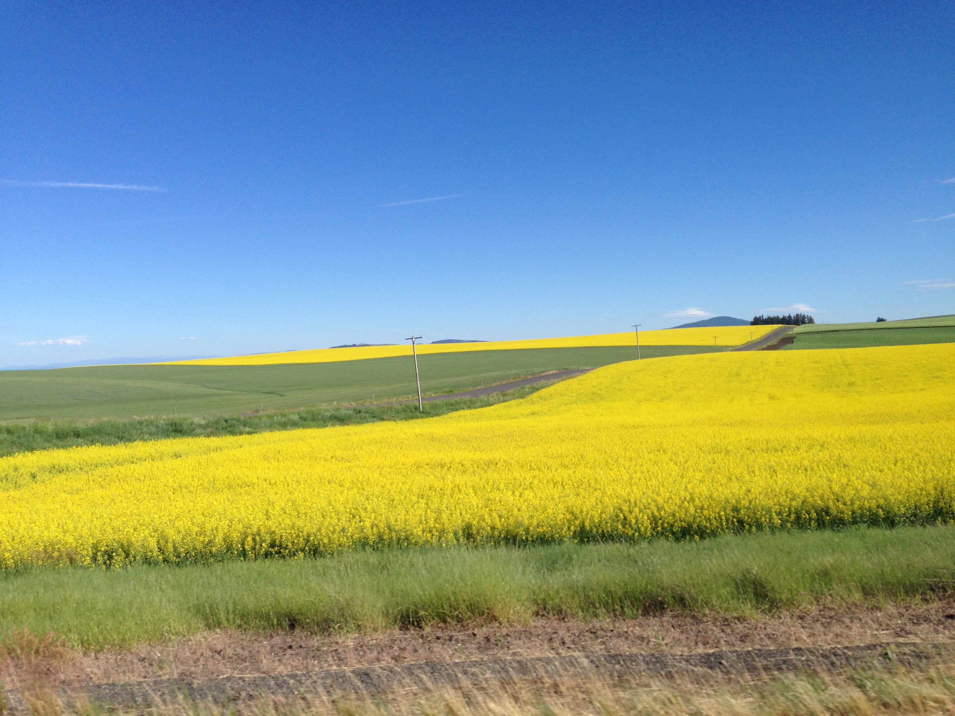
Camas Prairie Rapeseed
NT3.0033-CW1605618_38602

IMG_0957.JPG (2)

DSC_0262-a4
IMG_0959.JPG (2)
DSC_0256-a2
DSC_0258-a3
DSC_0255-a1
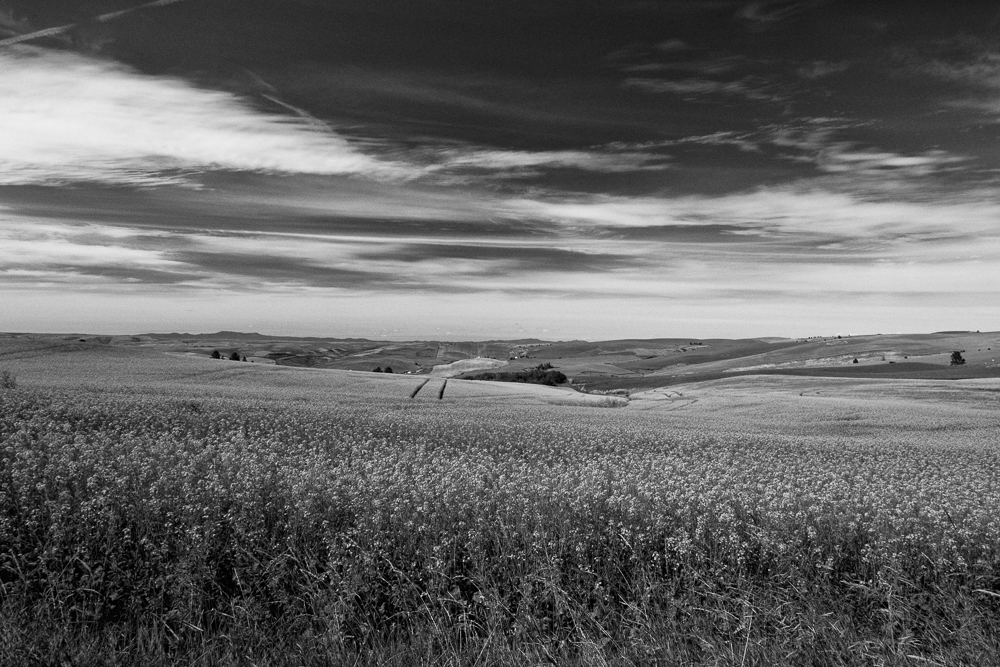
Canola Field - Black and White-3

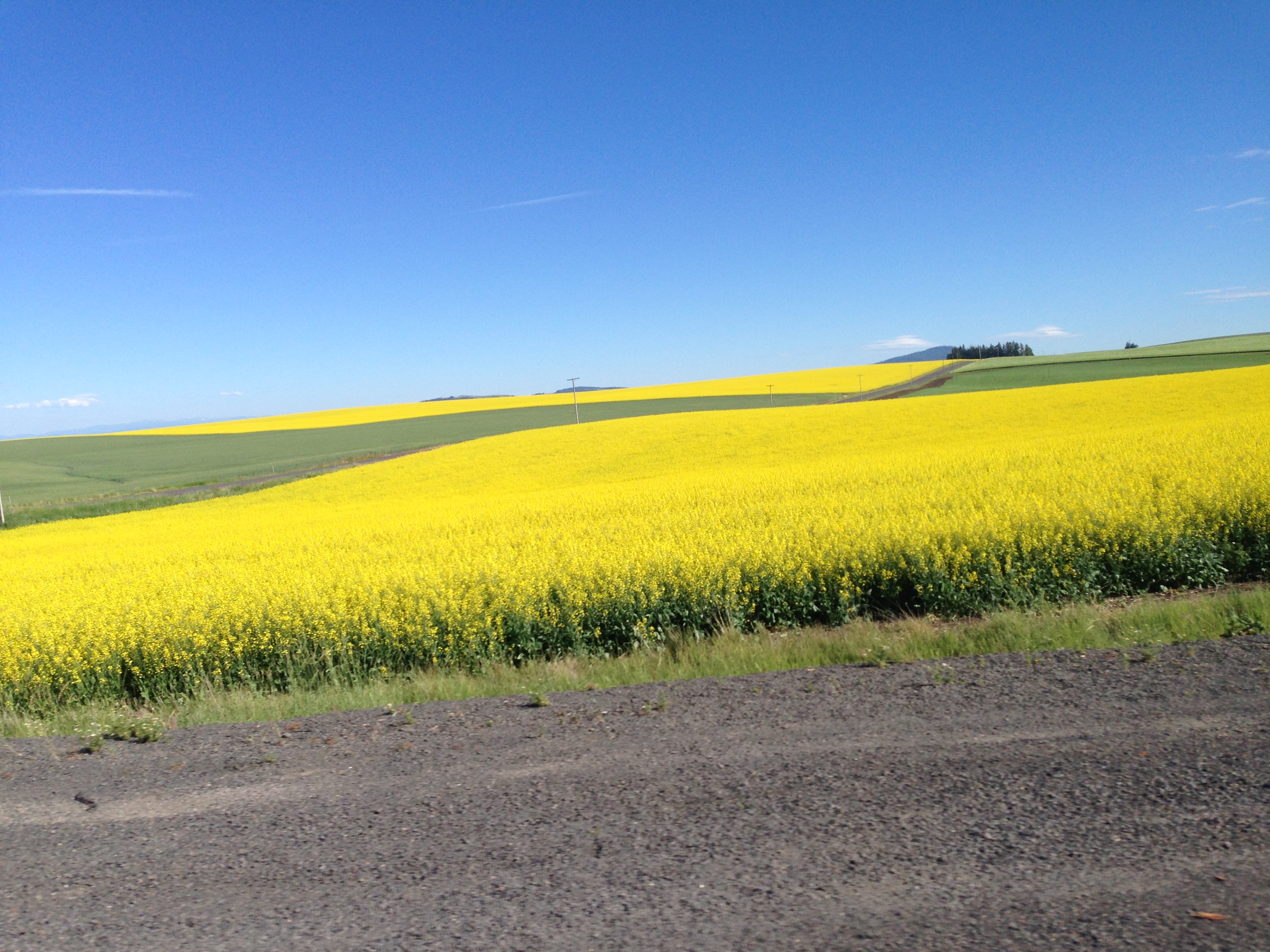
Canola Field
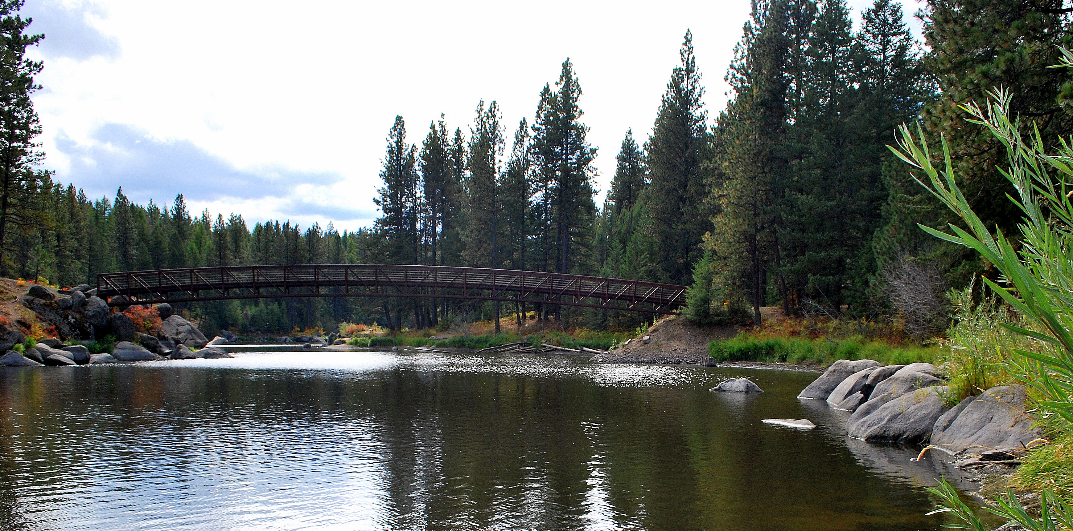
Winchester Lake State Park
Topographic Map of Winchester Lake State Park, Forest Rd, Winchester, ID, USA
Find elevation by address:

Places near Winchester Lake State Park, Forest Rd, Winchester, ID, USA:
Winchester
Forest Road
441 Olander Rd
Slickpoo
602 Main St
503 Culdesac Ave
Culdesac
Lewis County
Ferdinand
Main St, Ferdinand, ID, USA
Cottonwood
Junction St, Cottonwood, ID, USA
Graves Creek Road
Fourth Ave, Nezperce, ID, USA
Nezperce
ID-, Kamiah, ID, USA
Joseph
Canfield
Greer
Greer Grade Rd, Nezperce, ID, USA
Recent Searches:
- Elevation of Corso Fratelli Cairoli, 35, Macerata MC, Italy
- Elevation of Tallevast Rd, Sarasota, FL, USA
- Elevation of 4th St E, Sonoma, CA, USA
- Elevation of Black Hollow Rd, Pennsdale, PA, USA
- Elevation of Oakland Ave, Williamsport, PA, USA
- Elevation of Pedrógão Grande, Portugal
- Elevation of Klee Dr, Martinsburg, WV, USA
- Elevation of Via Roma, Pieranica CR, Italy
- Elevation of Tavkvetili Mountain, Georgia
- Elevation of Hartfords Bluff Cir, Mt Pleasant, SC, USA