Elevation of Lowari Tunnel, Upper Dir, Khyber Pakhtunkhwa, Pakistan
Location: Pakistan > Khyber Pakhtunkhwa > Upper Dir >
Longitude: 71.809119
Latitude: 35.3499171
Elevation: -10000m / -32808feet
Barometric Pressure: 0KPa
Related Photos:

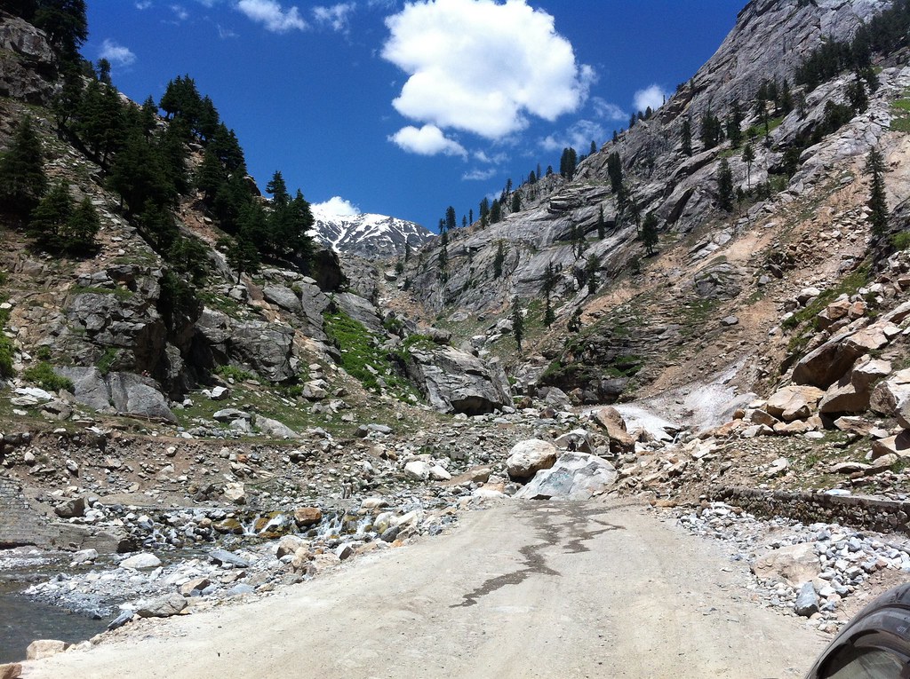
All Photos-318

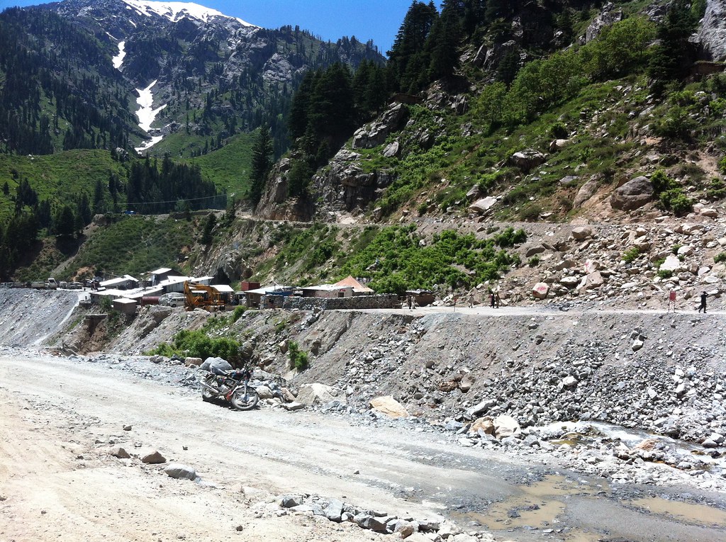
All Photos-319

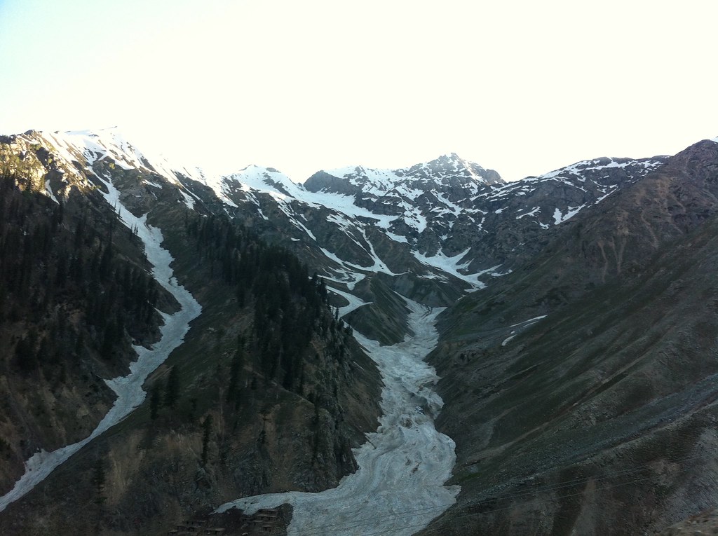
All Photos-367
All Photos-320

All Photos-317
All Photos-322

All Photos-325

All Photos-364

All Photos-368

All Photos-366
All Photos-324

All Photos-323

All Photos-327
Topographic Map of Lowari Tunnel, Upper Dir, Khyber Pakhtunkhwa, Pakistan
Find elevation by address:

Places near Lowari Tunnel, Upper Dir, Khyber Pakhtunkhwa, Pakistan:
Lowari Tunnel
Lowari Tunnel
Lowari Tunnel
Lowari Top
Lowari Pass
Lowari Tunnel Road
Dir
Dir
Sheringal
Shaheed Benazir Bhutto University, Sheringal
Drosh
Upper Dir
University Of Chitral
Ayun
Ayun
Bumburet Valley Bridge
Police Checkpost Bumburet Valley
Shandur Lake
Kumrat Valley
Chitral
Recent Searches:
- Elevation map of Litang County, Sichuan, China
- Elevation map of Madoi County, Qinghai, China
- Elevation of 3314, Ohio State Route 114, Payne, Paulding County, Ohio, 45880, USA
- Elevation of Sarahills Drive, Saratoga, Santa Clara County, California, 95070, USA
- Elevation of Town of Bombay, Franklin County, New York, USA
- Elevation of 9, Convent Lane, Center Moriches, Suffolk County, New York, 11934, USA
- Elevation of Saint Angelas Convent, 9, Convent Lane, Center Moriches, Suffolk County, New York, 11934, USA
- Elevation of 131st Street Southwest, Mukilteo, Snohomish County, Washington, 98275, USA
- Elevation of 304, Harrison Road, Naples, Cumberland County, Maine, 04055, USA
- Elevation of 2362, Timber Ridge Road, Harrisburg, Cabarrus County, North Carolina, 28075, USA
- Elevation of Ridge Road, Marshalltown, Marshall County, Iowa, 50158, USA
- Elevation of 2459, Misty Shadows Drive, Pigeon Forge, Sevier County, Tennessee, 37862, USA
- Elevation of 8043, Brightwater Way, Spring Hill, Williamson County, Tennessee, 37179, USA
- Elevation of Starkweather Road, San Luis, Costilla County, Colorado, 81152, USA
- Elevation of 5277, Woodside Drive, Baton Rouge, East Baton Rouge Parish, Louisiana, 70808, USA
- Elevation of 1139, Curtin Street, Shepherd Park Plaza, Houston, Harris County, Texas, 77018, USA
- Elevation of 136, Sellers Lane, Repton, Monroe County, Alabama, 36475, USA
- Elevation of 12914, Elmington Drive, Lakewood Forest, Houston, Harris County, Texas, 77429, USA
- Elevation of 417, Camelot Drive, Statesville, Iredell County, North Carolina, 28625, USA
- Elevation of 5792, Wildridge Road, Avon, Eagle County, Colorado, 81620, USA