Elevation of Lowari Top, Upper Dir, Khyber Pakhtunkhwa, Pakistan
Location: Pakistan > Khyber Pakhtunkhwa > Upper Dir > Dir >
Longitude: 71.8030225
Latitude: 35.3491545
Elevation: 3035m / 9957feet
Barometric Pressure: 70KPa
Elevation Map:
Satellite Map:
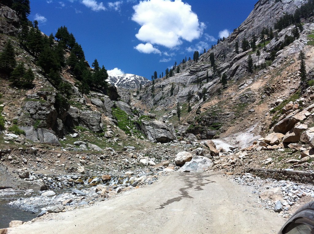
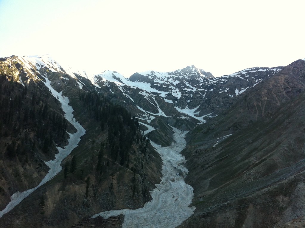
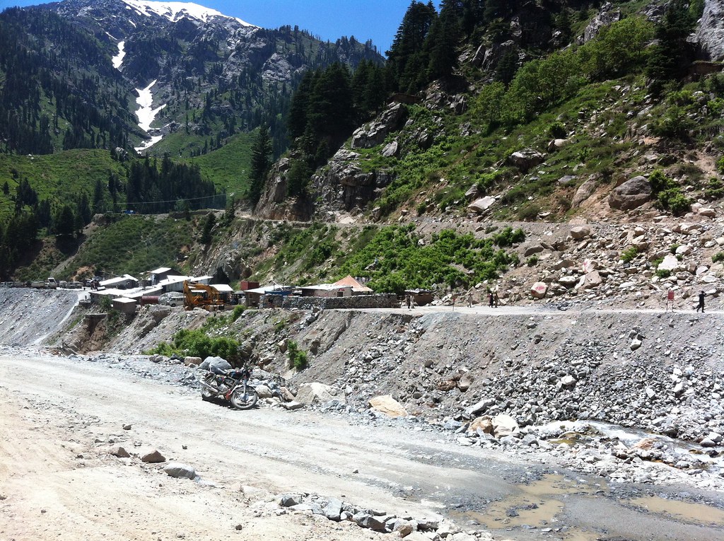
Related Photos:

The glacier

All Photos-367

All Photos-368
All Photos-320

All Photos-325

All Photos-366

All Photos-318

All Photos-363

All Photos-326

All Photos-317

All Photos-323
All Photos-324
All Photos-322
Topographic Map of Lowari Top, Upper Dir, Khyber Pakhtunkhwa, Pakistan
Find elevation by address:

Places near Lowari Top, Upper Dir, Khyber Pakhtunkhwa, Pakistan:
Lowari Pass
Lowari Tunnel
Lowari Tunnel
Lowari Tunnel
Lowari Tunnel
Lowari Tunnel Road
Dir
Dir
Sheringal
Shaheed Benazir Bhutto University, Sheringal
Drosh
Upper Dir
University Of Chitral
Ayun
Ayun
Bumburet Valley Bridge
Police Checkpost Bumburet Valley
Shandur Lake
Kumrat Valley
Chitral
Recent Searches:
- Elevation of Corso Fratelli Cairoli, 35, Macerata MC, Italy
- Elevation of Tallevast Rd, Sarasota, FL, USA
- Elevation of 4th St E, Sonoma, CA, USA
- Elevation of Black Hollow Rd, Pennsdale, PA, USA
- Elevation of Oakland Ave, Williamsport, PA, USA
- Elevation of Pedrógão Grande, Portugal
- Elevation of Klee Dr, Martinsburg, WV, USA
- Elevation of Via Roma, Pieranica CR, Italy
- Elevation of Tavkvetili Mountain, Georgia
- Elevation of Hartfords Bluff Cir, Mt Pleasant, SC, USA