Elevation of Shaheed Benazir Bhutto University, Sheringal, District Dir(Upper)، Khyber Pakhtunkhwa، Sheringal, Upper Dir, Khyber Pakhtunkhwa, Pakistan
Location: Pakistan > Khyber Pakhtunkhwa > Upper Dir > Sheringal >
Longitude: 72.0049614
Latitude: 35.2737613
Elevation: 1371m / 4498feet
Barometric Pressure: 86KPa
Elevation Map:
Satellite Map:
Related Photos:
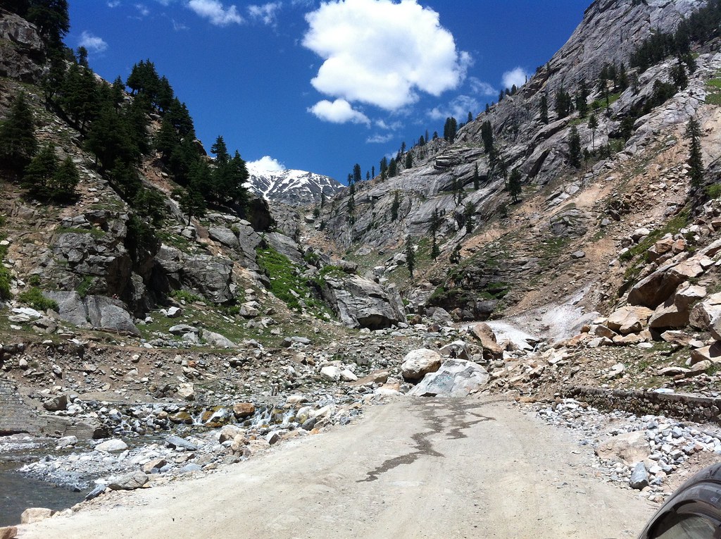
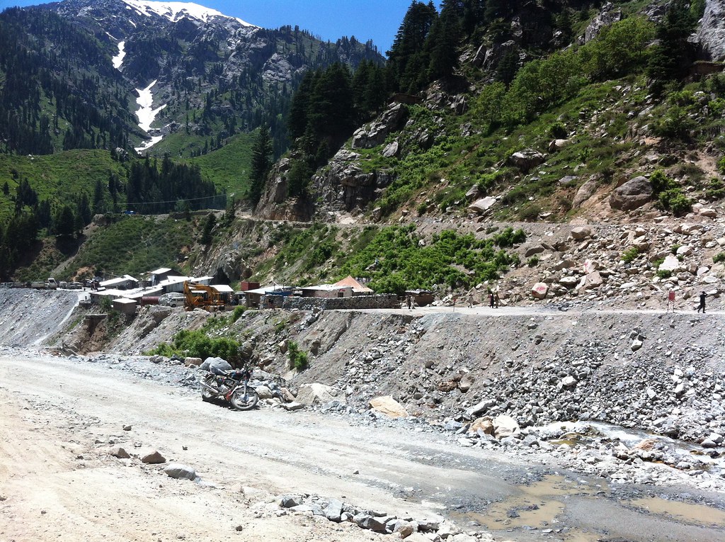
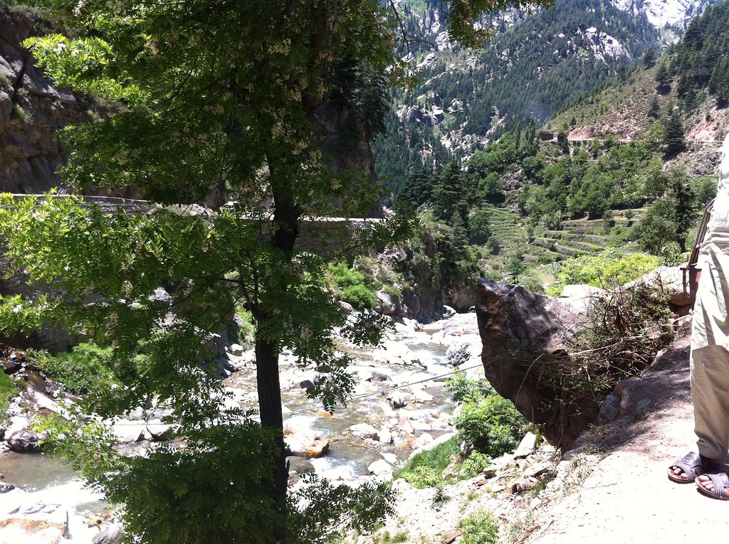
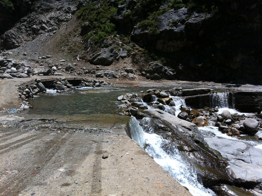
All Photos-320

All Photos-318

All Photos-317
All Photos-322

All Photos-138

All Photos-137

All Photos-136
All Photos-135

All Photos-134
All Photos-133

All Photos-132

Day 32 Flash Flood Upper Dir District Pakistan

All Photos-321

All Photos-319

All Photos-316

Pakistan_1992_001 Lorry driver (HE-01)
Topographic Map of Shaheed Benazir Bhutto University, Sheringal, District Dir(Upper)، Khyber Pakhtunkhwa، Sheringal, Upper Dir, Khyber Pakhtunkhwa, Pakistan
Find elevation by address:

Places near Shaheed Benazir Bhutto University, Sheringal, District Dir(Upper)، Khyber Pakhtunkhwa، Sheringal, Upper Dir, Khyber Pakhtunkhwa, Pakistan:
Sheringal
Dir
Upper Dir
Dir
Lowari Tunnel
Lowari Tunnel
Lowari Tunnel
Lowari Tunnel
Lowari Top
Lowari Pass
Shandur Lake
Lowari Tunnel Road
Kumrat Valley
Katora Lake
Drosh
Pari Lake
Kundol Lake
University Of Chitral
Chhota Jabba
Ayun
Recent Searches:
- Elevation of Corso Fratelli Cairoli, 35, Macerata MC, Italy
- Elevation of Tallevast Rd, Sarasota, FL, USA
- Elevation of 4th St E, Sonoma, CA, USA
- Elevation of Black Hollow Rd, Pennsdale, PA, USA
- Elevation of Oakland Ave, Williamsport, PA, USA
- Elevation of Pedrógão Grande, Portugal
- Elevation of Klee Dr, Martinsburg, WV, USA
- Elevation of Via Roma, Pieranica CR, Italy
- Elevation of Tavkvetili Mountain, Georgia
- Elevation of Hartfords Bluff Cir, Mt Pleasant, SC, USA