Elevation of Drosh, Pakistan
Location: Pakistan > Khyber Pakhtunkhwa > Chitral >
Longitude: 71.8037638
Latitude: 35.5684476
Elevation: 1322m / 4337feet
Barometric Pressure: 86KPa
Elevation Map:
Satellite Map:
Related Photos:

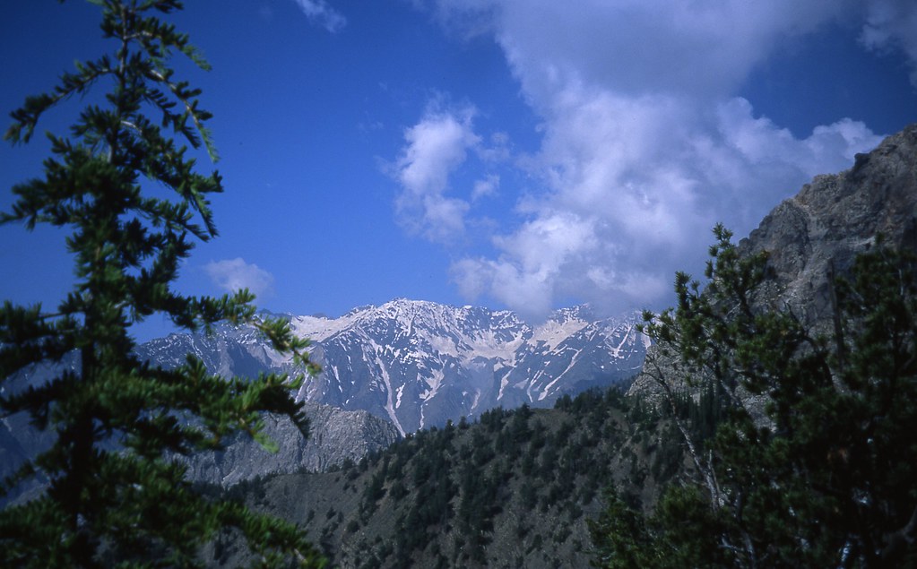
The Hindukush II

The Hindukush I
Pak_001S Kalash Valleys
Topographic Map of Drosh, Pakistan
Find elevation by address:

Places near Drosh, Pakistan:
University Of Chitral
Ayun
Ayun
Bumburet Valley Bridge
Police Checkpost Bumburet Valley
Lowari Tunnel Road
Lowari Tunnel
Lowari Tunnel
Lowari Tunnel
Lowari Tunnel
Lowari Pass
Lowari Top
Chitral
Chitral
Chitral Airport
M.c Chitral
Dir
Sheringal
Shaheed Benazir Bhutto University, Sheringal
Dir
Recent Searches:
- Elevation of Corso Fratelli Cairoli, 35, Macerata MC, Italy
- Elevation of Tallevast Rd, Sarasota, FL, USA
- Elevation of 4th St E, Sonoma, CA, USA
- Elevation of Black Hollow Rd, Pennsdale, PA, USA
- Elevation of Oakland Ave, Williamsport, PA, USA
- Elevation of Pedrógão Grande, Portugal
- Elevation of Klee Dr, Martinsburg, WV, USA
- Elevation of Via Roma, Pieranica CR, Italy
- Elevation of Tavkvetili Mountain, Georgia
- Elevation of Hartfords Bluff Cir, Mt Pleasant, SC, USA