Elevation of Little Horn Dr, Westcliffe, CO, USA
Location: United States > Colorado > Westcliffe >
Longitude: -105.3019459
Latitude: 38.2080009
Elevation: 2620m / 8596feet
Barometric Pressure: 0KPa
Related Photos:
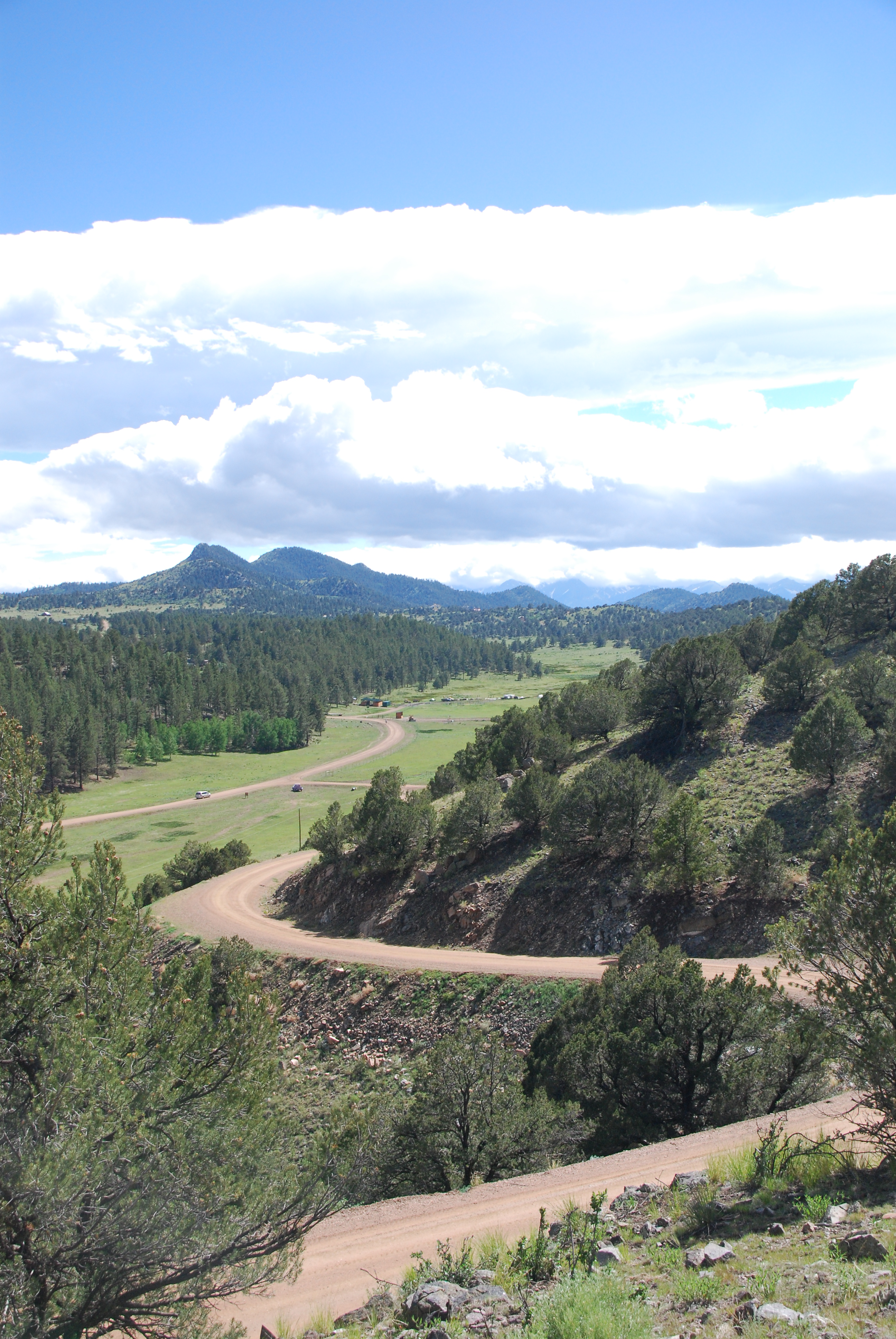
IMG_0410 View from State Hwy 96 southwest of Canon City 38.000d10.000m26.516s N 105.000d10.000m22.982s W
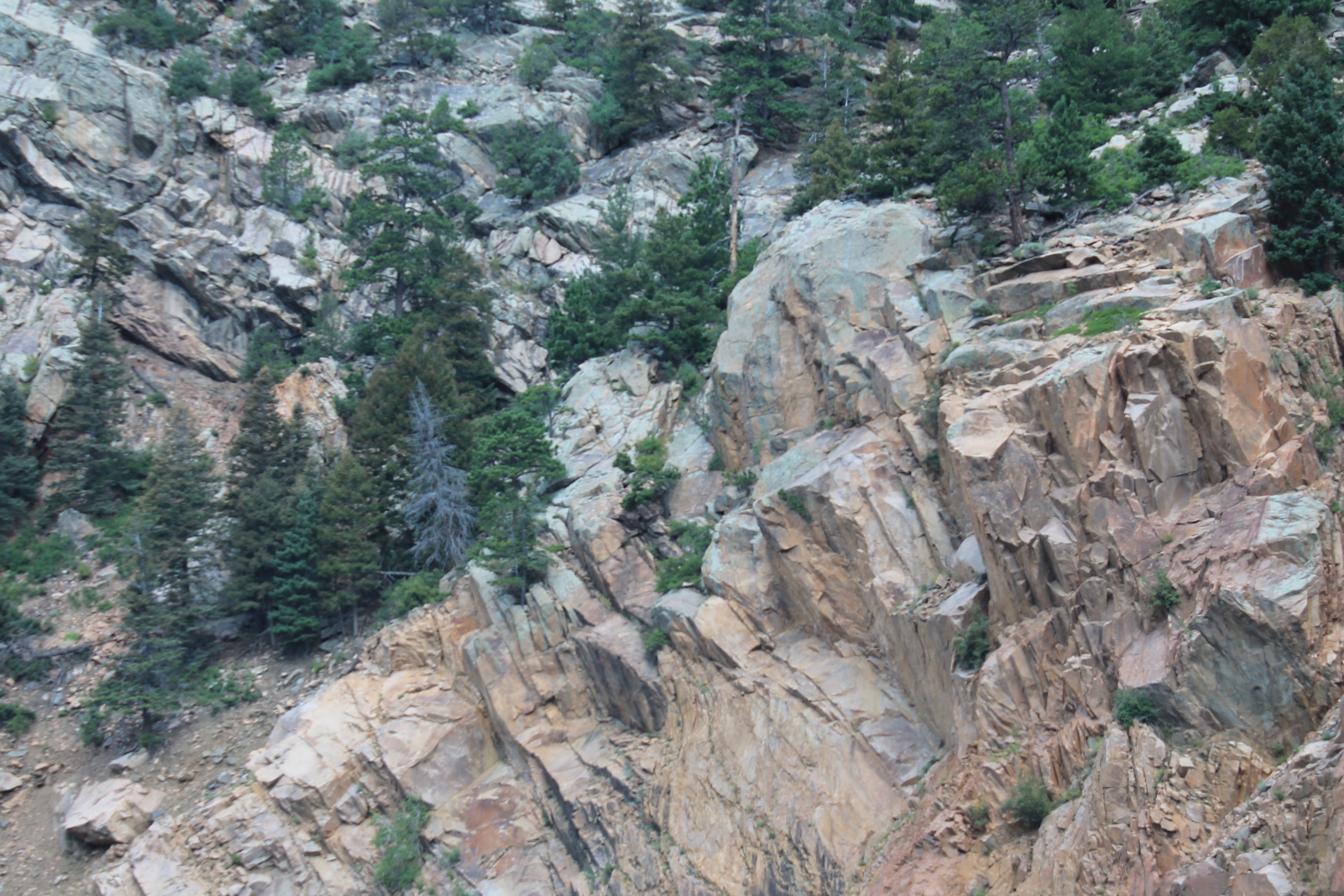
Grape Creek
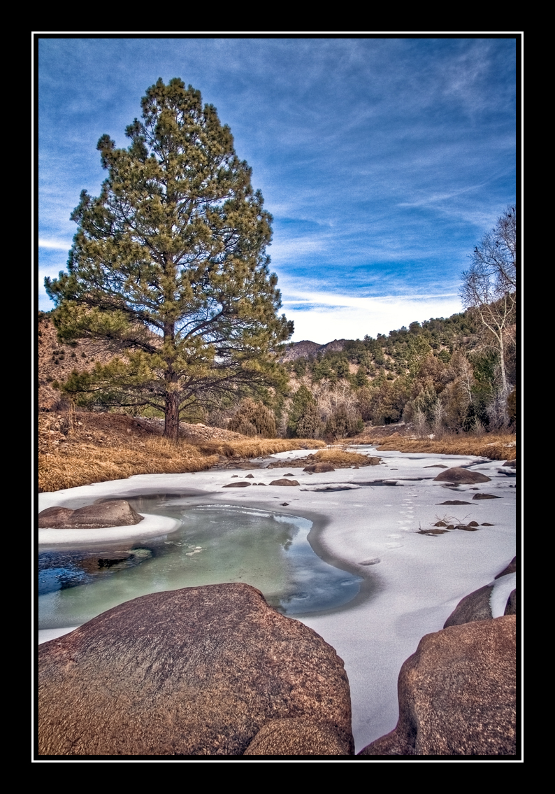
Back in Time

HARDSCRABBLE BIGHORN RAM

Roadside Grazing
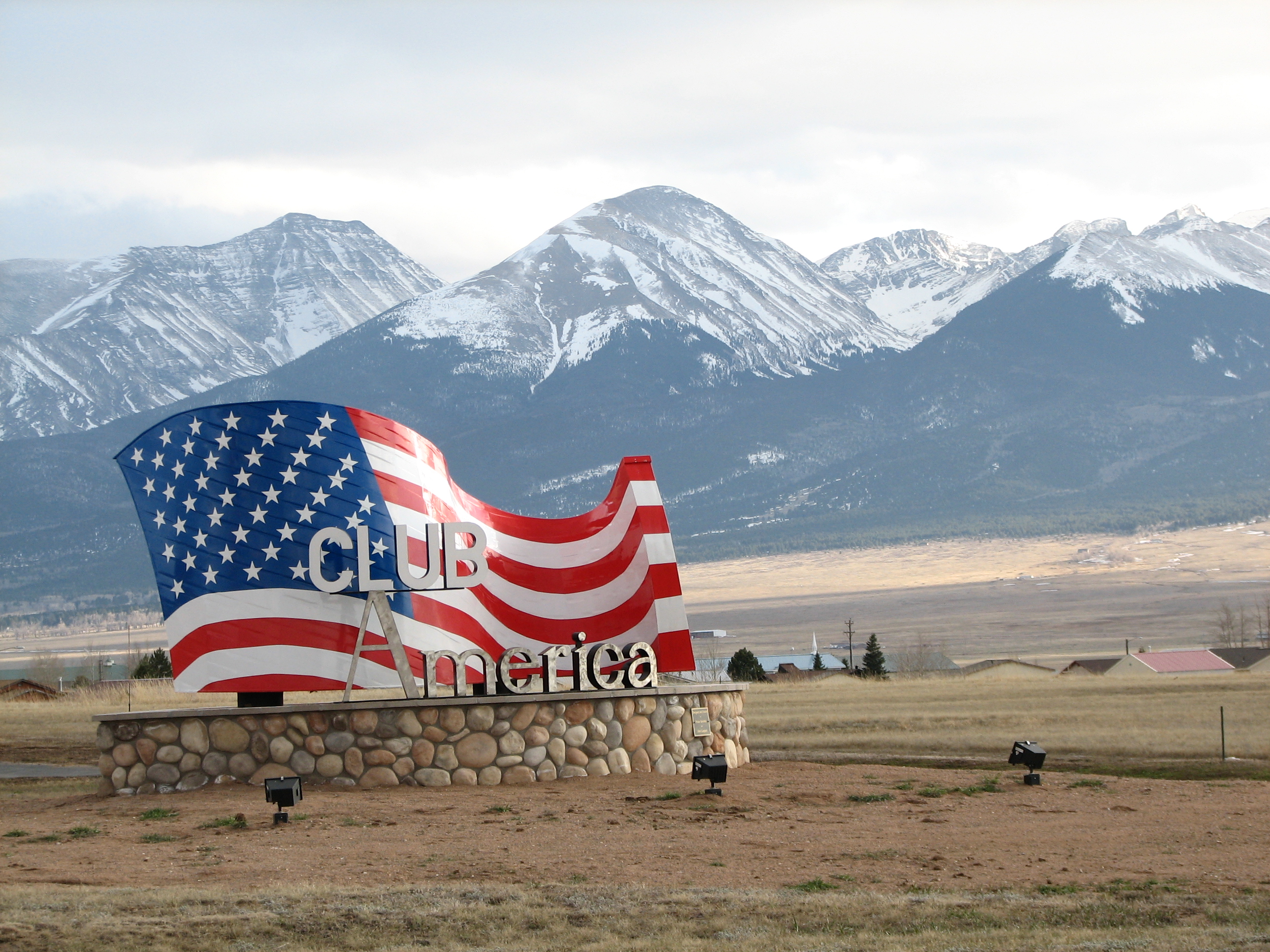
Club America
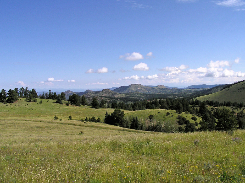
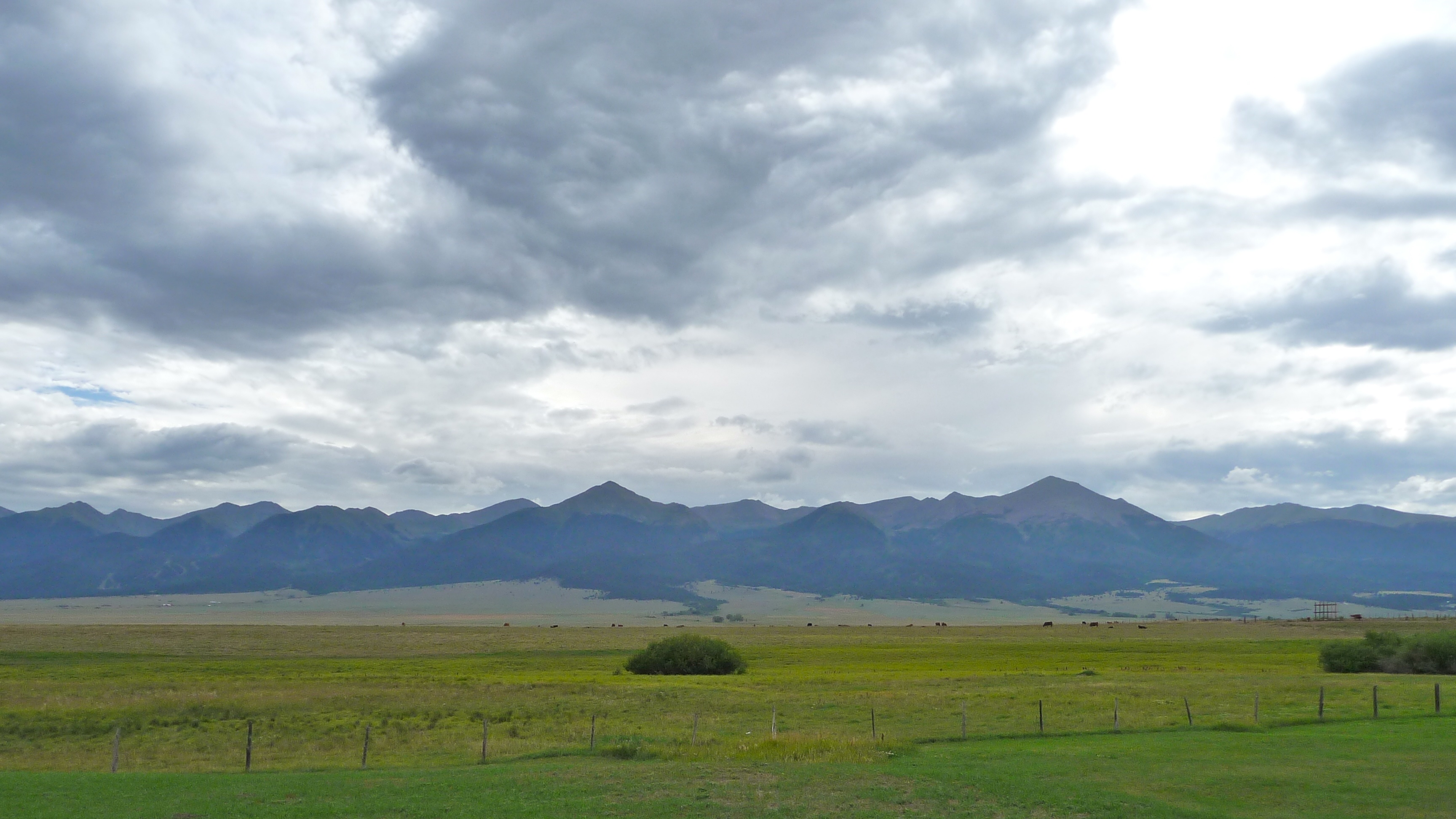
View to the N/NW form the property
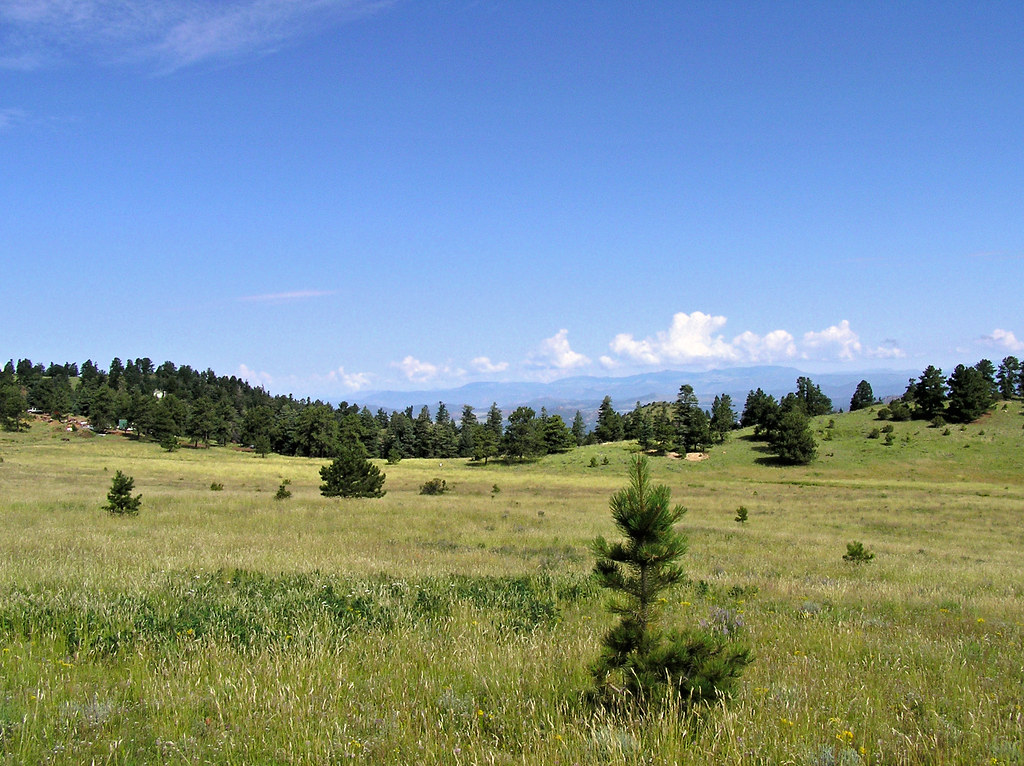
View to the N/NW form the property
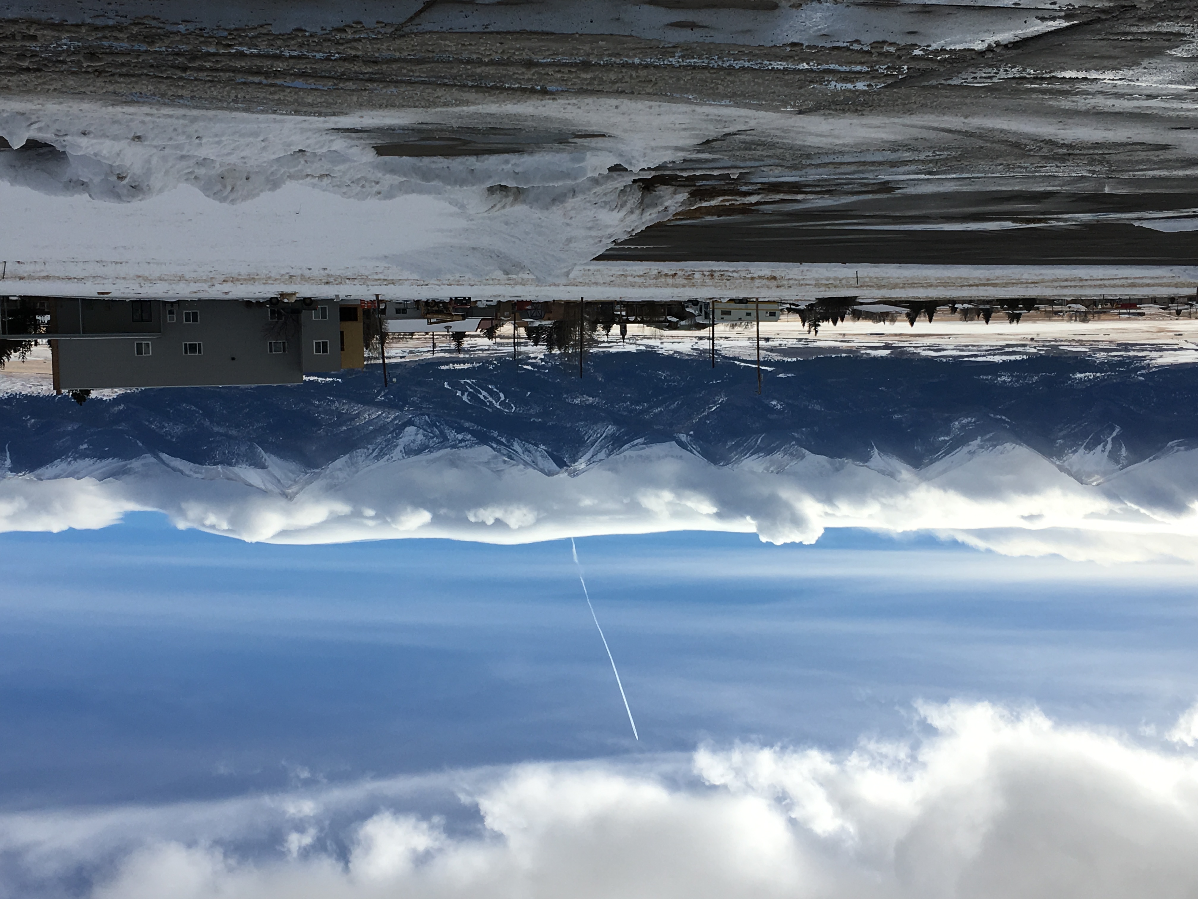
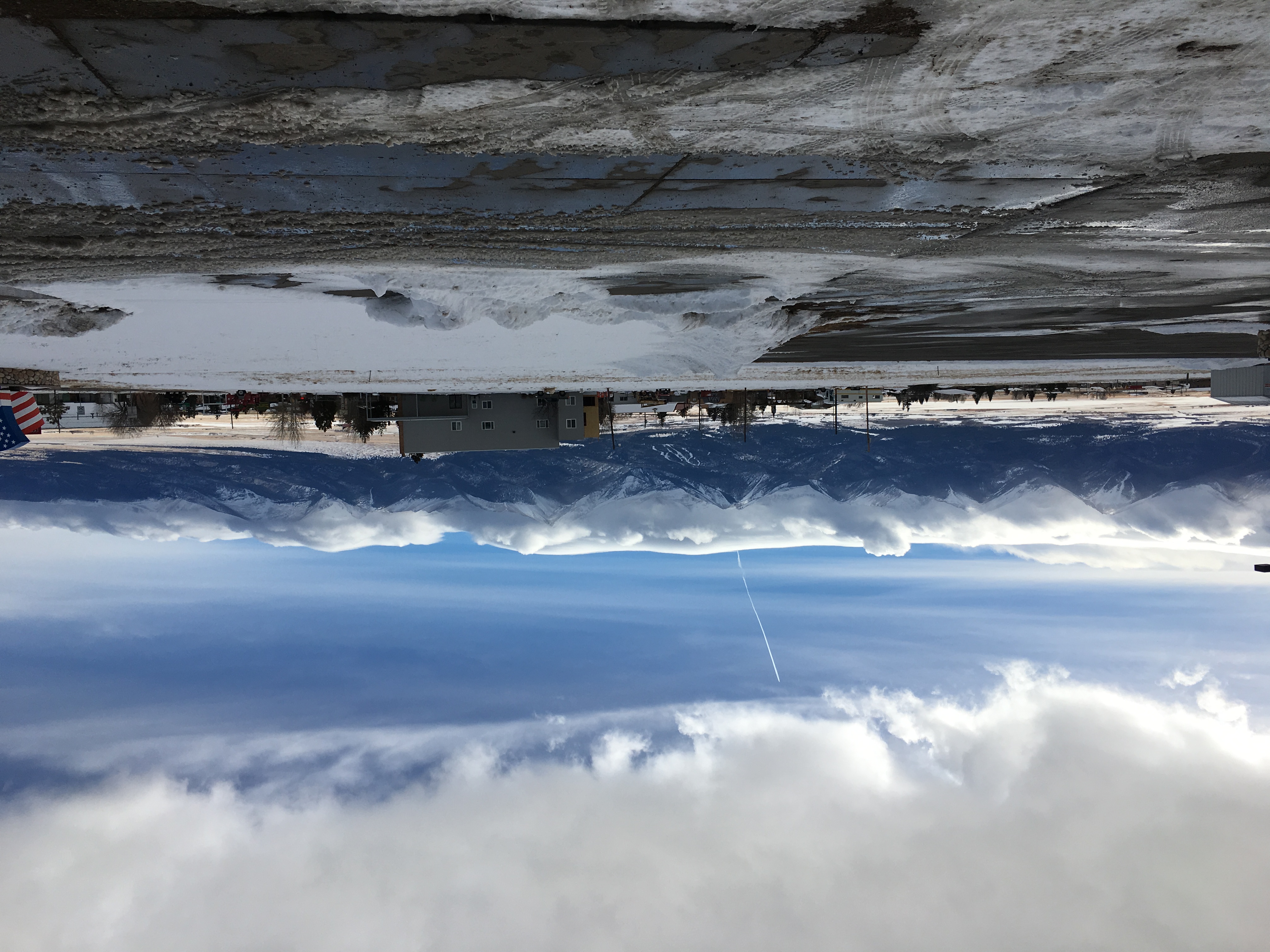
2017-01-08 14.40.15

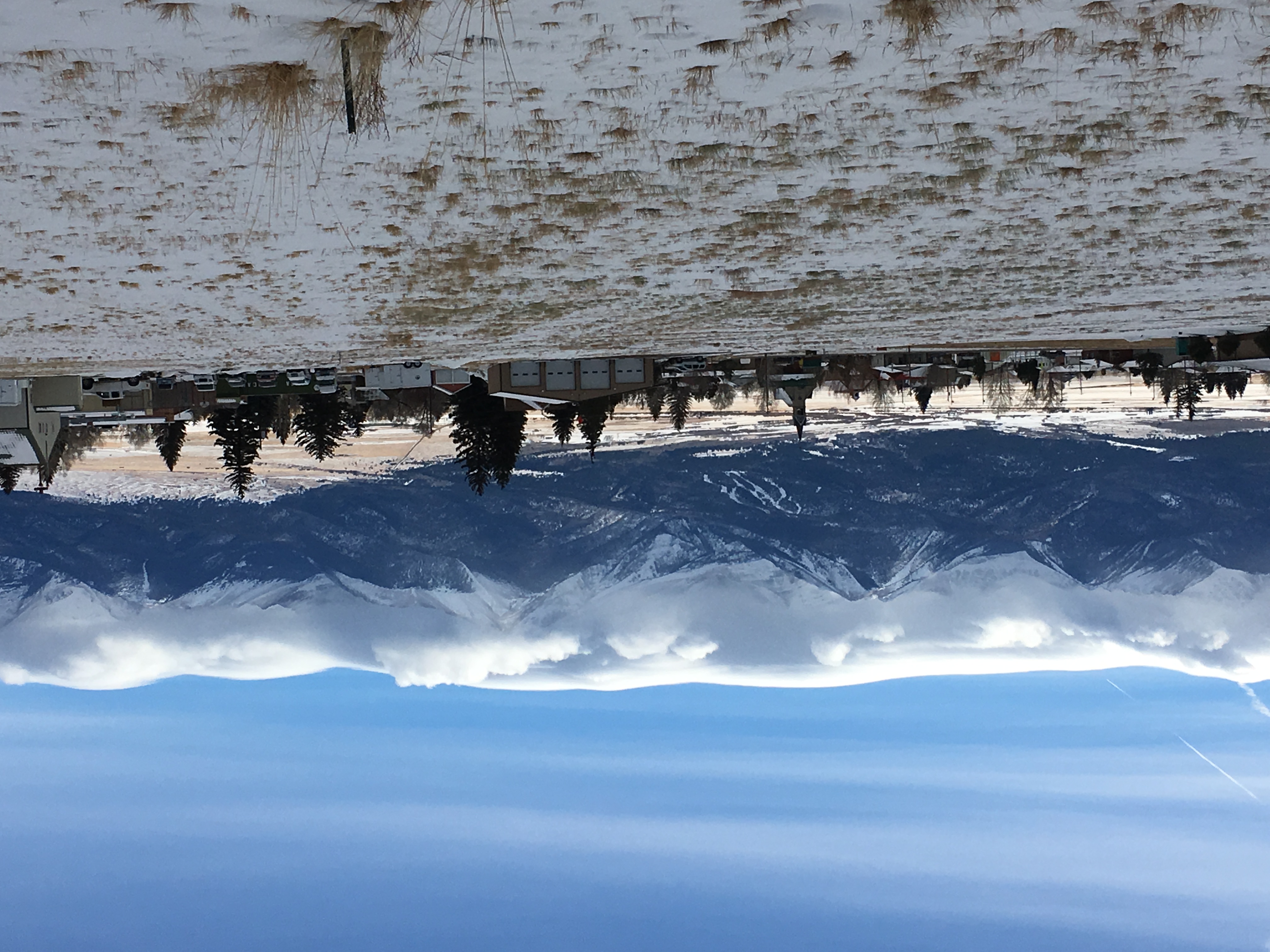
2017-01-08 14.47.04
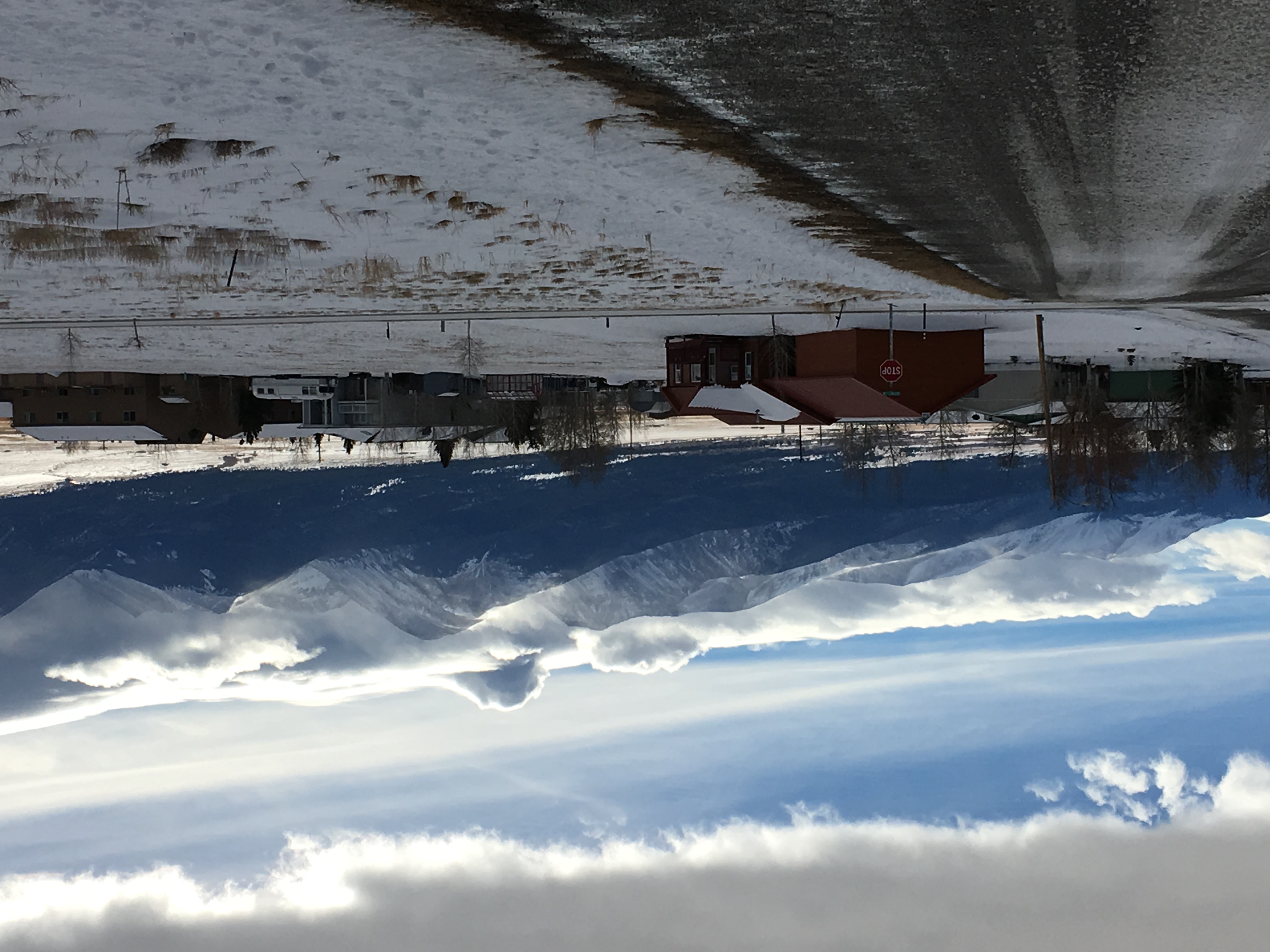
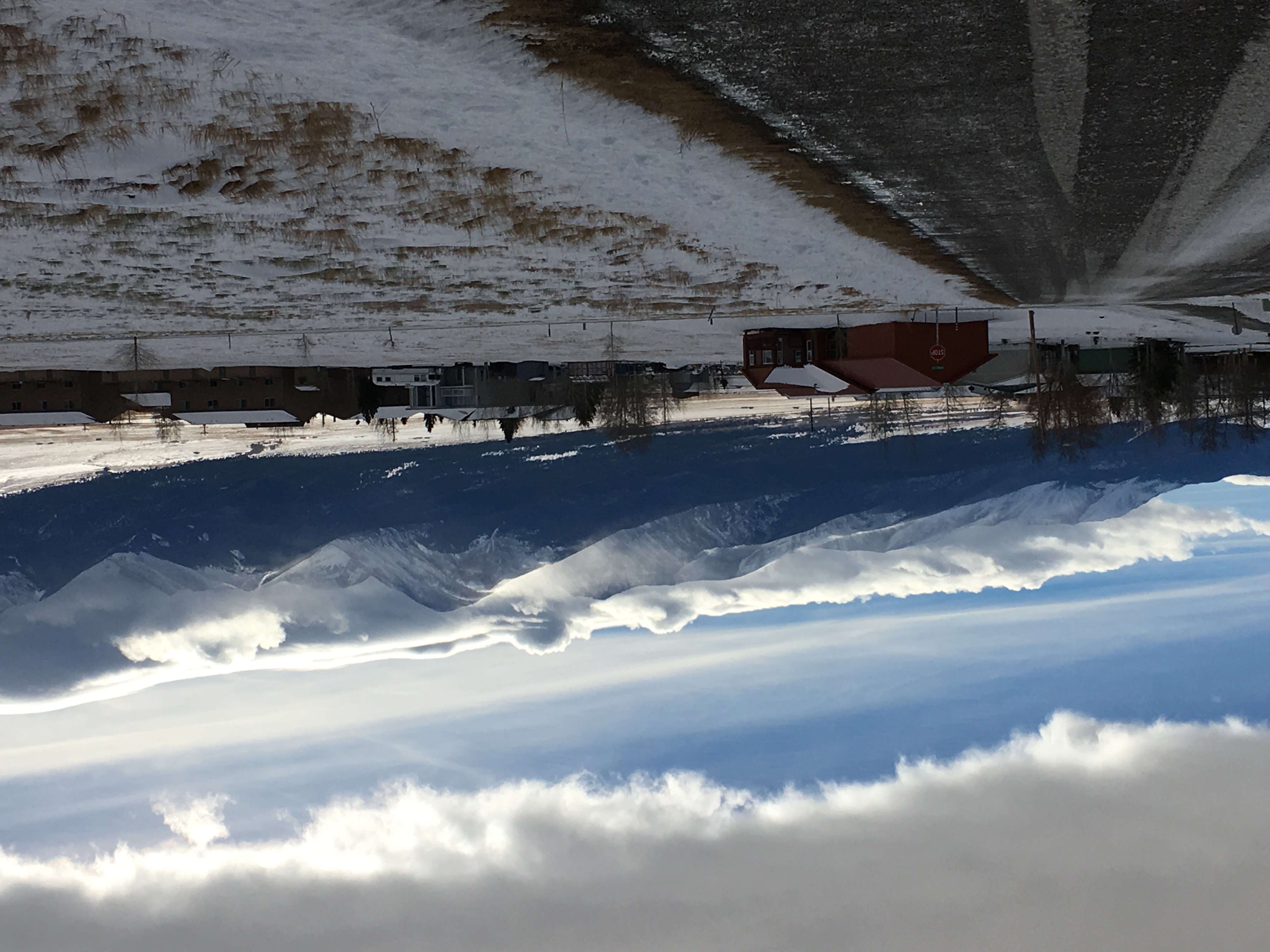
2017-01-08 14.47.03
2017-01-08 14.40.11

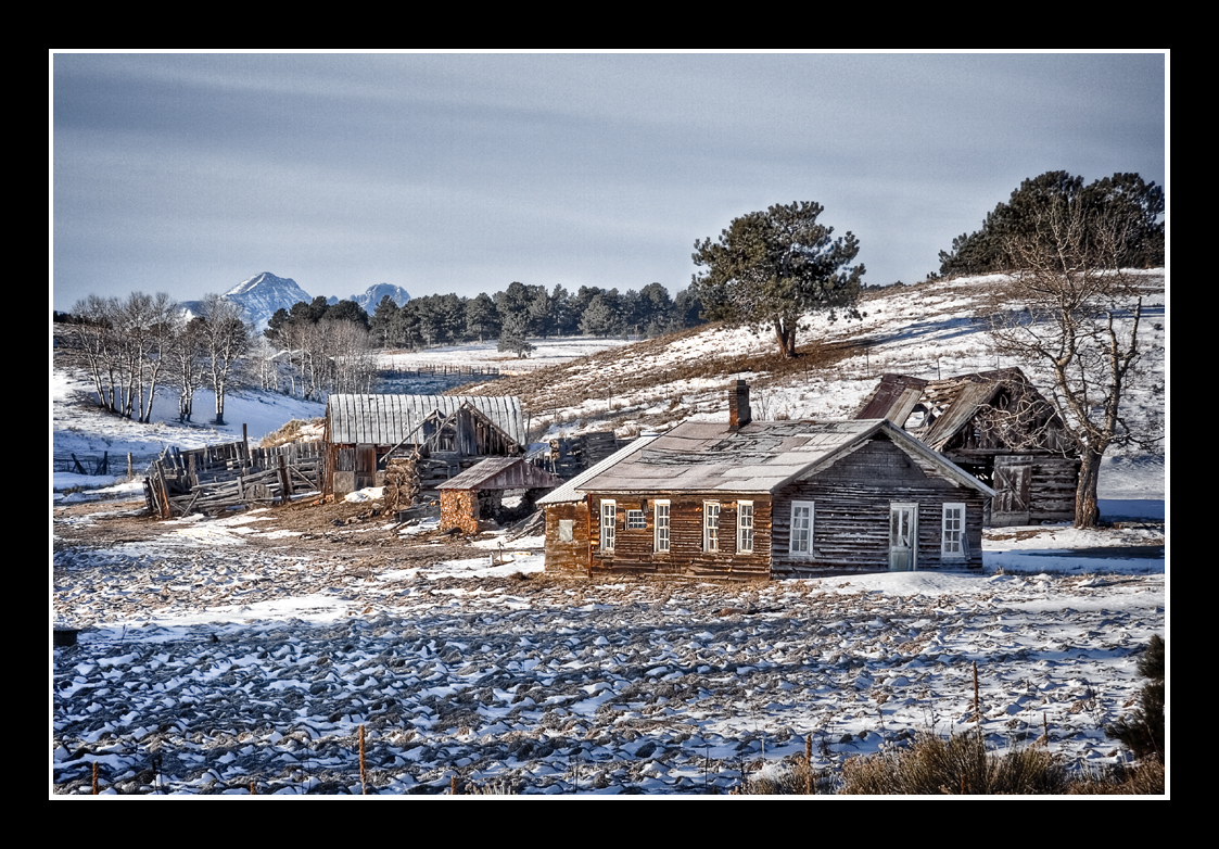
Silvercliff History

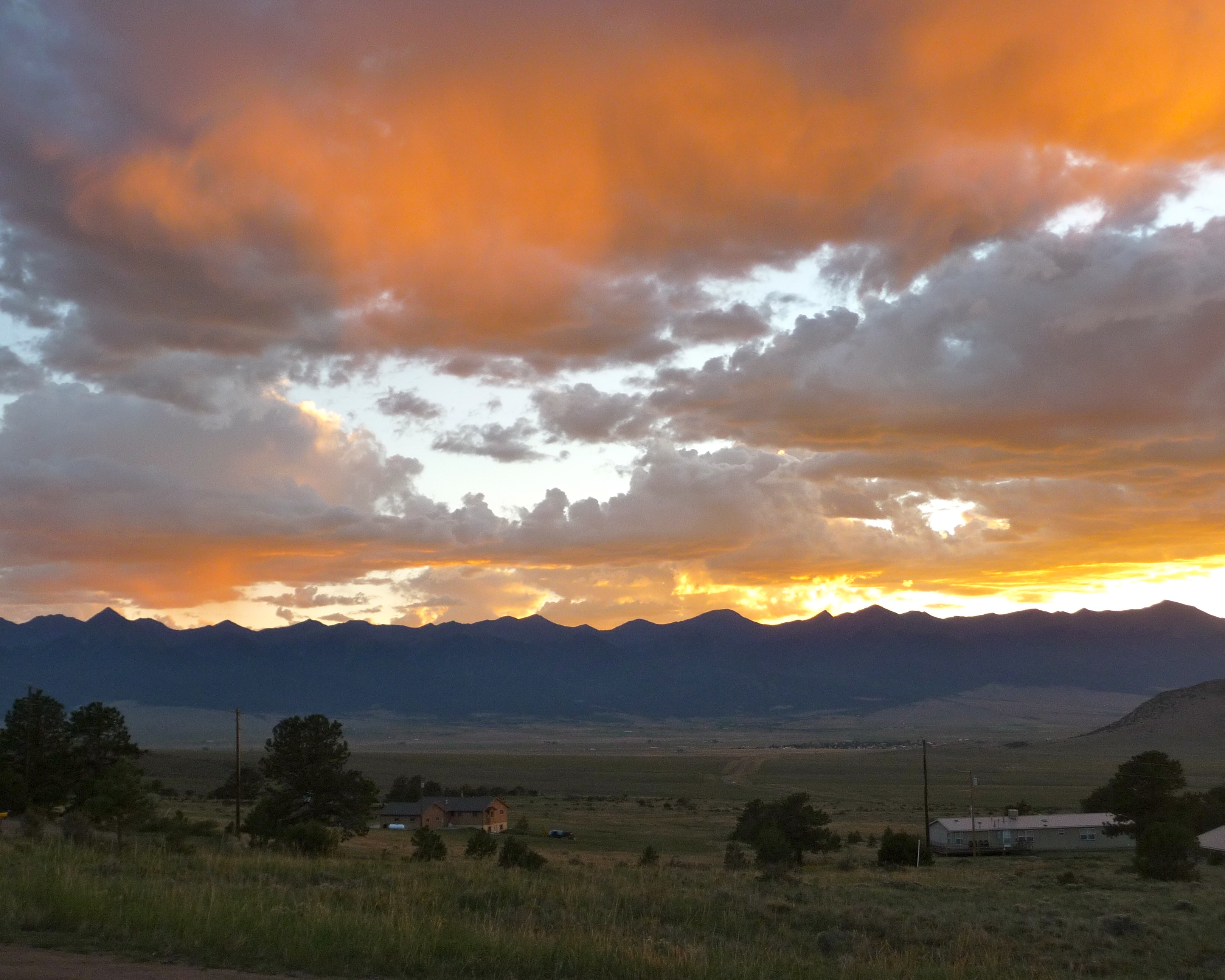
Sangre de Cristo Sunrise
2017-01-08 14.45.43
2017-01-08 14.45.52
Westcliffe, CO - 39
Westcliffe, CO - 14

ESR 4-02

Westcliffe, CO - 26
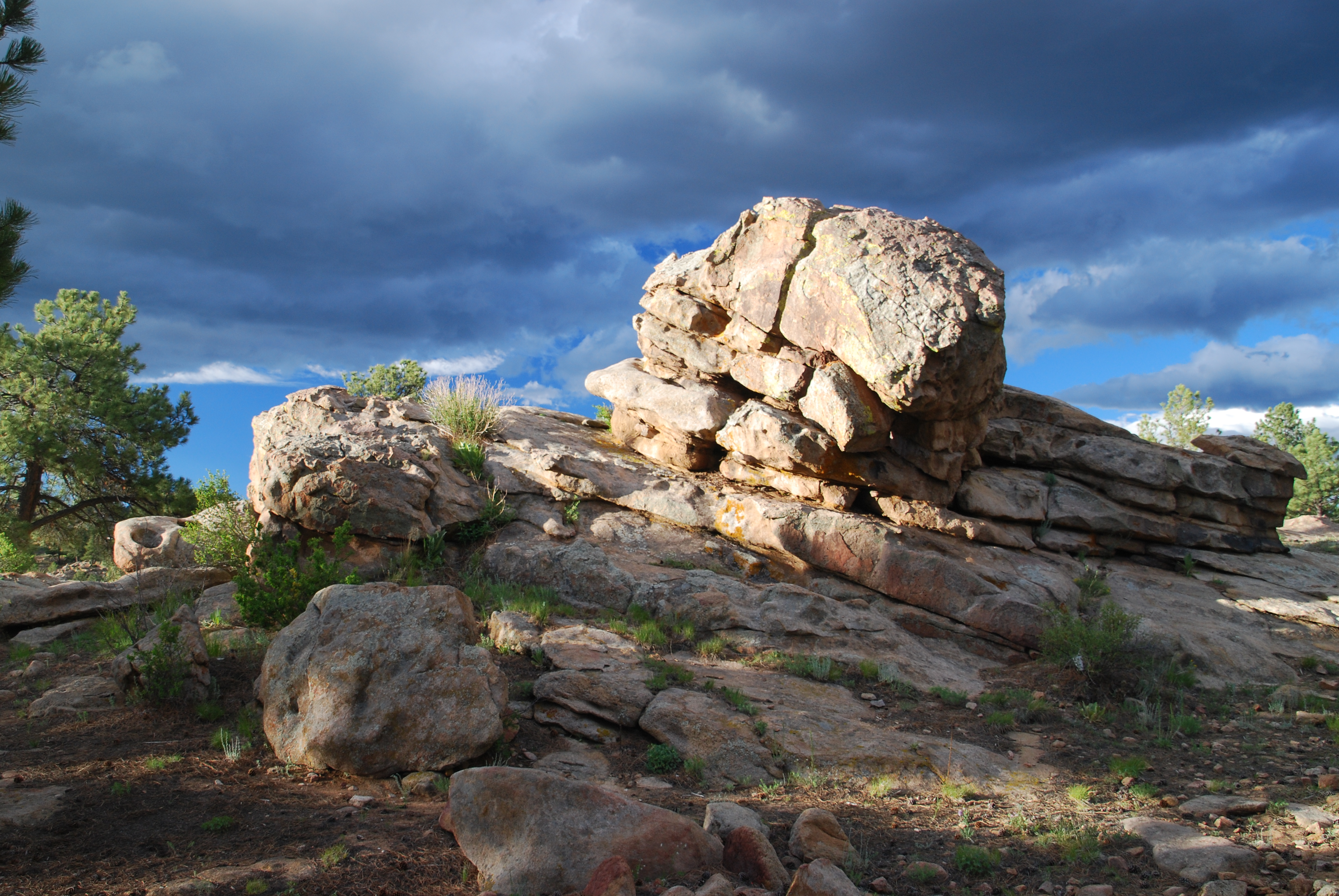
Upon this rock...

Sunset near Canon City, Colorado
Colorado June 2015
Westcliffe, CO - 18
ESR 2-04

ESR 2-25
Topographic Map of Little Horn Dr, Westcliffe, CO, USA
Find elevation by address:

Places near Little Horn Dr, Westcliffe, CO, USA:
176 Discovery Ln
176 Discovery Rd
1001 Marcey Rd
12060 Co Rd 255
308 Dilley Ln
12300 Co Rd 255
9293 Co Rd 255
3 Camp Dr
9591 Co-96
1525 Tibby Trail
10965 Co Rd 255
213 Aspen Trail Rd #27
213 Aspen Trail Rd #27
213 Aspen Trail Rd #27
1450 Ridge Rd
748 Shoshone Dr
871 Shoshone Dr
567 Shoshone Dr
2279 Aspen Trail Rd
Kiowa Dr, Cañon City, CO, USA
Recent Searches:
- Elevation of 24, Auburn Bay Crescent SE, Auburn Bay, Calgary, Alberta, T3M 0A6, Canada
- Elevation of Denver, 2314, Arapahoe Street, Five Points, Denver, Colorado, 80205, USA
- Elevation of Community of the Beatitudes, 2924, West 43rd Avenue, Sunnyside, Denver, Colorado, 80211, USA
- Elevation map of Litang County, Sichuan, China
- Elevation map of Madoi County, Qinghai, China
- Elevation of 3314, Ohio State Route 114, Payne, Paulding County, Ohio, 45880, USA
- Elevation of Sarahills Drive, Saratoga, Santa Clara County, California, 95070, USA
- Elevation of Town of Bombay, Franklin County, New York, USA
- Elevation of 9, Convent Lane, Center Moriches, Suffolk County, New York, 11934, USA
- Elevation of Saint Angelas Convent, 9, Convent Lane, Center Moriches, Suffolk County, New York, 11934, USA
- Elevation of 131st Street Southwest, Mukilteo, Snohomish County, Washington, 98275, USA
- Elevation of 304, Harrison Road, Naples, Cumberland County, Maine, 04055, USA
- Elevation of 2362, Timber Ridge Road, Harrisburg, Cabarrus County, North Carolina, 28075, USA
- Elevation of Ridge Road, Marshalltown, Marshall County, Iowa, 50158, USA
- Elevation of 2459, Misty Shadows Drive, Pigeon Forge, Sevier County, Tennessee, 37862, USA
- Elevation of 8043, Brightwater Way, Spring Hill, Williamson County, Tennessee, 37179, USA
- Elevation of Starkweather Road, San Luis, Costilla County, Colorado, 81152, USA
- Elevation of 5277, Woodside Drive, Baton Rouge, East Baton Rouge Parish, Louisiana, 70808, USA
- Elevation of 1139, Curtin Street, Shepherd Park Plaza, Houston, Harris County, Texas, 77018, USA
- Elevation of 136, Sellers Lane, Repton, Monroe County, Alabama, 36475, USA