Elevation of 3 Camp Dr, Westcliffe, CO, USA
Location: United States > Colorado > Westcliffe >
Longitude: -105.2622049
Latitude: 38.1867849
Elevation: 2682m / 8799feet
Barometric Pressure: 0KPa
Related Photos:

HARDSCRABBLE BIGHORN RAM

Back in Time

View to the N/NW form the property

Roadside Grazing

View to the N/NW form the property
IMG_0410 View from State Hwy 96 southwest of Canon City 38.000d10.000m26.516s N 105.000d10.000m22.982s W

Colorado's Sangre de Cristos from Highway 96

Forest Near My Home
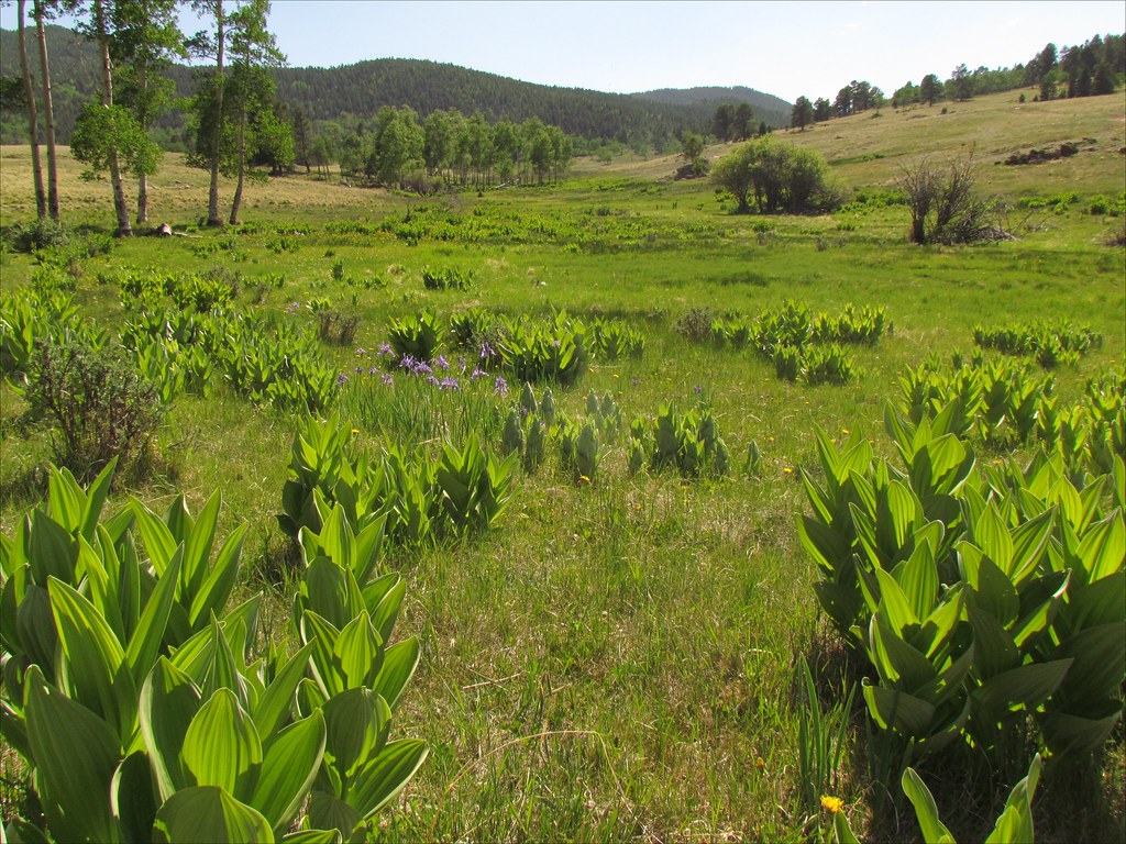
Cornhusk Lilies: San Isabel National Forest, Colorado (CO)

ESR 2-04

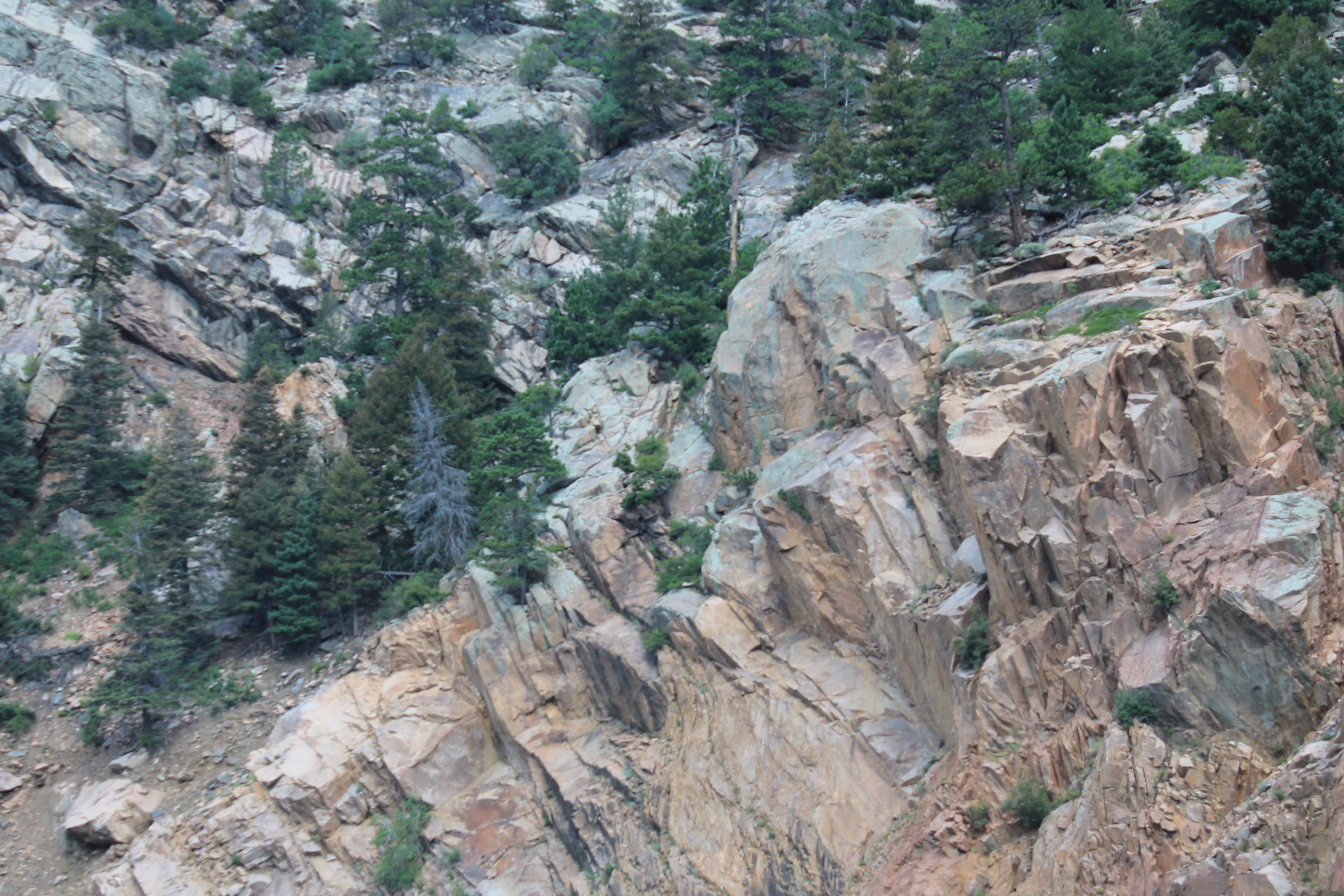
San Isabel National Forest

Setting Rays

Road twisting and turning through Rattlesnake Gulch on Colorado 96.
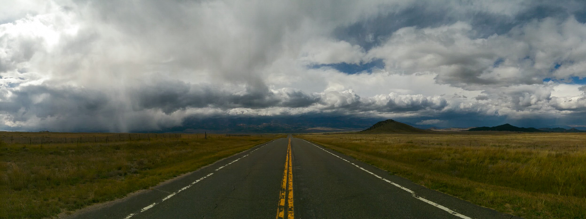
Into the storm

Garden of the Gods

Memorial Day Skies

Sunrise near Florence, Colorado

ESR 2-25

Garden of the Gods

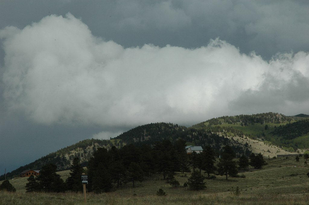
Stormy Skies

Colorado June 2015
Nice House

Sunset near Canon City, Colorado
Topographic Map of 3 Camp Dr, Westcliffe, CO, USA
Find elevation by address:

Places near 3 Camp Dr, Westcliffe, CO, USA:
1525 Tibby Trail
9591 Co-96
308 Dilley Ln
824 Little Horn Dr
Co Rd, Westcliffe, CO, USA
176 Discovery Ln
1001 Marcey Rd
176 Discovery Rd
12060 Co Rd 255
16169 Co-96
12300 Co Rd 255
Kiowa Dr, Cañon City, CO, USA
1450 Ridge Rd
371 Vista De Aspen Rd
100 Vista De Aspen Rd
748 Shoshone Dr
9293 Co Rd 255
10965 Co Rd 255
15325 Co Rd 143
15322 Co Rd 143
Recent Searches:
- Elevation map of Greenland, Greenland
- Elevation of Sullivan Hill, New York, New York, 10002, USA
- Elevation of Morehead Road, Withrow Downs, Charlotte, Mecklenburg County, North Carolina, 28262, USA
- Elevation of 2800, Morehead Road, Withrow Downs, Charlotte, Mecklenburg County, North Carolina, 28262, USA
- Elevation of Yangbi Yi Autonomous County, Yunnan, China
- Elevation of Pingpo, Yangbi Yi Autonomous County, Yunnan, China
- Elevation of Mount Malong, Pingpo, Yangbi Yi Autonomous County, Yunnan, China
- Elevation map of Yongping County, Yunnan, China
- Elevation of North 8th Street, Palatka, Putnam County, Florida, 32177, USA
- Elevation of 107, Big Apple Road, East Palatka, Putnam County, Florida, 32131, USA
- Elevation of Jiezi, Chongzhou City, Sichuan, China
- Elevation of Chongzhou City, Sichuan, China
- Elevation of Huaiyuan, Chongzhou City, Sichuan, China
- Elevation of Qingxia, Chengdu, Sichuan, China
- Elevation of Corso Fratelli Cairoli, 35, Macerata MC, Italy
- Elevation of Tallevast Rd, Sarasota, FL, USA
- Elevation of 4th St E, Sonoma, CA, USA
- Elevation of Black Hollow Rd, Pennsdale, PA, USA
- Elevation of Oakland Ave, Williamsport, PA, USA
- Elevation of Pedrógão Grande, Portugal