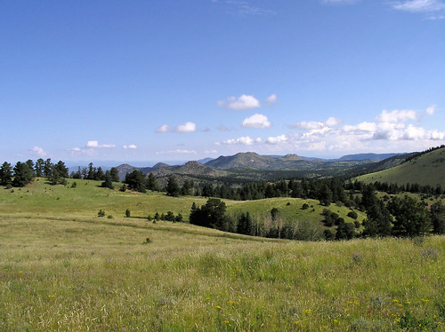
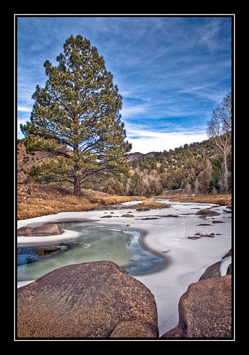
Elevation of Tibby Trail, Westcliffe, CO, USA
Location: United States > Colorado > Westcliffe >
Longitude: -105.2559781
Latitude: 38.2121846
Elevation: 2652m / 8701feet
Barometric Pressure: 0KPa
Related Photos:
Topographic Map of Tibby Trail, Westcliffe, CO, USA
Find elevation by address:

Places near Tibby Trail, Westcliffe, CO, USA:
308 Dilley Ln
3 Camp Dr
824 Little Horn Dr
12060 Co Rd 255
Kiowa Dr, Cañon City, CO, USA
9591 Co-96
12300 Co Rd 255
176 Discovery Ln
176 Discovery Rd
1001 Marcey Rd
Co Rd, Westcliffe, CO, USA
15322 Co Rd 143
15325 Co Rd 143
748 Shoshone Dr
567 Shoshone Dr
871 Shoshone Dr
16169 Co-96
201 Buck Ridge Rd
10965 Co Rd 255
9293 Co Rd 255
Recent Searches:
- Elevation map of Greenland, Greenland
- Elevation of Sullivan Hill, New York, New York, 10002, USA
- Elevation of Morehead Road, Withrow Downs, Charlotte, Mecklenburg County, North Carolina, 28262, USA
- Elevation of 2800, Morehead Road, Withrow Downs, Charlotte, Mecklenburg County, North Carolina, 28262, USA
- Elevation of Yangbi Yi Autonomous County, Yunnan, China
- Elevation of Pingpo, Yangbi Yi Autonomous County, Yunnan, China
- Elevation of Mount Malong, Pingpo, Yangbi Yi Autonomous County, Yunnan, China
- Elevation map of Yongping County, Yunnan, China
- Elevation of North 8th Street, Palatka, Putnam County, Florida, 32177, USA
- Elevation of 107, Big Apple Road, East Palatka, Putnam County, Florida, 32131, USA
- Elevation of Jiezi, Chongzhou City, Sichuan, China
- Elevation of Chongzhou City, Sichuan, China
- Elevation of Huaiyuan, Chongzhou City, Sichuan, China
- Elevation of Qingxia, Chengdu, Sichuan, China
- Elevation of Corso Fratelli Cairoli, 35, Macerata MC, Italy
- Elevation of Tallevast Rd, Sarasota, FL, USA
- Elevation of 4th St E, Sonoma, CA, USA
- Elevation of Black Hollow Rd, Pennsdale, PA, USA
- Elevation of Oakland Ave, Williamsport, PA, USA
- Elevation of Pedrógão Grande, Portugal


