Elevation of Shoshone Dr, Cañon City, CO, USA
Location: United States > Colorado > Cañon City >
Longitude: -105.31185
Latitude: 38.2633269
Elevation: 2503m / 8212feet
Barometric Pressure: 75KPa
Elevation Map:
Satellite Map:
Related Photos:

HARDSCRABBLE BIGHORN RAM

Back in Time

View to the N/NW form the property

Roadside Grazing

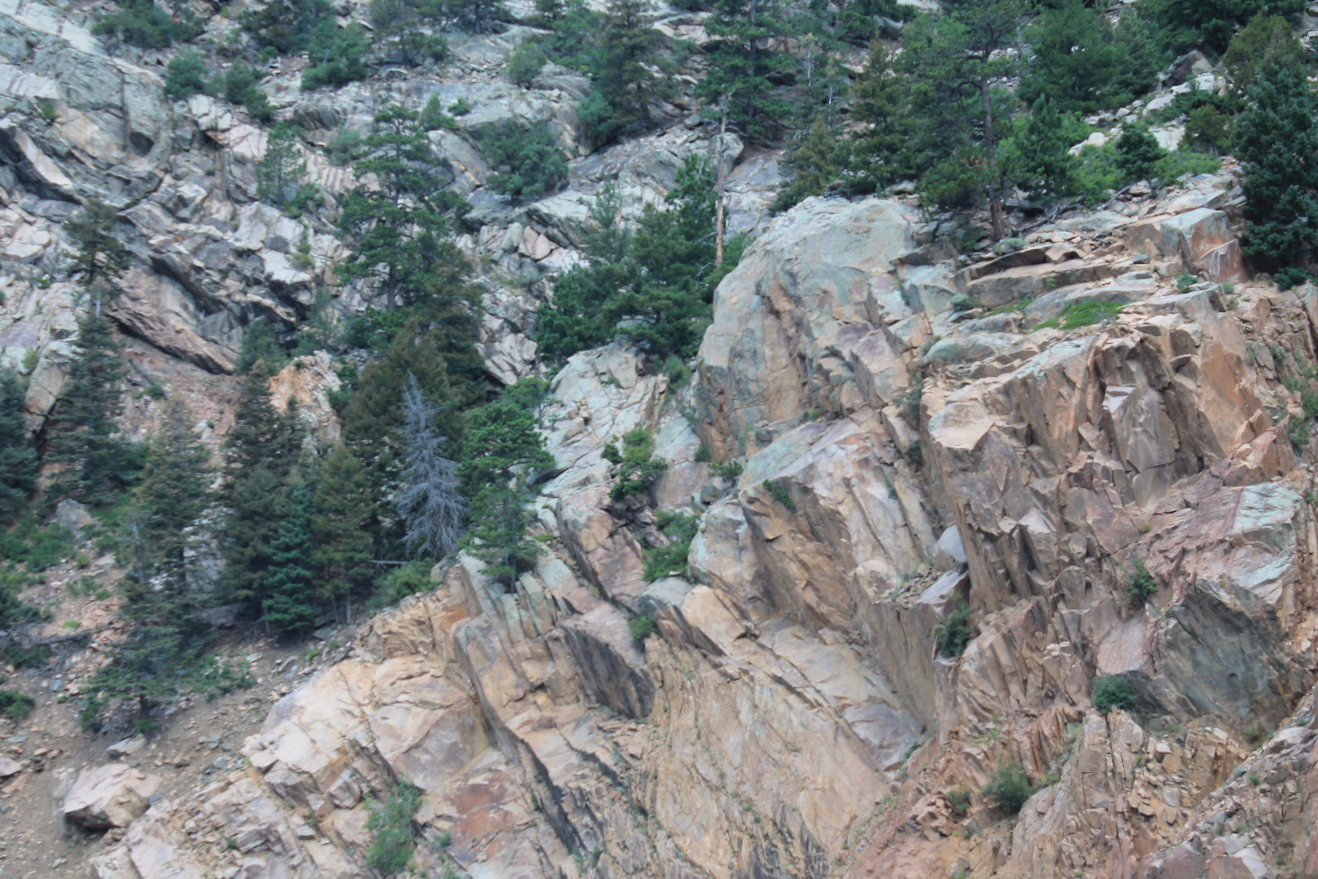
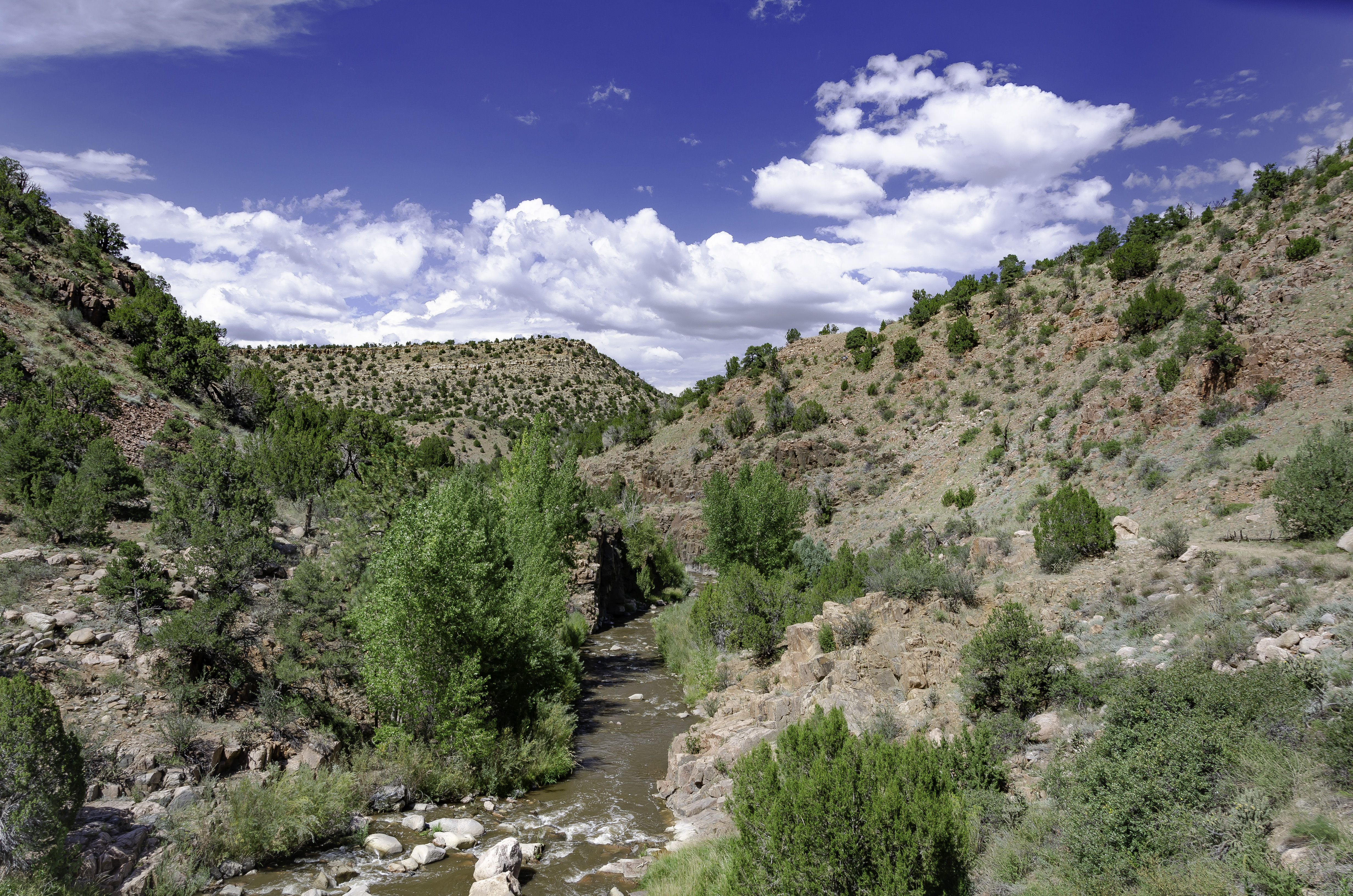
Grape Creek

View to the N/NW form the property
IMG_0410 View from State Hwy 96 southwest of Canon City 38.000d10.000m26.516s N 105.000d10.000m22.982s W

Cañon City, Colorado

Forest Near My Home

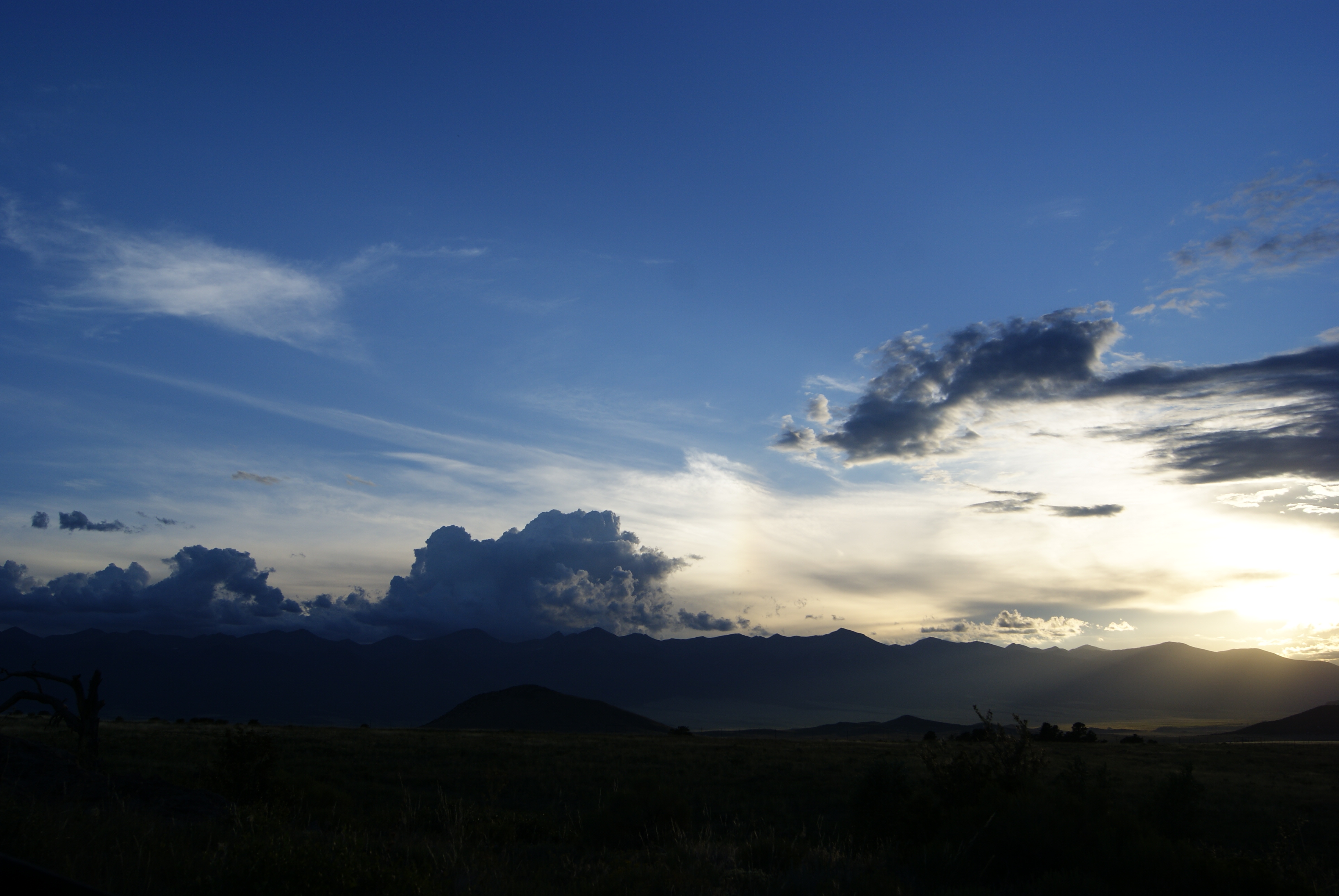
Sangre de Cristo Sunrise
Temple Canyon & Grape Creek

Old Mine on Tanner Peak

Old Mine in Temple Canyon

Temple Canyon

Remains from the old mine

ESR 2-04

Road twisting and turning through Rattlesnake Gulch on Colorado 96.
Setting Rays
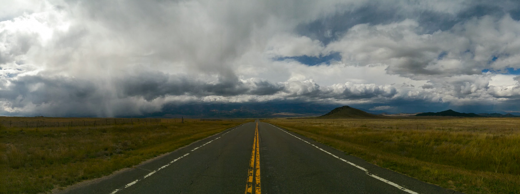
Into the storm
So what has everyone else been up to today?

Garden of the Gods

Sunrise near Florence, Colorado

ESR 2-25
Topographic Map of Shoshone Dr, Cañon City, CO, USA
Find elevation by address:

Places near Shoshone Dr, Cañon City, CO, USA:
748 Shoshone Dr
567 Shoshone Dr
408 Chinook Dr
12300 Co Rd 255
15325 Co Rd 143
12060 Co Rd 255
15322 Co Rd 143
Sangre Way
Kiowa Dr, Cañon City, CO, USA
201 Buck Ridge Rd
10965 Co Rd 255
601 Hellgate Way N
683 Daniel's Pl
9293 Co Rd 255
176 Discovery Ln
176 Discovery Rd
1001 Marcey Rd
824 Little Horn Dr
308 Dilley Ln
213 Aspen Trail Rd #27
Recent Searches:
- Elevation of Corso Fratelli Cairoli, 35, Macerata MC, Italy
- Elevation of Tallevast Rd, Sarasota, FL, USA
- Elevation of 4th St E, Sonoma, CA, USA
- Elevation of Black Hollow Rd, Pennsdale, PA, USA
- Elevation of Oakland Ave, Williamsport, PA, USA
- Elevation of Pedrógão Grande, Portugal
- Elevation of Klee Dr, Martinsburg, WV, USA
- Elevation of Via Roma, Pieranica CR, Italy
- Elevation of Tavkvetili Mountain, Georgia
- Elevation of Hartfords Bluff Cir, Mt Pleasant, SC, USA