Elevation of Leamington, UT, USA
Location: United States > Utah > Millard County >
Longitude: -112.2835549
Latitude: 39.5346744
Elevation: 1441m / 4728feet
Barometric Pressure: 0KPa
Related Photos:
2009 03 07 (179)
2009 03 07 (181)

2008 06 04 (107)p

2008 06 04 (101)
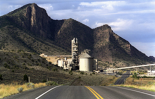
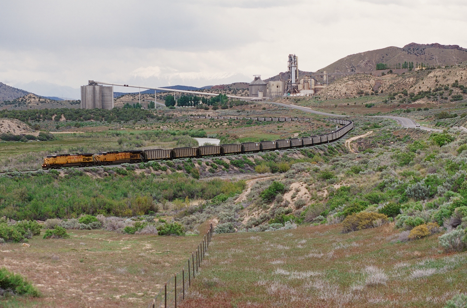
Cement Factory ~ Leamington, Utah
2009 03 07 (164)
2009 03 07 (166)

2008 06 04 (1002)
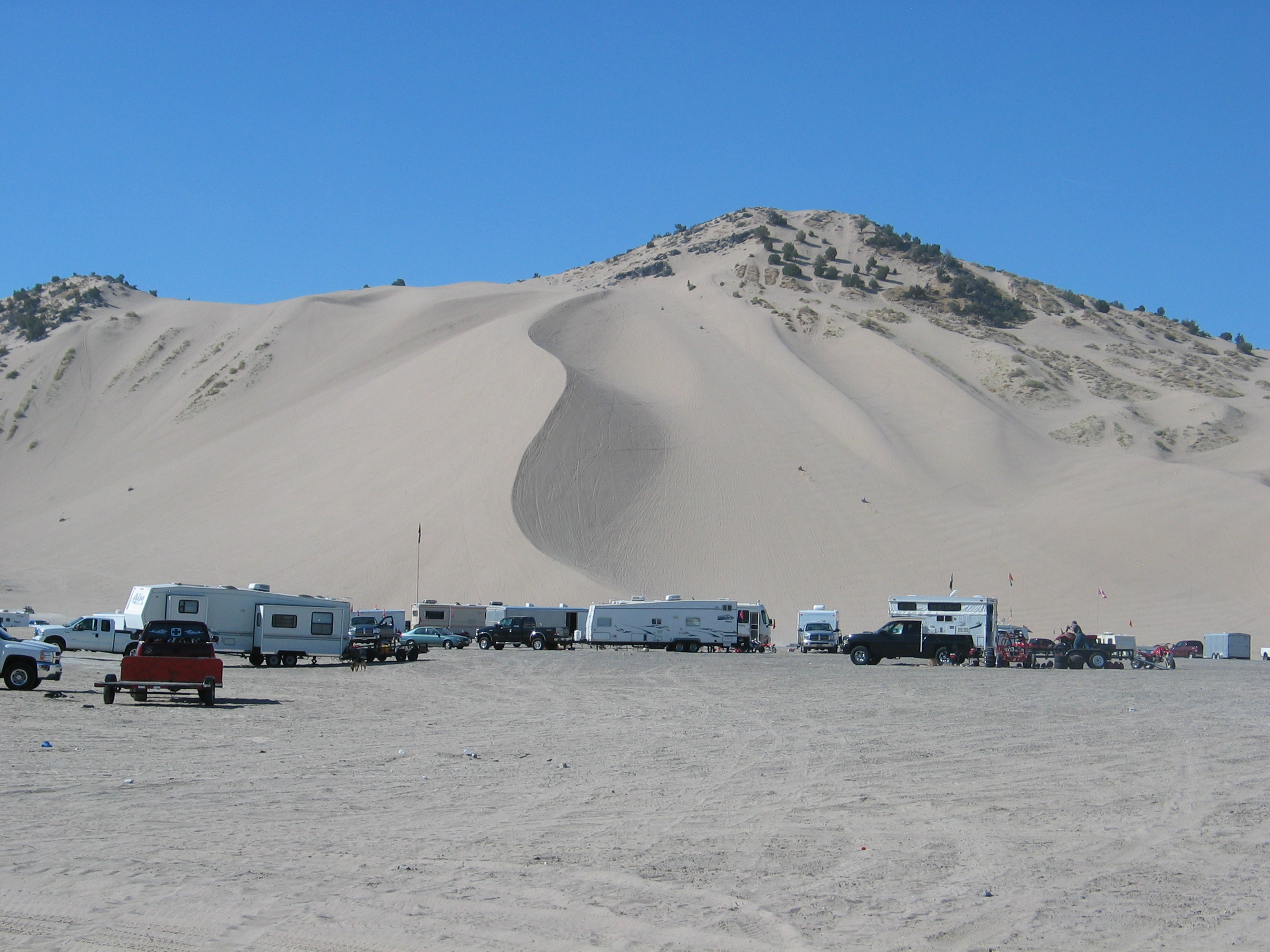
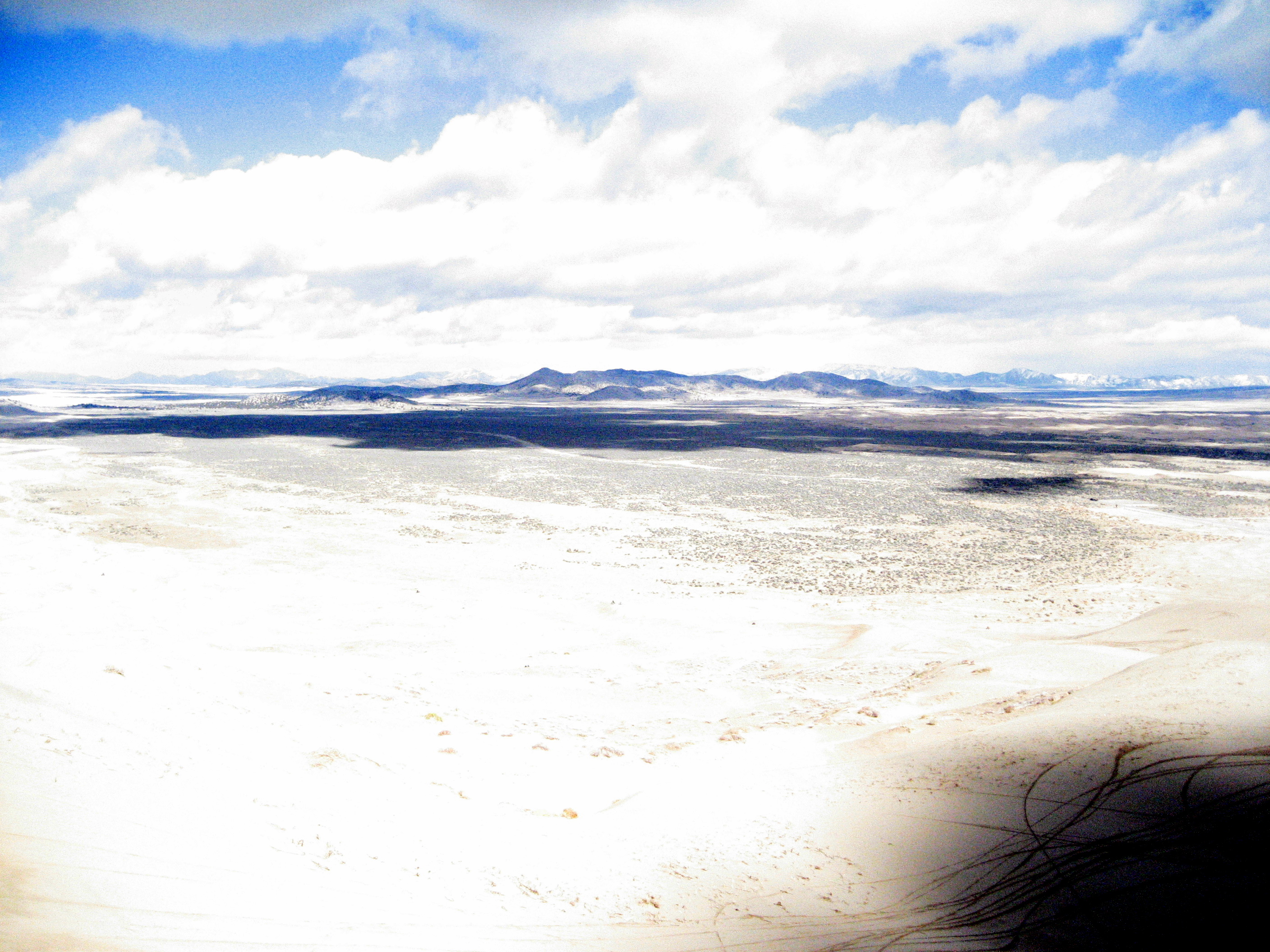
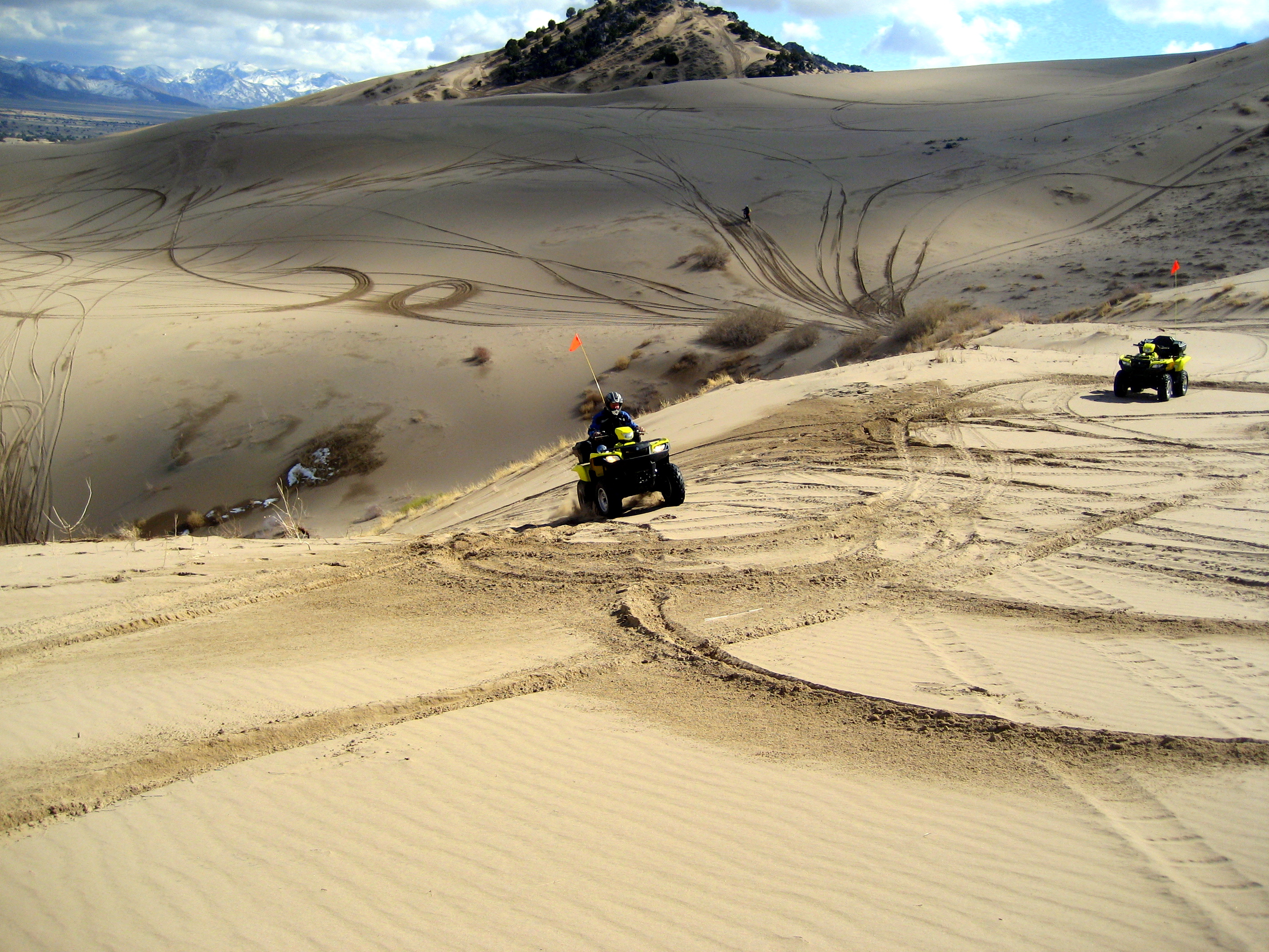
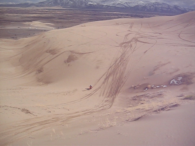
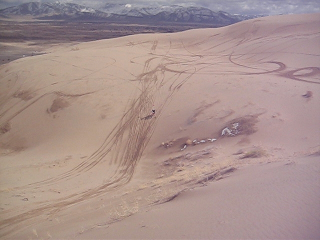
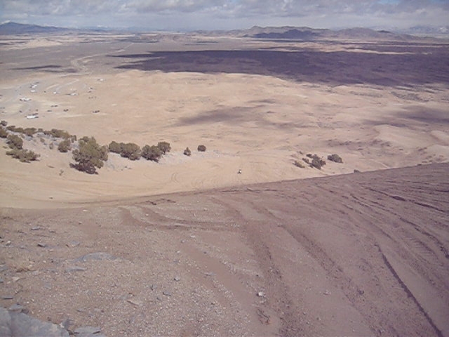
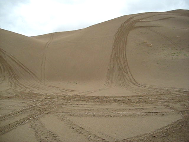
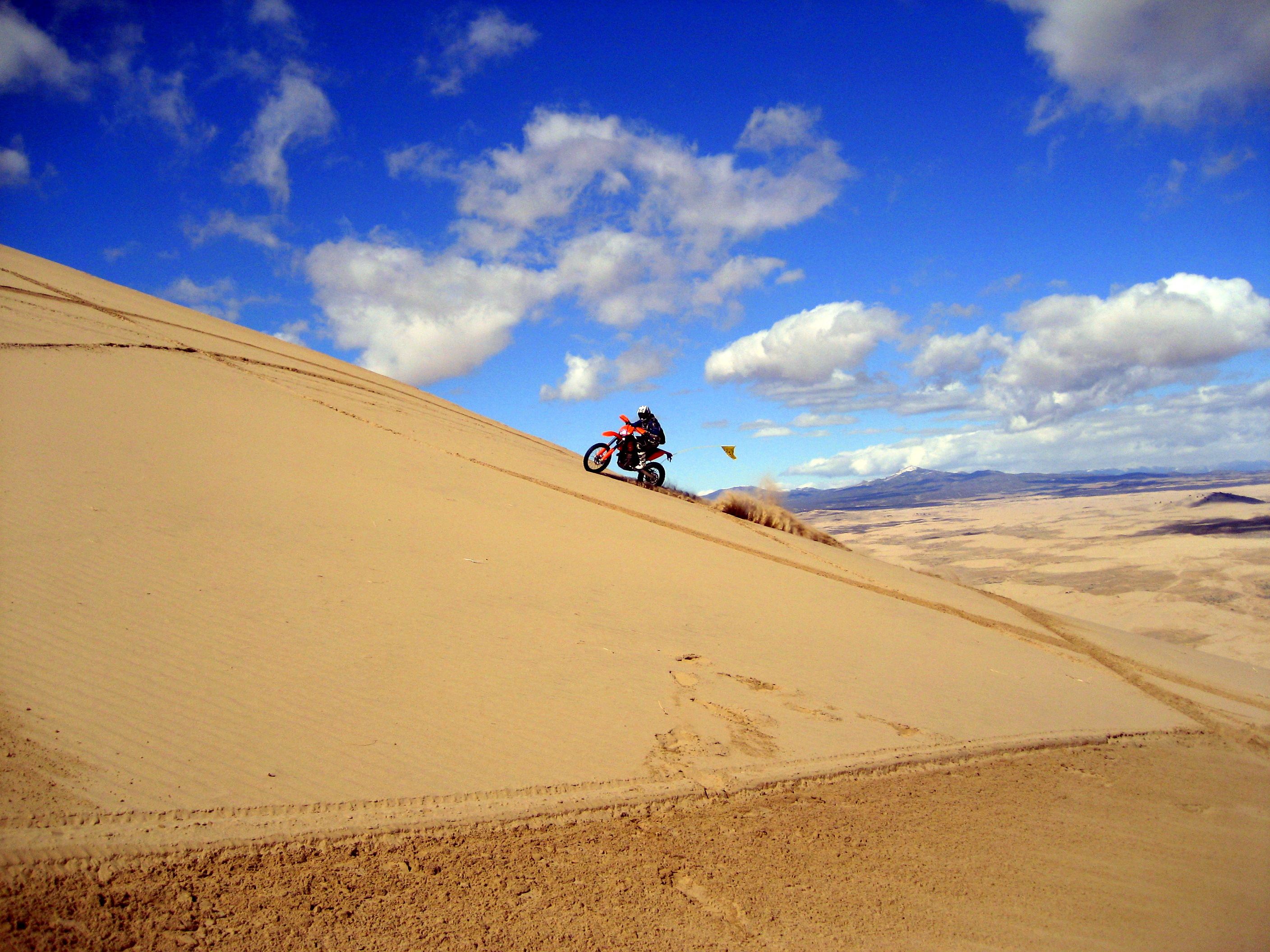
Little Sahara
2009 03 07 (125)
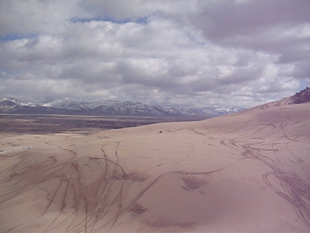
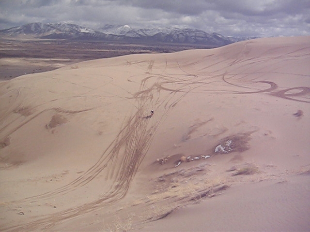
2008 06 04 (1002)
2008 06 04 (1000)
2008 06 04 (1004)
UP 6655 Westbound
0U1A2410 Morrison Charcoal Ovens
UP 6655 Westbound

UP 6655 Westbound
2009 03 07 (180)
2009 03 07 (193)
2009 03 07 (167)

2008 06 04 (1004)
Topographic Map of Leamington, UT, USA
Find elevation by address:

Places in Leamington, UT, USA:
Places near Leamington, UT, USA:
8525 300 E
Lynndyl
8 S Main Lynndyl, Lynndyl, UT, USA
143 S 200 W
143 S 200 W
Levan
Eureka
337 S 200 W
Nephi
The Mona Road
Mona
Nebo Ranch Street
Goshen
Big Mountain Campground
Mount Nebo
Summit Ridge Parkway
730 Sunset Dr
Genola
32 N Main St, Genola, UT, USA
76 E Center St
Recent Searches:
- Elevation of Pasing, Munich, Bavaria, 81241, Germany
- Elevation of 24, Auburn Bay Crescent SE, Auburn Bay, Calgary, Alberta, T3M 0A6, Canada
- Elevation of Denver, 2314, Arapahoe Street, Five Points, Denver, Colorado, 80205, USA
- Elevation of Community of the Beatitudes, 2924, West 43rd Avenue, Sunnyside, Denver, Colorado, 80211, USA
- Elevation map of Litang County, Sichuan, China
- Elevation map of Madoi County, Qinghai, China
- Elevation of 3314, Ohio State Route 114, Payne, Paulding County, Ohio, 45880, USA
- Elevation of Sarahills Drive, Saratoga, Santa Clara County, California, 95070, USA
- Elevation of Town of Bombay, Franklin County, New York, USA
- Elevation of 9, Convent Lane, Center Moriches, Suffolk County, New York, 11934, USA
- Elevation of Saint Angelas Convent, 9, Convent Lane, Center Moriches, Suffolk County, New York, 11934, USA
- Elevation of 131st Street Southwest, Mukilteo, Snohomish County, Washington, 98275, USA
- Elevation of 304, Harrison Road, Naples, Cumberland County, Maine, 04055, USA
- Elevation of 2362, Timber Ridge Road, Harrisburg, Cabarrus County, North Carolina, 28075, USA
- Elevation of Ridge Road, Marshalltown, Marshall County, Iowa, 50158, USA
- Elevation of 2459, Misty Shadows Drive, Pigeon Forge, Sevier County, Tennessee, 37862, USA
- Elevation of 8043, Brightwater Way, Spring Hill, Williamson County, Tennessee, 37179, USA
- Elevation of Starkweather Road, San Luis, Costilla County, Colorado, 81152, USA
- Elevation of 5277, Woodside Drive, Baton Rouge, East Baton Rouge Parish, Louisiana, 70808, USA
- Elevation of 1139, Curtin Street, Shepherd Park Plaza, Houston, Harris County, Texas, 77018, USA