Elevation of Lynndyl, UT, USA
Location: United States > Utah > Millard County >
Longitude: -112.3757785
Latitude: 39.519119
Elevation: 1459m / 4787feet
Barometric Pressure: 0KPa
Related Photos:
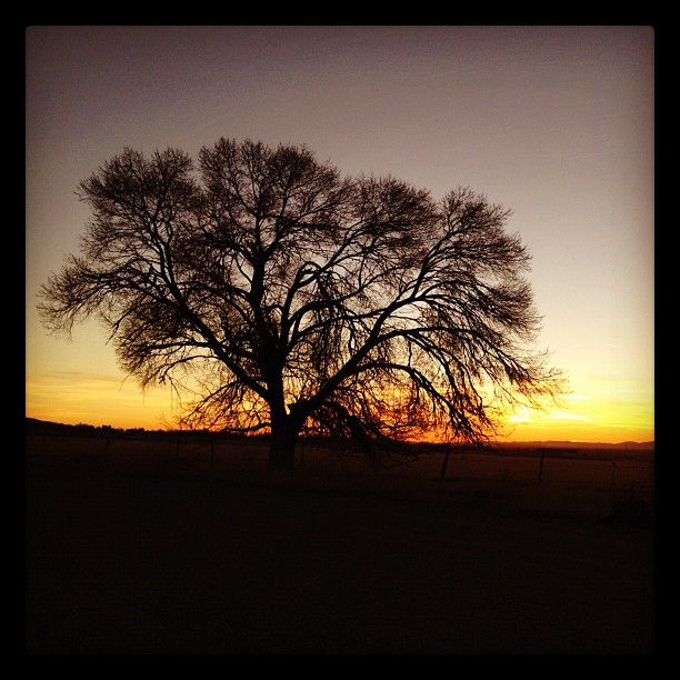
Sunset from Oak City
2009 03 07 (179)
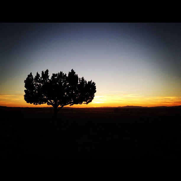
Juniper silhouette at through sunset
2009 03 07 (180)
2008 06 04 (107)p
2009 03 07 (193)
2008 06 04 (101)
2009 03 07 (181)
2009 03 07 (164)
2009 03 07 (166)
2009 03 07 (167)
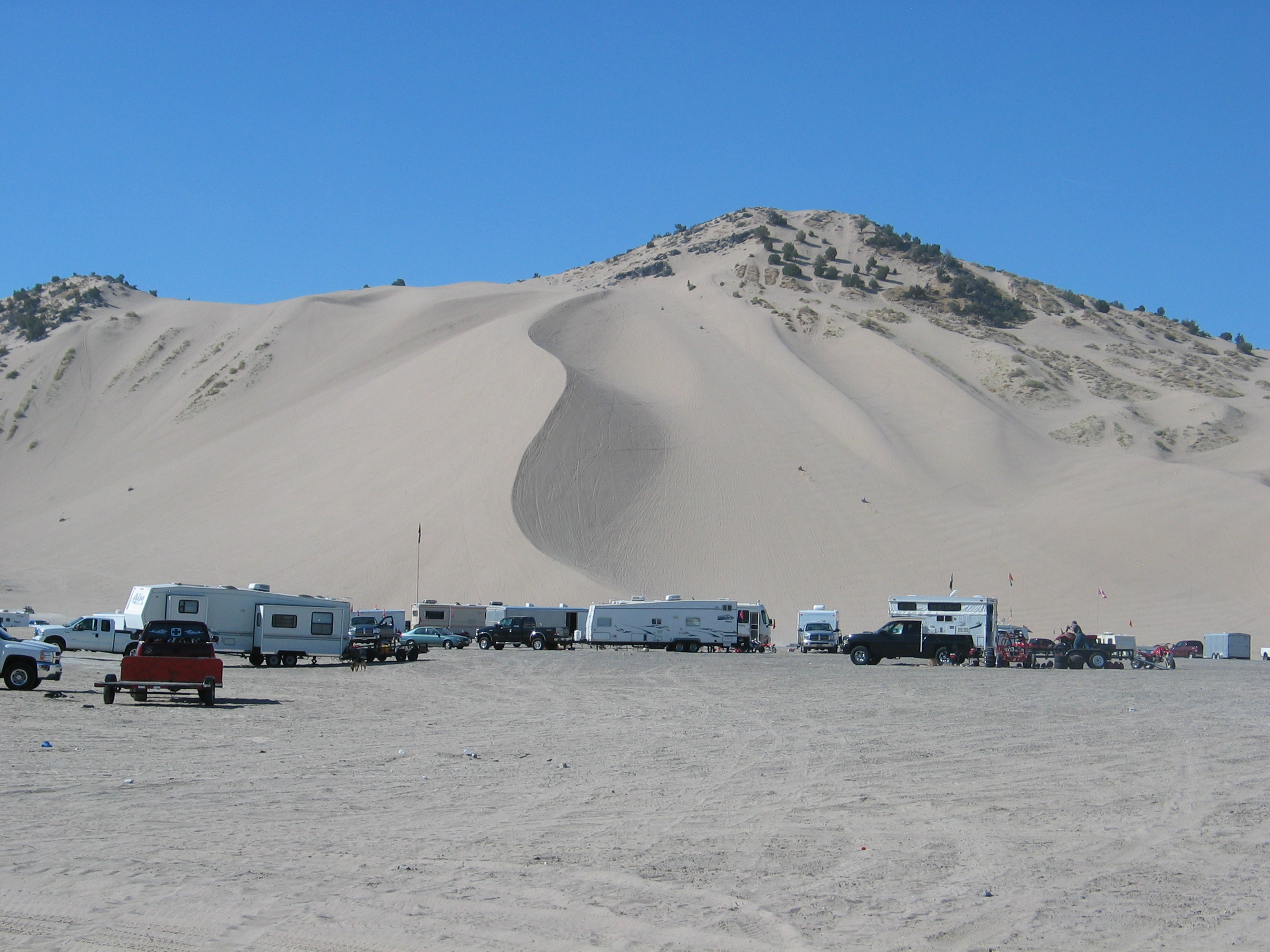
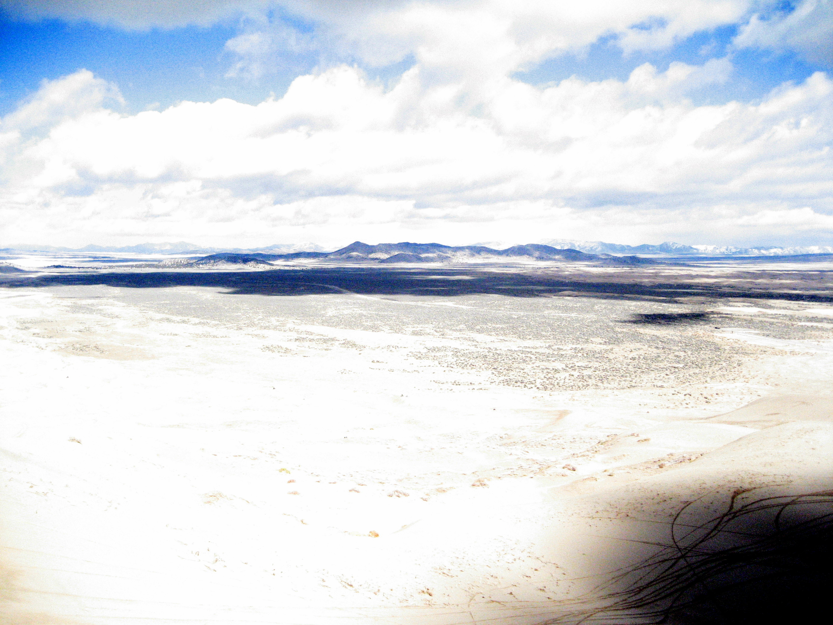
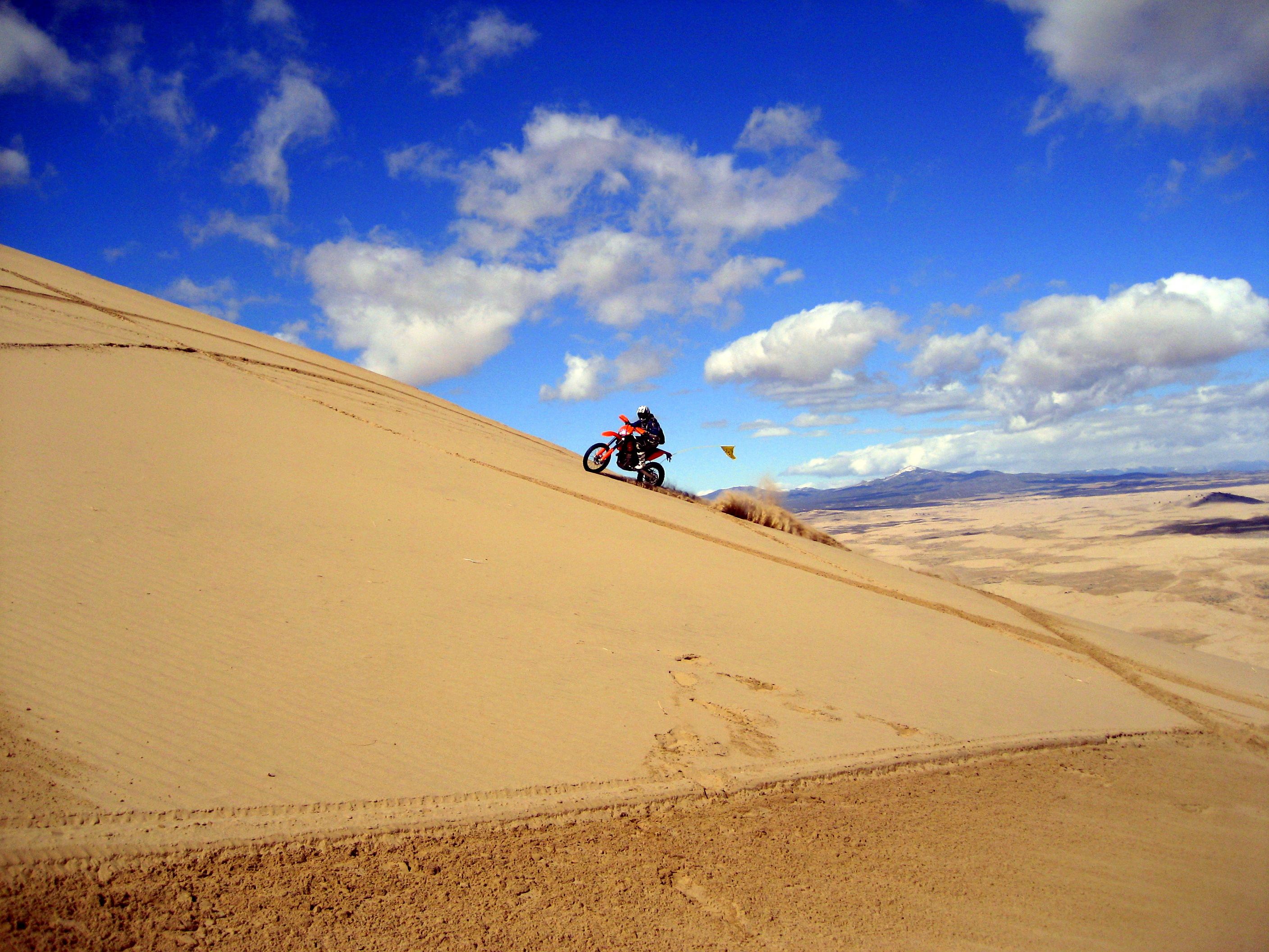
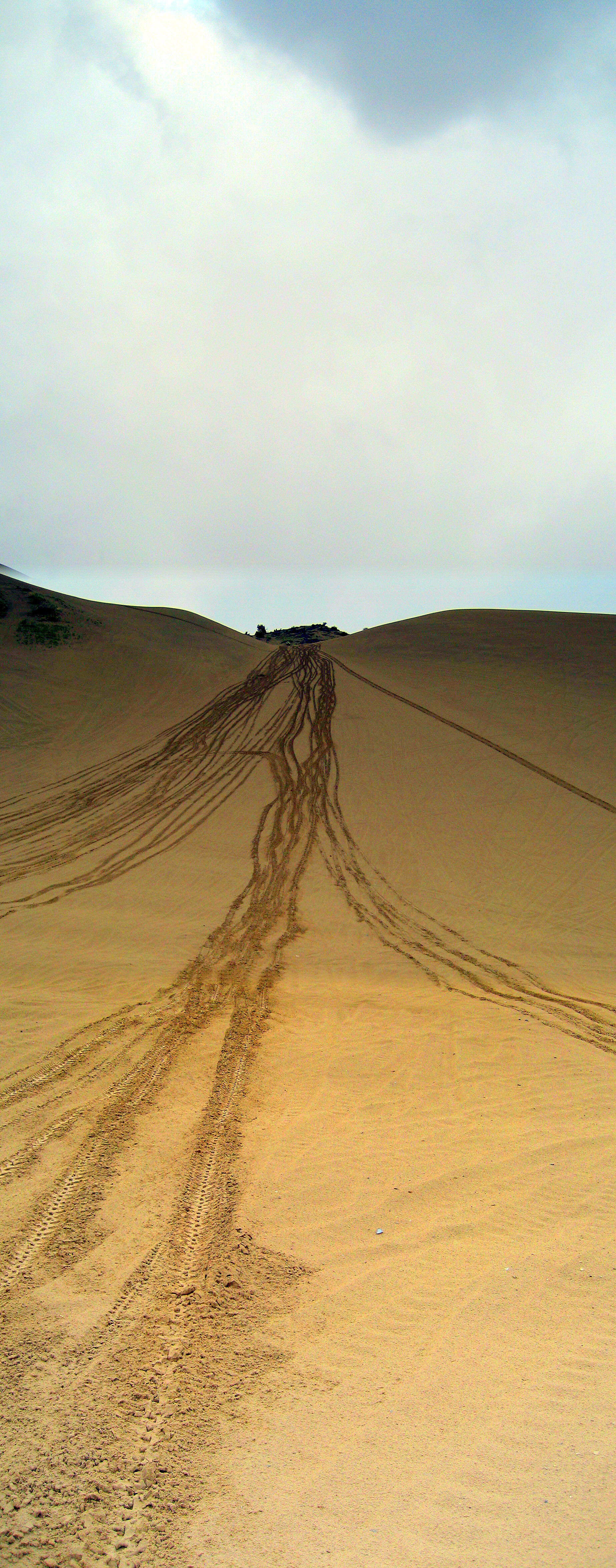
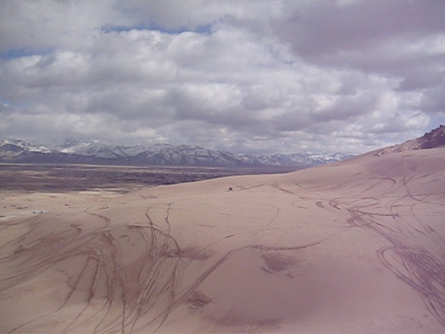
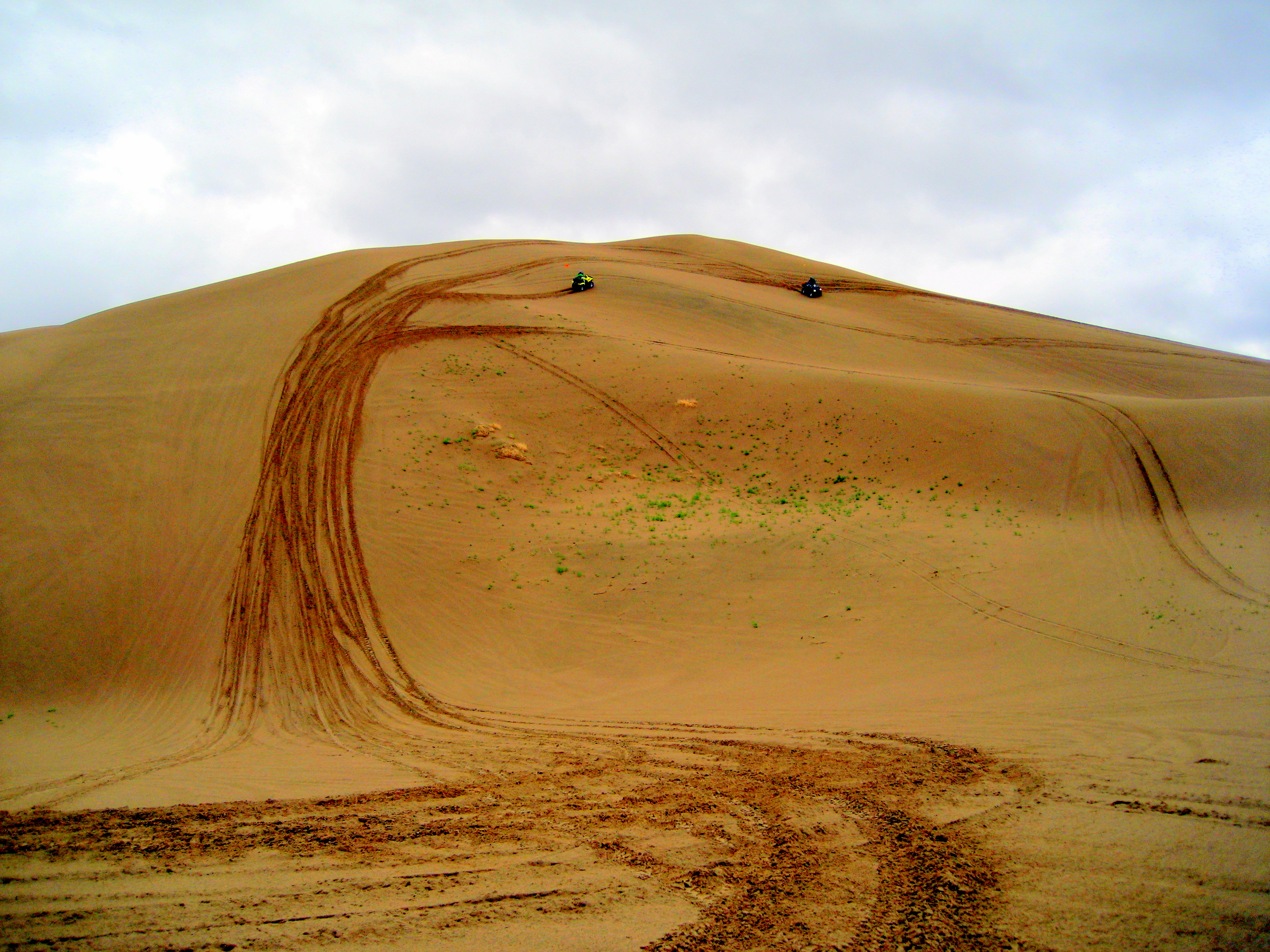
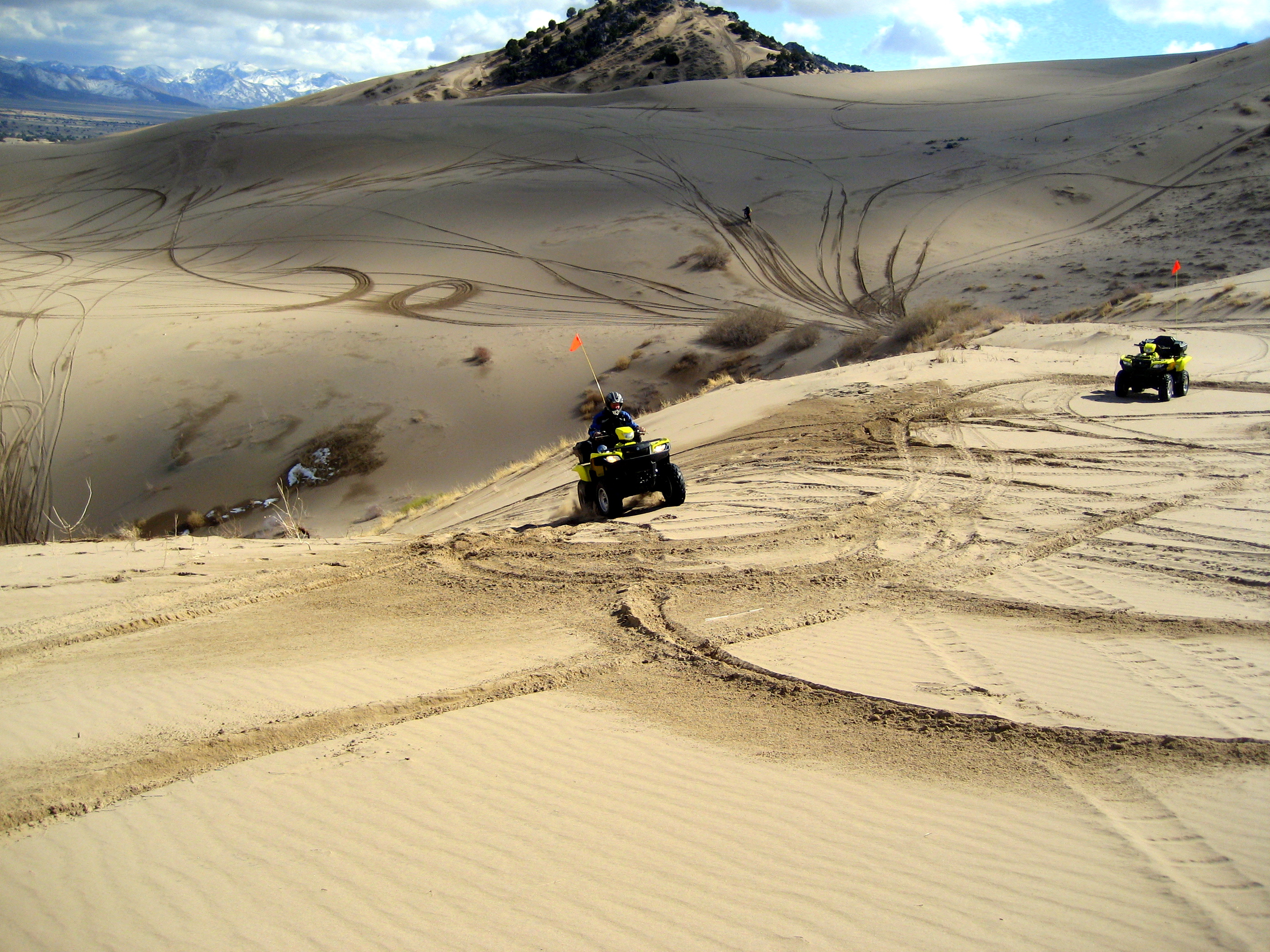
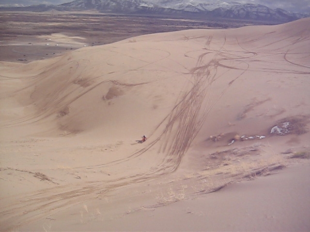
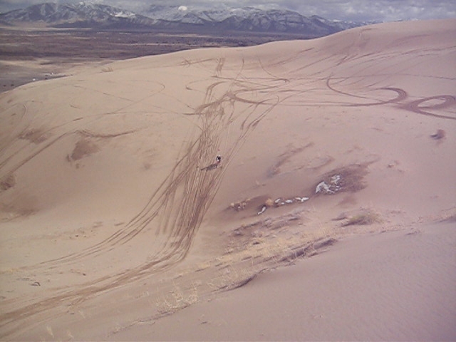
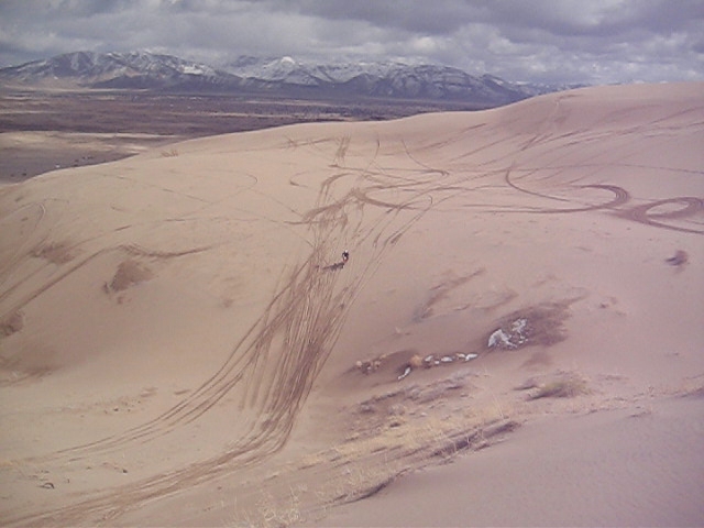
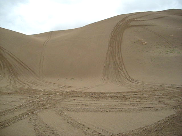
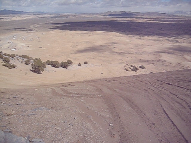
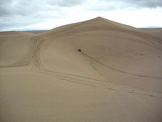
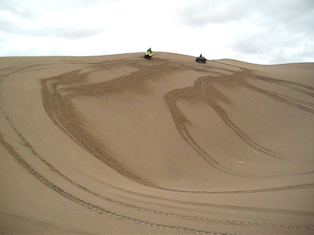
Little Sahara
2008 06 04 (1002)
2009 03 07 (125)

2008 06 04 (1002)
2008 06 04 (1000)
2008 06 04 (1004)

2008 06 04 (1004)
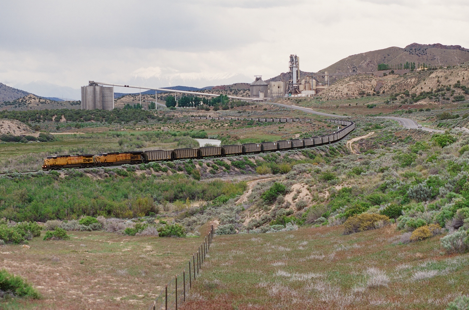
UP 6655 Westbound
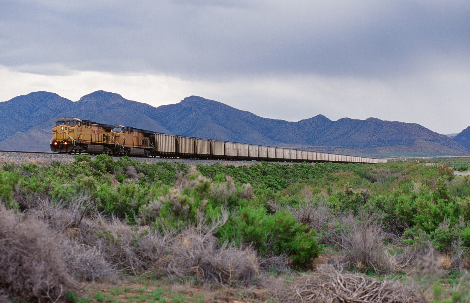
UP 6655 Westbound
Topographic Map of Lynndyl, UT, USA
Find elevation by address:

Places in Lynndyl, UT, USA:
Places near Lynndyl, UT, USA:
8 S Main Lynndyl, Lynndyl, UT, USA
Leamington
8525 300 E
Eureka
143 S 200 W
143 S 200 W
Levan
337 S 200 W
Nephi
The Mona Road
Mona
Nebo Ranch Street
Goshen
Big Mountain Campground
Mount Nebo
Summit Ridge Parkway
730 Sunset Dr
Genola
32 N Main St, Genola, UT, USA
76 E Center St
Recent Searches:
- Elevation map of Greenland, Greenland
- Elevation of Sullivan Hill, New York, New York, 10002, USA
- Elevation of Morehead Road, Withrow Downs, Charlotte, Mecklenburg County, North Carolina, 28262, USA
- Elevation of 2800, Morehead Road, Withrow Downs, Charlotte, Mecklenburg County, North Carolina, 28262, USA
- Elevation of Yangbi Yi Autonomous County, Yunnan, China
- Elevation of Pingpo, Yangbi Yi Autonomous County, Yunnan, China
- Elevation of Mount Malong, Pingpo, Yangbi Yi Autonomous County, Yunnan, China
- Elevation map of Yongping County, Yunnan, China
- Elevation of North 8th Street, Palatka, Putnam County, Florida, 32177, USA
- Elevation of 107, Big Apple Road, East Palatka, Putnam County, Florida, 32131, USA
- Elevation of Jiezi, Chongzhou City, Sichuan, China
- Elevation of Chongzhou City, Sichuan, China
- Elevation of Huaiyuan, Chongzhou City, Sichuan, China
- Elevation of Qingxia, Chengdu, Sichuan, China
- Elevation of Corso Fratelli Cairoli, 35, Macerata MC, Italy
- Elevation of Tallevast Rd, Sarasota, FL, USA
- Elevation of 4th St E, Sonoma, CA, USA
- Elevation of Black Hollow Rd, Pennsdale, PA, USA
- Elevation of Oakland Ave, Williamsport, PA, USA
- Elevation of Pedrógão Grande, Portugal