Elevation of 32 N Main St, Genola, UT, USA

Location: United States > Utah > Utah County > Genola >

Longitude: -111.84250

Latitude: 39.997086

Elevation: 1402m / 4600feet

Barometric Pressure: 86KPa

Elevation Map:

elevation map of 32 N Main St, Genola, UT, USA

Satellite Map:

Satellite map of 32 N Main St, Genola, UT, USA

Related Photos:

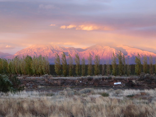
sunset panorama nature weather clouds landscape evening landscapes utah twilight unitedstates sundown dusk license editorial nightfall santaquin ccby
A Sunset
park christmas blue red white green night town nikon exposure calm salem parkbench d90 lr4 salempond salemutah aquietnightinthepark lightswaterreflectionreflectionsbridgelightspond christmasutahutah countycoldcolorfulcolorscolorsnowlong
A Quiet Night in the Park
panorama stitch 360 westmountainprovoutahlake
West Mountain
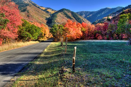
road blue autumn trees red sky orange mountains color tree green fall colors grass leaves fence utah nikon colorful fallcolors bluesky aspens changingcolors pinetrees hdr deadend fenceposts alongtheroad utahcounty d90 photomatix changeofseasons lr4 fallfoliageutah loafercanyon
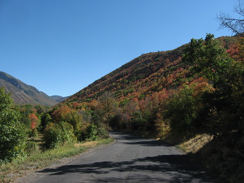
Along the Road
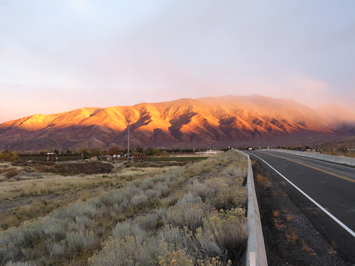
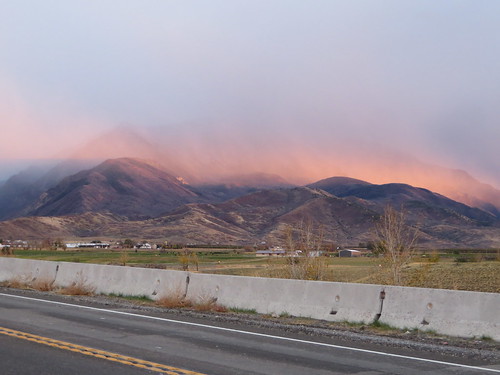
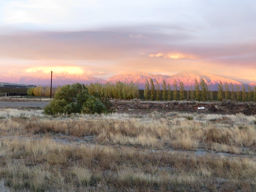
Misty Sunset over Wasatch Mountains, U.S. Route 6, Santaquin, Utah
autumn orange tree fall leaves yellow gold golden utah branch foliage aspen neboloop paysoncanyon
Golden Aspen Leaves
blue texture abandoned wall concrete crack
blue corner
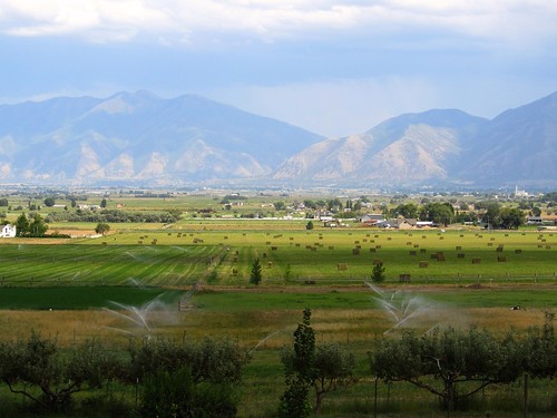
Great Views En Route to Picking Peaches in Payson, Utah
utah nebo
Nebo Loop Road, Between Payson and Nephi, Utah (9)
utah nebo
Nebo Loop Road, Between Payson and Nephi, Utah
utah whereut clue hwy68 panoramio mosida
Google Street View - Mosida, Utah
utah nebo
Nebo Loop Road, Between Payson and Nephi, Utah (12)
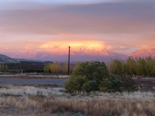
Misty Sunset over Wasatch Mountains, U.S. Route 6, Santaquin, Utah
sw utah lake
utah whereut guessed panoramio googlestreetview rjmathesonwon mosida
What's aglow (Mosida, Utah)
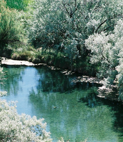
trees green water reflections pond shadows
green pool
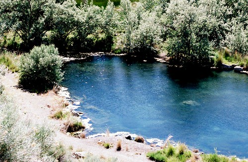
water utah pond
look out below
utah backyard story goshen gabefarnsworth coulombic nokia808pureview
There's a story, here.
younglivingessentialoils
Balsam Cedar Harvest 09
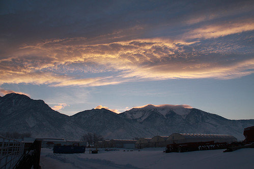
winter sky snow mountains home clouds sunrise utah santaquin
Good morning!
orange usa west flower color macro nature canon butterfly geotagged utah bokeh
Maple Lake
summer lake field landscape utah cabin farm shed
Old Farm Shed II
square squareformat hefe iphoneography instagramapp uploaded:by=instagram foursquare:venue=4f32989f19836c91c7e7360f
An abandoned gravel pit on the south end of Utah Lake
infocus highquality
DSC_3980_edited-1
sunset panorama nature weather clouds landscape evening landscapes utah twilight unitedstates sundown dusk license editorial nightfall santaquin ccby
Panorama Sunset
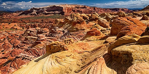
arizona wave formations paria
Not from these parts
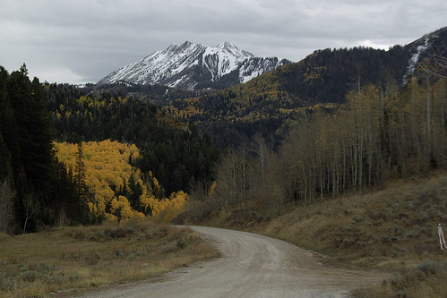
road autumn mountains fall rural landscape utah scenic foliage aspens populustremuloides
Mt Nebo from Tinney Flats
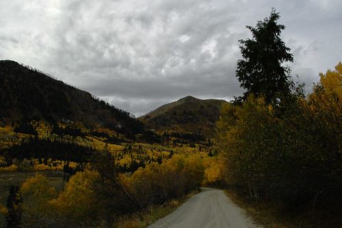
road autumn mountains fall rural landscape utah scenic foliage aspens
Dry Mountain from Tinney Flats
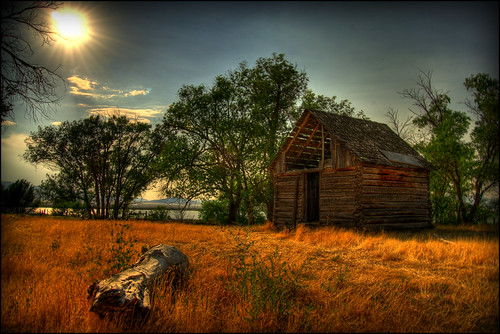
summer lake field landscape utah cabin farm shed
Old Farm Shed
square squareformat inkwell iphoneography instagramapp uploaded:by=instagram
#instashot of the day! #paysoncanyon #ice #icicle #igutah #beauty #beautiful #hike #hiking #adventure #scenic #scenery #landscape #nature #naturelovers #outdoors #outdoorlife #utah #hikeutah #utahlife #utahisrad #blackandwhite #bw #sky #skyline #clouds
landscape ut mona
Lavender Farm 2013-07-11 at 21-01-08
trees lake fruit utah cherries farm harvest grow orchard rows pristine
Young Orchard