Elevation of Pommel Dr, Payson, UT, USA
Location: United States > Utah > Utah County > Payson >
Longitude: -111.73856
Latitude: 40.0189881
Elevation: -10000m / -32808feet
Barometric Pressure: 295KPa
Elevation Map:
Satellite Map:
Related Photos:

easy street

A Quiet Night in the Park

Quite the view...but two weeks late

Forest patchwork
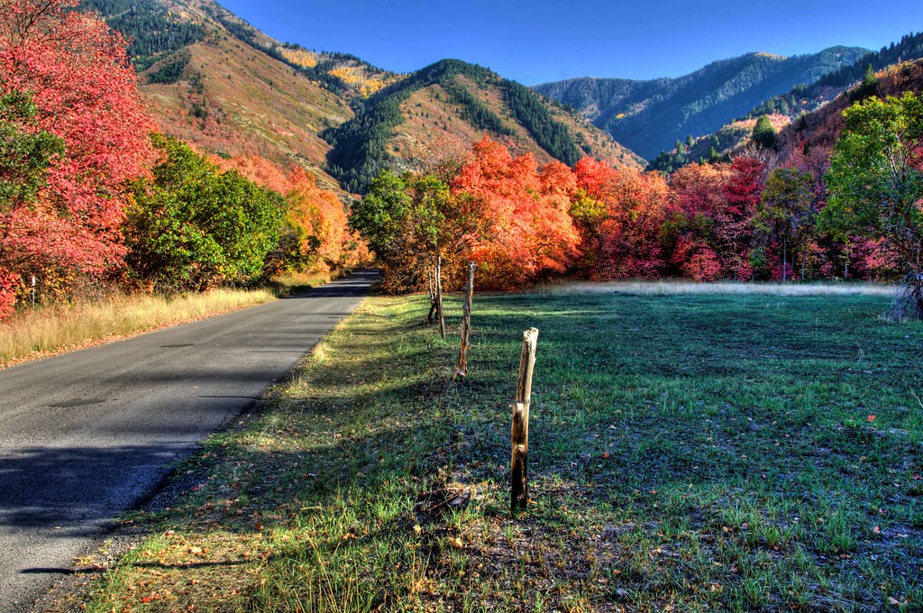
Along the Road

Spanish Fork

Krishna Temple 4b

Misty Sunset over Wasatch Mountains, U.S. Route 6, Santaquin, Utah

Misty Sunset over Wasatch Mountains, U.S. Route 6, Santaquin, Utah

Misty Sunset over Wasatch Mountains, U.S. Route 6, Santaquin, Utah

Misty Sunset over Wasatch Mountains, U.S. Route 6, Santaquin, Utah

Misty Sunset over Wasatch Mountains, U.S. Route 6, Santaquin, Utah

Misty Sunset over Wasatch Mountains, U.S. Route 6, Santaquin, Utah

Spanish Fork Sunset

Festival of Colors

Spanish Fork Rodeo

Great Views En Route to Picking Peaches in Payson, Utah

Spanish Fork Sunset II

Nebo Loop Road, Between Payson and Nephi, Utah

Nebo Loop Road, Between Payson and Nephi, Utah (23)

Nebo Loop Road, Between Payson and Nephi, Utah (19)

Nebo Fall

MOGWC-31 at Rocky Ridge

Santaquin Peak

Uphill through the snow

A Million Voices

Power on Display

There's a story, here.

Winter Tree 1

UP 2736
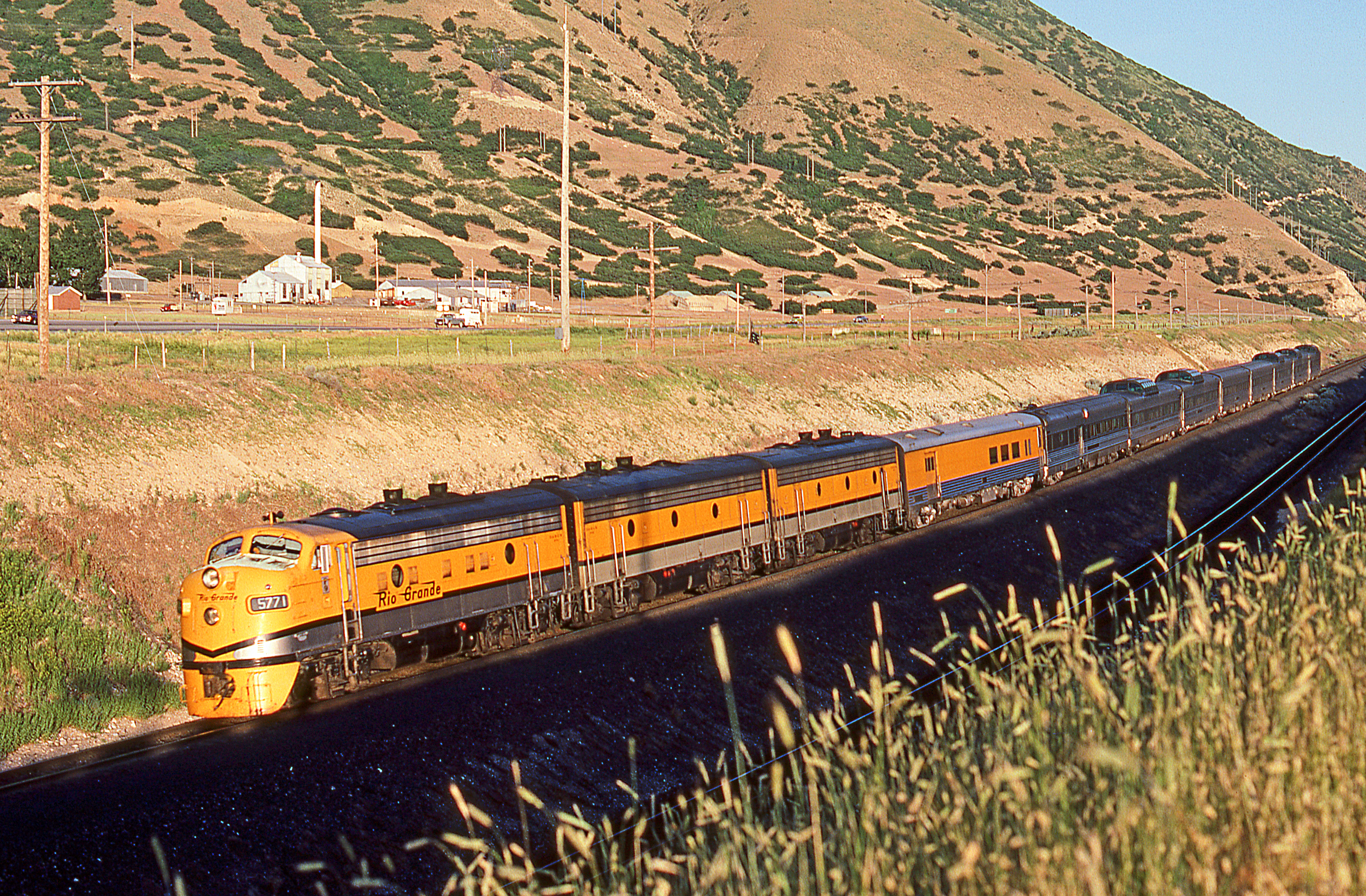
1982 07-03 2004 DRGW F9A-5771 W/B Spanish Fork, UT

When You Know It's Downhill Home

There was once a forest on Mount Loafer

Good morning!

Aspen light

Nebo from the BLACKHAWK TR(ail)

McClellan Lake
Topographic Map of Pommel Dr, Payson, UT, USA
Find elevation by address:

Places near Pommel Dr, Payson, UT, USA:
1161 S 300 E
Payson
Elk Ridge Assisted Living
245 Gladstan Dr
180 W Salem Hills Dr
West Olympic Lane
South Hillside Drive
Elk Ridge
200 N 100 W
South Highland Circle
Santaquin
19 W Main St, Santaquin, UT, USA
S W, Payson, UT, USA
West Mountain
315 S 500 E
75 W Oak Dr
Right Fork Loafer Canyon
120 Bridger Cir
Woodland Hills
660 Woodland Hills Dr
Recent Searches:
- Elevation of Corso Fratelli Cairoli, 35, Macerata MC, Italy
- Elevation of Tallevast Rd, Sarasota, FL, USA
- Elevation of 4th St E, Sonoma, CA, USA
- Elevation of Black Hollow Rd, Pennsdale, PA, USA
- Elevation of Oakland Ave, Williamsport, PA, USA
- Elevation of Pedrógão Grande, Portugal
- Elevation of Klee Dr, Martinsburg, WV, USA
- Elevation of Via Roma, Pieranica CR, Italy
- Elevation of Tavkvetili Mountain, Georgia
- Elevation of Hartfords Bluff Cir, Mt Pleasant, SC, USA