Elevation of Genola, UT, USA
Location: United States > Utah > Utah County >
Longitude: -111.84326
Latitude: 39.9963426
Elevation: 1401m / 4596feet
Barometric Pressure: 86KPa
Elevation Map:
Satellite Map:
Related Photos:
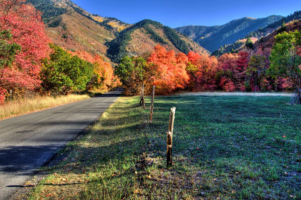
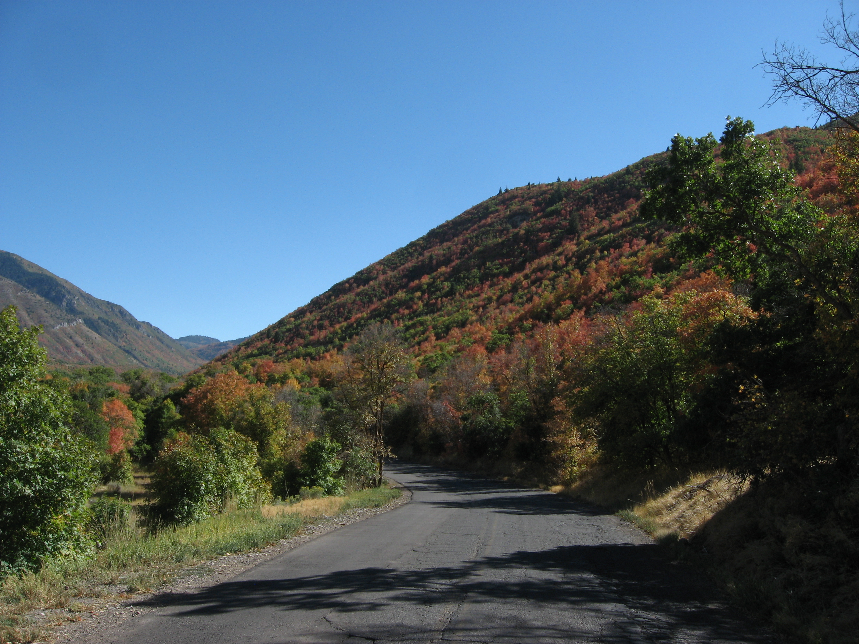
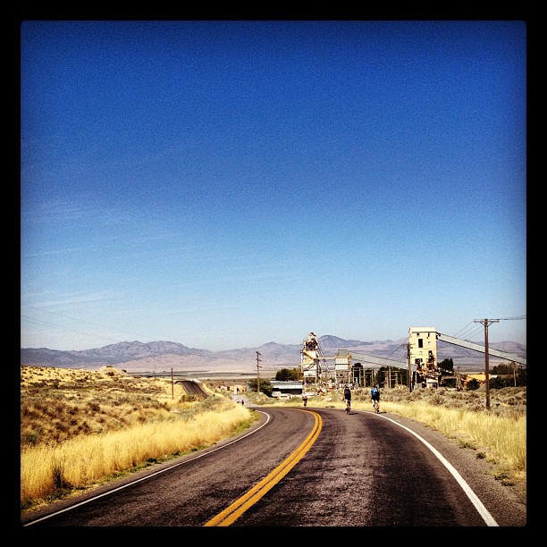
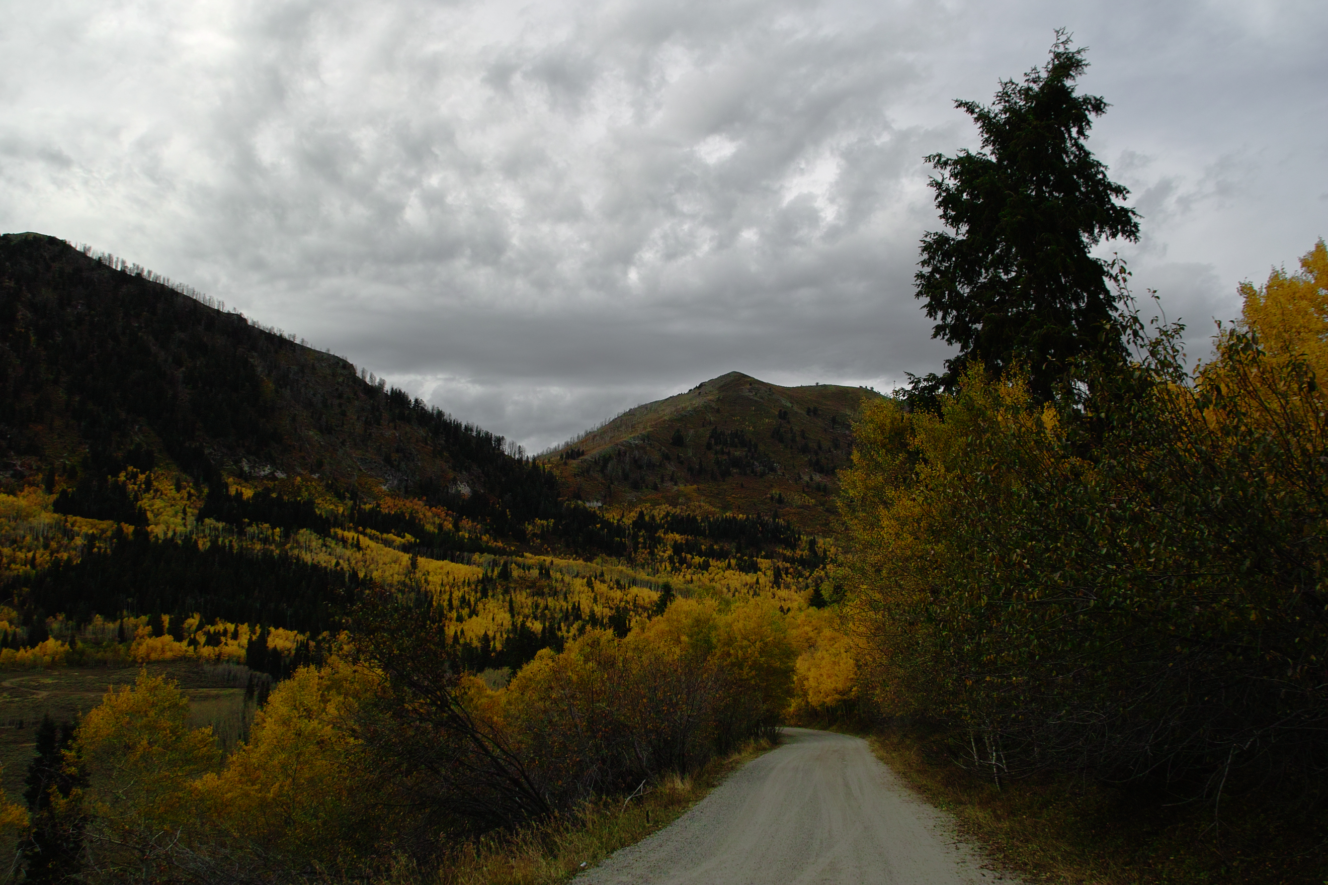
Along the Road

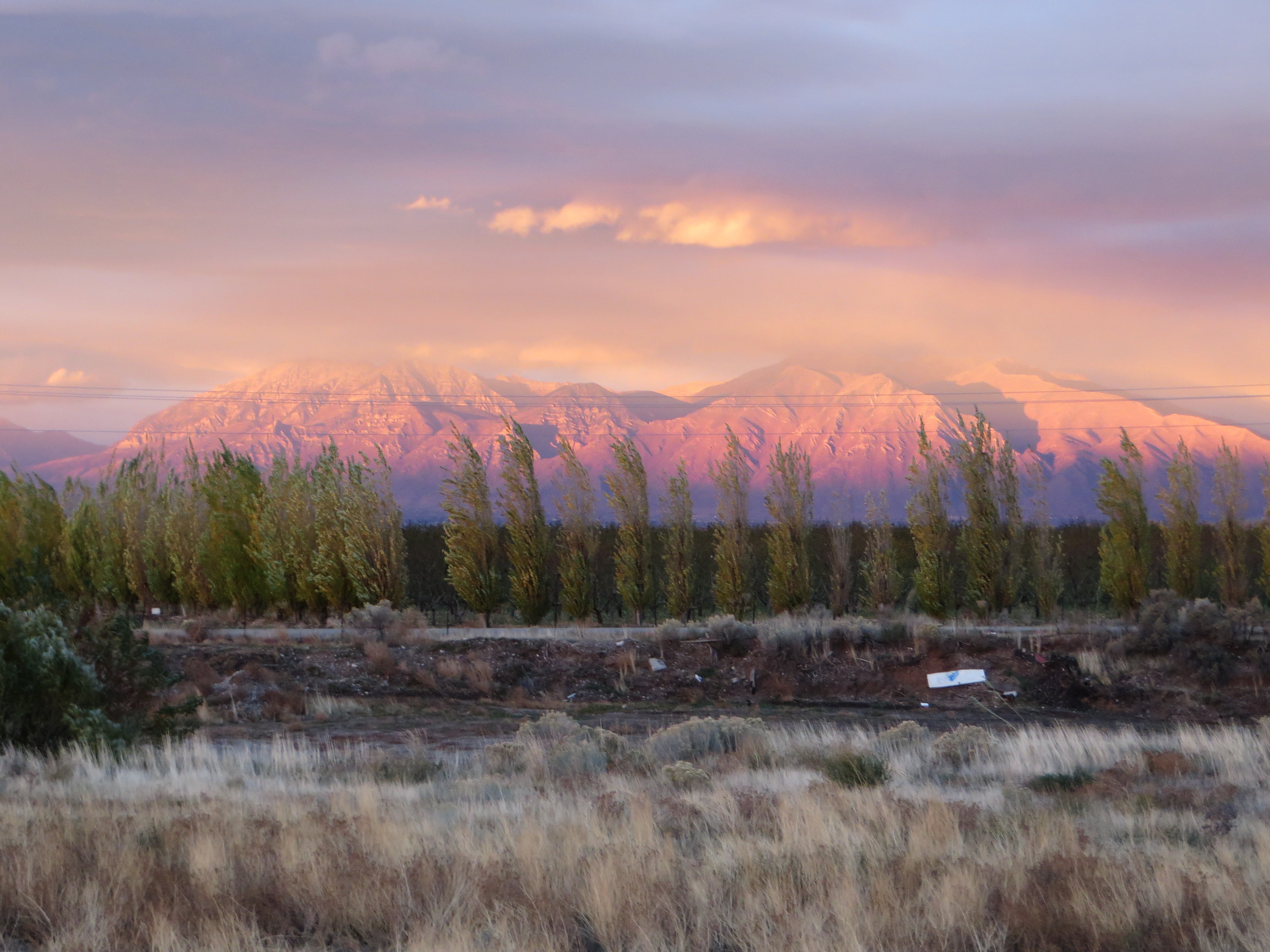
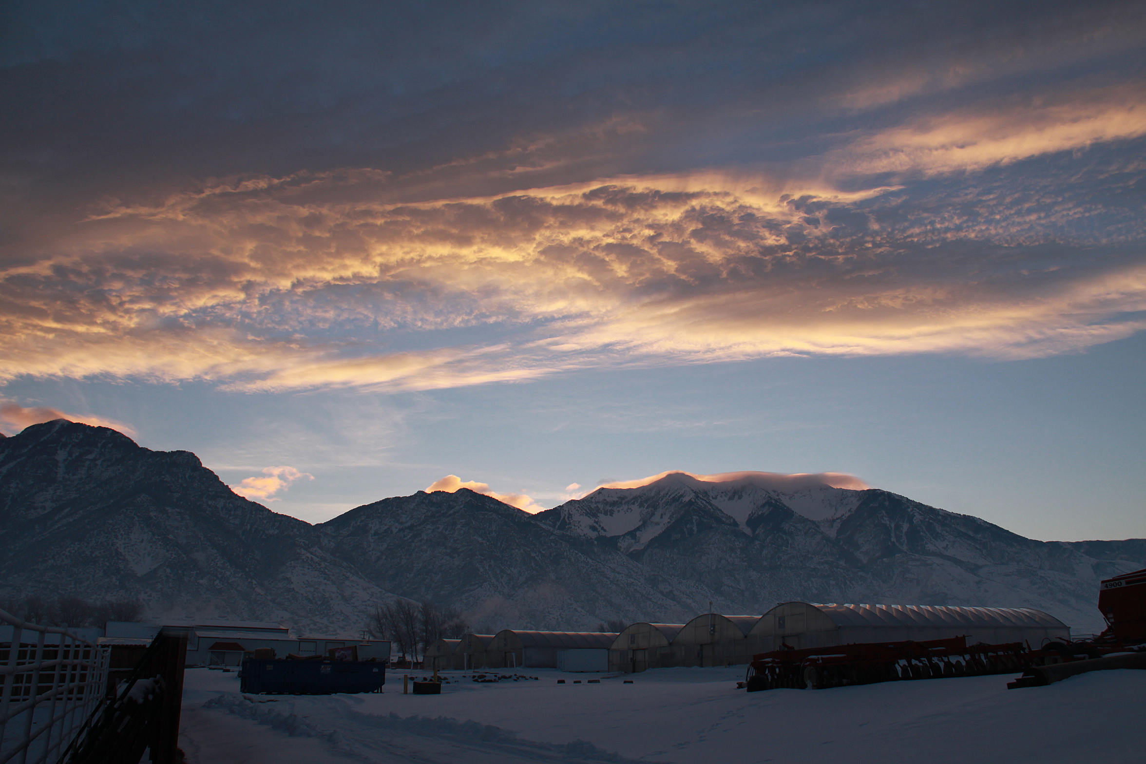
A Sunset

A Quiet Night in the Park
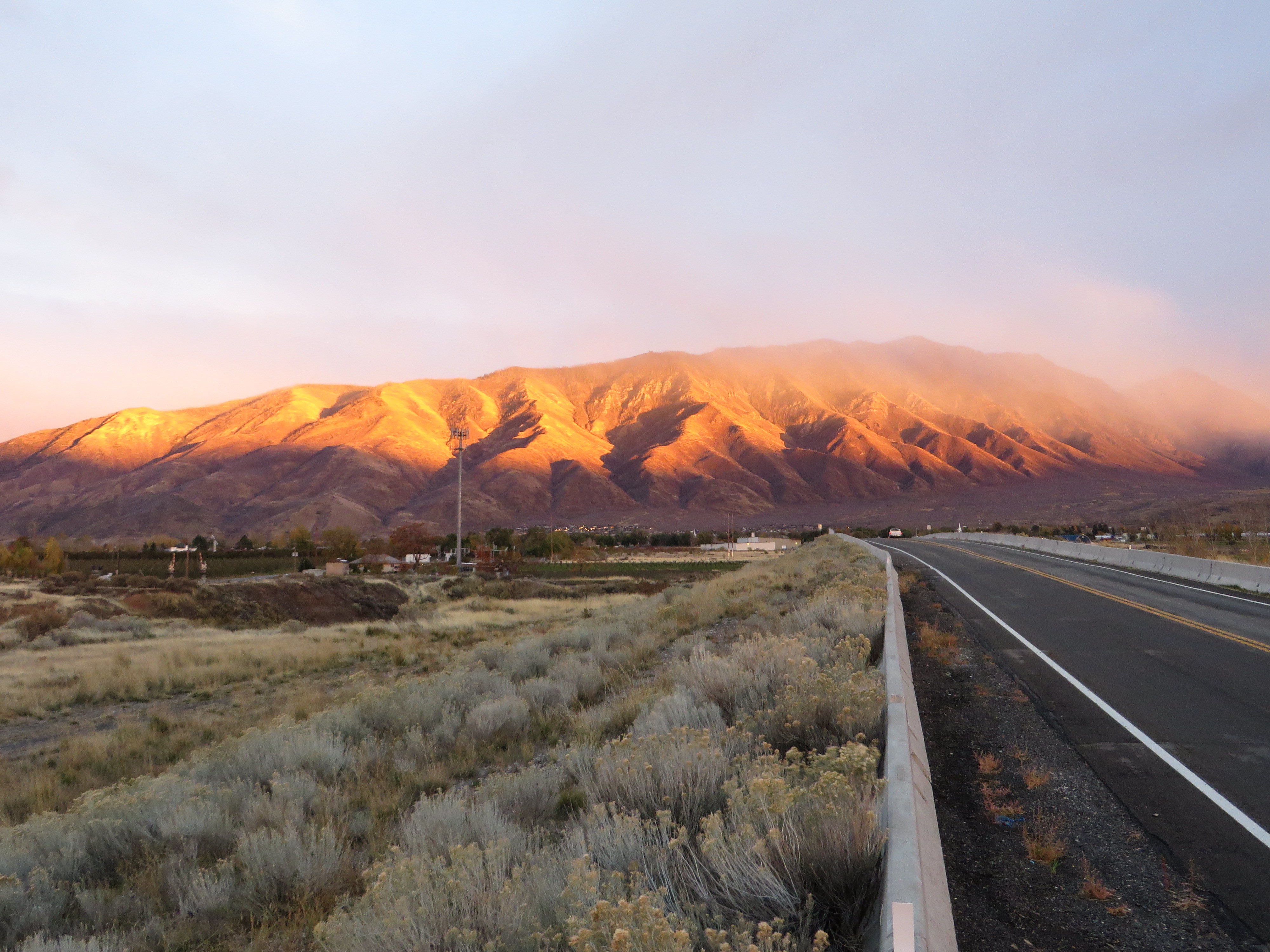
Misty Sunset over Wasatch Mountains, U.S. Route 6, Santaquin, Utah
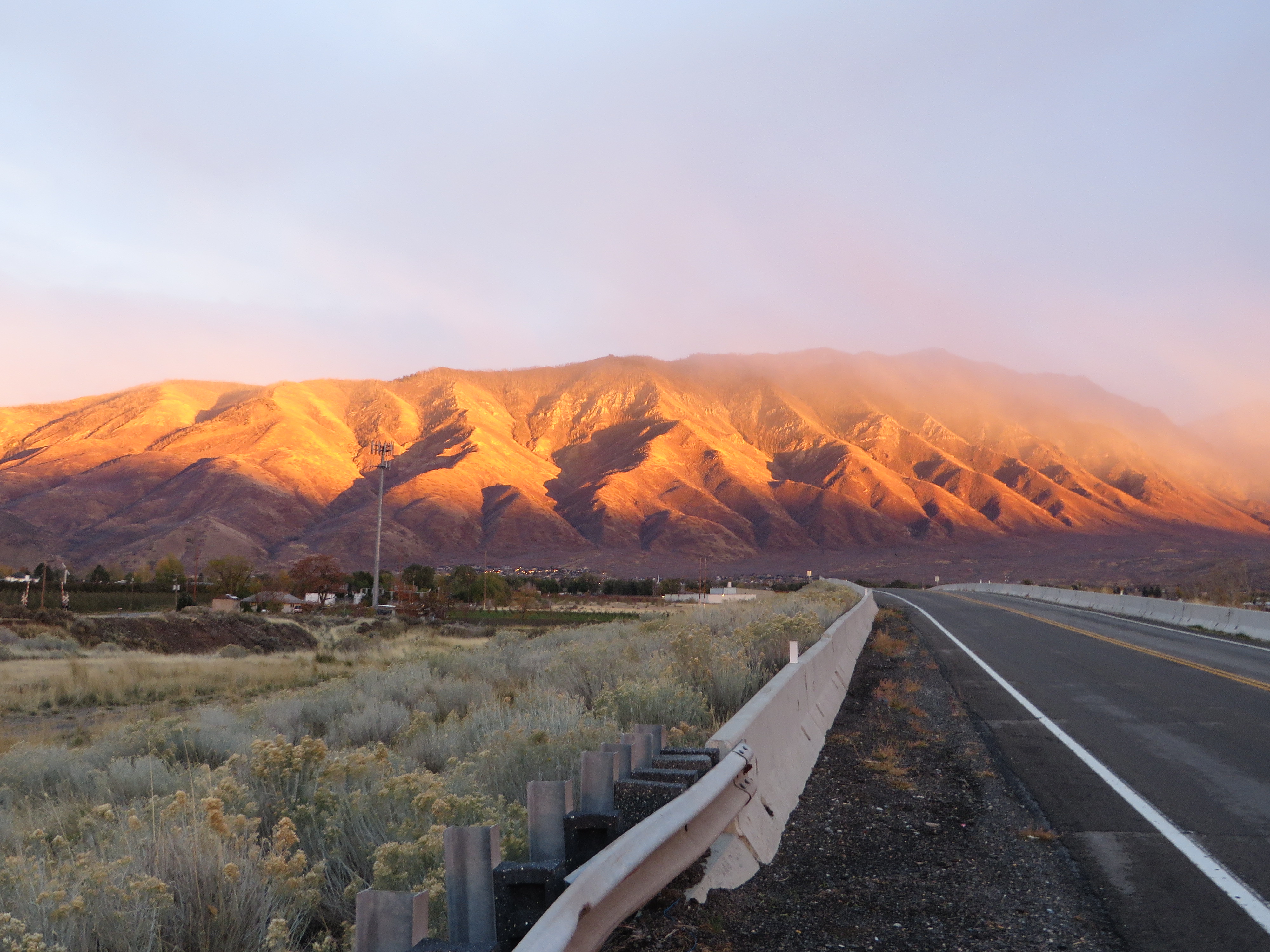
Misty Sunset over Wasatch Mountains, U.S. Route 6, Santaquin, Utah

Misty Sunset over Wasatch Mountains, U.S. Route 6, Santaquin, Utah
Misty Sunset over Wasatch Mountains, U.S. Route 6, Santaquin, Utah
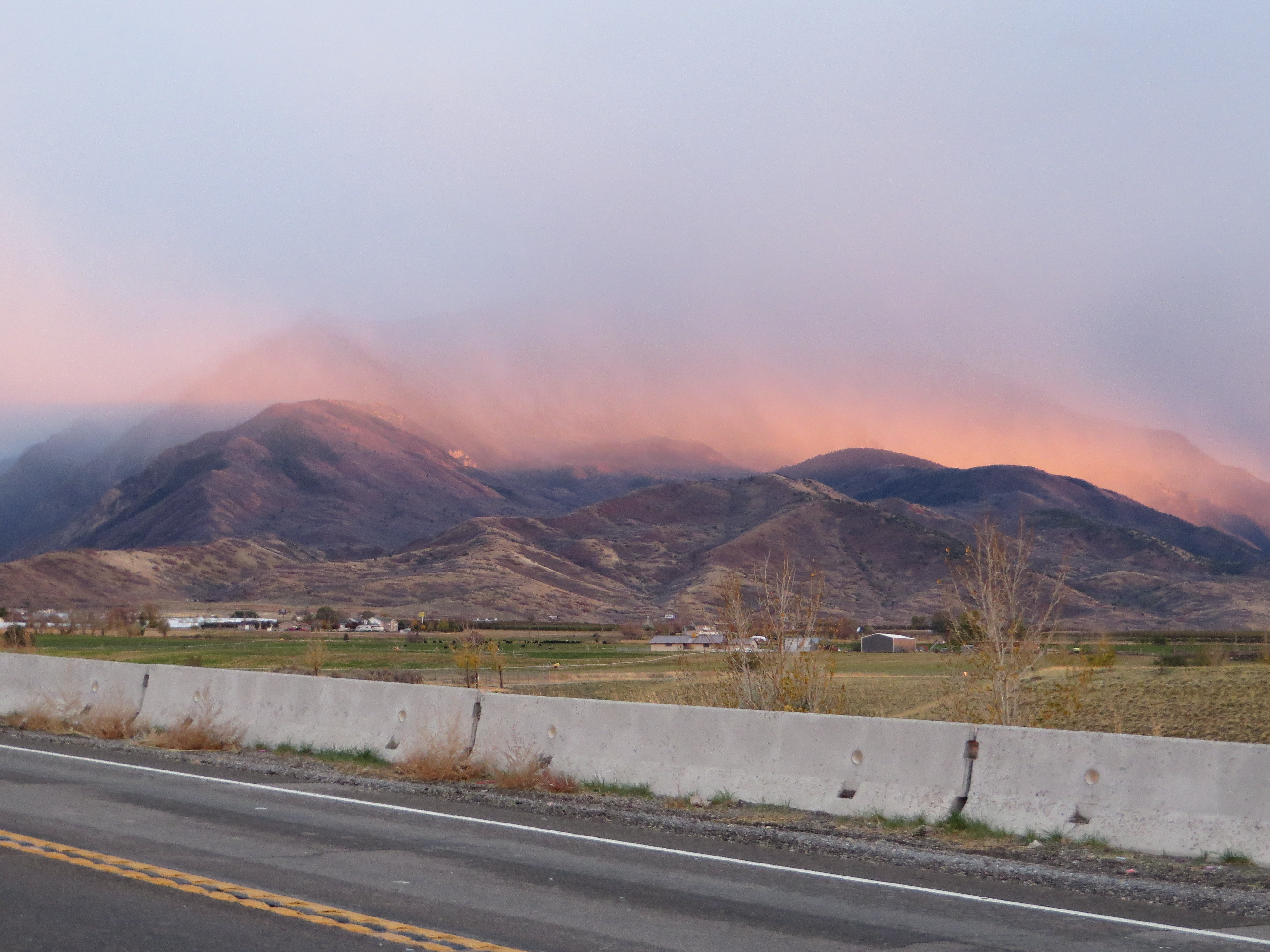
Misty Sunset over Wasatch Mountains, U.S. Route 6, Santaquin, Utah
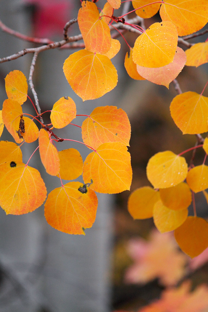
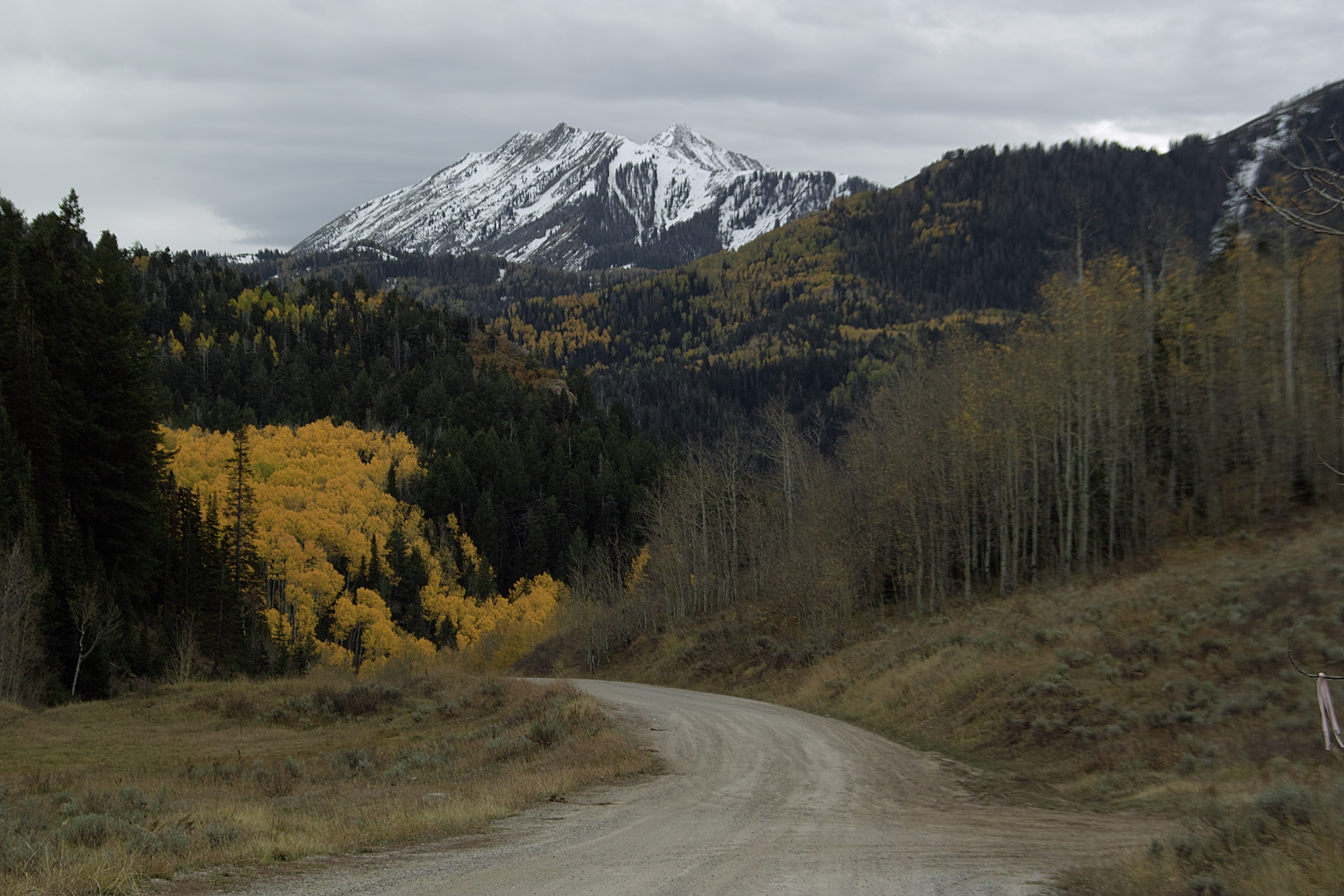
Golden Aspen Leaves

blue corner
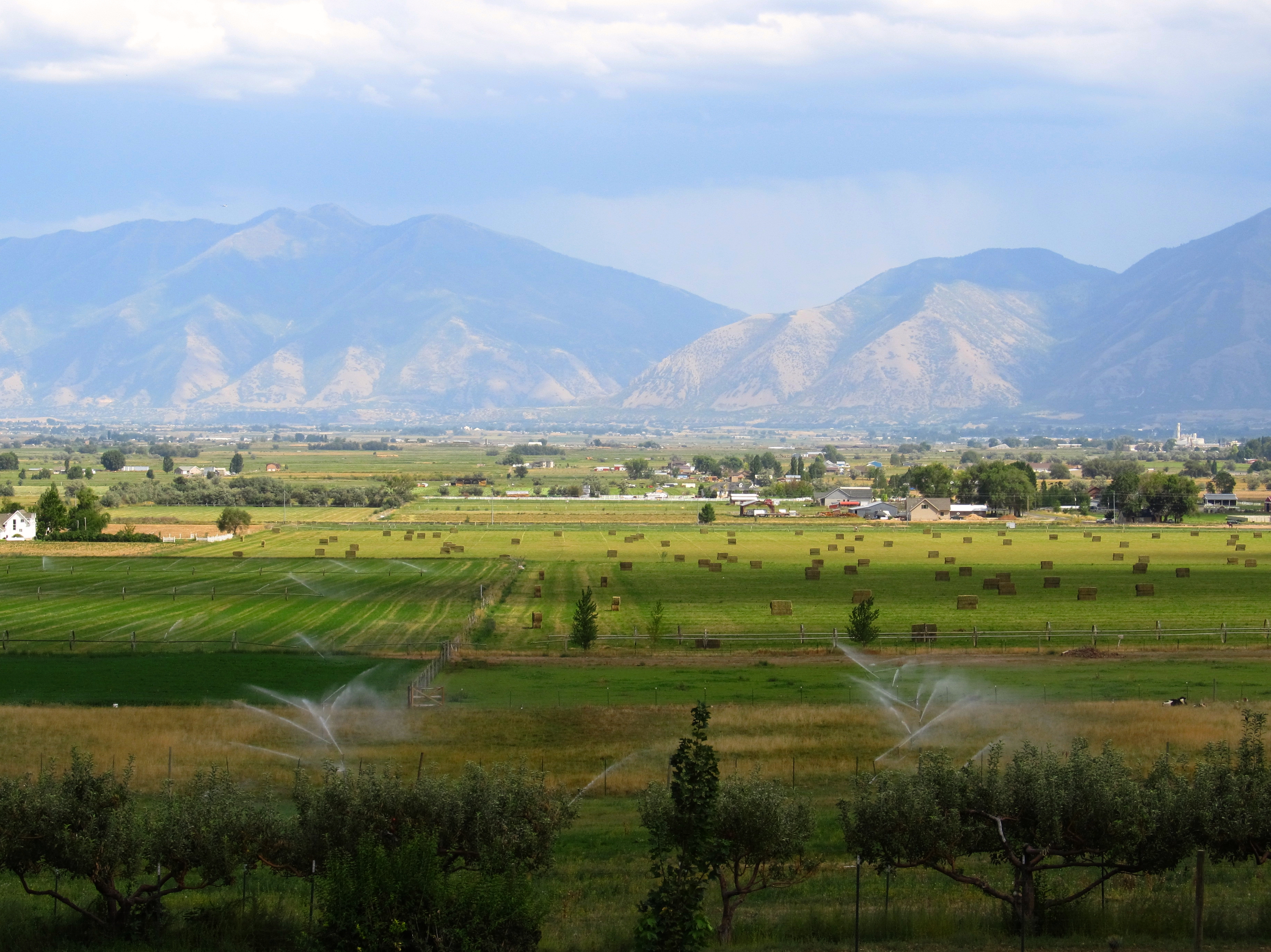
Great Views En Route to Picking Peaches in Payson, Utah
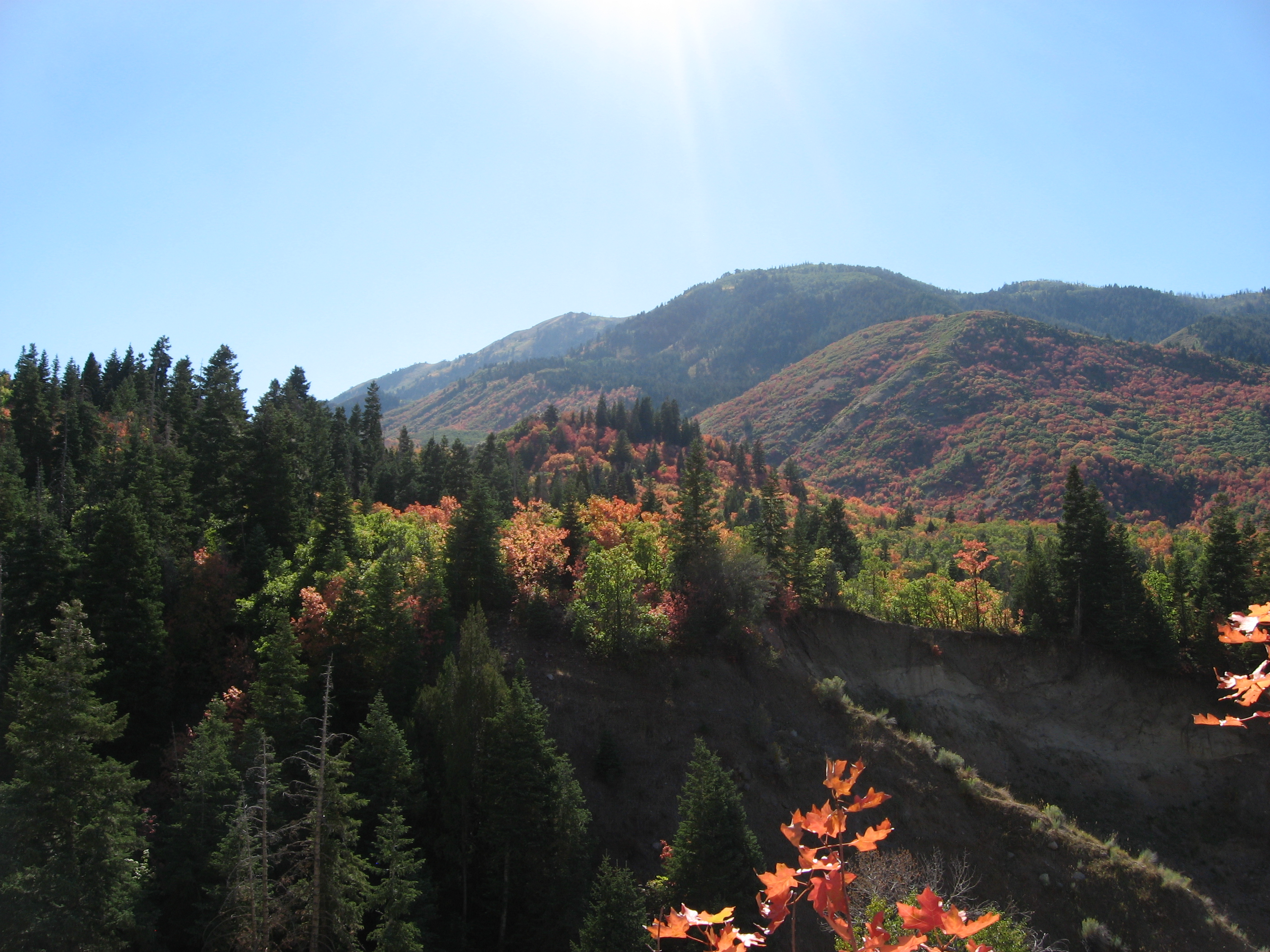
Nebo Loop Road, Between Payson and Nephi, Utah (9)

West Mountain
Nebo Loop Road, Between Payson and Nephi, Utah

Google Street View - Mosida, Utah
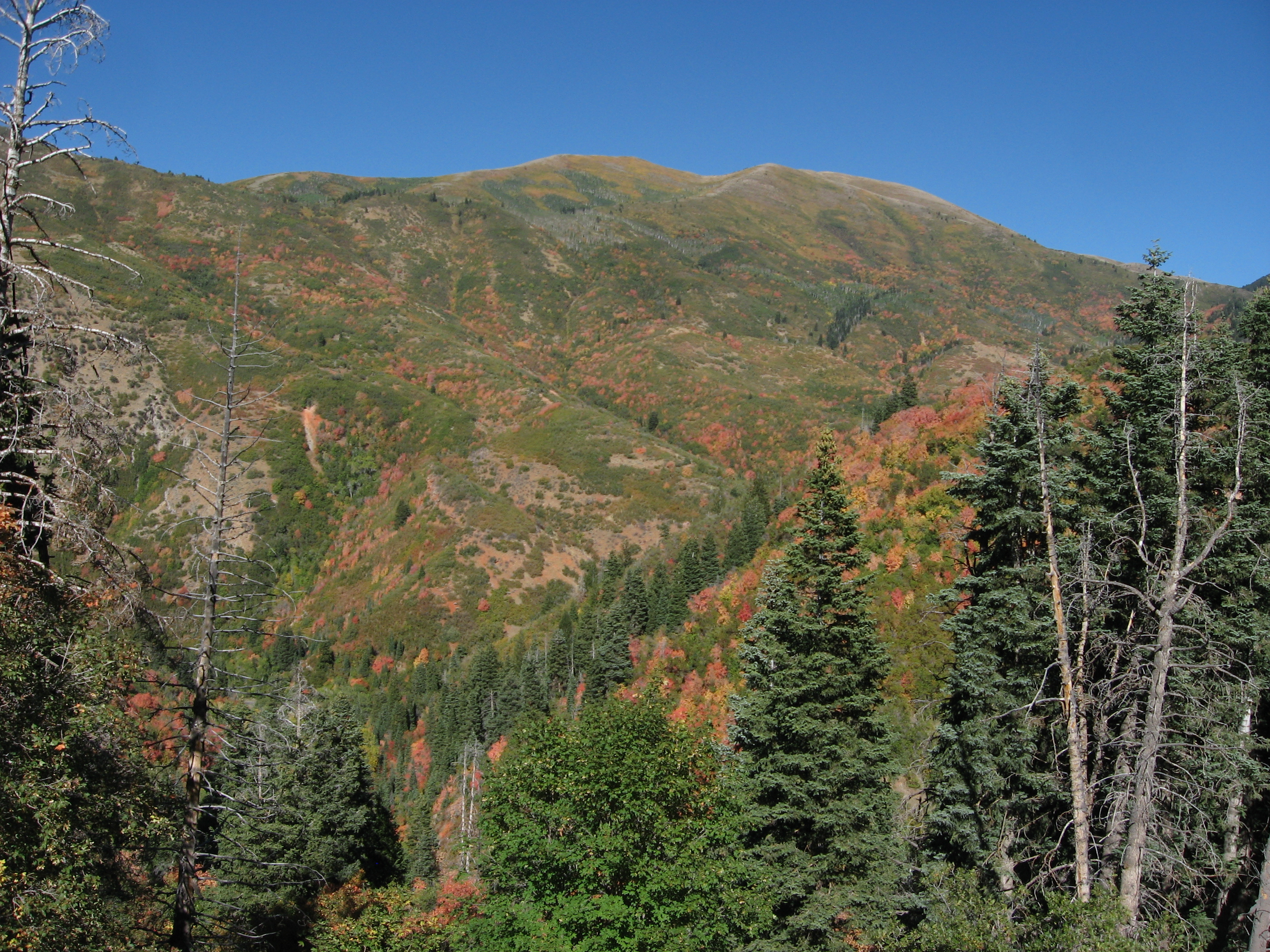
Nebo Loop Road, Between Payson and Nephi, Utah (12)
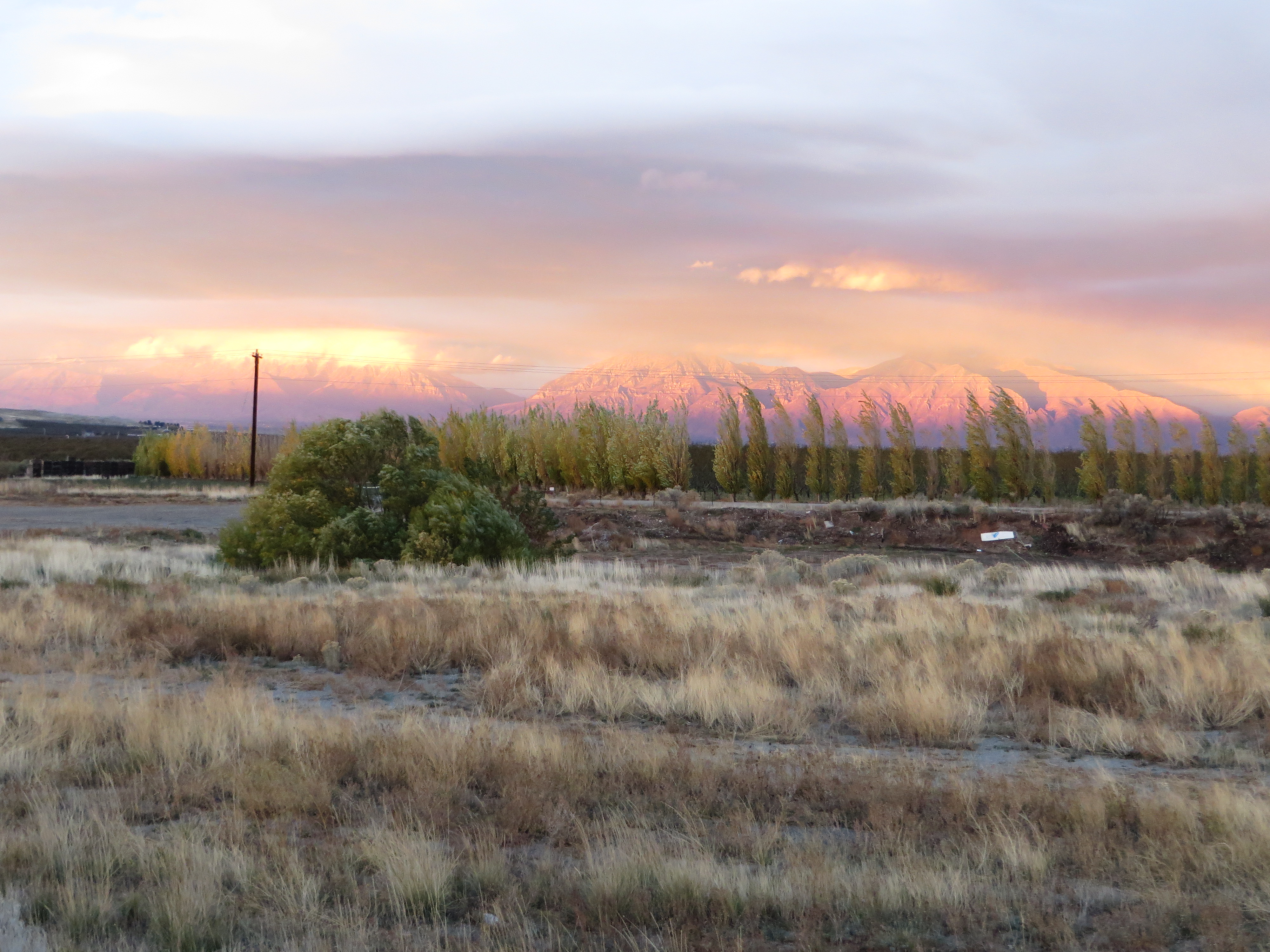
Misty Sunset over Wasatch Mountains, U.S. Route 6, Santaquin, Utah
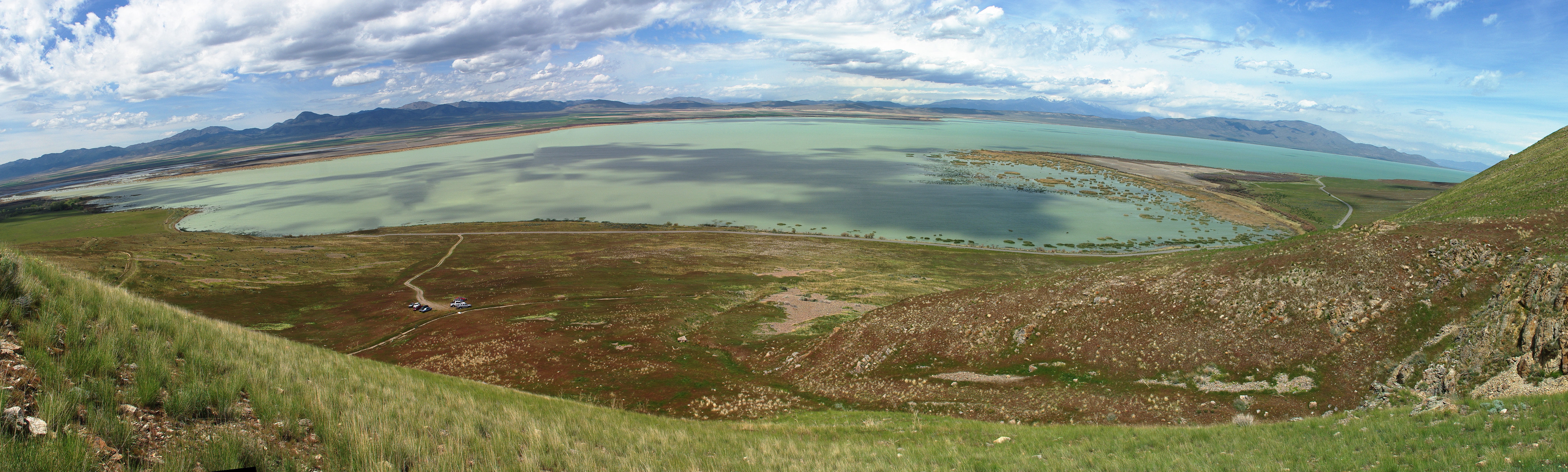
sw utah lake

What's aglow (Mosida, Utah)

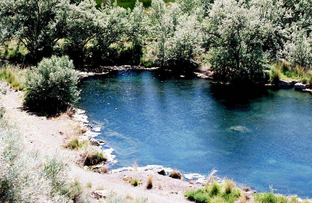
green pool
look out below
Good morning!

Maple Lake
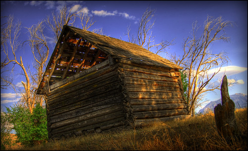
Old Farm Shed II
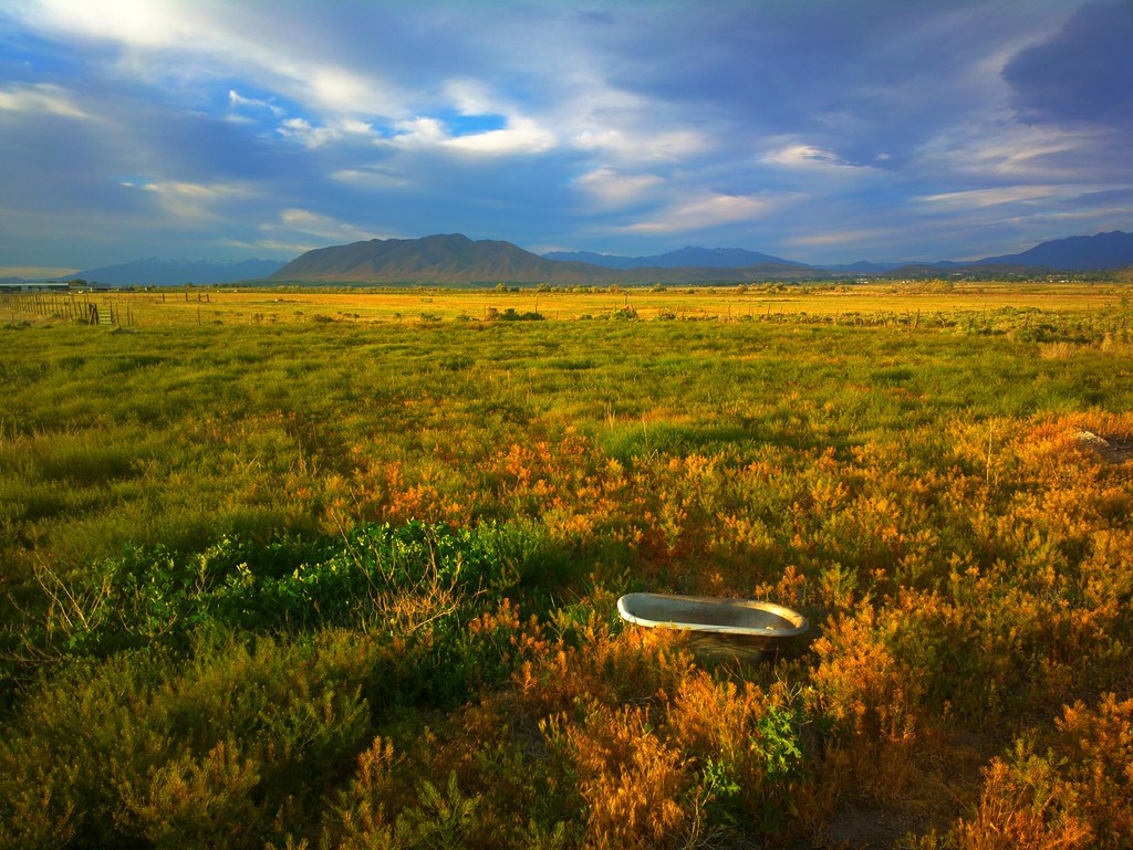
There's a story, here.
An abandoned gravel pit on the south end of Utah Lake

DSC_3980_edited-1

Panorama Sunset
Not from these parts
Balsam Cedar Harvest 09
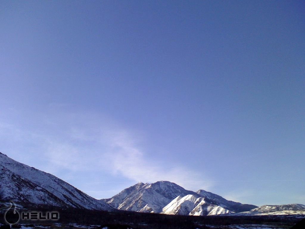
Mt Nebo from Tinney Flats
Dry Mountain from Tinney Flats
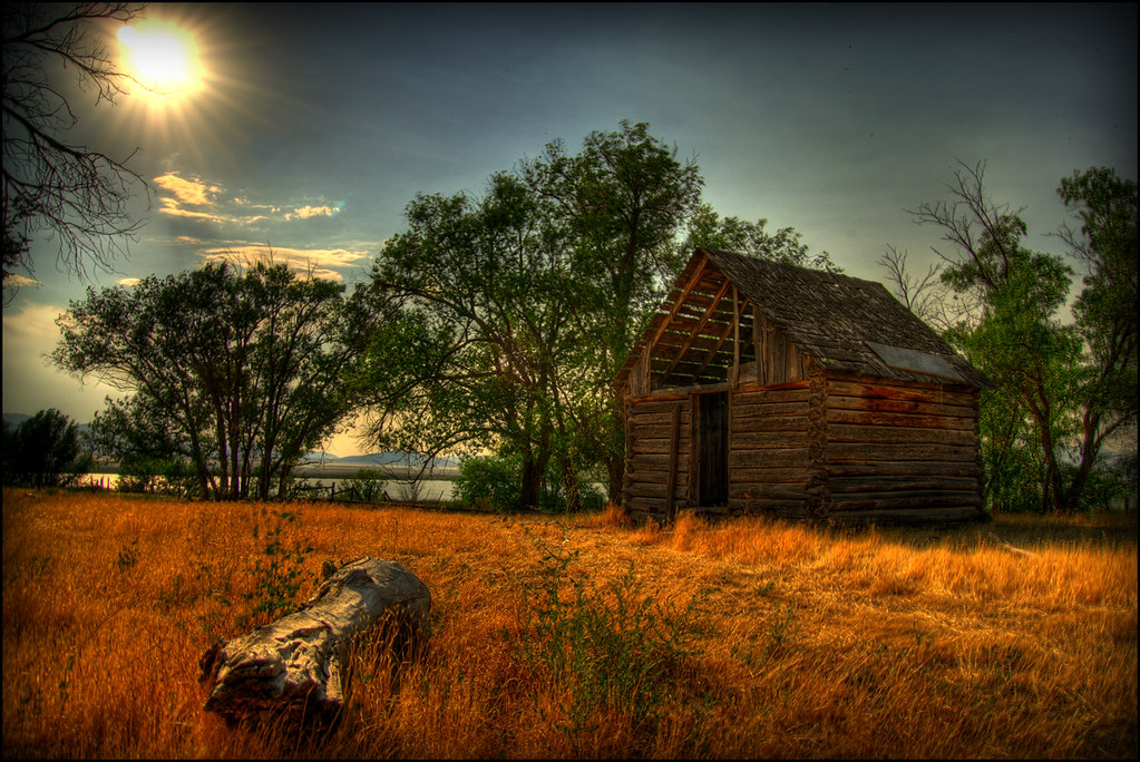
Old Farm Shed

#instashot of the day! #paysoncanyon #ice #icicle #igutah #beauty #beautiful #hike #hiking #adventure #scenic #scenery #landscape #nature #naturelovers #outdoors #outdoorlife #utah #hikeutah #utahlife #utahisrad #blackandwhite #bw #sky #skyline #clouds

Lavender Farm 2013-07-11 at 21-01-08

Young Orchard
Topographic Map of Genola, UT, USA
Find elevation by address:

Places in Genola, UT, USA:
Places near Genola, UT, USA:
32 N Main St, Genola, UT, USA
730 Sunset Dr
Summit Ridge Parkway
200 N 100 W
19 W Main St, Santaquin, UT, USA
Santaquin
Goshen
S W, Payson, UT, USA
West Mountain
441 Pommel Dr
1161 S 300 E
Payson
Nebo Ranch Street
245 Gladstan Dr
Elk Ridge Assisted Living
180 W Salem Hills Dr
West Olympic Lane
South Hillside Drive
Elk Ridge
South Highland Circle
Recent Searches:
- Elevation of Corso Fratelli Cairoli, 35, Macerata MC, Italy
- Elevation of Tallevast Rd, Sarasota, FL, USA
- Elevation of 4th St E, Sonoma, CA, USA
- Elevation of Black Hollow Rd, Pennsdale, PA, USA
- Elevation of Oakland Ave, Williamsport, PA, USA
- Elevation of Pedrógão Grande, Portugal
- Elevation of Klee Dr, Martinsburg, WV, USA
- Elevation of Via Roma, Pieranica CR, Italy
- Elevation of Tavkvetili Mountain, Georgia
- Elevation of Hartfords Bluff Cir, Mt Pleasant, SC, USA