Elevation of Eureka, UT, USA
Location: United States > Utah > Juab County >
Longitude: -112.12022
Latitude: 39.9541166
Elevation: 1963m / 6440feet
Barometric Pressure: 80KPa
Elevation Map:
Satellite Map:
Related Photos:
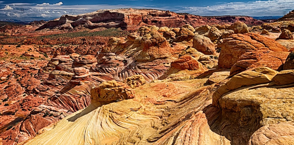
above the little town
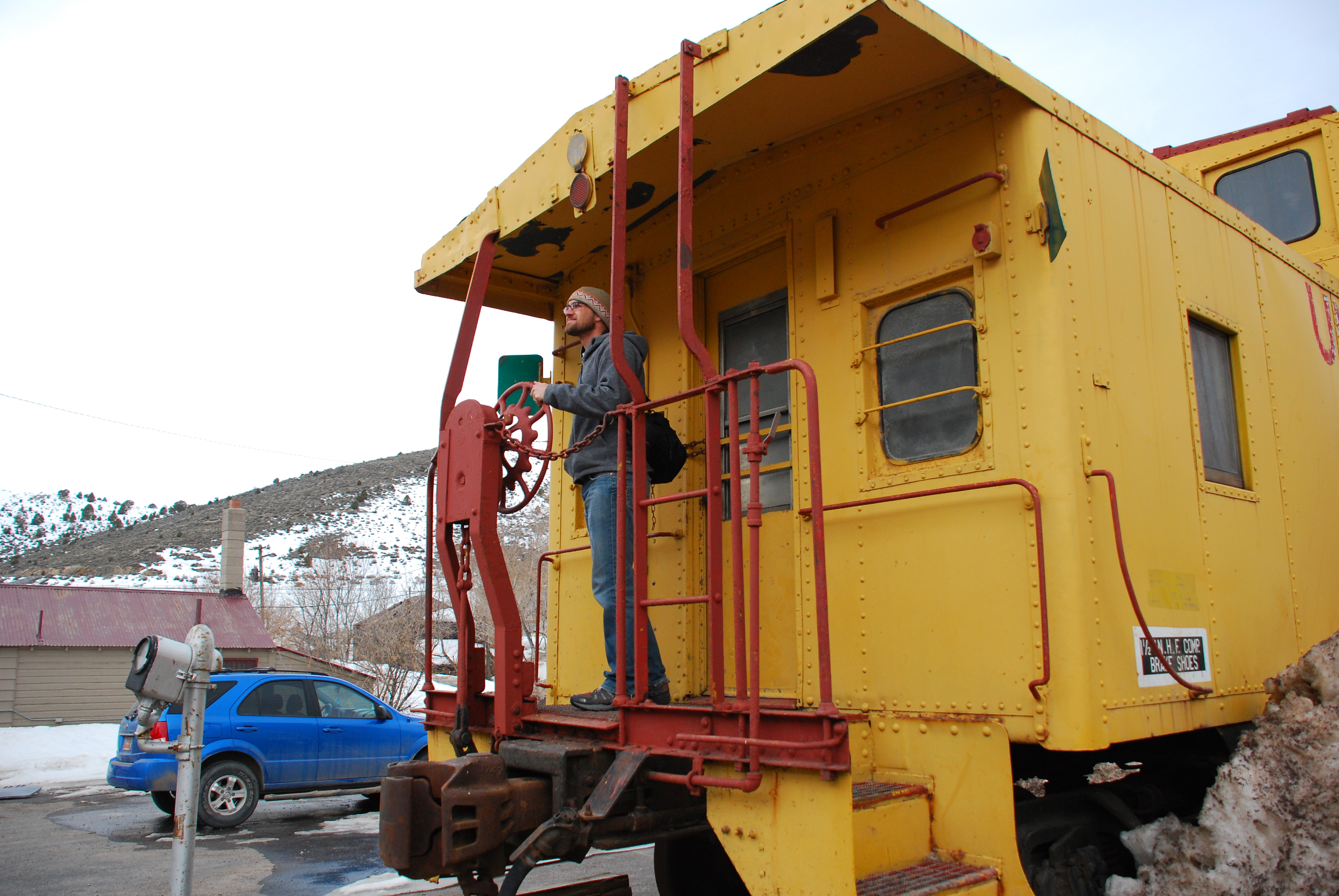
Kris enjoys the view
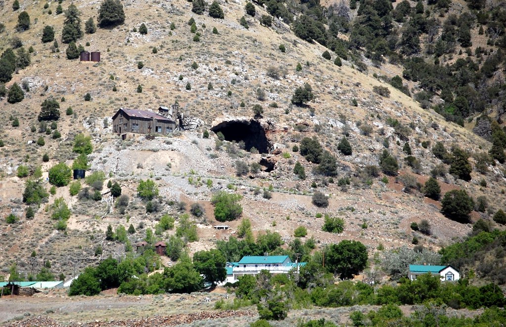
View of Tintic Valley from Ghost Town of Silver City, Utah
Looking East
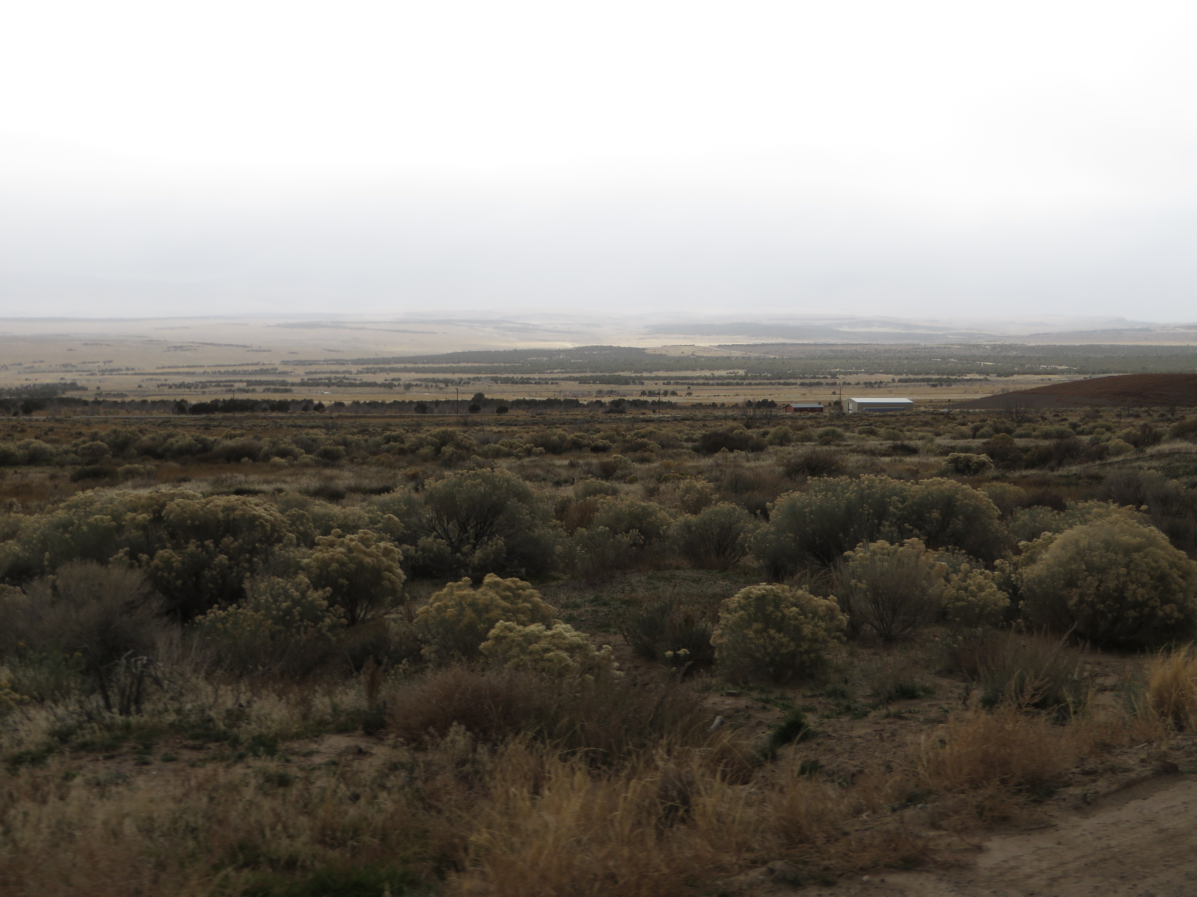
View of Tintic Valley from Ghost Town of Silver City, Utah

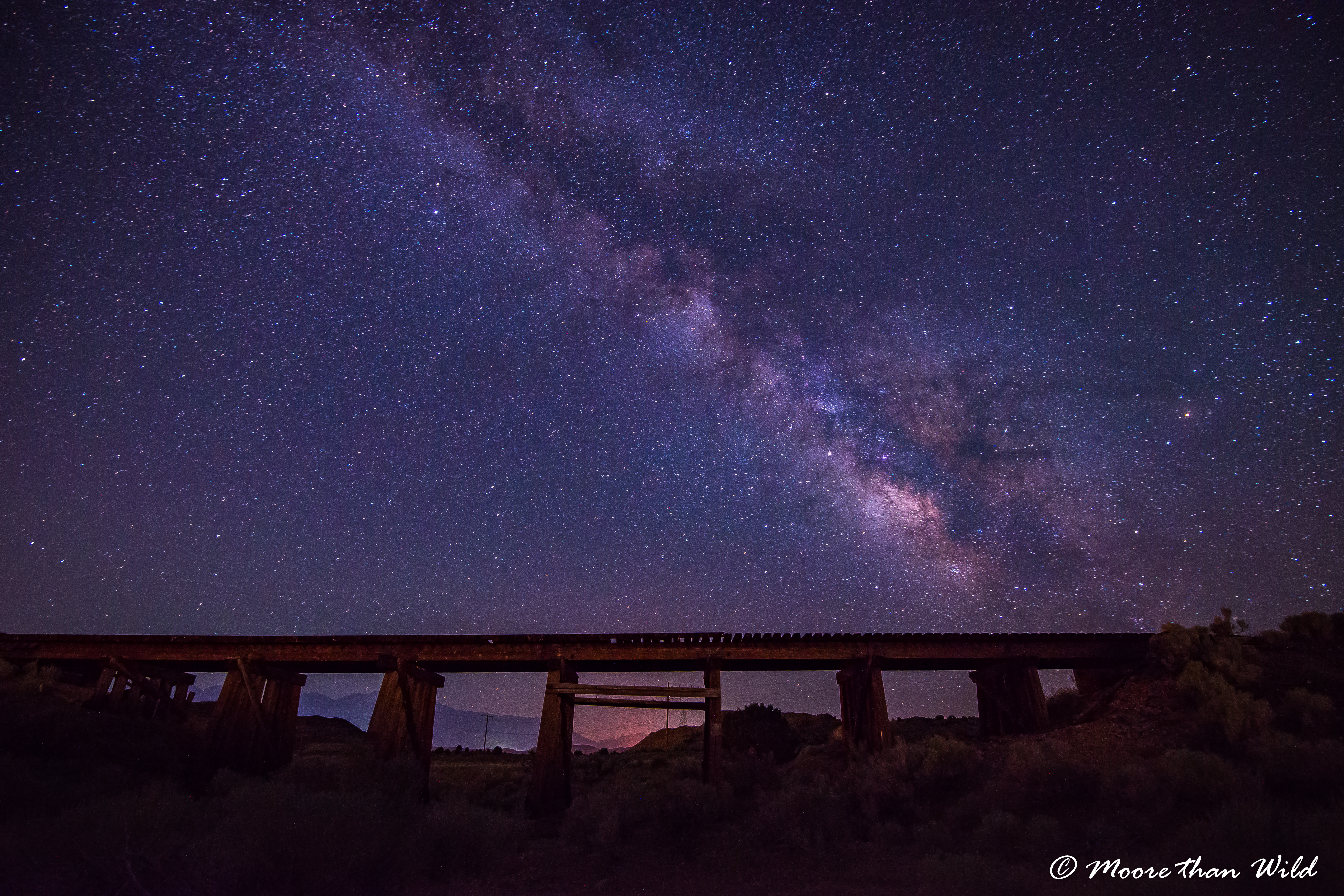
Another view of Bridge
Juab County, Utah
Who needs fireworks?
Juab County, Utah
Not from these parts
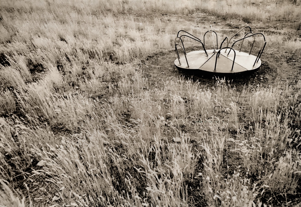
Old, abandon Merry-Go-Round
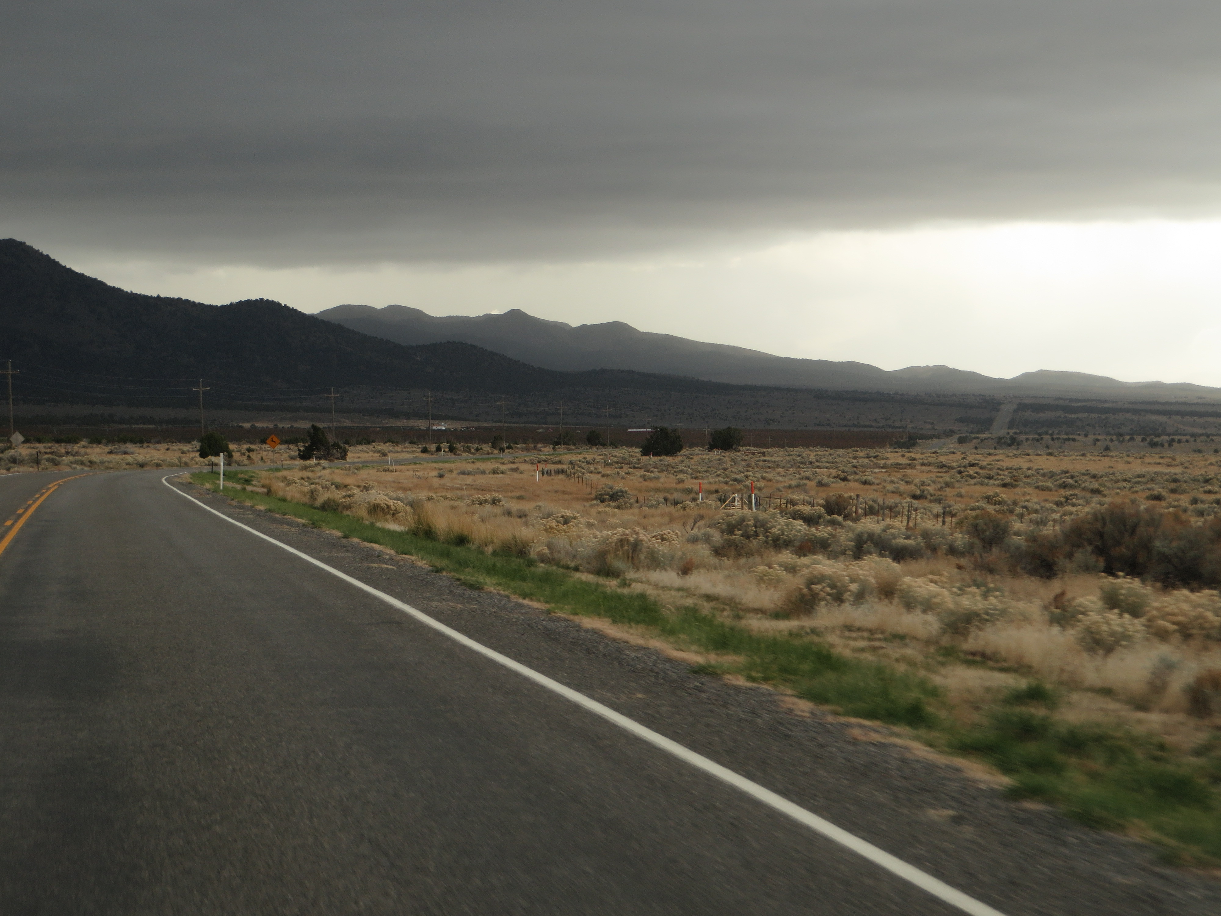
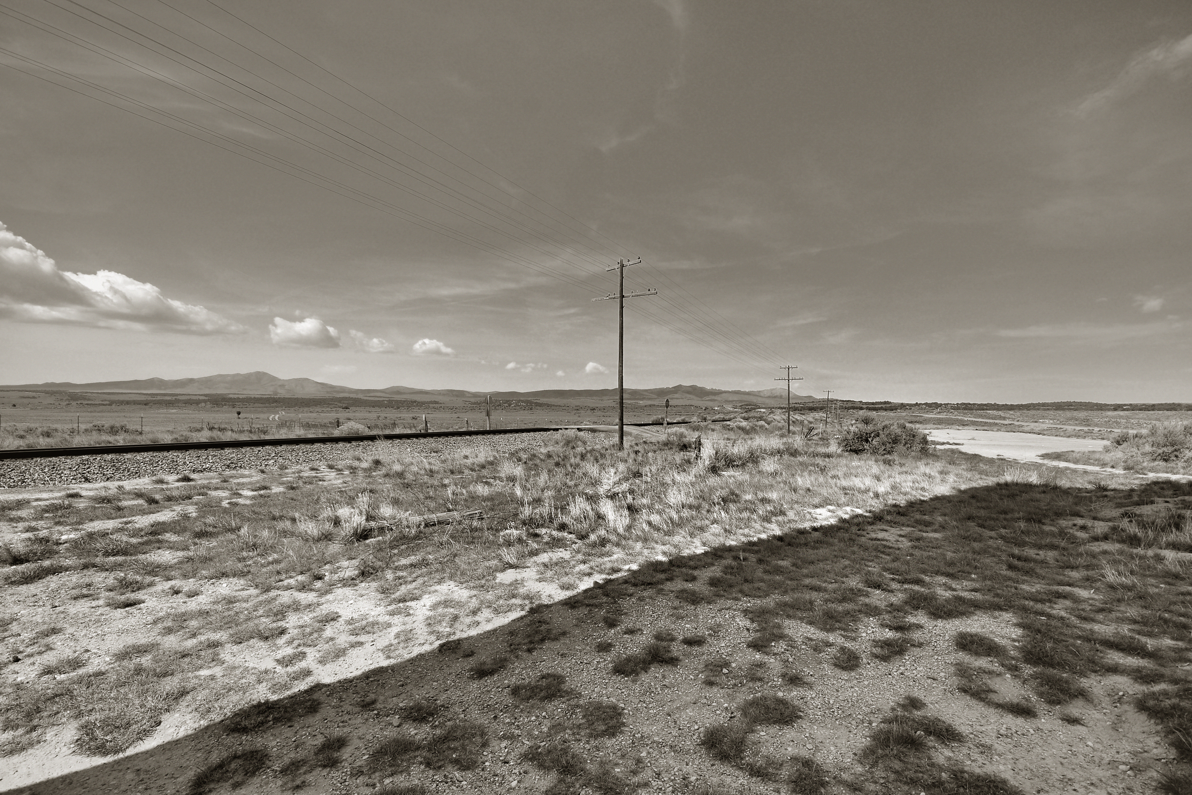
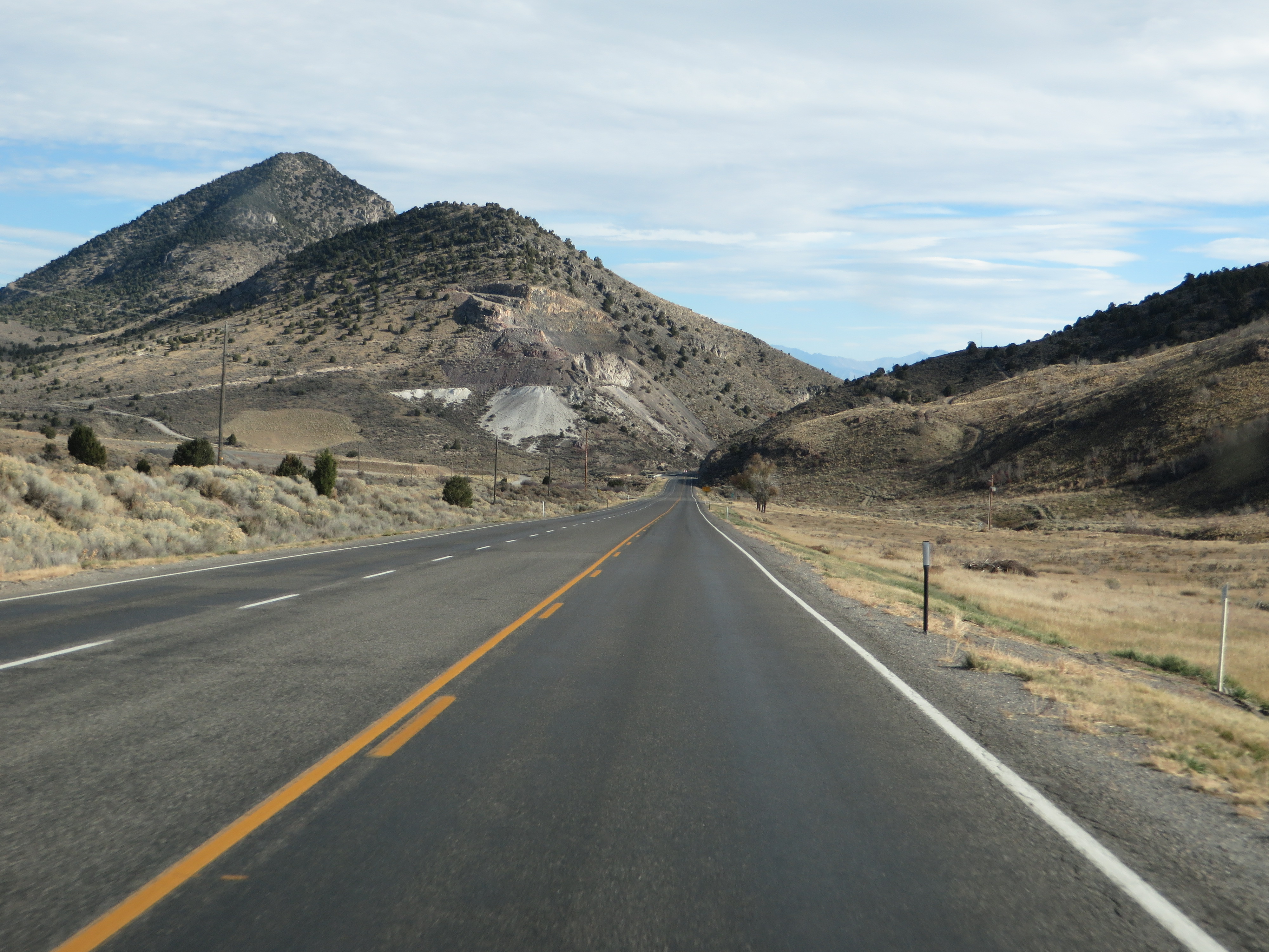
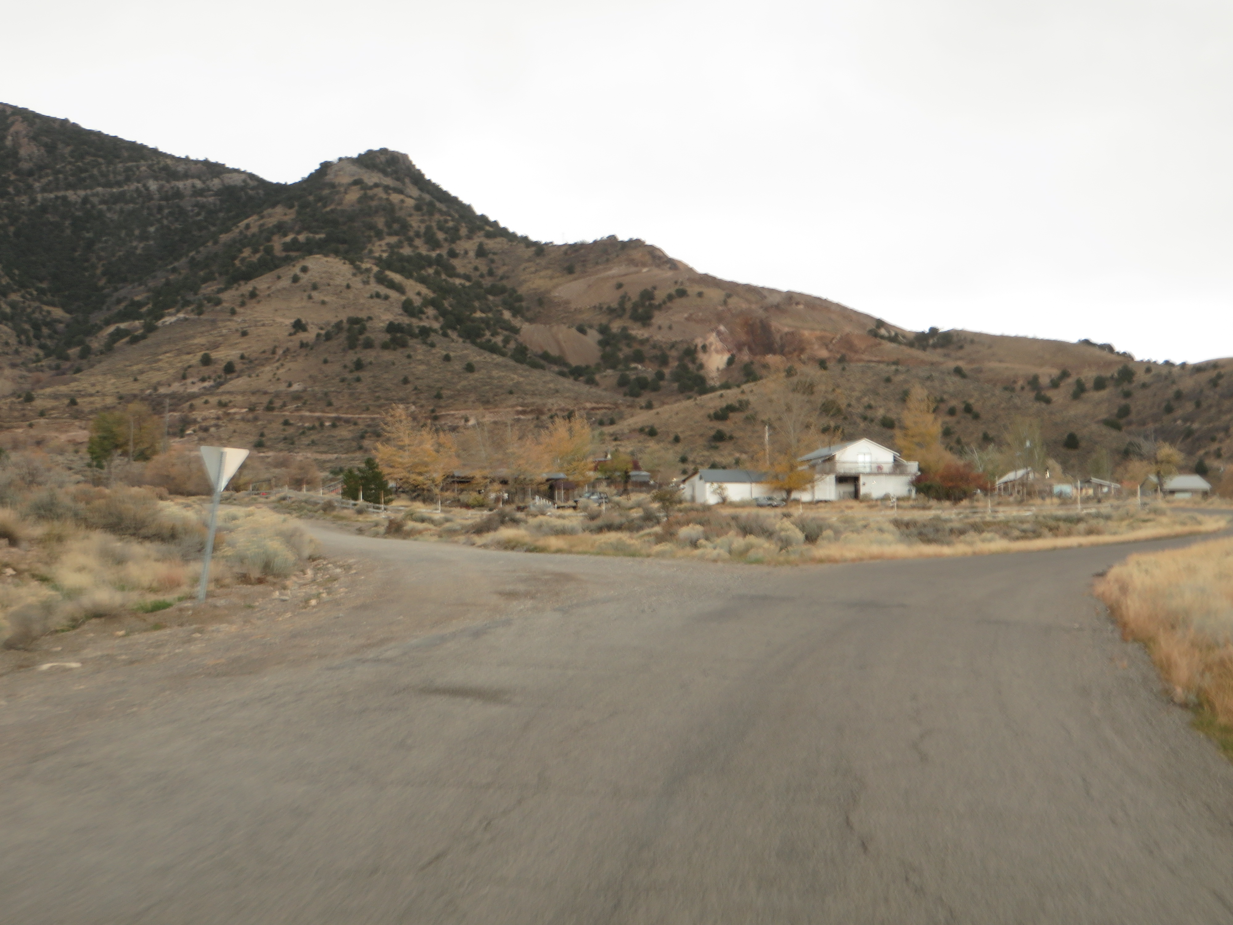
U.S. Route 6 South of Eureka, Utah
U.S. Route 6 South of Eureka, Utah
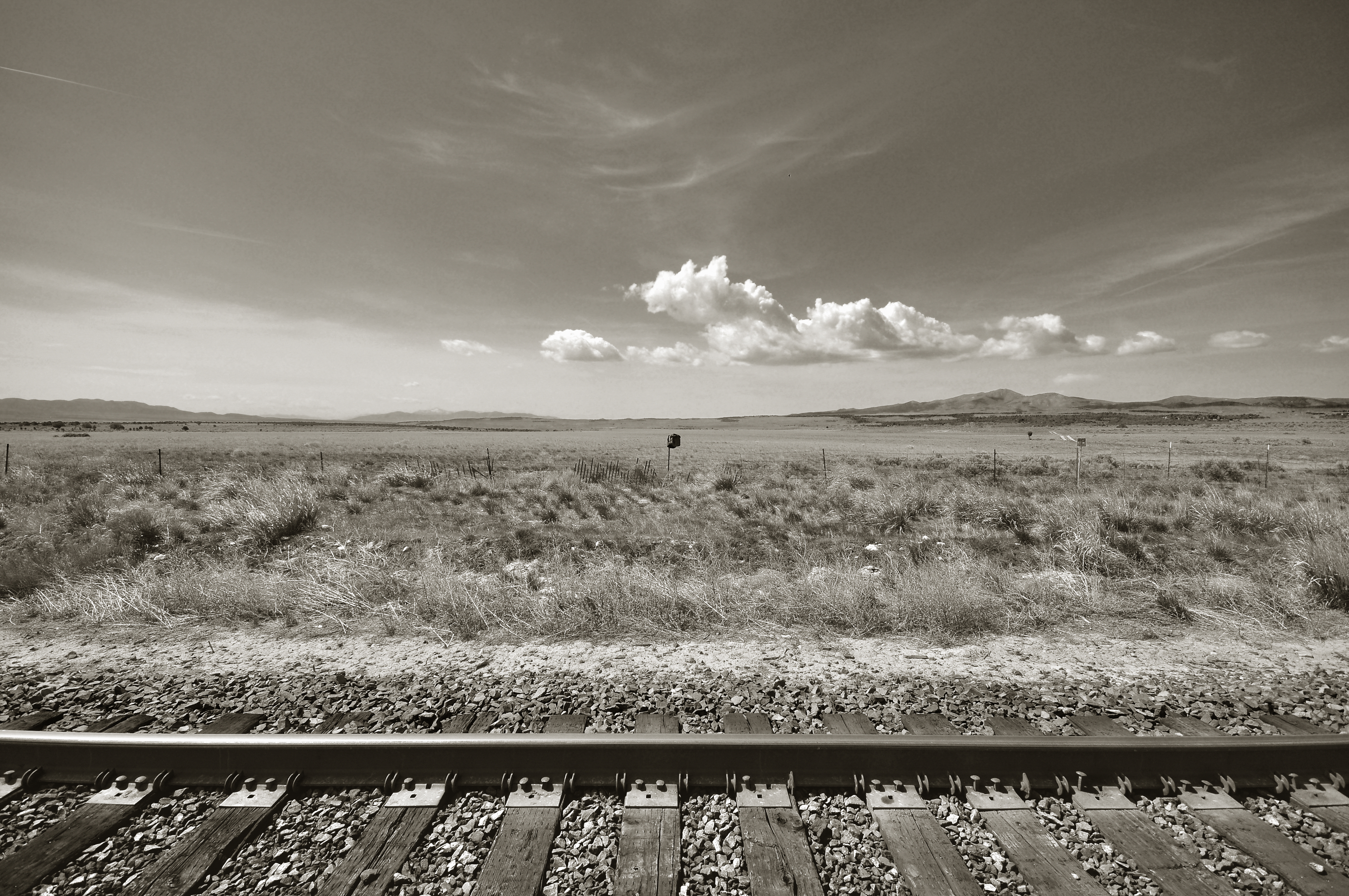
U.S. Route 6 Between Eureka and Santaquin, Utah
U.S. Route 6 Near Eureka, Utah
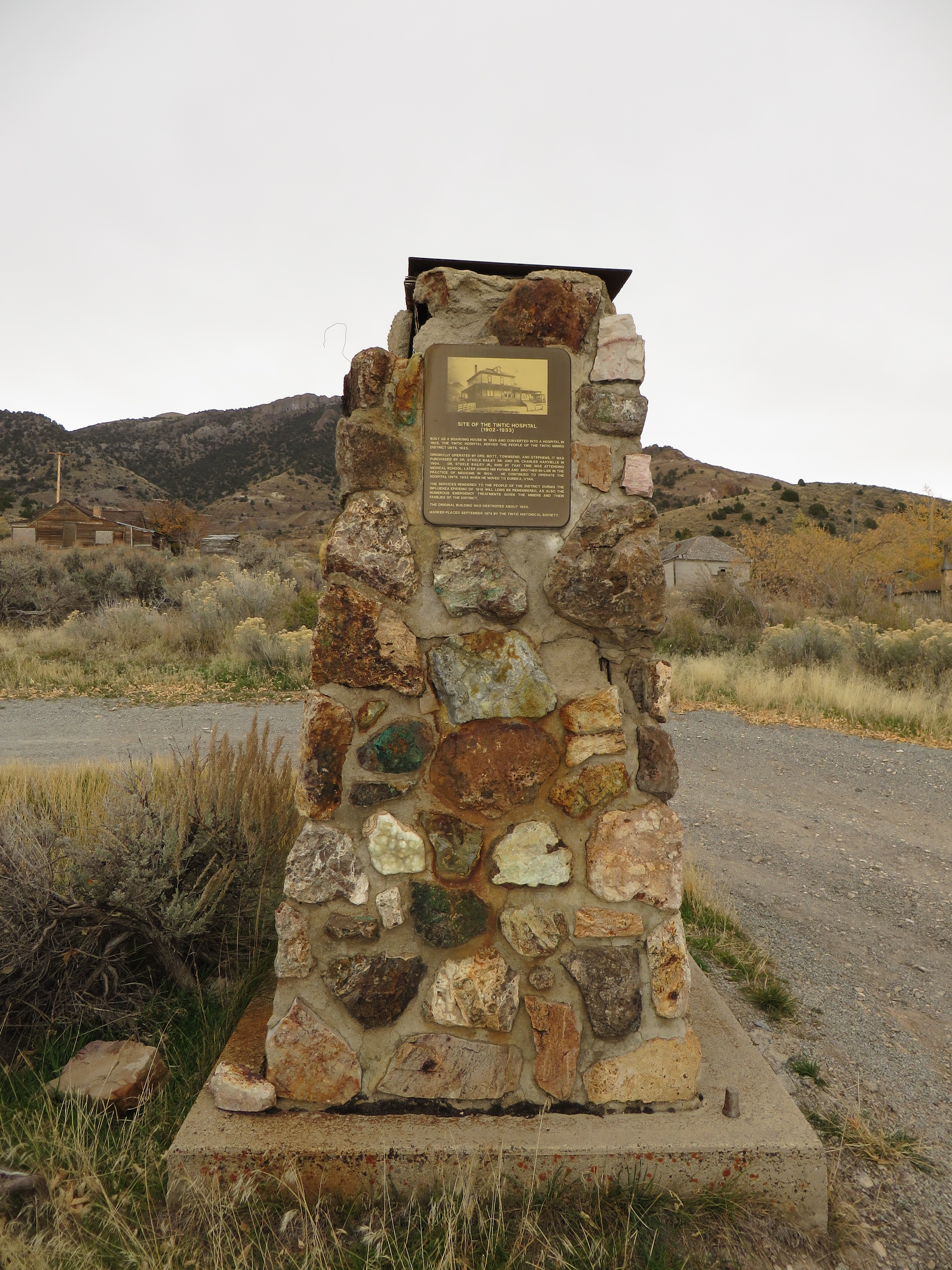
Site of the Tintic Hospital, Mammoth, Utah
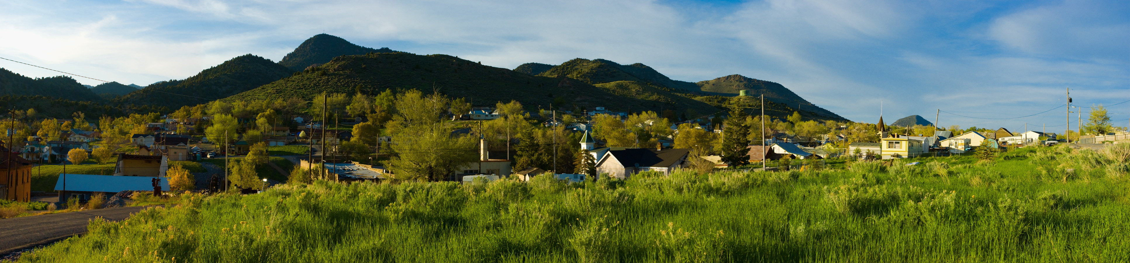
eureka panorama
Eureka, Utah
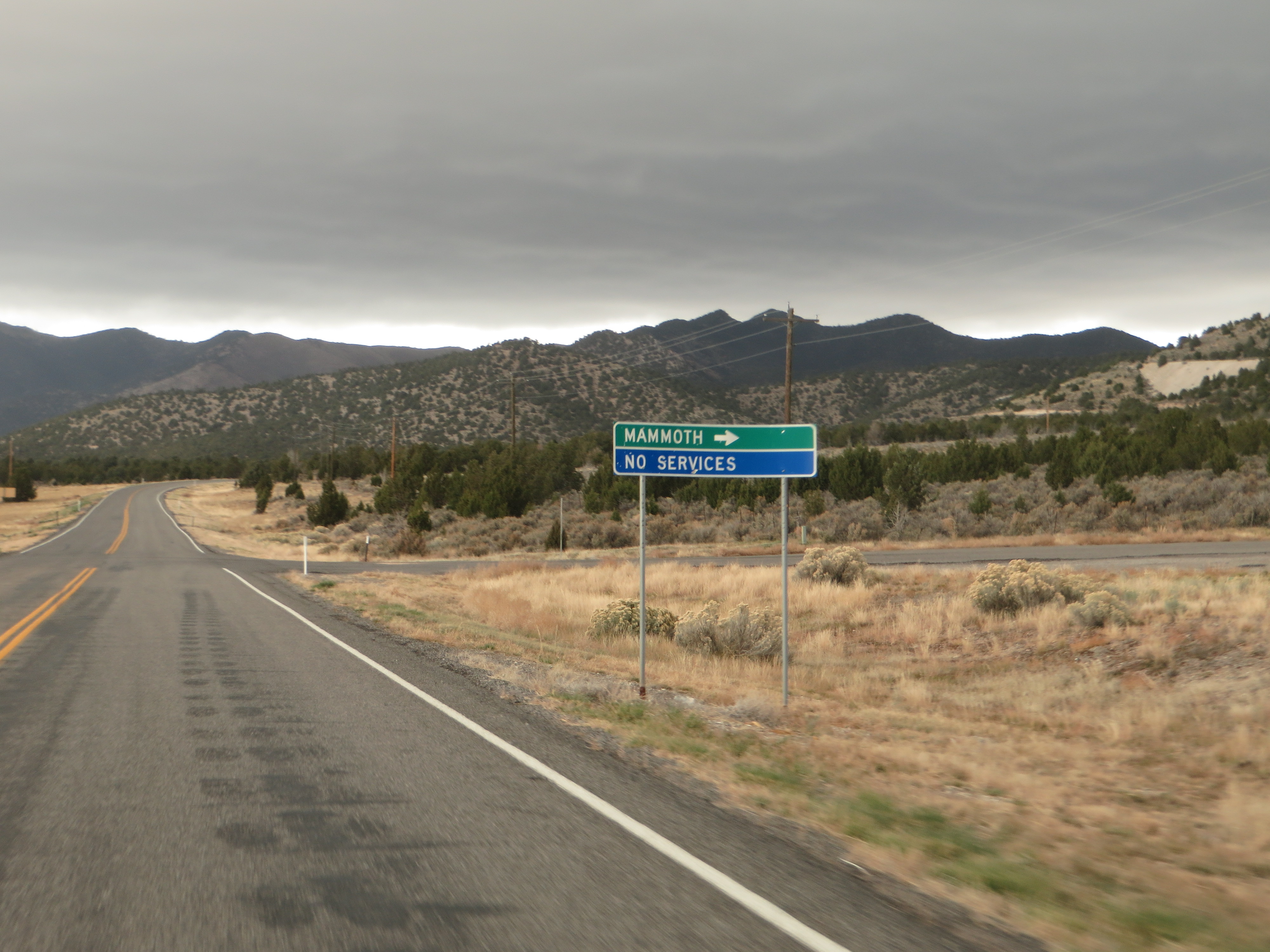
Turn-off to Mammoth, Utah, U.S. Route 6

branching out
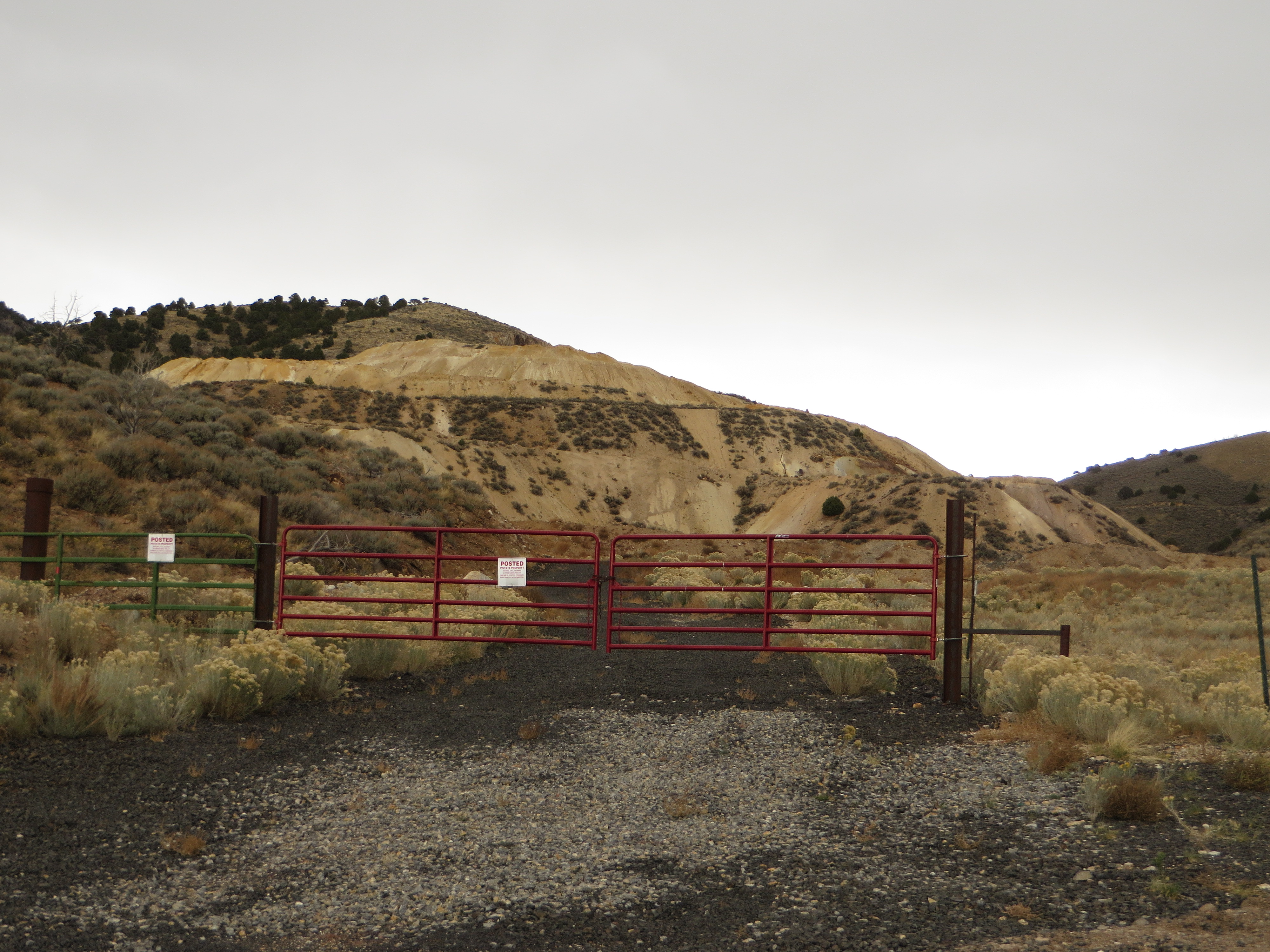
Dragon Mine, Dragon Canyon, Near Silver City, Utah

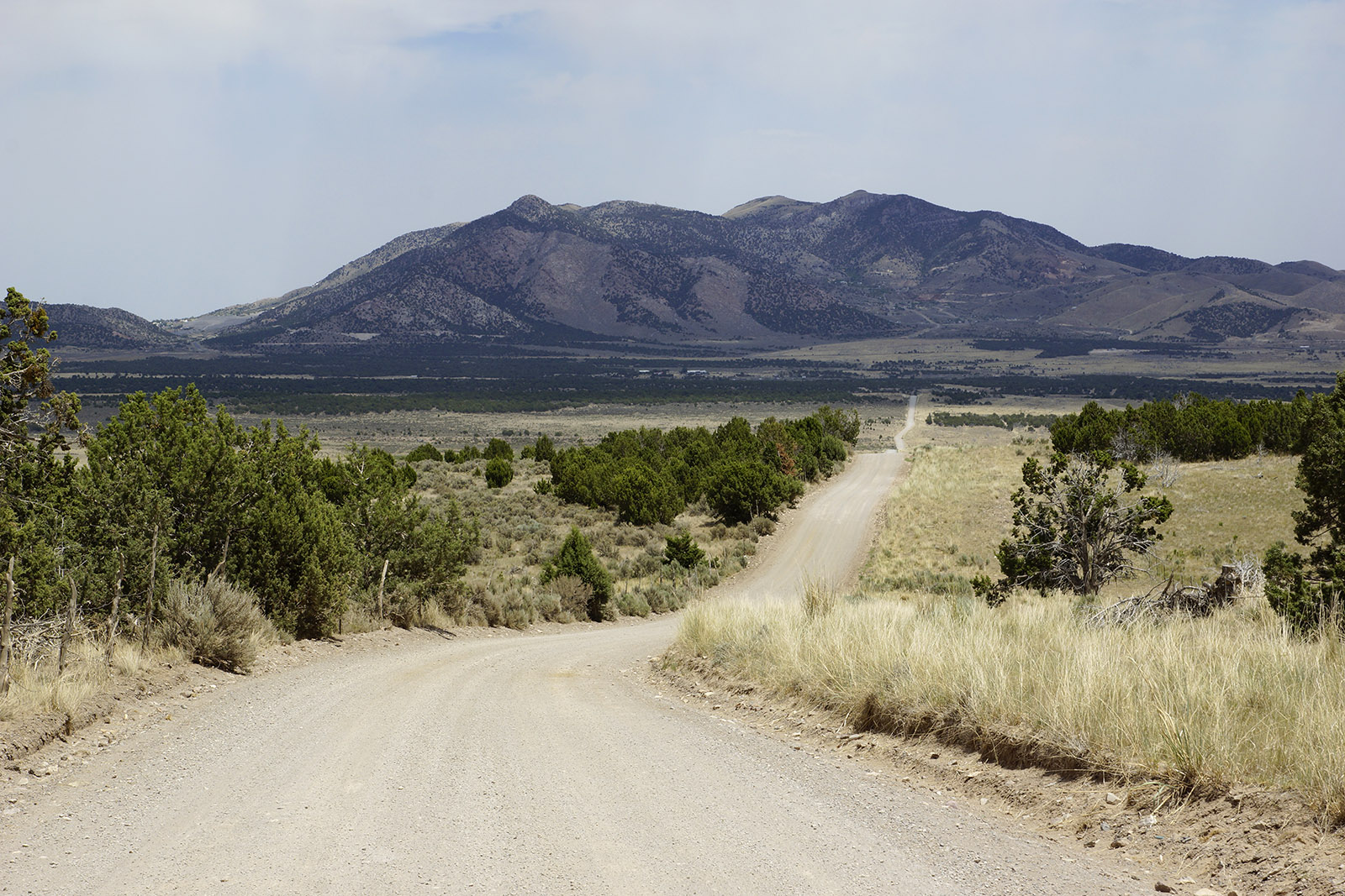
Road to Mammoth, Utah
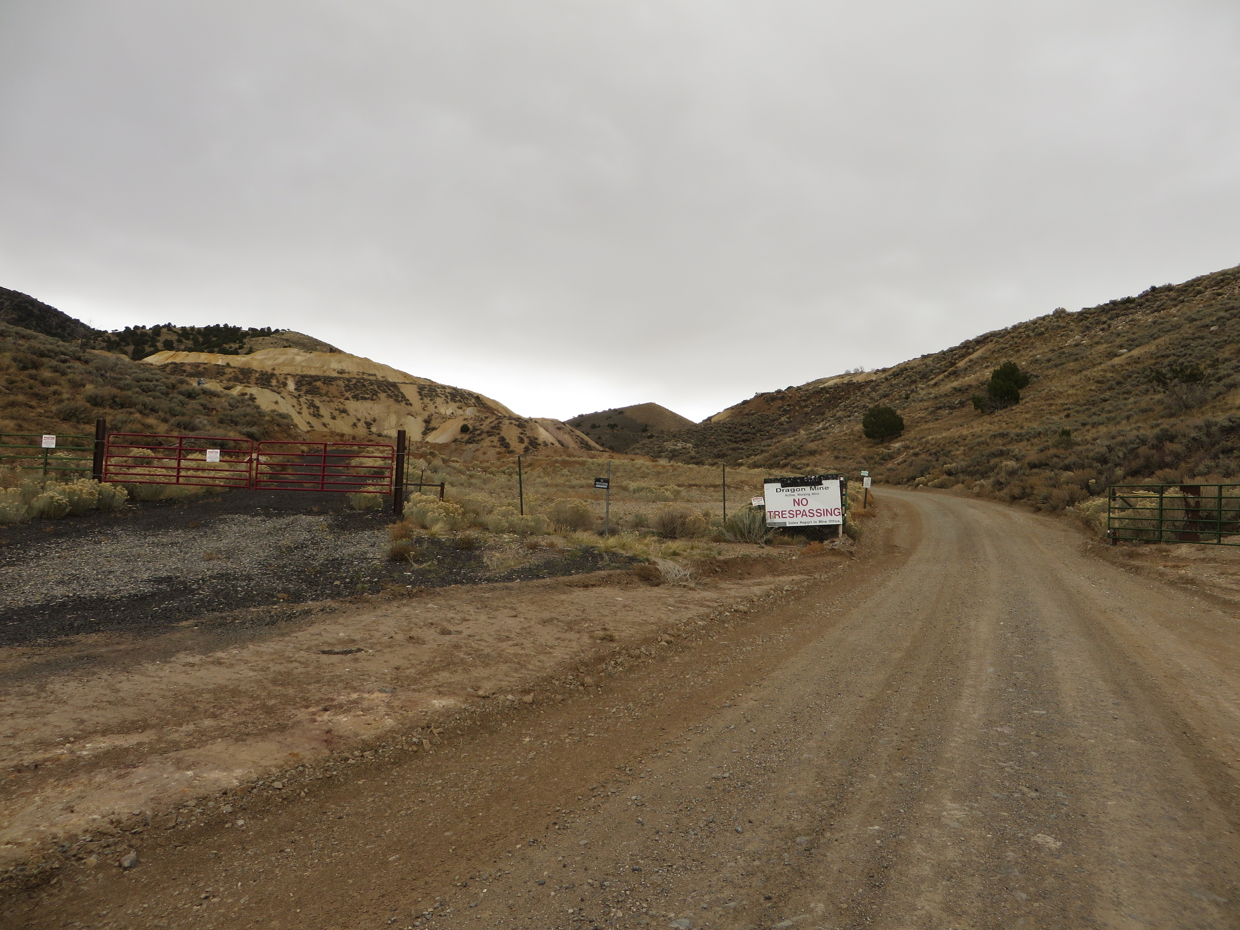
Dragon Mine, Dragon Canyon, Utah
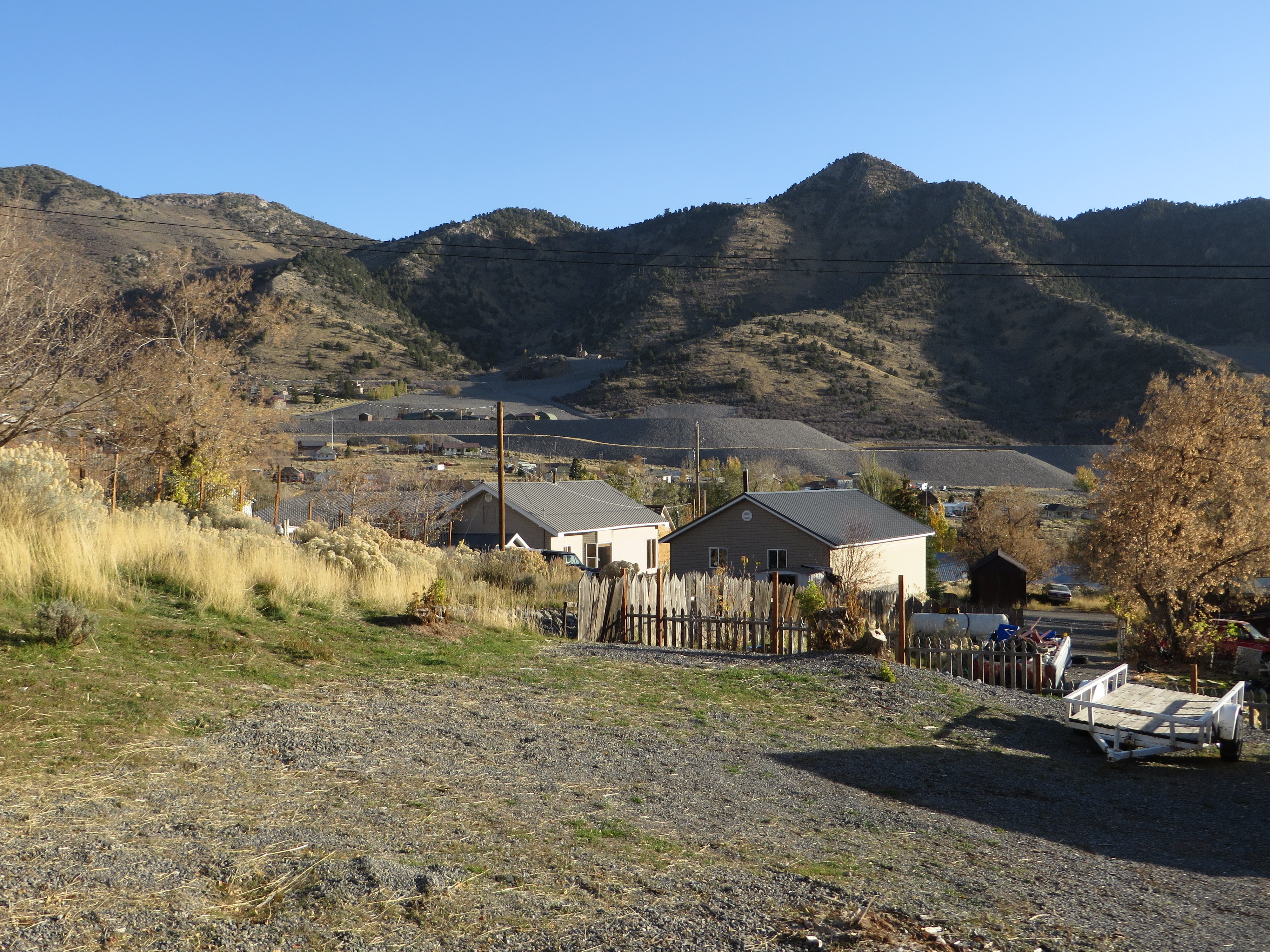
Mammoth, Utah
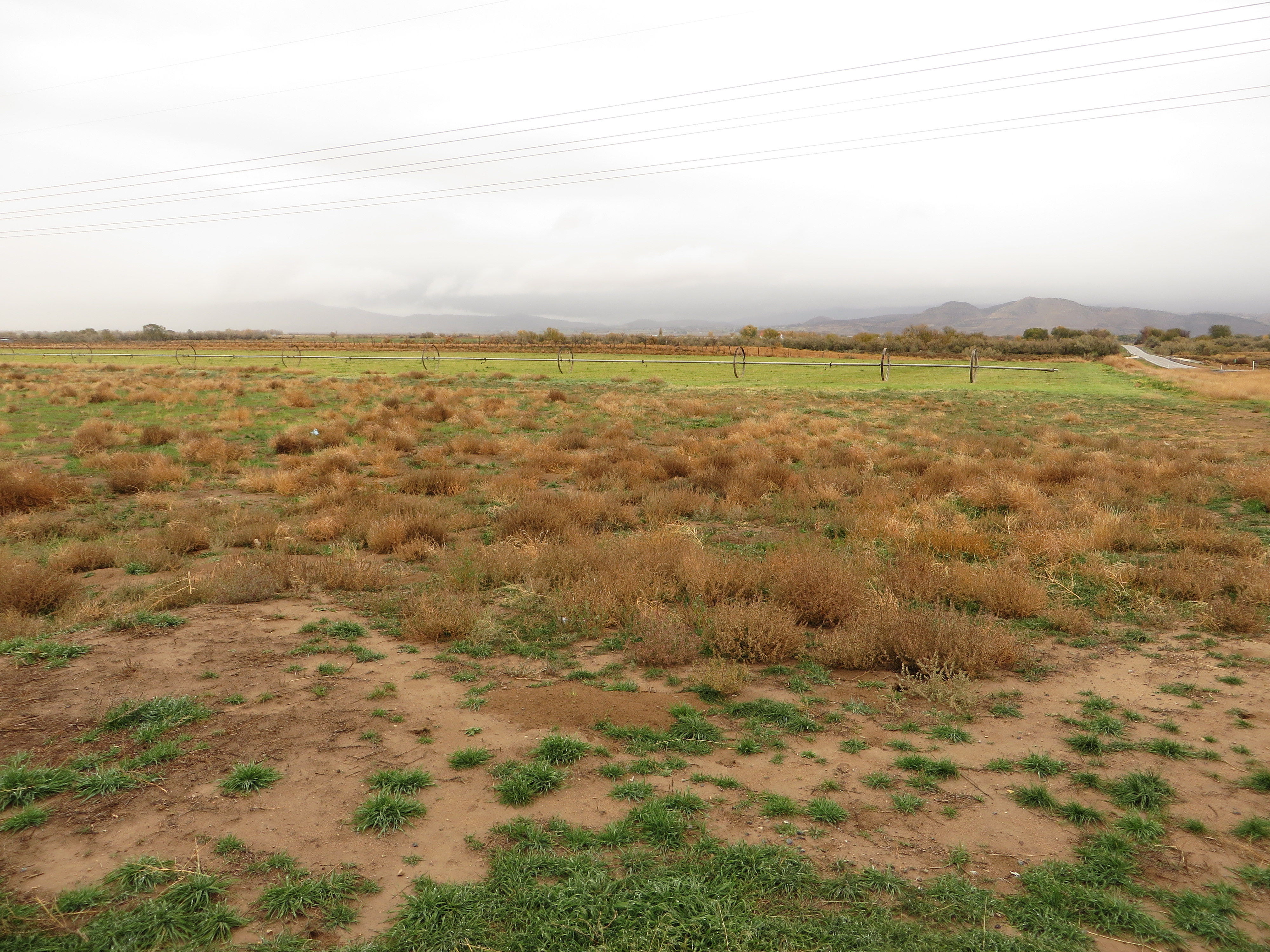
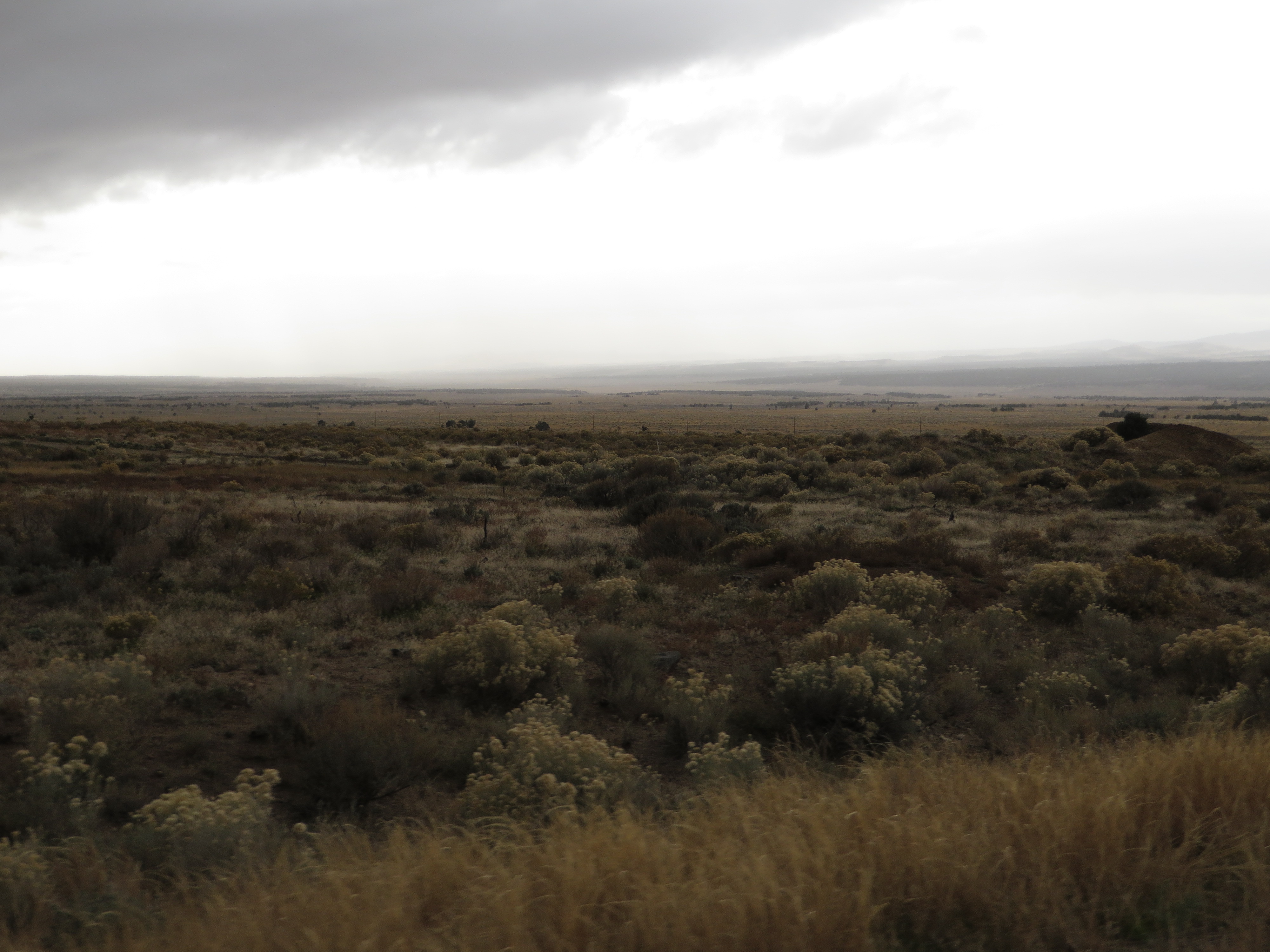
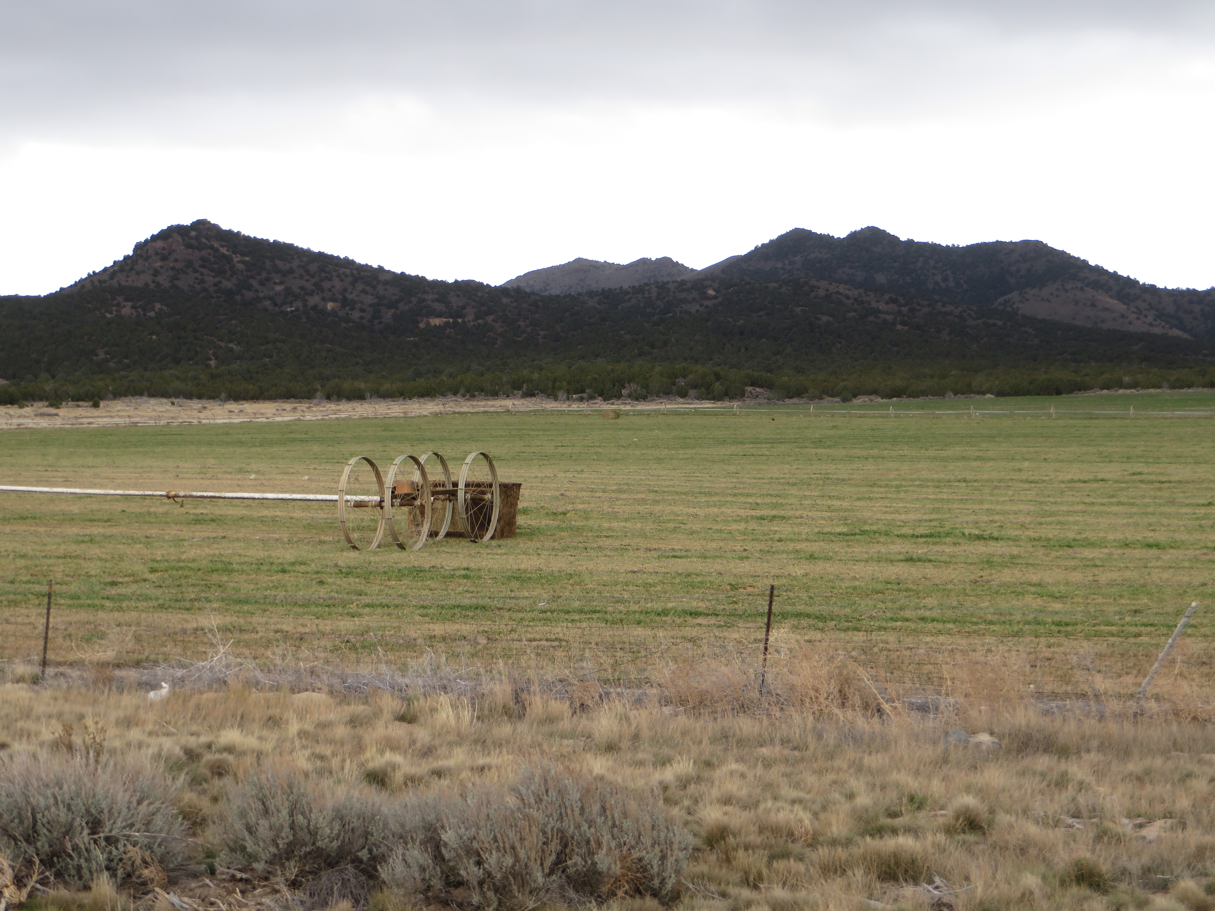
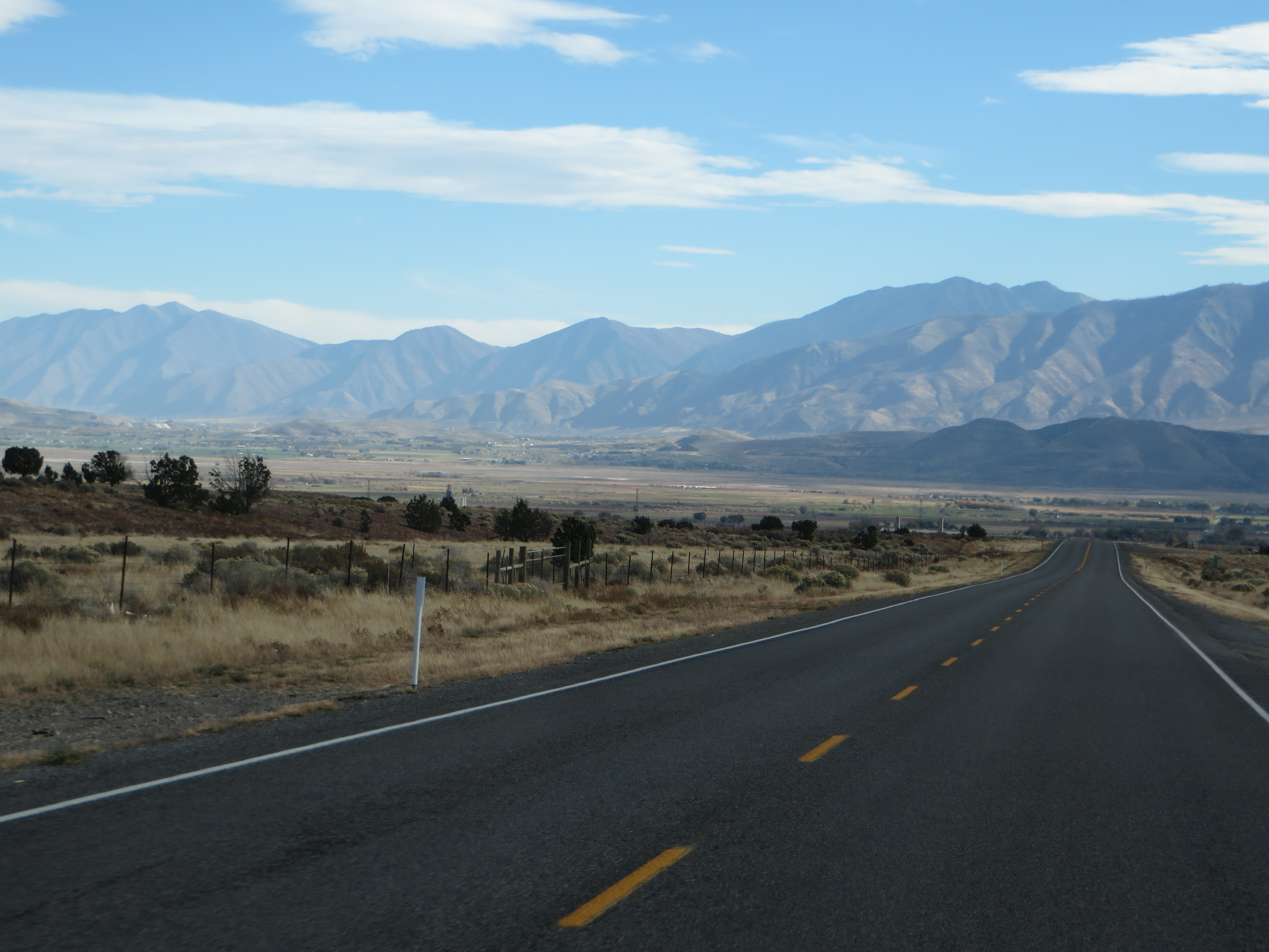
Goshen Valley, U.S. Route 6 Between Eureka and Santaquin, Utah
Topographic Map of Eureka, UT, USA
Find elevation by address:

Places near Eureka, UT, USA:
Goshen
Genola
32 N Main St, Genola, UT, USA
Nebo Ranch Street
Mona
730 Sunset Dr
Summit Ridge Parkway
The Mona Road
200 N 100 W
19 W Main St, Santaquin, UT, USA
Santaquin
West Mountain
S W, Payson, UT, USA
4303 Robbins Cir
Cedar Fort
Nephi
337 S 200 W
Eagle Mountain
Foxtail Way
Mount Nebo
Recent Searches:
- Elevation of Corso Fratelli Cairoli, 35, Macerata MC, Italy
- Elevation of Tallevast Rd, Sarasota, FL, USA
- Elevation of 4th St E, Sonoma, CA, USA
- Elevation of Black Hollow Rd, Pennsdale, PA, USA
- Elevation of Oakland Ave, Williamsport, PA, USA
- Elevation of Pedrógão Grande, Portugal
- Elevation of Klee Dr, Martinsburg, WV, USA
- Elevation of Via Roma, Pieranica CR, Italy
- Elevation of Tavkvetili Mountain, Georgia
- Elevation of Hartfords Bluff Cir, Mt Pleasant, SC, USA