Elevation of Lcr, Groesbeck, TX, USA
Location: United States > Texas > Groesbeck >
Longitude: -96.4766918
Latitude: 31.4378475
Elevation: 145m / 476feet
Barometric Pressure: 0KPa
Related Photos:

Limestone County Courthouse (Groesbeck, Texas)
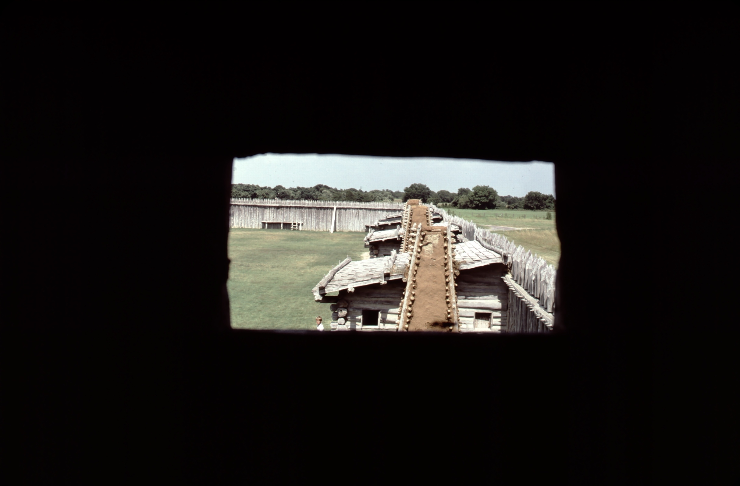
Fort Parker State Park, Texas

Fort Parker State Park, Texas

Fort Parker State Park, Texas

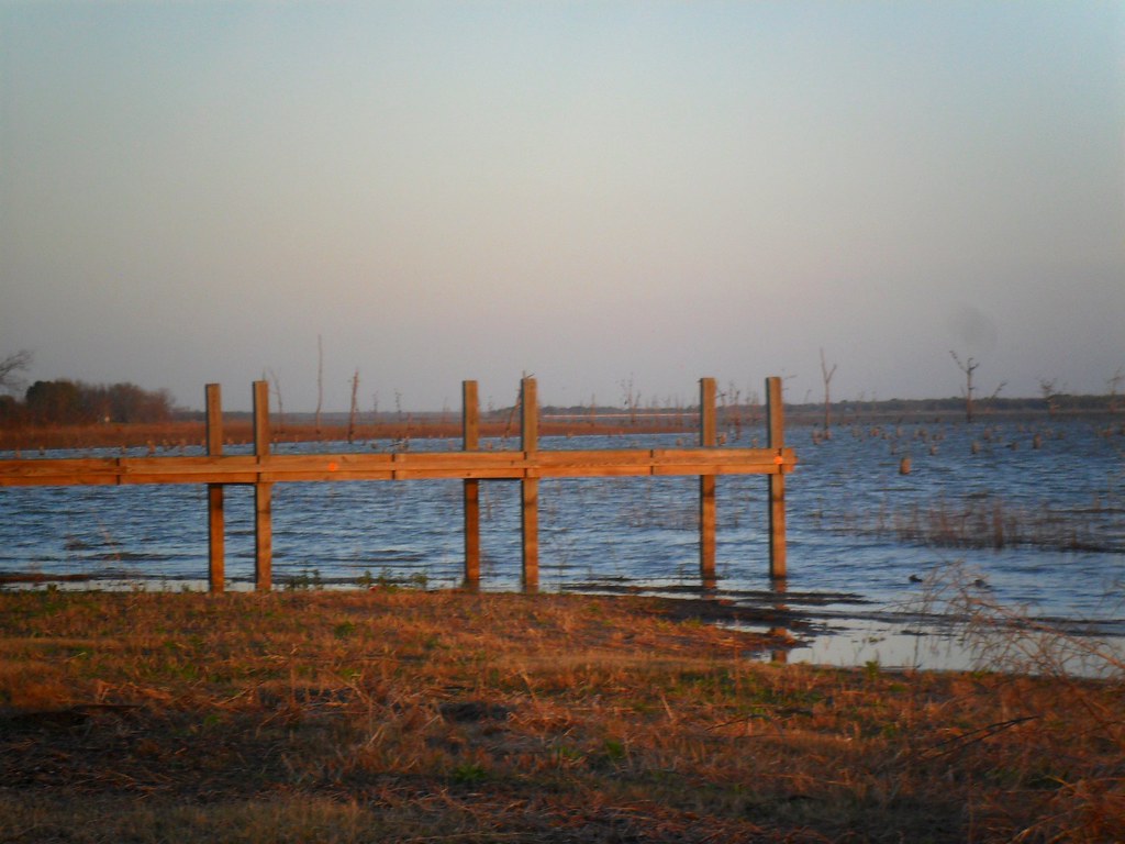
Fencing at Fort Parker in Texas - HFF!!!

What the Mouse Saw Before the End

Lakeside Grass

Once Deadhead
RR0009-02
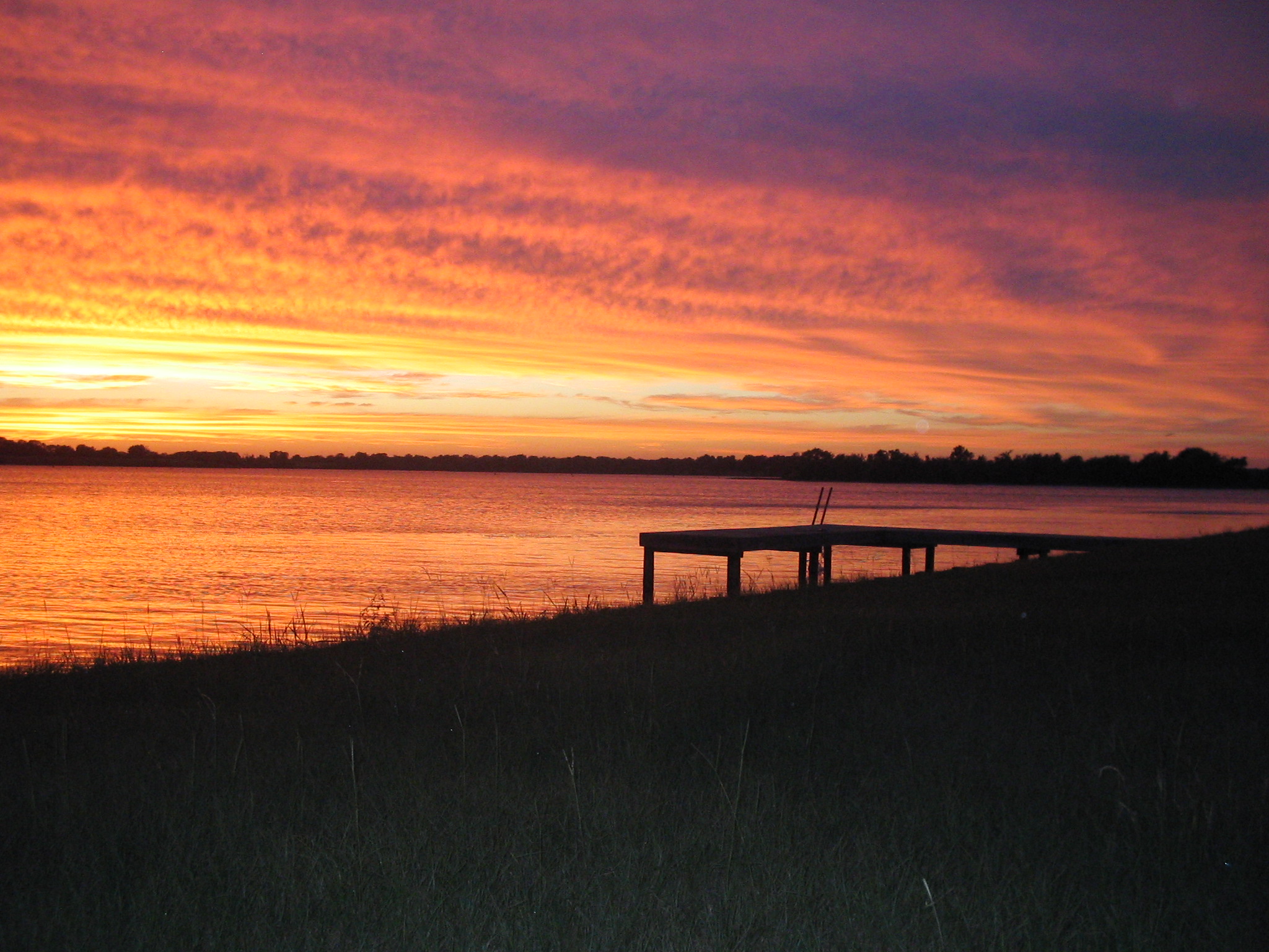
Sunset on Lake Limestone, Texas

Cookies 'N Cream, my favorite cow

Camping Memorial Day weekend
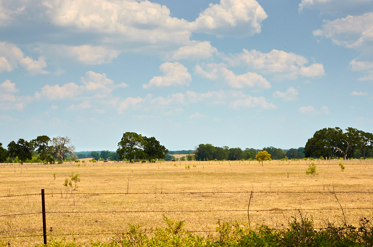
Ranch Land - the Soul of Texas
Topographic Map of Lcr, Groesbeck, TX, USA
Find elevation by address:

Places near Lcr, Groesbeck, TX, USA:
112 Lcr 762
Thornton
E 11th St, Thornton, TX, USA
419 Lcr 779
Groesbeck
FM, Groesbeck, TX, USA
184 Lcr 752a
184 Lcr 752a
184 Lcr 752a
Park Road 35, Groesbeck, TX, USA
Lcr 402
Lcr913
Lcr911
Lcr 906
20171 Winding Way Dr
Lcr 443
Kosse
Limestone County
535 F County Rd 751
Mexia
Recent Searches:
- Elevation of 10370, West 107th Circle, Westminster, Jefferson County, Colorado, 80021, USA
- Elevation of 611, Roman Road, Old Ford, Bow, London, England, E3 2RW, United Kingdom
- Elevation of 116, Beartown Road, Underhill, Chittenden County, Vermont, 05489, USA
- Elevation of Window Rock, Colfax County, New Mexico, 87714, USA
- Elevation of 4807, Rosecroft Street, Kempsville Gardens, Virginia Beach, Virginia, 23464, USA
- Elevation map of Matawinie, Quebec, Canada
- Elevation of Sainte-Émélie-de-l'Énergie, Matawinie, Quebec, Canada
- Elevation of Rue du Pont, Sainte-Émélie-de-l'Énergie, Matawinie, Quebec, J0K2K0, Canada
- Elevation of 8, Rue de Bécancour, Blainville, Thérèse-De Blainville, Quebec, J7B1N2, Canada
- Elevation of Wilmot Court North, 163, University Avenue West, Northdale, Waterloo, Region of Waterloo, Ontario, N2L6B6, Canada
- Elevation map of Panamá Province, Panama
- Elevation of Balboa, Panamá Province, Panama
- Elevation of San Miguel, Balboa, Panamá Province, Panama
- Elevation of Isla Gibraleón, San Miguel, Balboa, Panamá Province, Panama
- Elevation of 4655, Krischke Road, Schulenburg, Fayette County, Texas, 78956, USA
- Elevation of Carnegie Avenue, Downtown Cleveland, Cleveland, Cuyahoga County, Ohio, 44115, USA
- Elevation of Walhonding, Coshocton County, Ohio, USA
- Elevation of Clifton Down, Clifton, Bristol, City of Bristol, England, BS8 3HU, United Kingdom
- Elevation map of Auvergne-Rhône-Alpes, France
- Elevation map of Upper Savoy, Auvergne-Rhône-Alpes, France