Elevation of Lcr A, Groesbeck, TX, USA
Location: United States > Texas > Groesbeck >
Longitude: -96.3581161
Latitude: 31.3995233
Elevation: 119m / 390feet
Barometric Pressure: 0KPa
Related Photos:

DSC05067

Once Deadhead
RR0009-02

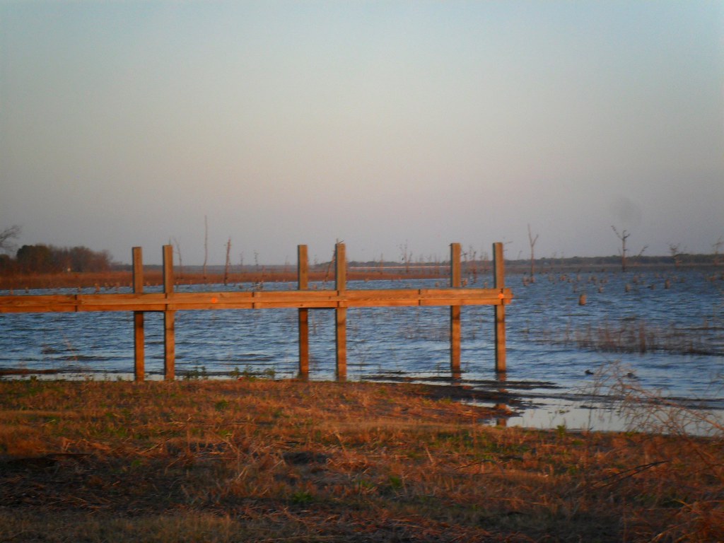
Sunset on Lake Limestone, Texas

Cookies 'N Cream, my favorite cow

Camping Memorial Day weekend

Roadside blooms

Lakeside Grass

2016 Amerika, Canada, Mexico (261)

2014-08-01_06-05-38

the Old Dead Tree Series 3

the Canoe

IMG00627-20090606-2051

IMG00626-20090606-1946

IMG00292-20090605-2019

IMG00136-20090411-1139

IMG00115-20090411-1029

Henry's watercolors

Roadside blooms
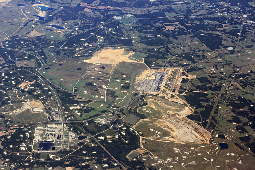
Jewett Lignite Mine
Topographic Map of Lcr A, Groesbeck, TX, USA
Find elevation by address:

Places near Lcr A, Groesbeck, TX, USA:
184 Lcr 752a
184 Lcr 752a
Lcr913
Lcr911
419 Lcr 779
Lcr 906
20171 Winding Way Dr
112 Lcr 762
Lcr 762
FM, Groesbeck, TX, USA
535 F County Rd 751
Donie, TX, USA
Donie
Main St, Donie, TX, USA
Marquez
Lcr 443
Nucor Steel Jewett
Thornton
E 11th St, Thornton, TX, USA
Groesbeck
Recent Searches:
- Elevation of 10370, West 107th Circle, Westminster, Jefferson County, Colorado, 80021, USA
- Elevation of 611, Roman Road, Old Ford, Bow, London, England, E3 2RW, United Kingdom
- Elevation of 116, Beartown Road, Underhill, Chittenden County, Vermont, 05489, USA
- Elevation of Window Rock, Colfax County, New Mexico, 87714, USA
- Elevation of 4807, Rosecroft Street, Kempsville Gardens, Virginia Beach, Virginia, 23464, USA
- Elevation map of Matawinie, Quebec, Canada
- Elevation of Sainte-Émélie-de-l'Énergie, Matawinie, Quebec, Canada
- Elevation of Rue du Pont, Sainte-Émélie-de-l'Énergie, Matawinie, Quebec, J0K2K0, Canada
- Elevation of 8, Rue de Bécancour, Blainville, Thérèse-De Blainville, Quebec, J7B1N2, Canada
- Elevation of Wilmot Court North, 163, University Avenue West, Northdale, Waterloo, Region of Waterloo, Ontario, N2L6B6, Canada
- Elevation map of Panamá Province, Panama
- Elevation of Balboa, Panamá Province, Panama
- Elevation of San Miguel, Balboa, Panamá Province, Panama
- Elevation of Isla Gibraleón, San Miguel, Balboa, Panamá Province, Panama
- Elevation of 4655, Krischke Road, Schulenburg, Fayette County, Texas, 78956, USA
- Elevation of Carnegie Avenue, Downtown Cleveland, Cleveland, Cuyahoga County, Ohio, 44115, USA
- Elevation of Walhonding, Coshocton County, Ohio, USA
- Elevation of Clifton Down, Clifton, Bristol, City of Bristol, England, BS8 3HU, United Kingdom
- Elevation map of Auvergne-Rhône-Alpes, France
- Elevation map of Upper Savoy, Auvergne-Rhône-Alpes, France