Elevation of Thornton, TX, USA
Location: United States > Texas > Limestone County >
Longitude: -96.572201
Latitude: 31.4110077
Elevation: 150m / 492feet
Barometric Pressure: 100KPa
Elevation Map:
Satellite Map:
Related Photos:

Hearn-Gidden House

Limestone County Courthouse (Groesbeck, Texas)
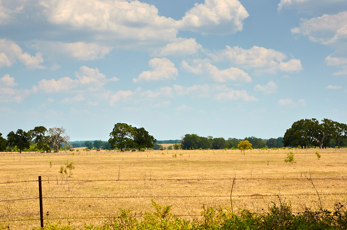
Ranch Land - the Soul of Texas

Auditorium Seats

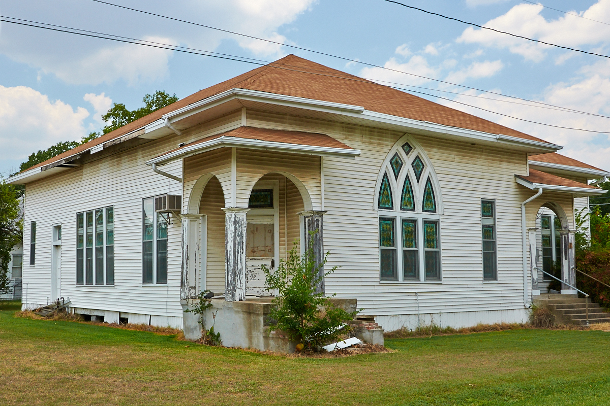
Vacant Victorian
Thornton Church of Christ
Whips and Chains
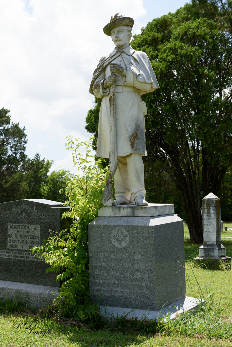
Wm. A Watson
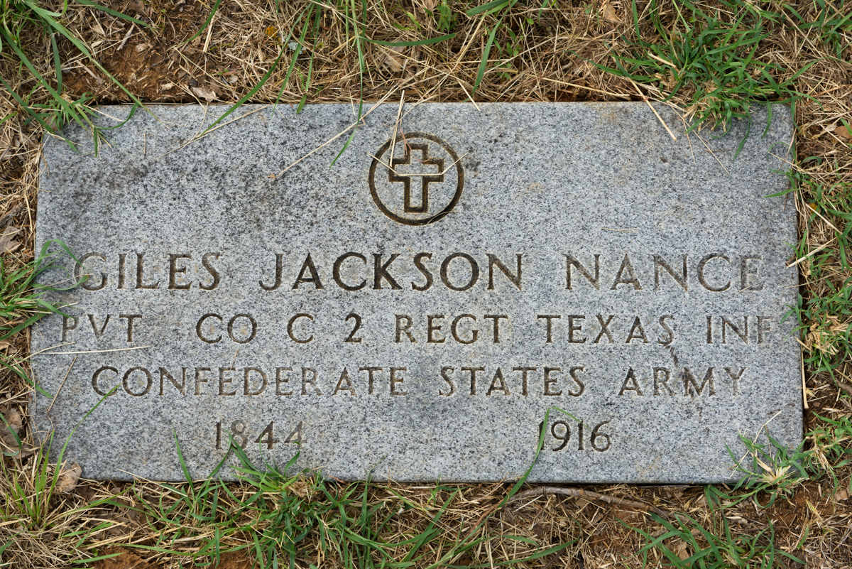
Giles Jackson Nance

Thornton, TX VFD

Thornton, TX VFD

Thornton, TX VFD

Thornton, TX VFD 2100
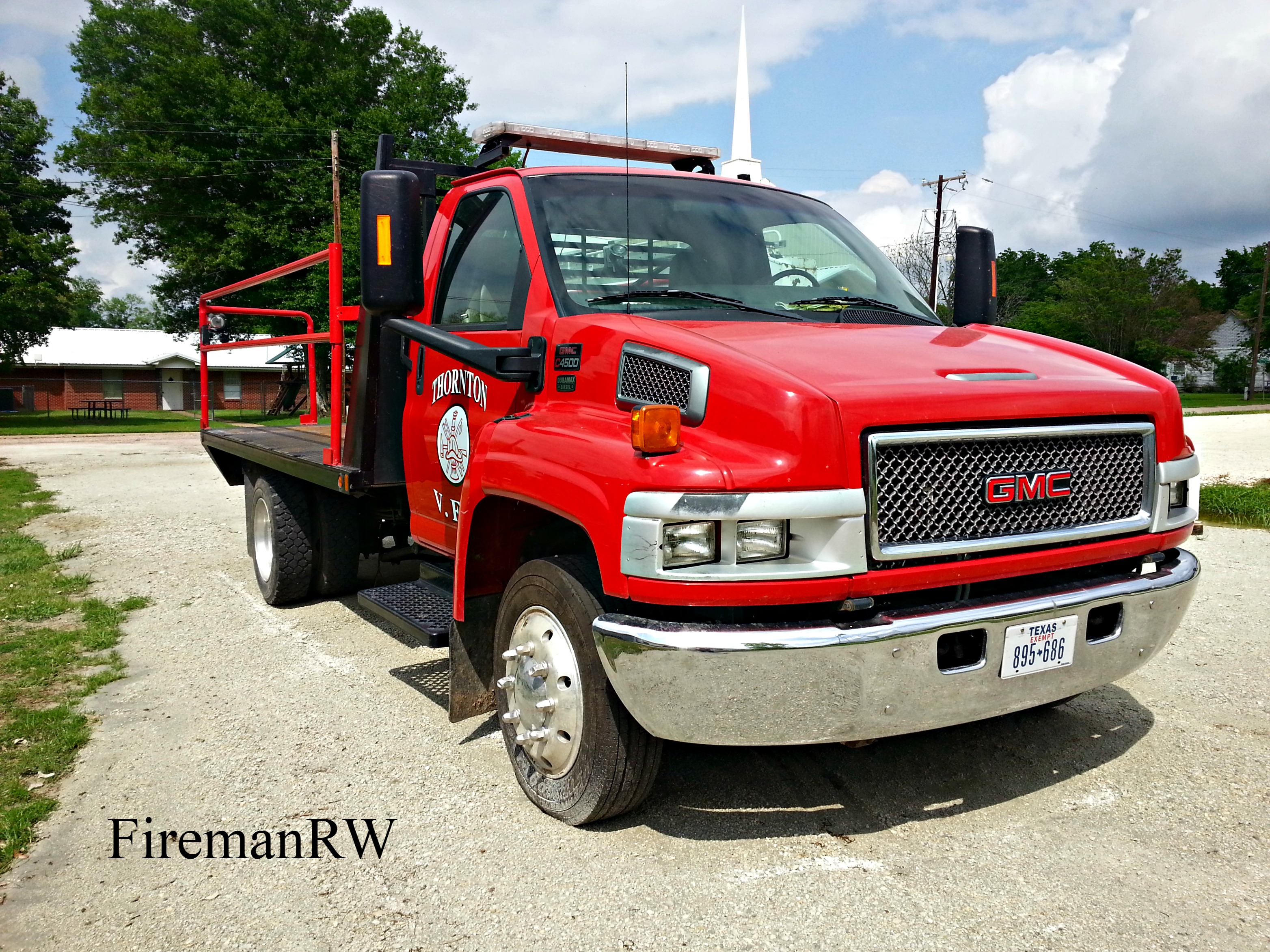
Thornton, TX VFD 2100

Thornton, TX VFD

Thornton, TX VFD
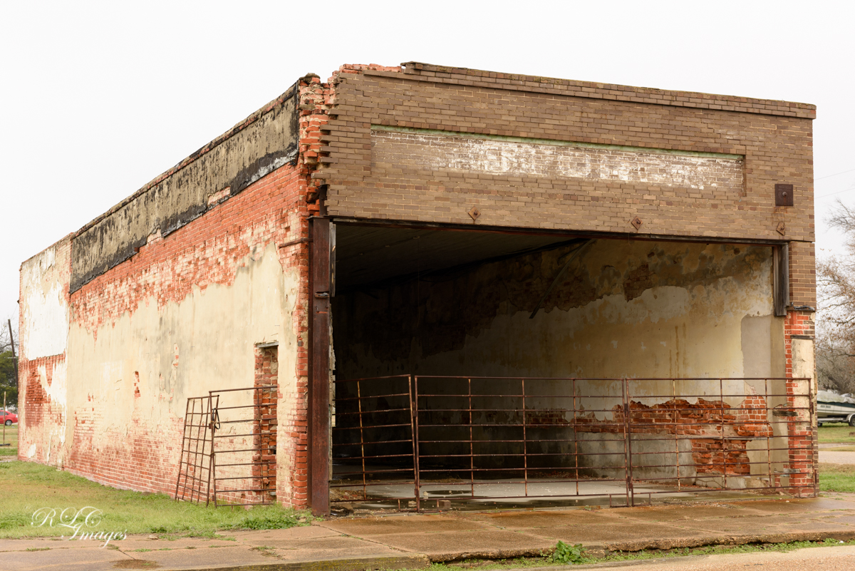
A Shell of Its Former Self
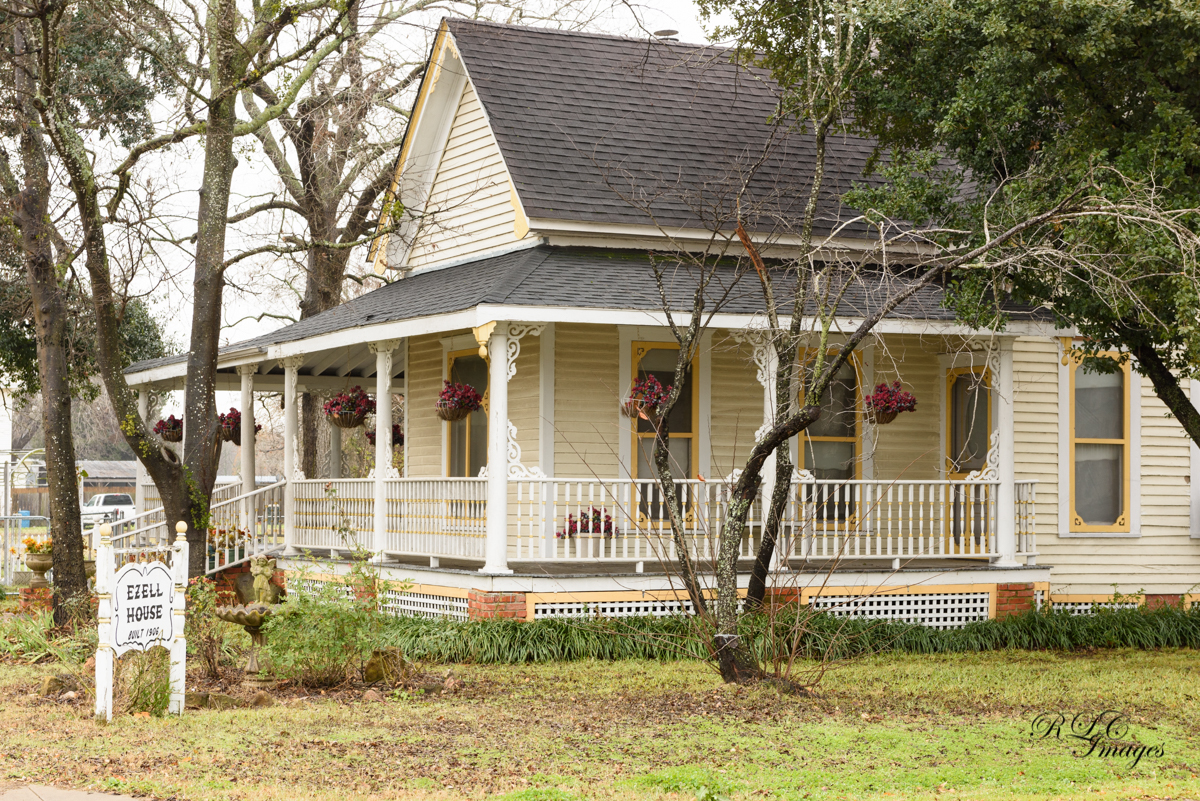
Ezell House

Old Things

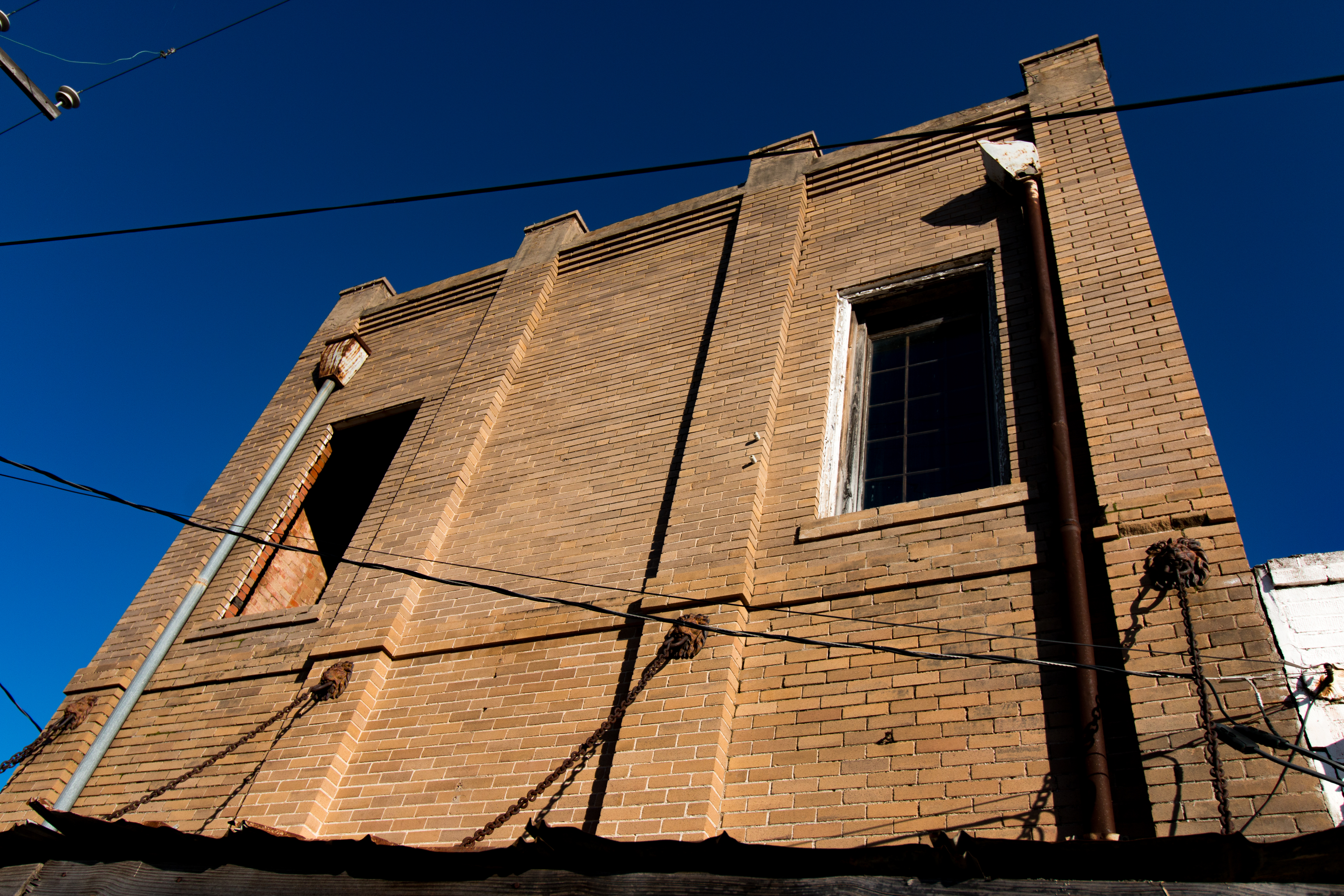
Hardware Pipe
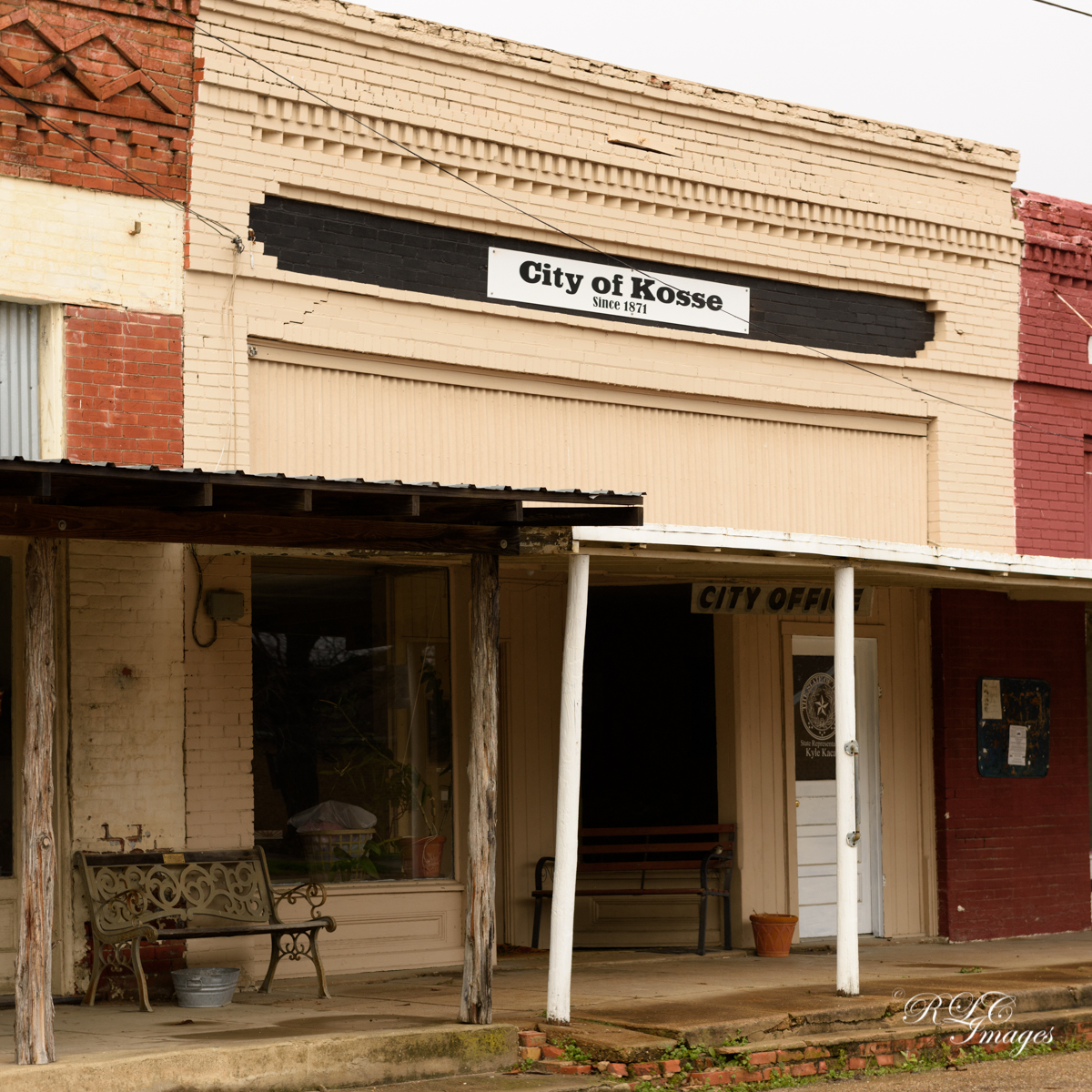
Since 1871
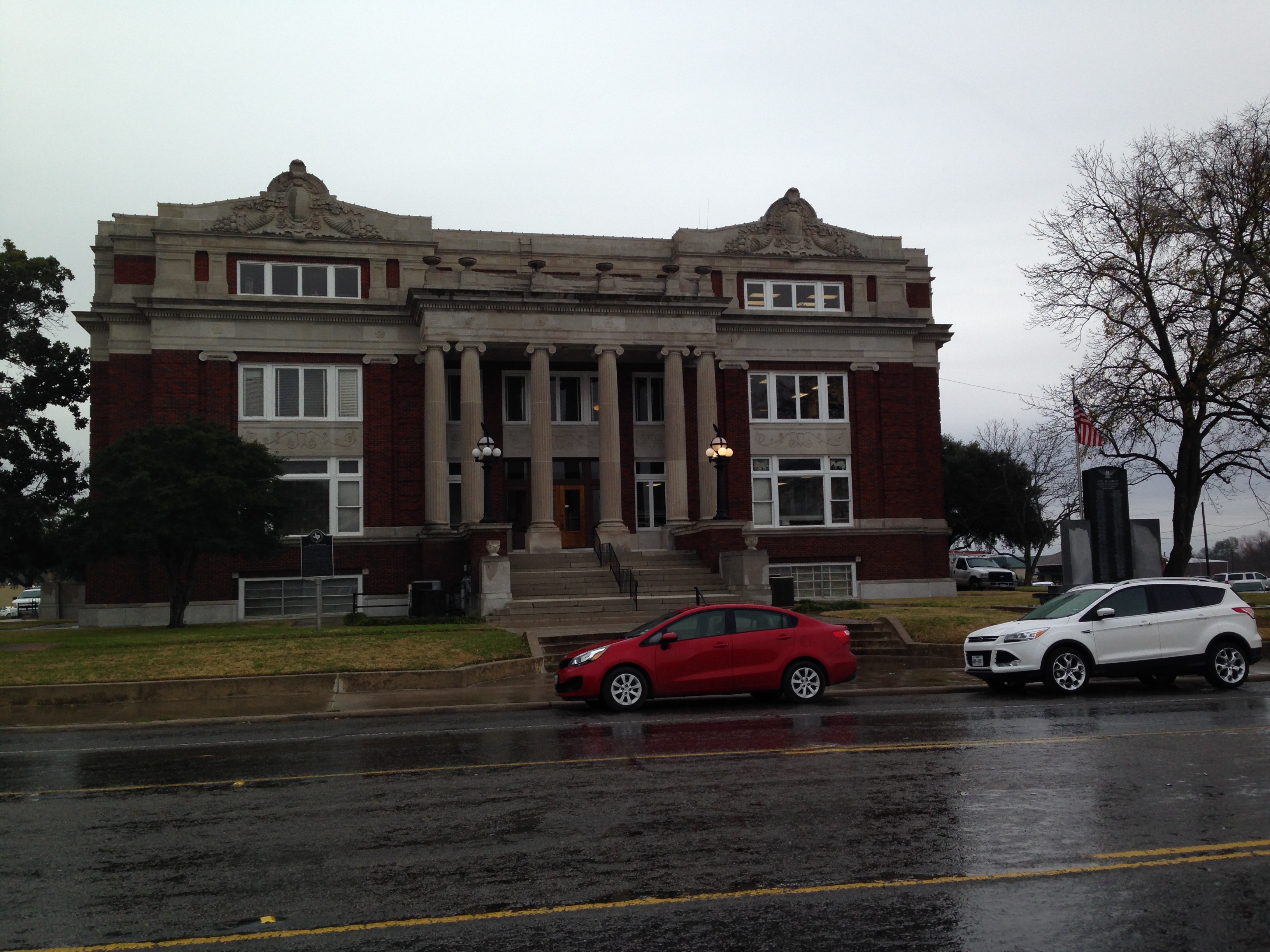
Limestone - Groesbeck

Kosse, TX VFD Brush 2304
Topographic Map of Thornton, TX, USA
Find elevation by address:

Places in Thornton, TX, USA:
Places near Thornton, TX, USA:
E 11th St, Thornton, TX, USA
Lcr 762
112 Lcr 762
Kosse
Groesbeck
Park Road 35, Groesbeck, TX, USA
Limestone County
Lcr 402
FM, Groesbeck, TX, USA
419 Lcr 779
184 Lcr 752a
184 Lcr 752a
184 Lcr 752a
Lcr913
Lcr911
20171 Winding Way Dr
Lcr 906
Lcr 443
Bremond
Mexia
Recent Searches:
- Elevation of Corso Fratelli Cairoli, 35, Macerata MC, Italy
- Elevation of Tallevast Rd, Sarasota, FL, USA
- Elevation of 4th St E, Sonoma, CA, USA
- Elevation of Black Hollow Rd, Pennsdale, PA, USA
- Elevation of Oakland Ave, Williamsport, PA, USA
- Elevation of Pedrógão Grande, Portugal
- Elevation of Klee Dr, Martinsburg, WV, USA
- Elevation of Via Roma, Pieranica CR, Italy
- Elevation of Tavkvetili Mountain, Georgia
- Elevation of Hartfords Bluff Cir, Mt Pleasant, SC, USA