Elevation of Lcr A, Groesbeck, TX, USA
Location: United States > Texas > Groesbeck >
Longitude: -96.358116
Latitude: 31.3995233
Elevation: 119m / 390feet
Barometric Pressure: 100KPa
Elevation Map:
Satellite Map:
Related Photos:

DSC05067

Roadside blooms

Once Deadhead
RR0009-02
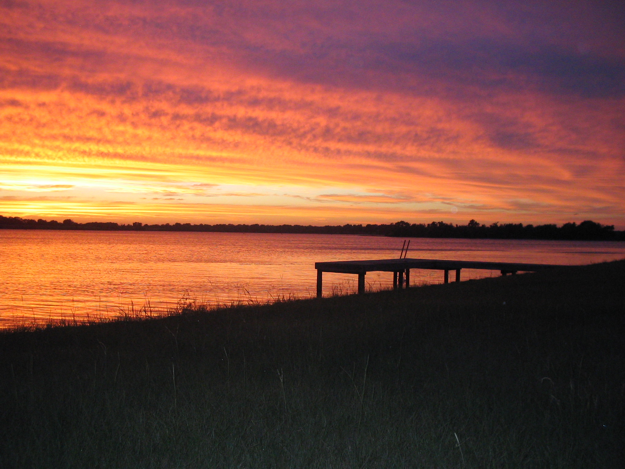
Sunset on Lake Limestone, Texas

Cookies 'N Cream, my favorite cow

Camping Memorial Day weekend

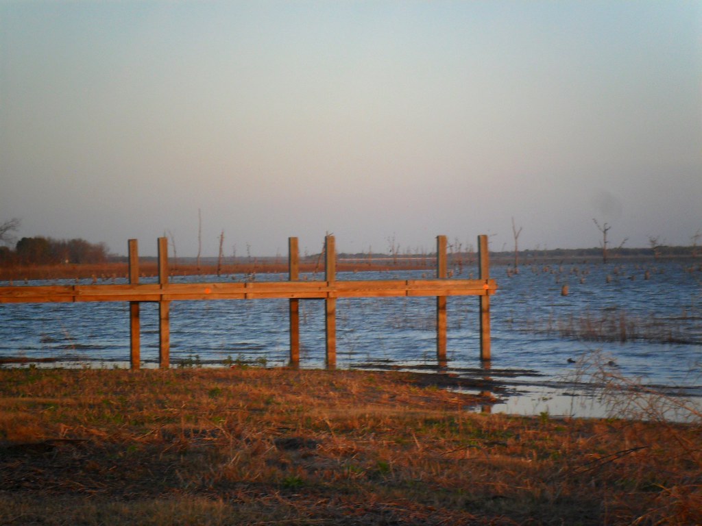
Lakeside Grass

2016 Amerika, Canada, Mexico (261)
2014-08-01_06-05-38

the Old Dead Tree Series 3

the Canoe

IMG00627-20090606-2051

IMG00626-20090606-1946

IMG00292-20090605-2019

IMG00136-20090411-1139

IMG00115-20090411-1029

Henry's watercolors

Roadside blooms
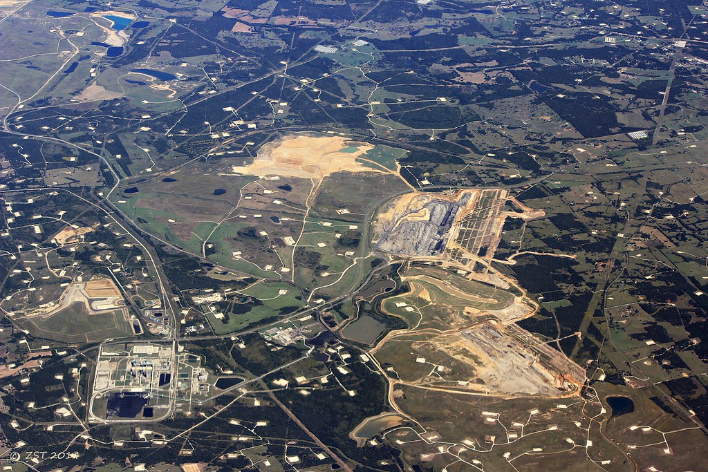
Jewett Lignite Mine
Topographic Map of Lcr A, Groesbeck, TX, USA
Find elevation by address:

Places near Lcr A, Groesbeck, TX, USA:
184 Lcr 752a
184 Lcr 752a
Lcr913
Lcr911
419 Lcr 779
Lcr 906
20171 Winding Way Dr
112 Lcr 762
Lcr 762
FM, Groesbeck, TX, USA
535 F County Rd 751
Donie, TX, USA
Donie
Main St, Donie, TX, USA
Marquez
Lcr 443
Nucor Steel Jewett
Thornton
E 11th St, Thornton, TX, USA
Groesbeck
Recent Searches:
- Elevation of Corso Fratelli Cairoli, 35, Macerata MC, Italy
- Elevation of Tallevast Rd, Sarasota, FL, USA
- Elevation of 4th St E, Sonoma, CA, USA
- Elevation of Black Hollow Rd, Pennsdale, PA, USA
- Elevation of Oakland Ave, Williamsport, PA, USA
- Elevation of Pedrógão Grande, Portugal
- Elevation of Klee Dr, Martinsburg, WV, USA
- Elevation of Via Roma, Pieranica CR, Italy
- Elevation of Tavkvetili Mountain, Georgia
- Elevation of Hartfords Bluff Cir, Mt Pleasant, SC, USA